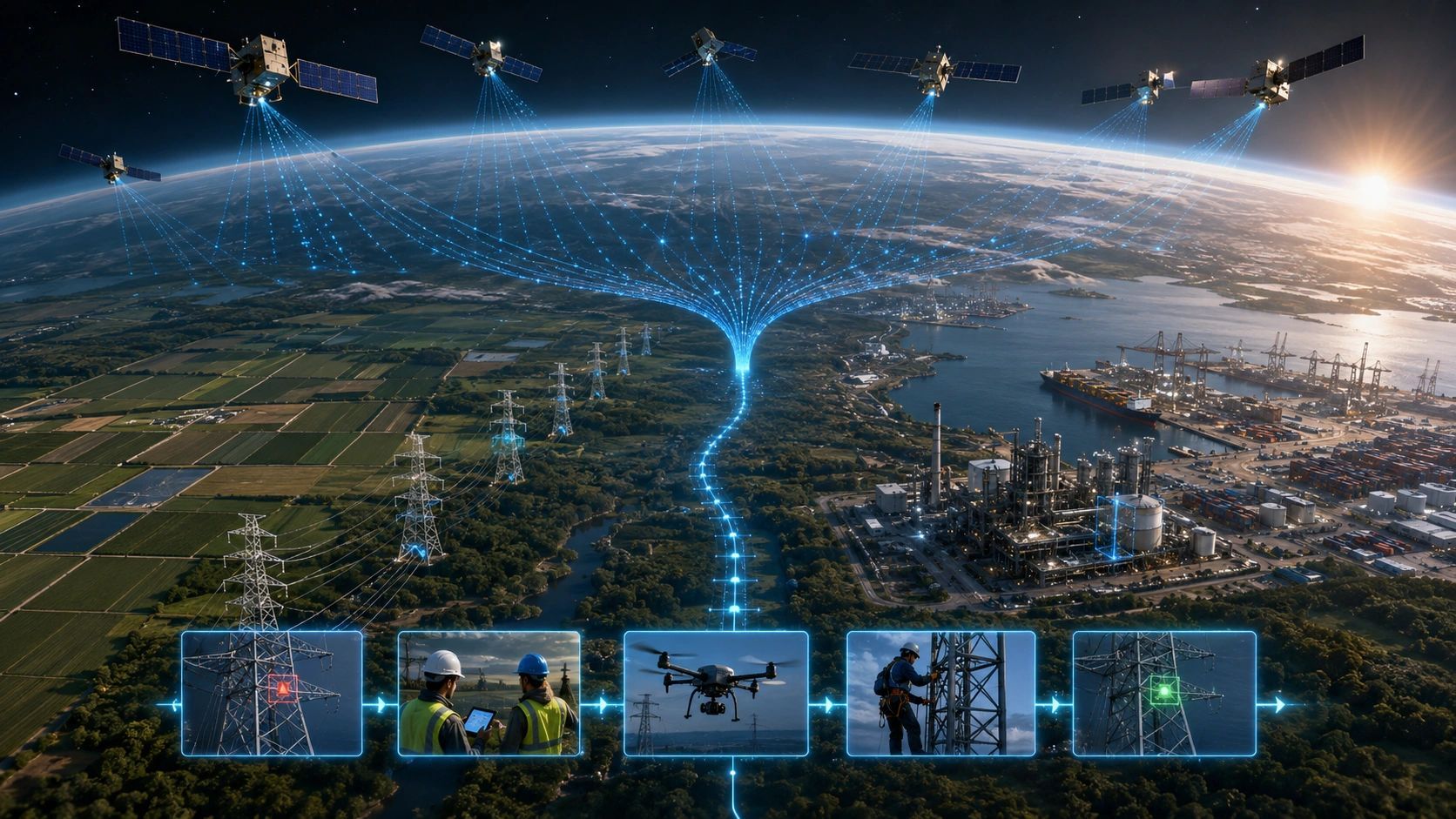
A satellite may soon detect a wildfire, vessel anomaly or infrastructure change within seconds. The enterprise responsible for acting may still need hours to decide what the alert means, who owns it and whether intervention is authorized.
That gap is becoming the real constraint in Earth observation. Faster detection is valuable, but only when the receiving organization can convert a machine-generated event into a trusted operational response.
The next bottleneck is therefore not necessarily in orbit. It is inside the enterprise.
The Earth observation workflow is changing
A reported $1 billion UAE commitment to a French-led initiative involving Loft Orbital, Mistral AI and Nvidia points toward a constellation of roughly 50 AI-equipped satellites. The stated concept is to process imagery and sensor data onboard and issue alerts within seconds, instead of routinely sending all raw data to the ground before analysis.
The potential applications are broad: wildfire detection, infrastructure monitoring, maritime activity, airport and port observation, and defense-related warning. The strategic significance is not only faster analytics. It is a change in what reaches the enterprise.
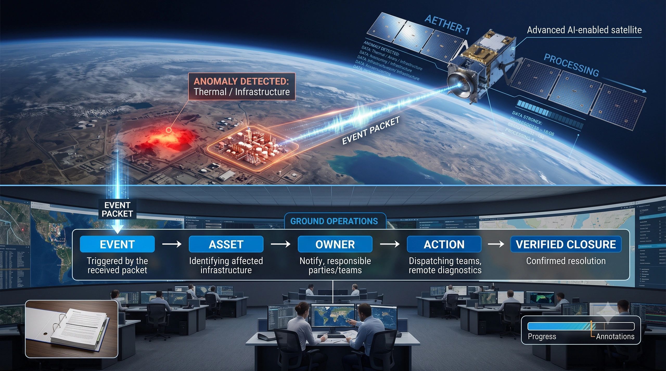
The conventional workflow is familiar: observe, downlink, process, analyze and alert. Onboard inference can compress that sequence to: observe, analyze onboard and transmit an event.
This can reduce latency and bandwidth demand. It can also prioritize the small portion of a large data stream that appears operationally important. But the alert arriving on Earth is no longer simply an image waiting for an analyst. It is a machine-generated claim about an event.
An event is not yet a decision
Imagine a satellite reports a thermal anomaly near a transmission corridor. The event may include coordinates, time, confidence, sensor provenance and a selected image subset. That is useful, but an operator still needs answers that the satellite may not possess:
- Is the location associated with a known asset, right-of-way or protected area?
- Is the signal new, duplicated or related to an event already under review?
- What operational service, community or environmental condition is exposed?
- Which organization and individual own the next action?
- Does the evidence justify automatic escalation, human review or further observation?
- What proves that the event was resolved?
If those questions cannot be answered quickly, the enterprise has received a faster alert but not a faster outcome.
The response chain needs five capabilities
Organizations preparing for onboard AI should design an event-to-action architecture, not merely add another satellite feed.
1. Event identity. Every alert needs a durable identity. It should remain linked to its location, time, confidence, detection model, source sensor and available evidence. Without this, multiple satellites or repeated passes can create duplicate cases and conflicting narratives.
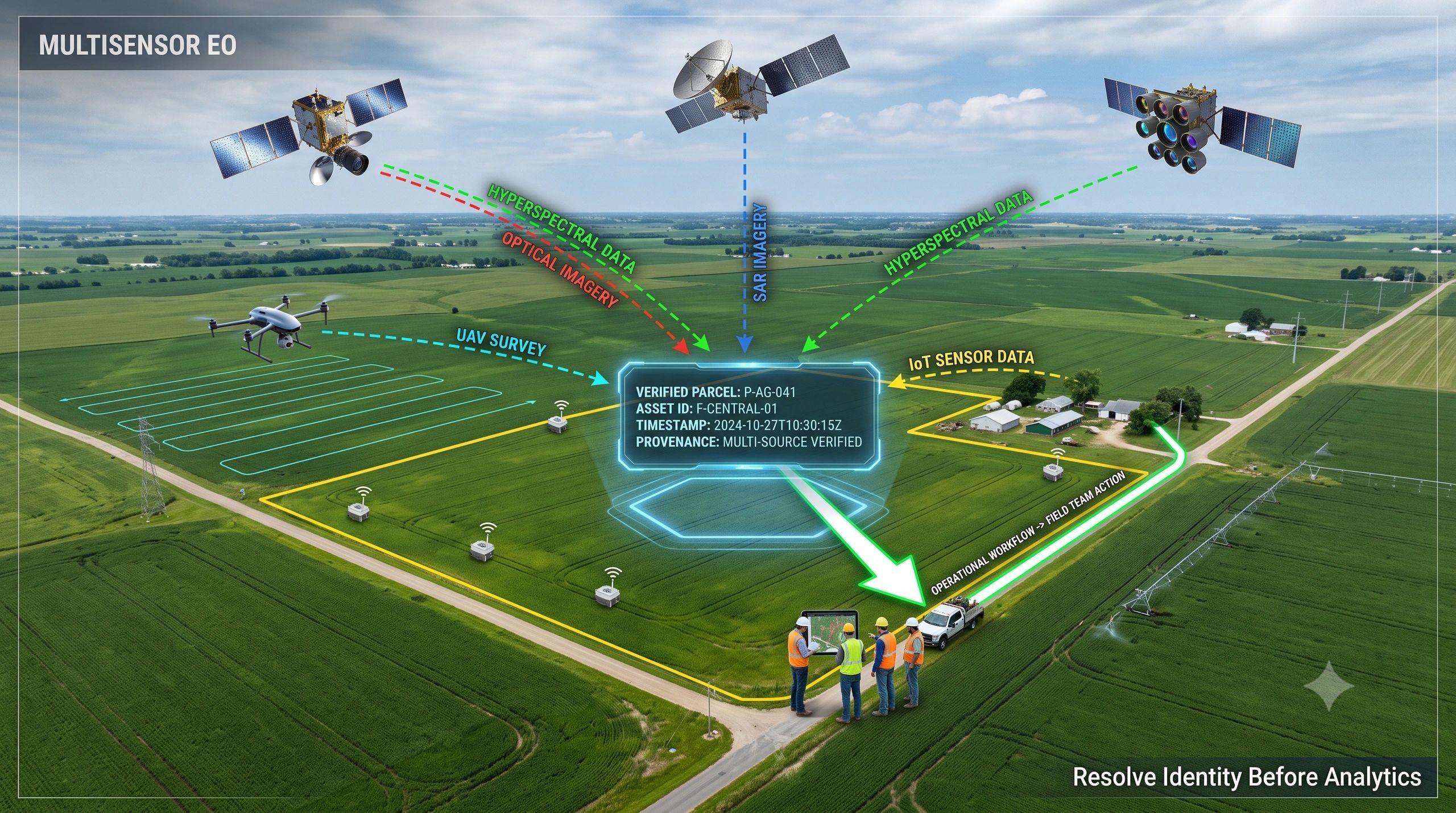
2. Context resolution. The event must be resolved against the physical and organizational world: asset, parcel, corridor, vessel, facility, owner, jurisdiction and current operating state. Geospatial intelligence becomes the bridge between detection and consequence.
3. Decision rules. Not every anomaly deserves the same response. Rules should consider confidence, asset criticality, proximity, persistence, regulatory thresholds and the cost of delay. The result may be act, review or collect more evidence.
4. Authority and workflow. A technically valid alert does not create authority to act. The system must identify who can acknowledge, verify, escalate, dispatch or close the case. For high-consequence events, human oversight and explicit authorization remain essential.
5. Closure evidence. A response is incomplete until the enterprise can show what happened afterward. A later satellite pass, drone survey, field image, sensor recovery or signed inspection record may confirm whether the required physical condition was restored.
Enterprise readiness will determine the value of orbital intelligence
This shift has consequences for technology design. Data-ingestion platforms must treat AI-generated event objects as first-class evidence, not only as notifications attached to raw imagery. They need to preserve provenance, model version, confidence, timestamps and the relationship between an event and its supporting observations.
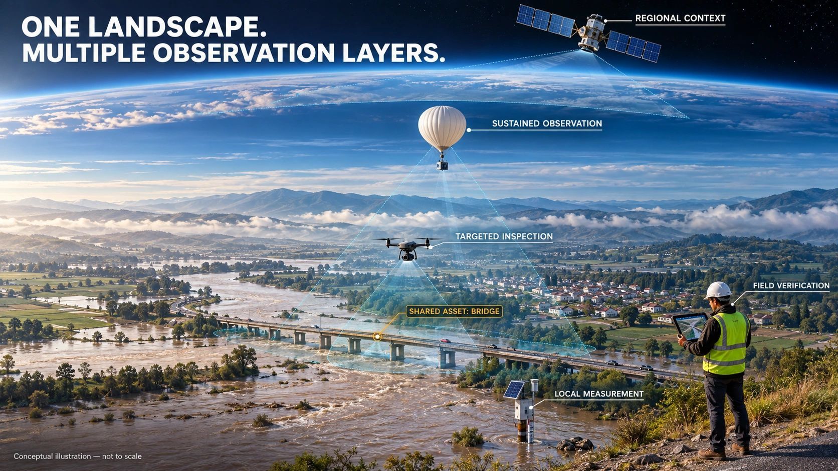
Operational platforms then need to connect the event to assets, dependencies, owners, procedures and work records. This is where GIS, digital twins, IoT, enterprise systems and workflow tools must work together. The purpose is not to create another impressive visual layer. It is to make the alert executable and auditable.
The same principle applies across sectors. A wildfire alert matters when it changes preventive or suppression work. A maritime anomaly matters when it is resolved against vessel identity, operating rules and response authority. An infrastructure movement signal matters when it triggers inspection before failure. A port observation matters when it changes a berth, security or logistics decision.
Faster sensing can create a slower organization
There is also a less obvious risk. As onboard models improve, enterprises may receive more alerts from more sensors at higher frequency. If ownership, prioritization and closure are weak, reduced detection latency can increase the unresolved-event backlog.
A dashboard may then show more intelligence while operations become more congested. Teams spend time reconciling duplicates, requesting context, debating confidence and finding the responsible party. The satellite has removed one delay but exposed every delay that follows it.
This is why response capacity should be designed alongside sensing capacity. Before procuring a faster alert service, an enterprise should measure acknowledgement time, verification time, assignment time, intervention time and closure time. It should also track unresolved events by consequence, not merely count alerts received.
The commercial opportunity moves downstream
For Earth-observation providers, onboard AI creates a path to lower-latency, event-led services. For enterprises, it creates demand for integration, identity resolution, operational workflow and governance. For geospatial and digital-twin platforms, the opportunity is to turn a detected event into an accountable intervention.
This is also where the distinction between detection and decision becomes commercially important. Buyers will not ultimately pay for speed alone. They will pay when speed reduces inspection cost, prevents downtime, limits damage, improves compliance or shortens response time.
The most useful question is therefore not, “How quickly did the satellite detect it?” It is, “How quickly did the organization reach a justified action, and can it prove the outcome?”
A practical readiness test
Before adopting onboard satellite intelligence, an enterprise should test one end-to-end scenario. Choose a real event type and trace it through detection, identity, context, ownership, authorization, intervention and verification. If any step depends on an inbox, an informal phone call or an unowned dashboard, that step is the bottleneck.
AI moving onboard the satellite is a major architectural change. But it does not complete the operational system. It transfers the burden of speed from the sensing layer to the organization receiving the signal.
The winners will not be the enterprises with the most alerts. They will be those that can convert the right alert into a governed action and preserve the evidence from detection to closure.