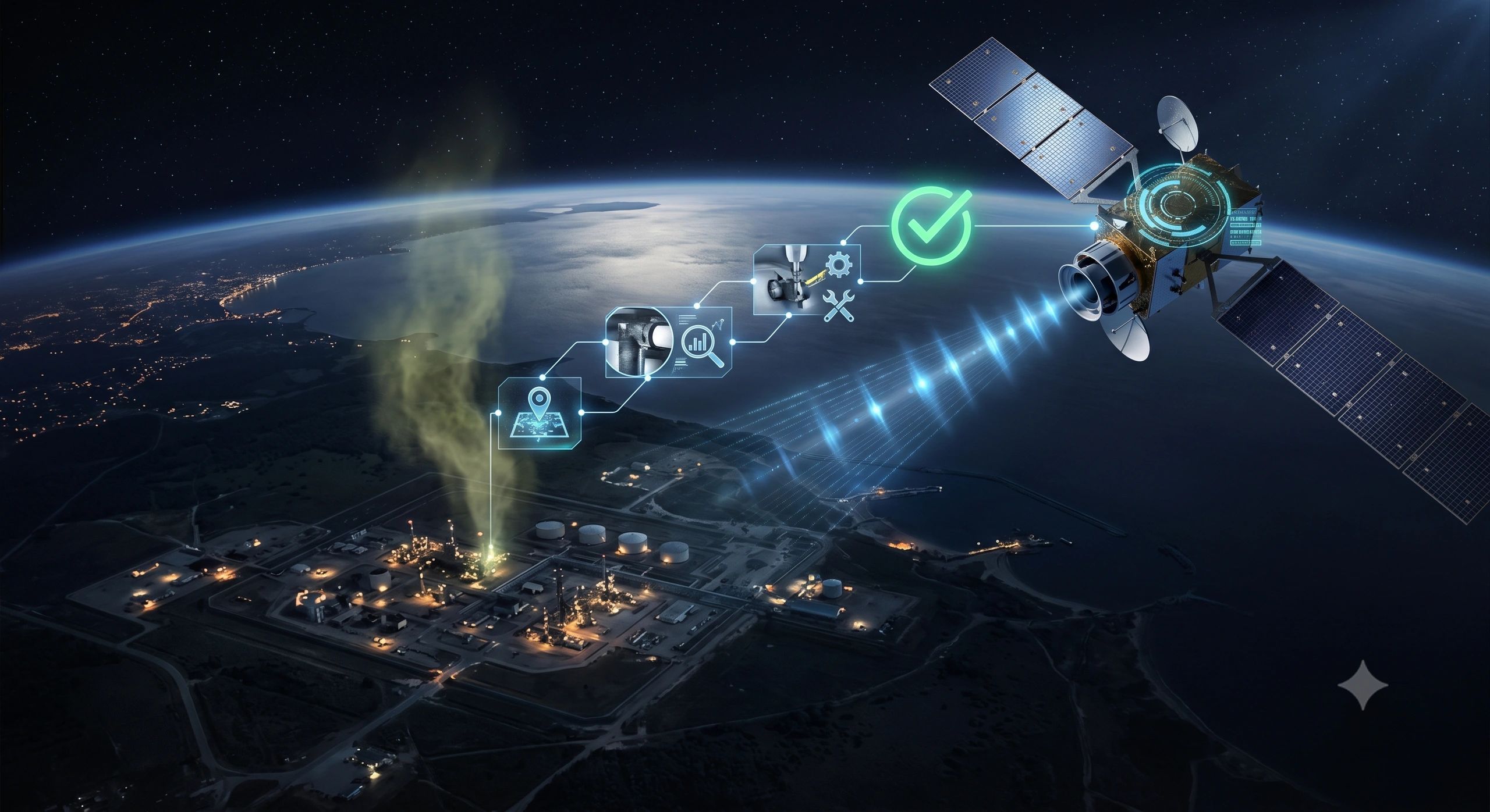
The cost of a remote IoT system is rarely just the cost of sensors.
A mine, pipeline, highway, farm, forest or rural utility may have the right instruments and a useful operational use case, yet still struggle to justify deployment because dependable connectivity is unavailable or expensive. When the network fails, data becomes stale, alarms arrive late and the digital twin stops representing current conditions.
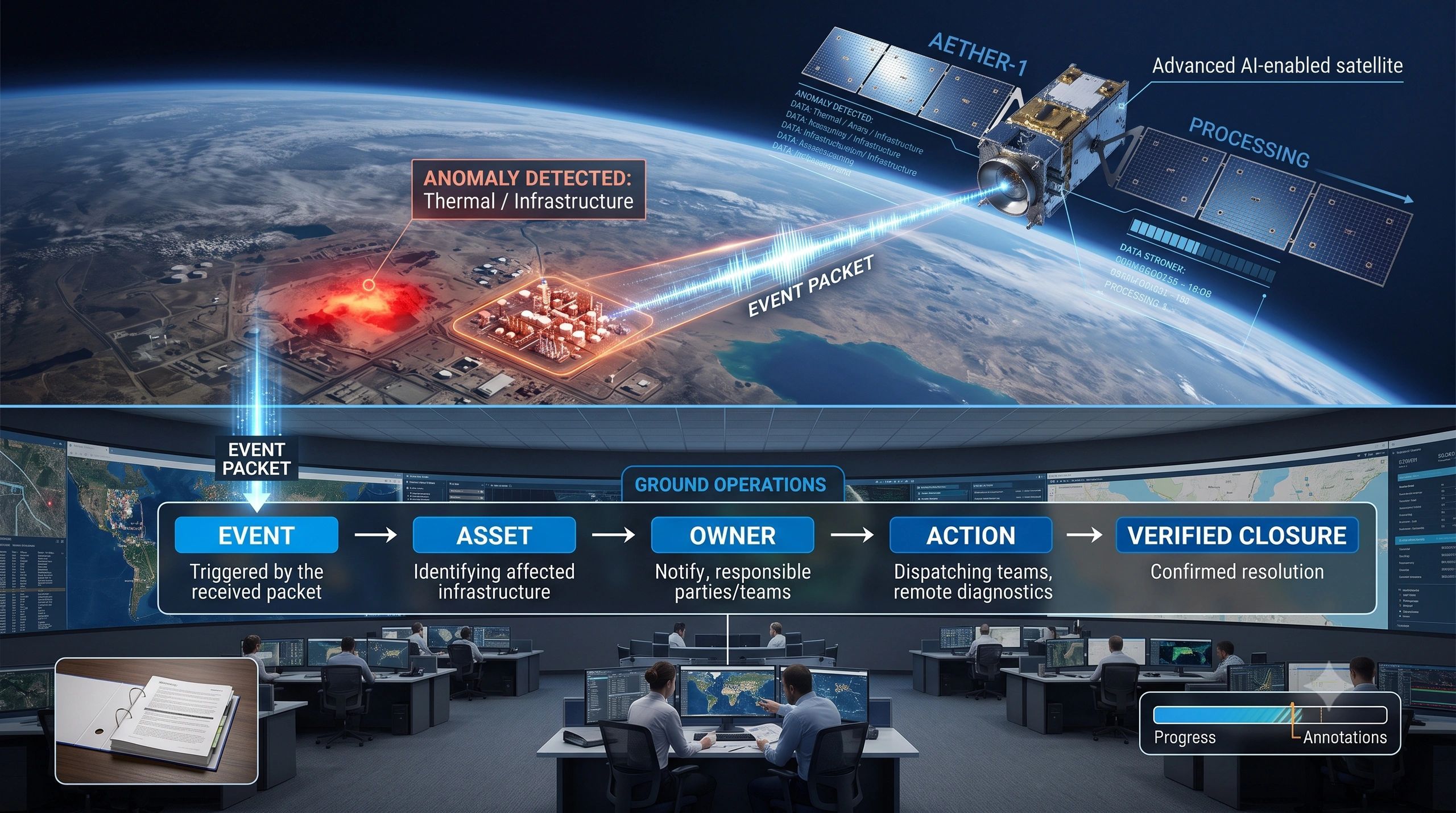
Satellite broadband could change that calculation. India’s Digital Communications Commission has approved a satellite-spectrum pricing framework, moving providers such as STARLINK, Eutelsat OneWeb and Jio Satellite closer to commercial operations. The reported framework sets the spectrum usage charge at 5% of adjusted gross revenue and 4% in notified rural and remote areas, with an initial five-year assignment and a possible two-year extension. Further approvals and security clearances are still required before commercial launch.
The immediate story appears to be about telecom. The larger operational story is about assets that have remained outside reliable digital coverage.
Connectivity has been the hidden constraint
Most IoT and digital-twin diagrams show a clean chain: an asset produces sensor data, a network carries it and a platform turns it into insight. The network is often treated as if it simply exists.
Remote operations do not work that way. Terrain blocks coverage. Towers are distant. Fiber is unavailable. Power is intermittent. A survey team may move in and out of signal. A UAV may capture critical evidence but remain unable to synchronize it with the control room. A pipeline sensor may record an event locally while the response team sees it much later.
This is not merely an inconvenience. It changes the economics of the entire system. A sensor that cannot deliver timely evidence has lower operational value, while the cost of site visits, manual retrieval, local storage, redundant gateways and missed events remains high.
Satellite connectivity creates another route. It may serve as the primary link in locations without terrestrial coverage or as a fallback when mobile or fiber networks degrade. That does not automatically make every remote IoT project viable, but it can shift the boundary between assets that are economical to monitor continuously and assets that must still rely on periodic inspection.
The business case is bigger than coverage
A high-frequency video stream, a daily equipment-health summary and an emergency pressure alarm have very different requirements. Some data can be compressed or analyzed at the edge. Some can wait for a scheduled synchronization window. A small set of critical events may justify immediate transmission. Store-and-forward can preserve evidence when both terrestrial and satellite links are unavailable.
This creates a more disciplined economic model. Instead of asking whether satellite bandwidth is cheap, an operator can ask whether the cost of transporting a particular piece of data is lower than the cost of delay, uncertainty or physical inspection.
That distinction matters across sectors. A mine may prioritize safety exceptions, a farm may transmit irrigation alerts rather than every raw reading, and a disaster team may use a temporary satellite link when terrestrial networks are damaged.
Connectivity must become part of the operational model
Satellite broadband will add value only if platforms stop treating connectivity as a background assumption. It should become a first-class operational dependency linked to each asset, sensor, workflow and decision.
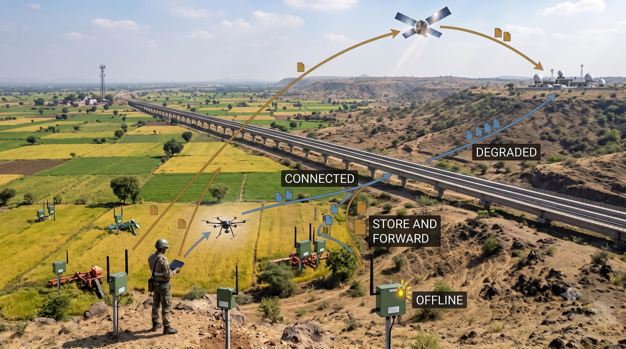
A useful remote-operations platform should show more than whether a device is online. It should represent at least four working states:
Connectivity states
CONNECTED: current evidence is reaching the platform within the expected time window.
DEGRADED: data is arriving, but latency, bandwidth or packet loss is affecting the service.
STORE AND FORWARD: evidence is being retained locally and will synchronize when a link becomes available.
OFFLINE: the system cannot currently transmit, and the operator must understand which functions are unavailable.
These states should be tied to consequences. If an inspection team becomes offline, can it still complete a mission safely? If a sensor shifts to store-and-forward, which alarms can no longer support real-time intervention? If the satellite fallback activates, which data streams are reduced to protect bandwidth? How old can the latest observation become before a decision is no longer trustworthy?
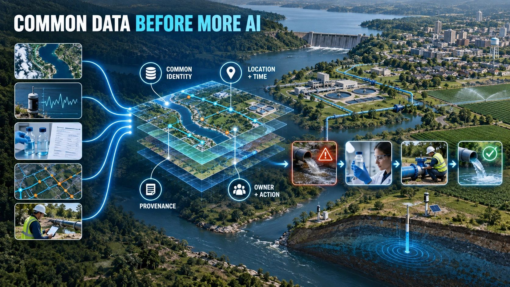
A map showing device locations is not enough. The spatial operating layer should show the asset, the available network path, the freshness of its evidence, the operational functions that depend on it and the response required when connectivity changes.
A practical deployment model
Remote IoT projects can be designed through five linked decisions.
First, classify the operational outcome. Is the system supporting safety, regulatory evidence, maintenance, production optimization or workforce coordination? The cost of delayed data depends on the outcome.
Second, classify the data. Separate urgent events, routine telemetry, imagery, video and bulk survey files. Each category needs its own latency, bandwidth and retention policy.
Third, design the network path. Define the primary terrestrial network, the satellite fallback, the switching rule and what happens when neither is available.
Fourth, build for degraded operation. Edge processing, local caching, offline workflows and later synchronization should be planned from the beginning, not added after field failure.
Fifth, measure operational value. Compare the full connectivity and platform cost with avoided site visits, faster incident response, improved uptime, better evidence and reduced exposure of personnel.
This framework turns satellite broadband from a coverage feature into part of the business architecture.
Where spatial intelligence fits
Remote operations are inherently spatial. The question is not only whether a device is connected, but which asset, corridor, work zone, risk area or community depends on that connection.
A spatial platform can connect a field observation to the exact road segment, pipeline section, mine zone, forest compartment or farm block it describes. It can then connect that location to asset criticality, responsible teams, geofences, access routes, work orders and verification evidence.
Consider an infrastructure inspection team operating in an area with weak mobile coverage. The workflow can link the mission area, team location, UAV capture, satellite availability, evidence synchronization, control-room review and incident escalation. If the link degrades, the system should preserve the field record and make the resulting decision limitation visible.
This is also where digital twins become more operational. A twin that assumes continuous data can look current while silently relying on stale evidence. A trustworthy twin should reveal the condition of its data supply chain and lower confidence when the connection, sensor or synchronization process is impaired.
The opportunity for India
India has a wide range of remote and distributed assets where conventional connectivity has constrained the case for continuous monitoring. Commercial satellite broadband could open new models for remote infrastructure monitoring, mobile workforce coordination, environmental observation and resilient field operations.
The opportunity is not to place satellite links everywhere. It is to identify where connectivity changes the cost of obtaining timely evidence enough to unlock a valuable decision or reduce a material risk.
Satellite broadband could therefore change more than coverage maps. It could change which assets are worth sensing, which operations can be supervised remotely and which digital-twin use cases finally become practical.
But the commercial value will depend on one test: when the network becomes available, does the operation make a better decision or merely collect more data?