A satellite can detect a plume. Compliance depends on what happens after the alert.
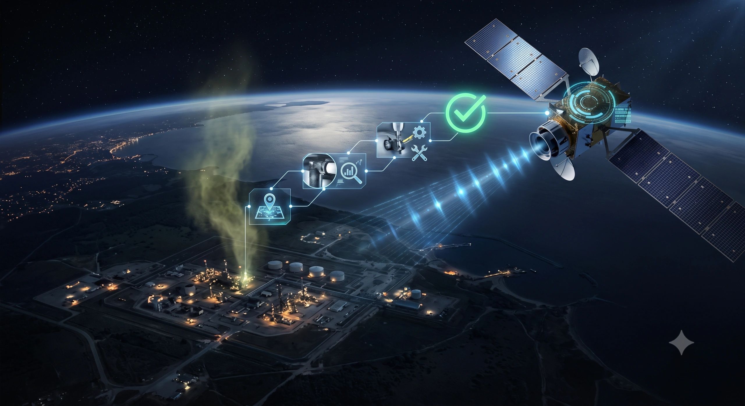
A satellite identifies a large methane plume above an industrial site.
The location is mapped. The estimated emission is significant. The operator is notified.
What happens next?
Does the alert automatically establish a regulatory violation? Must the operator inspect the facility immediately? Who determines whether the plume came from that specific asset? What evidence proves that the leak was repaired?
Methane monitoring is advancing faster than the operational systems needed to act on its findings.
This is becoming a business and governance issue not simply an Earth observation challenge.
Satellite monitoring is entering the regulatory system
The EU Methane Regulation marks an important shift.
It requires the European Commission to establish a global methane-monitoring tool using satellite data and certified data providers. It also introduces methane-performance profiles for countries, producers and importers, alongside public information about large methane-emitting events.
UNEP’s Methane Alert and Response System already combines observations from more than 30 satellite instruments with scientific analysis and AI to identify major methane releases and notify governments and companies.
Satellite observation is therefore moving beyond supplementary environmental intelligence.
It is becoming part of the regulatory infrastructure surrounding energy production and trade.
This matters to oil and gas producers, LNG exporters, importers, regulators, lenders, insurers and communities. An independently detected plume can create compliance, commercial and reputational consequences even before its cause has been fully investigated.
But observation alone does not settle responsibility.
Detection is not attribution
A methane alert usually represents evidence that an emission may have occurred within a particular area and time.
It does not automatically prove:
- which equipment released the methane;
- which operator controlled the source;
- whether the release was continuous or temporary;
- whether it was planned, accidental or incorrectly attributed;
- whether reported operational data supports the satellite observation;
- whether atmospheric or measurement conditions affected the estimate.
This distinction is essential.
If every satellite alert is treated as a confirmed violation, operators may face decisions based on incomplete attribution. If alerts are treated merely as interesting images, genuine leaks may remain unresolved.
The correct response sits between these extremes: every credible alert should initiate a governed investigation.
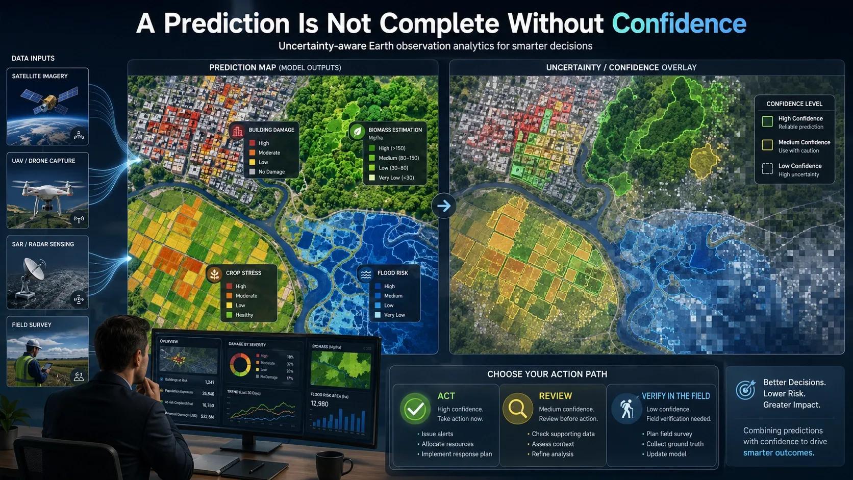
Confidence must change the next step. It should determine whether the organization acts immediately, conducts a targeted review or collects additional evidence.
The real challenge is reconciliation
Methane MRV systems must increasingly reconcile three evidence classes:
- Company-reported emissions
- Ground or equipment-level measurements
- Independent satellite observations
These sources may not agree.
An operator’s inventory might show no abnormal event while a satellite detects a plume. A ground inspection may confirm elevated methane but identify a different source. A repair record may show that equipment was serviced, while a later observation suggests emissions continued.
The discrepancy is not a system failure. It is the point at which the operational workflow becomes valuable.
A decision-ready process should move through a defined chain:
Alert → attribution → investigation → intervention → verification
Alert
The observation should retain its source, acquisition time, spatial extent, detection method, confidence and relevant limitations.
Attribution
The plume must be connected to potential facilities, equipment inventories, ownership records and operating conditions. Where several sources are plausible, the system should preserve that uncertainty.
Investigation
The responsible operator or authority should review operational logs, maintenance events, fixed-sensor readings, mobile surveys and other available evidence.
Intervention
If the source is confirmed, the workflow should assign the inspection, shutdown, repair or mitigation action to an accountable party with a deadline.
Verification
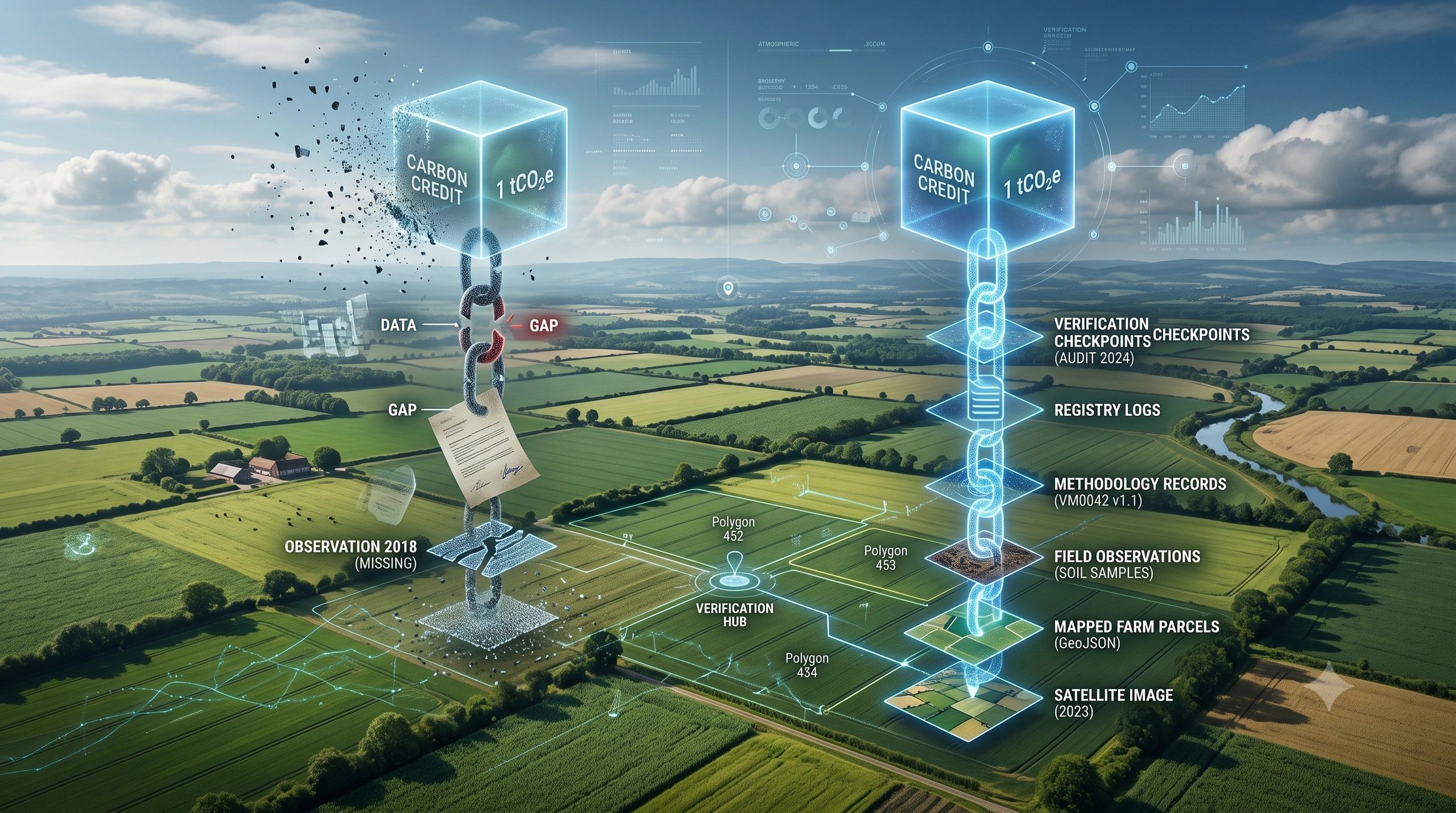
Completion of a work order is not proof that the emission stopped. Verification may require repeat ground measurement, mobile monitoring or a later independent satellite observation.
This final step turns a maintenance record into mitigation evidence.
Ownership cannot begin and end with the operator
Responsibility is distributed across the methane-response chain.
The satellite-data provider owns the integrity and limitations of the observation. The platform operating the alert service owns reliable processing and notification. The regulator defines the evidentiary threshold and required response. The operator investigates the source and performs corrective action. Independent assurance providers may validate the evidence and closure claim.
An importer or buyer may also need to determine whether unresolved events affect a supplier’s methane-performance profile or contractual obligations.
When these responsibilities are not explicit, alerts can become stranded between systems. One organization detects the event, another receives the notification, a third operates the facility, and nobody owns closure.
A useful methane system must therefore represent more than the plume. It must represent the chain of authority surrounding the plume.
From methane heat map to emissions-reconciliation workflow
Many methane platforms currently emphasize where emissions appear to be occurring. That visual layer is useful, but it is only the beginning.
A more operational architecture would connect:
Satellite alert → facility and operator → reported emissions → equipment and source inventory → ground investigation → discrepancy assessment → assigned corrective action → repair evidence → repeat observation → verified closure
Geospatial intelligence provides the connecting context.
It can relate the observation to facility boundaries, pipelines, wells, processing units, ownership, nearby assets and regulatory jurisdictions. IoT data can add equipment-level evidence. Maintenance systems can record action. A digital-twin layer can preserve the state of the facility when the event occurred.
Together, these components can create an evidence trail that supports both operational response and regulatory review.
The opportunity is not another methane dashboard. It is an observation-to-compliance workflow.
The architecture extends beyond methane
The EU regulation also recognizes measurements from mobile platforms, including vehicles, drones, aircraft, boats and satellites, alongside fixed sensor networks.
That signals a wider transition.
Regulation is beginning to consume geospatial observations more directly:
Required observation → approved measurement source → spatial event → regulated asset → compliance decision
The same pattern can apply to deforestation, illegal land-use change, industrial emissions, mining rehabilitation, water abstraction, wetland protection and infrastructure encroachment.
The environmental subject changes. The core governance questions remain:
- Where and when was the event observed?
- How reliable is the evidence?
- Which asset or obligation does it affect?
- Who is authorized to decide?
- What action was required?
- What proves that the issue was resolved?
This suggests the need for reusable observation-to-compliance infrastructure rather than a separate, disconnected system for every regulation.
The value lies after detection
Methane detection will continue to improve. More satellites, better revisit times and stronger analytics will make large emissions increasingly difficult to hide.
But better detection will also create more alerts, more discrepancies and more demands for response.
The defensible value will not come from displaying every plume. It will come from ensuring that each material observation reaches the correct asset, accountable organization and verification process.
A methane alert becomes operationally meaningful only when someone owns the next action and the system preserves evidence that the action worked.