Water systems do not suffer from a lack of data.
Utilities, irrigation departments, environmental agencies, municipalities, industries and research institutions already collect large volumes of information.
They record reservoir levels, groundwater conditions, rainfall, river flows, water quality, network pressure, consumption, wastewater discharge and irrigation demand.
Yet when a drought, contamination event, leakage problem or supply disruption occurs, decision-makers often struggle to assemble a reliable operational picture.
The problem is not simply insufficient intelligence.
The underlying data frequently does not describe water assets, locations, observations and incidents in a consistent way.
Adding more AI to that fragmented environment may produce faster analysis. It does not necessarily produce a more trustworthy decision.
The real bottleneck appears before the algorithm
India’s recent emphasis on stronger water-data governance, uniform formats and anticipatory planning points toward an important shift.
Water management is moving from periodically reporting conditions toward continuously supporting decisions.
That requires more than collecting additional measurements.
Consider a water source represented differently across several systems:
- one department identifies it by an asset code;
- another uses a local name;
- a sensor platform references its coordinates;
- a laboratory report uses a sample-location number;
- a satellite analysis represents it as a polygon;
- a maintenance team describes it through a work-order location.
Each record may be correct on its own.
But unless these records can be connected to the same real-world entity, the system cannot reliably determine whether they describe one source, several connected assets or unrelated observations.
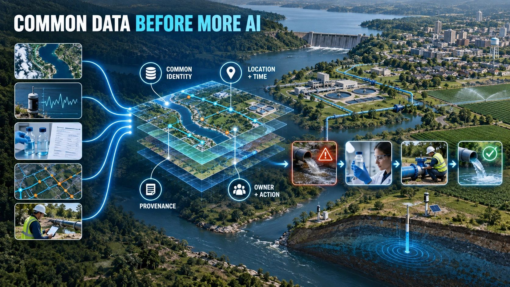
This is why common data must come before more AI.
Common data does not mean placing everything in one database. It means ensuring that different systems can agree on identity, location, time, meaning, provenance and responsibility.
A water map is not yet water intelligence
GIS already plays an important role in water management. It can show sources, reservoirs, treatment plants, pipelines, service areas, watersheds and monitoring stations.
But visualizing these assets is only the beginning.
Operational intelligence must connect the physical water system with the evidence and workflows surrounding it.
A useful structure could follow the water-service chain:
Source → storage → treatment → network → service area → demand → quality evidence → incident → intervention
Every stage needs a persistent identity and a defined relationship with the stages around it.
If water quality deteriorates at a monitoring point, the system should help determine:
- which source or network section the observation relates to;
- when the sample was taken;
- which laboratory or sensor produced the result;
- what confidence or validation status applies;
- which communities or facilities may be affected;
- who owns the next action;
- whether an intervention was completed;
- whether later observations confirm recovery.
Without those connections, an AI model may identify an anomaly without establishing what the organization should do about it.
Five foundations for decision-ready water data
Before expanding AI use, water organizations need to establish five connected foundations.
1. Common identity
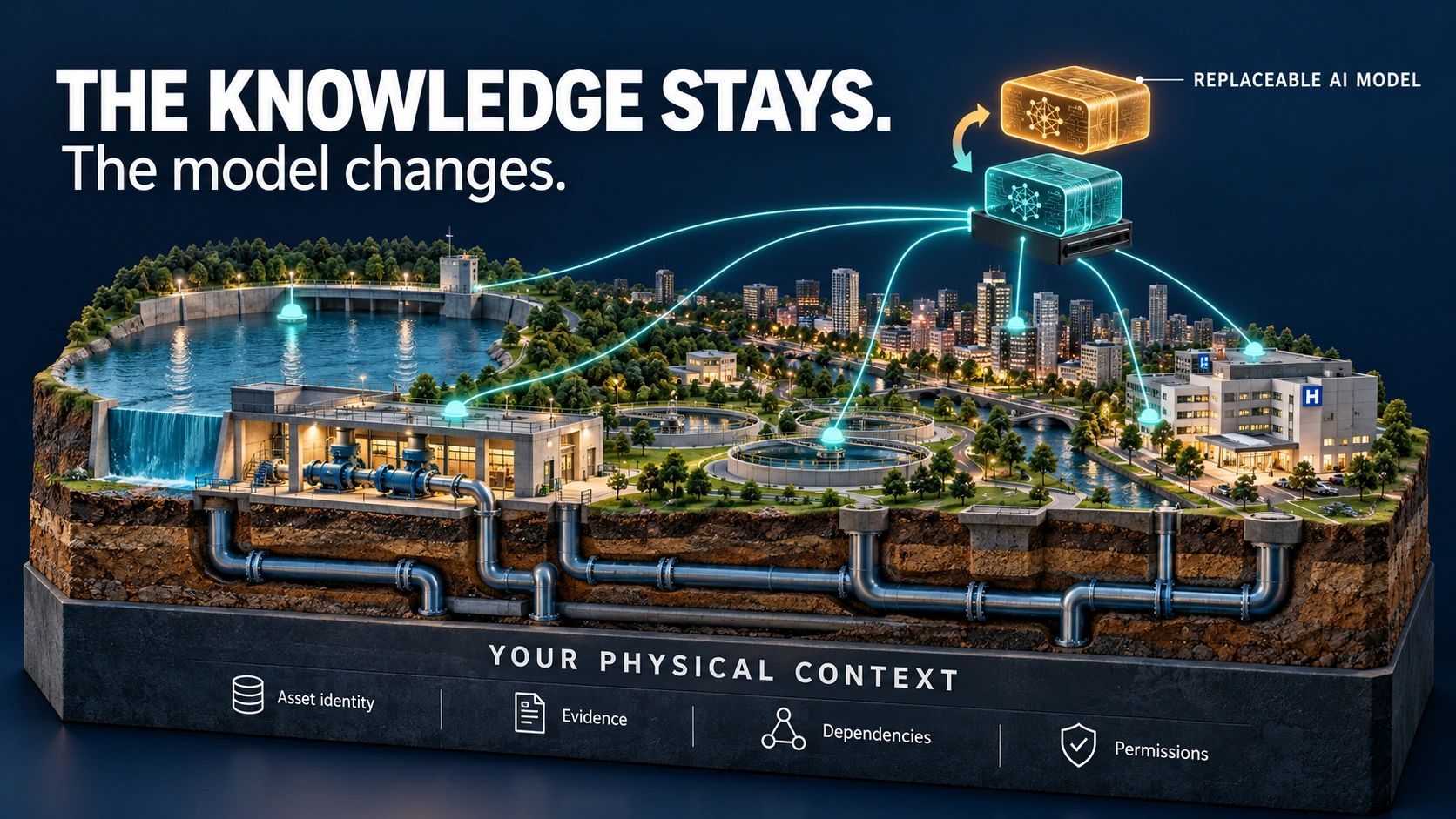
Sources, reservoirs, pumps, treatment assets, pipelines, valves, sensors, administrative areas and service zones need stable identifiers.
Names and coordinates alone are not enough. Names change, spellings vary and multiple assets can occupy the same facility.
A persistent identity allows observations, documents, models, maintenance records and incidents to remain connected over time.
2. Common spatial reference
Water behaves across boundaries that do not always match administrative jurisdictions.
A watershed, aquifer, pipeline network, drainage system and municipal service area may overlap without sharing the same geography.
The data architecture must preserve these relationships. Otherwise, a technically accurate observation may be assigned to the wrong operational area or responsible authority.
3. Common time context
A rainfall estimate, reservoir reading, laboratory result and demand forecast can only be compared meaningfully when their timestamps and validity periods are clear.
The system must distinguish:
- when something was observed;
- when the information became available;
- how long it remained valid;
- whether it represents current conditions or historical evidence.
This becomes critical when AI combines sensor streams, satellite observations, field reports and predictive models.
4. Common provenance and confidence
Not all water evidence has the same authority.
A calibrated sensor, laboratory result, field observation, satellite-derived estimate and modelled forecast may all contribute to the same decision, but they should not be treated as interchangeable.
Every data item should retain its source, method, precision, validation status and known limitations.
AI should work with this evidence structure rather than flattening everything into a single apparently certain answer.
5. Common operational ownership
An alert without ownership is only information.
If a system detects a likely leak, declining reservoir condition or water-quality risk, it must connect the finding to a responsible team, response rule and closure process.
The full lifecycle should be visible:
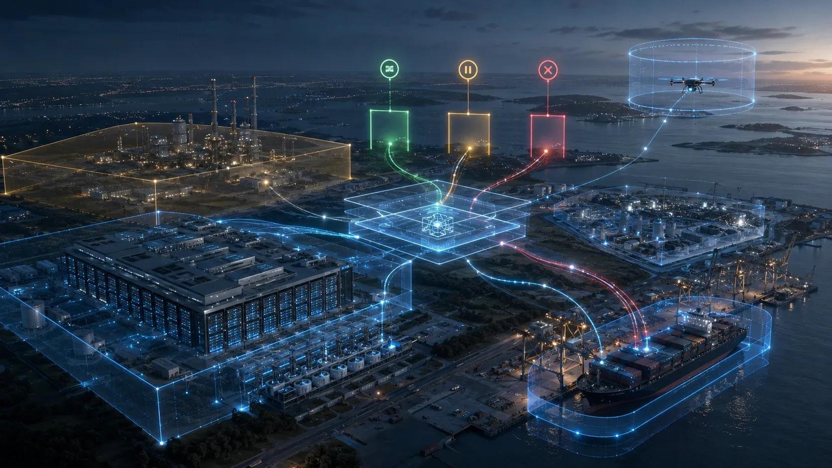
Detected → validated → prioritized → assigned → acted upon → re-observed → closed
This is where water intelligence becomes operational rather than analytical.
What AI can do once the foundation is reliable
With a shared data layer in place, AI can support valuable applications.
It can help prioritize likely leakage zones by combining pressure, flow, asset condition and maintenance history.
It can identify source risks using rainfall, groundwater, reservoir, land-use and demand information.
It can detect unusual water-quality patterns and determine which connected service areas require investigation.
It can assist drought planning by comparing available supply, forecast demand and alternative operating scenarios.
It can also evaluate whether an intervention worked by comparing conditions before and after action.
But each use case depends on the same underlying capability: the system must know which real-world entity the evidence concerns, where it applies, when it was valid and who has authority to respond.
Otherwise, AI increases the number of findings without improving the rate of resolution.
Start with one operational decision
A national or statewide common water-data architecture is a long-term undertaking. Individual organizations do not need to wait for the entire ecosystem to become standardized.
They can begin with one high-value decision.
For example:
- Which leakage investigation should be prioritized today?
- Which source is moving toward a critical supply condition?
- Which water-quality alert requires field verification?
- Which service areas will be affected by a network failure?
- Did a completed intervention restore the expected condition?
The organization can then identify the minimum data relationships needed to support that decision.
This creates a practical path:
Define the decision → identify the required entities → connect the evidence → establish responsibility → measure the result
It is more useful than starting with a large data lake and hoping that operational value will emerge later.
The opportunity for water operations twins
A water operations twin should not be presented merely as a detailed digital replica of the network.
Its real value is maintaining the current relationship between assets, environmental conditions, demand, evidence, incidents and interventions.
Engineering models can explain hydraulic behavior. Sensors can report local conditions. Earth observation can provide regional context. Field teams can verify what is happening on the ground.
The operational twin should connect those sources without erasing their differences.
For platforms such as our NeuSpatial, the opportunity is not to replace water-domain engineering systems. It is to provide the geospatial identity, evidence traceability and cross-asset workflow that helps those systems contribute to a shared operational picture.
Specialist water consultants, utilities and system integrators can continue to provide the domain models. The common spatial layer can preserve how their outputs relate to assets, locations and decisions.
More intelligence should mean fewer unresolved problems
The water sector will continue to adopt AI. That is both likely and useful.
But the quality of water intelligence will not be determined only by model accuracy.
It will depend on whether organizations can connect fragmented evidence, recognize the same real-world entities, preserve uncertainty and move findings into accountable action.
The next meaningful advance may therefore look less like a new prediction model and more like a common operational language for water.
Because the real measure of intelligence is not how many alerts a system produces.
It is how many water problems the organization can understand, assign, act upon and verify as resolved.