A construction model can be geometrically accurate and still be unsafe for a machine to follow.
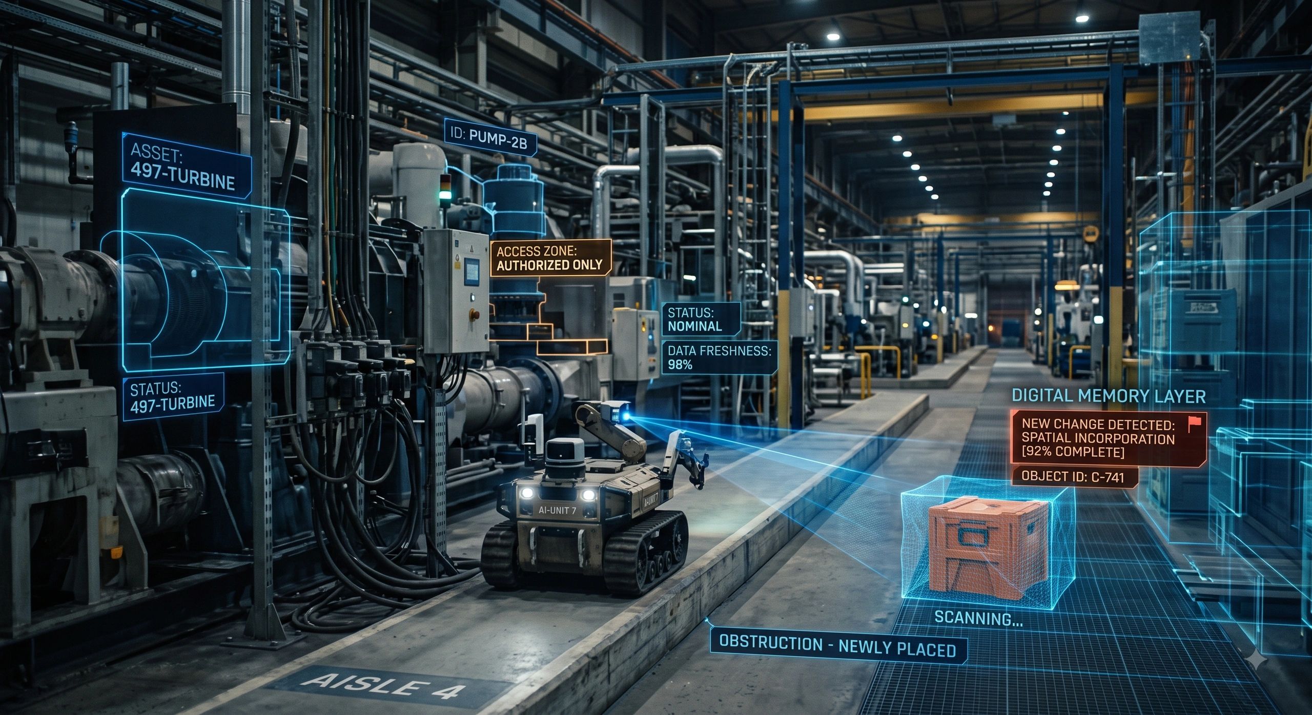
The terrain may have changed. Materials may have been moved. A temporary barrier may now block the planned route. Another machine may be operating inside the intended work zone.
For a human operator, these changes can sometimes be noticed and interpreted. For autonomous equipment, the consequences are different.
Physical AI does not act on geometry alone. It acts on its understanding of the current physical environment.
That changes what makes spatial information valuable.
The best model may not represent the present site
The geospatial and AEC sectors have spent years improving geometric accuracy.
We have created more detailed BIM models, denser point clouds, higher-resolution imagery and more realistic digital twins. These advances remain important.
But Physical AI introduces another requirement: temporal validity.
A model may describe a site accurately as it existed yesterday, last week or when the original survey was completed. That does not mean it represents the conditions under which a machine must operate now.
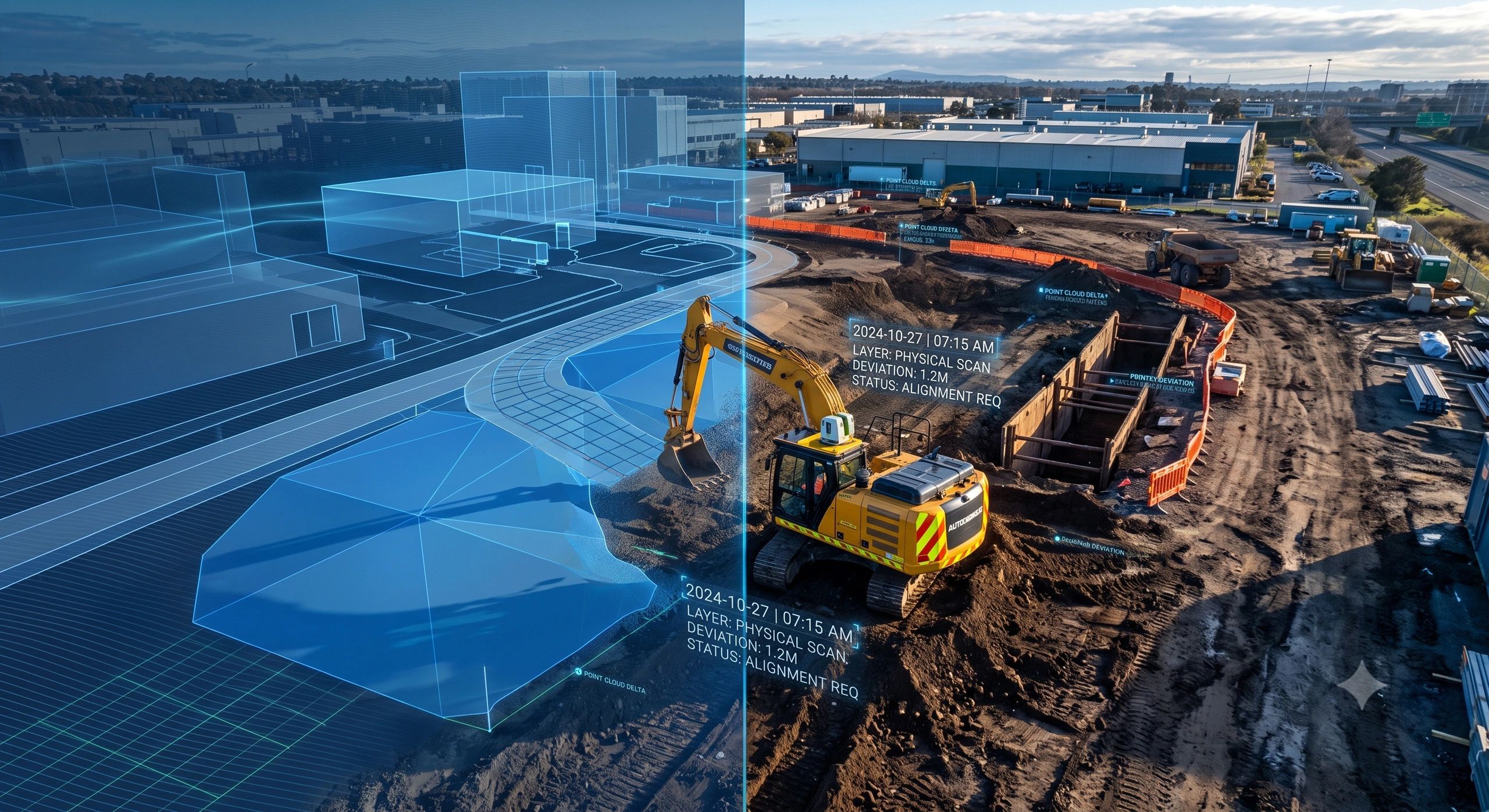
Consider an autonomous excavator preparing to execute a grading task.
Its planning system may contain:
- the approved design surface;
- accurate site coordinates;
- machine paths and work limits;
- underground utility information;
- allowable construction tolerances.
But since the last site update:
- soil may have been deposited inside the work area;
- a trench may have been opened;
- temporary works may have been installed;
- survey control may have shifted or become unreliable;
- another contractor may have occupied part of the site;
- rain may have altered the terrain or ground conditions.
The historical model has not necessarily become geometrically wrong. It has become operationally incomplete.
For Physical AI, that distinction matters.
Spatial truth is becoming time-dependent
When humans read a drawing, they often supplement it with observation, judgement and conversation.
They look at the site. They speak to the supervisor. They notice that the planned access route is blocked. They understand that a particular drawing has been superseded even if the information system has not been updated.
Autonomous systems cannot depend on this informal layer of interpretation.
They need spatial information that answers five immediate questions:
- What exists here now?
- What has changed since the last verified observation?
- Which version of the design or operating plan is valid?
- What action is permitted under current conditions?
- How will the result be verified?
This means the spatial model supporting Physical AI cannot remain a static representation.
It must become a governed operational record.
From a perfect twin to a current operating picture
The term “digital twin” often brings to mind a detailed 3D model continuously connected to physical assets.
For autonomous operations, the priority may be slightly different.
A machine does not always need the most visually complete representation of the site. It needs the minimum reliable context required to make or execute a safe decision.
That context includes several forms of truth:
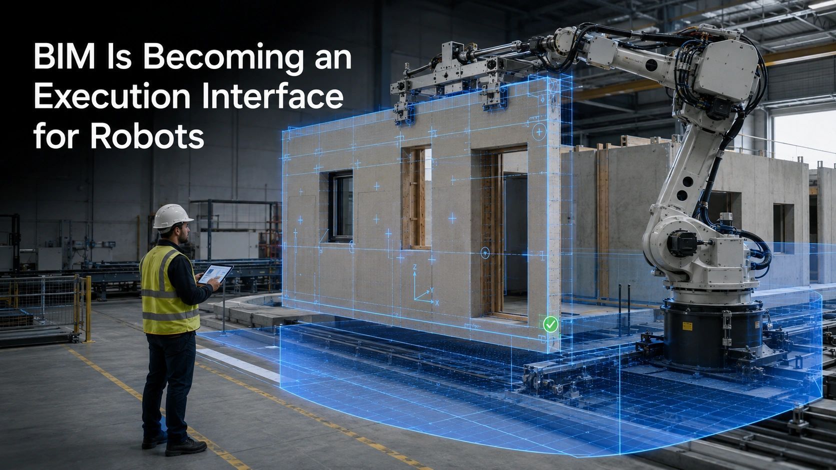
Design truth: What is supposed to be built, removed, inspected or maintained?
Observed truth: What do the latest survey, sensor, camera, LiDAR, UAV or field records show?
Operational truth: Which routes, work zones, assets and activities are currently active?
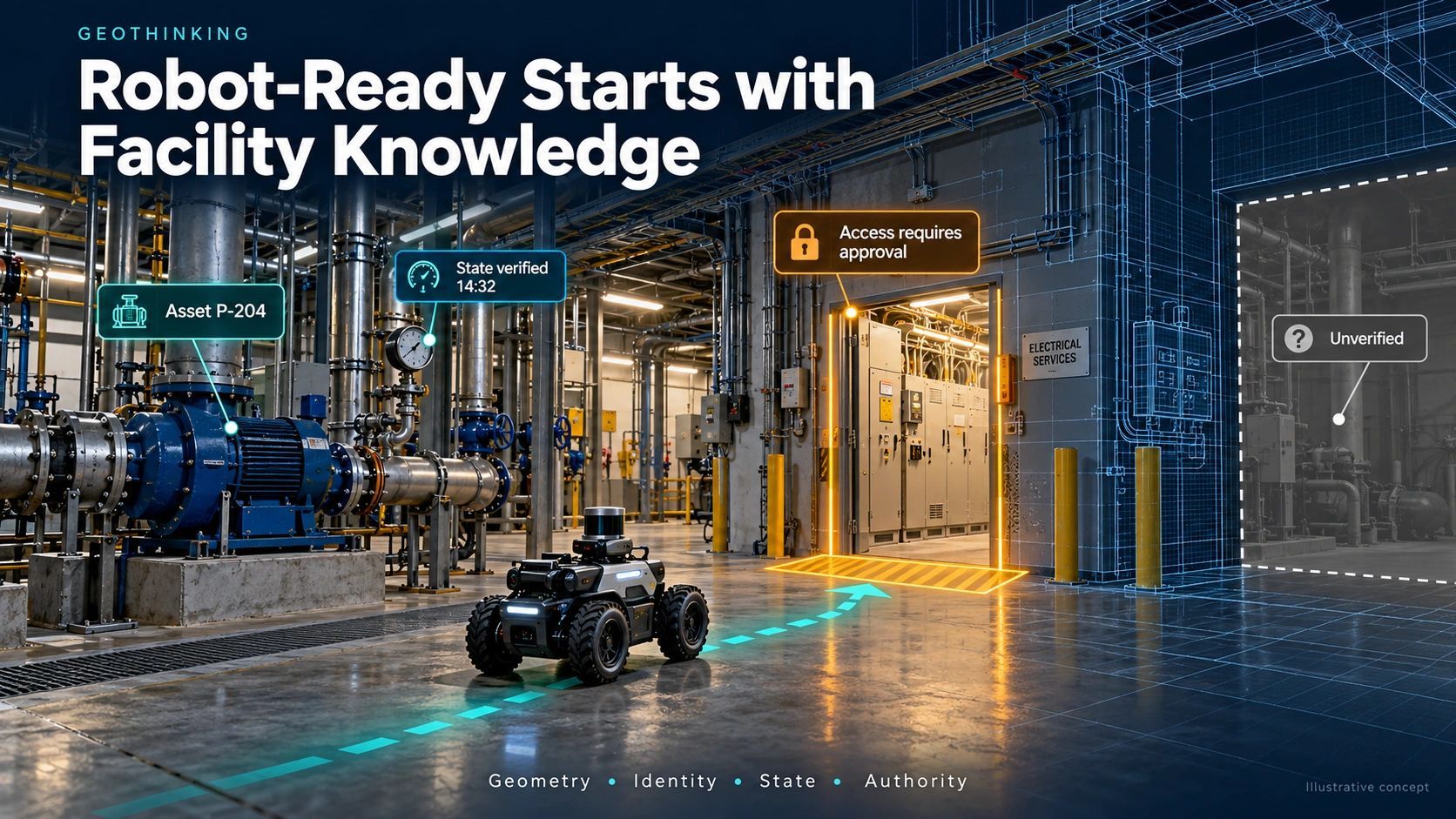
Authority truth: Who approved the task, which rules apply and under what conditions may the machine proceed?
Execution truth: What did the machine actually do, and was the result within tolerance?
These truths may come from different systems. BIM may carry design intent. GIS may manage location, networks and operating boundaries. Reality capture may show current conditions. IoT may provide equipment and environmental status. Work-management systems may hold approvals and responsibilities.
The challenge is not forcing everything into one model.
It is maintaining a reliable relationship between them.
Freshness must be linked to the decision
Not all spatial information needs to be updated at the same frequency.
A permanent building grid may remain valid for years. A temporary vehicle route may change several times in one day. Excavation geometry may require verification before every major machine task.
This means freshness should not be treated as a universal update interval.
It should be derived from:
- how quickly the physical condition can change;
- the consequence of acting on stale information;
- the tolerance of the planned task;
- the quality and provenance of the latest observation;
- the availability of human review or override.
A low-risk inspection robot may proceed using an older base map while avoiding newly detected obstacles.
An autonomous excavator working near a live utility may require a recent verified capture, confirmed coordinate integrity and explicit task authorization before movement begins.
The higher the consequence, the stronger the evidence requirement.
A practical spatial chain for Physical AI
A useful architecture can be expressed as a controlled sequence:
Design intent → current spatial reality → permitted action → machine execution → observed result → tolerance check → acceptance or rework → updated operational record
Every transition needs governance.
The system should know:
- which observation supports the current site state;
- when and how that observation was captured;
- which coordinate reference and control network were used;
- what uncertainty remains;
- which design revision governs the task;
- who or what authorized execution;
- whether site conditions stayed within the permitted envelope;
- what evidence confirms the completed result.
Without this chain, automation risks increasing the speed at which outdated assumptions become physical errors.
The spatial layer between planning and machine action
Recent investment in construction robotics signals that autonomous and semi-autonomous equipment is moving closer to real project environments.
This creates an opportunity beyond robot manufacturing.
Construction companies, surveyors, BIM specialists, geospatial firms and platform providers can help create autonomy-ready sites.
An autonomy-ready site would not simply possess a BIM model or recent point cloud. It would maintain:
- consistent spatial and asset identities;
- verified coordinate integrity;
- current terrain and obstacle information;
- machine-readable work and exclusion zones;
- task sequencing and operating constraints;
- observation timestamps and provenance;
- human override and escalation rules;
- evidence of execution and outcome.
This is where BIM, GIS, surveying, reality capture and operational workflows begin to converge.
The commercial value will not come only from producing more detailed geometry. It will come from reducing uncertainty between planned action and physical execution.
Current does not mean unquestionably correct
Fresh data can still be unreliable.
A recent observation may contain sensor drift, poor registration, incomplete coverage or an incorrect reference frame. A live feed may create an impression of currency without proving validity.
Current spatial truth therefore requires more than a timestamp.
Each critical observation should carry:
- source;
- capture time;
- location or reference frame;
- verification status;
- expected accuracy;
- uncertainty;
- responsible owner;
- revalidation trigger.
Physical AI needs both freshness and trust.
When either is insufficient, the system should reduce machine authority, request another observation or escalate the decision to a human.
“Unknown” must be treated as an operational state, not as missing metadata that can be ignored.
The most valuable model will support the next safe action
Perfect historical geometry will remain valuable for design records, disputes, asset documentation and long-term analysis.
But Physical AI changes the priority during operations.
The decisive question will not be:
“How accurate was the model when it was created?”
It will be:
“Is the available spatial evidence current, valid and sufficient for the action being considered now?”
That shifts digital twins from representations of assets toward governed interfaces between intent and action.
The winning spatial platforms may not be those that preserve the most impressive model.
They may be those that can continuously establish what is true enough, current enough and authorized enough for a machine to proceed safely.