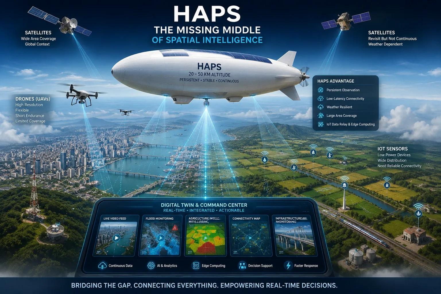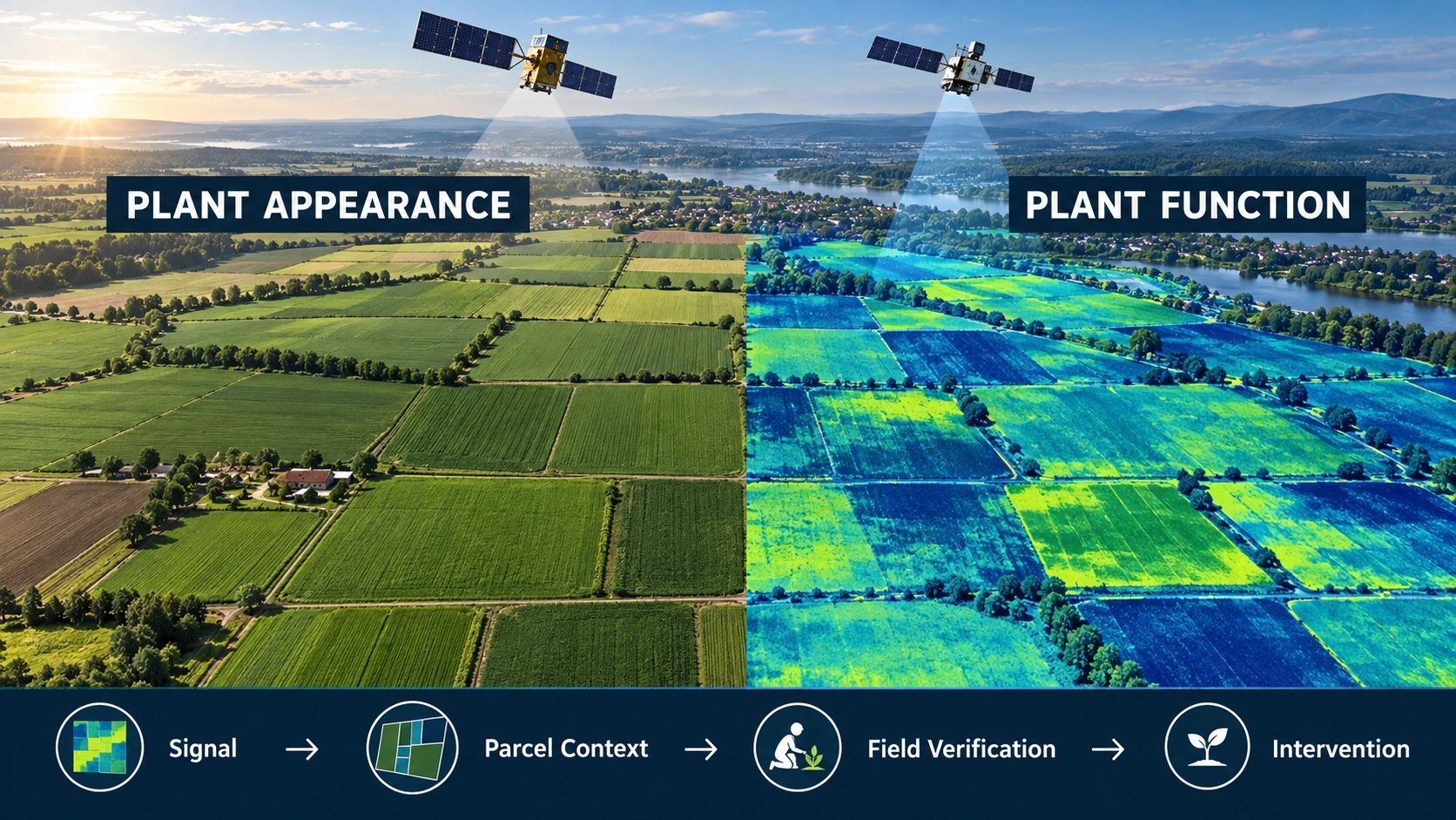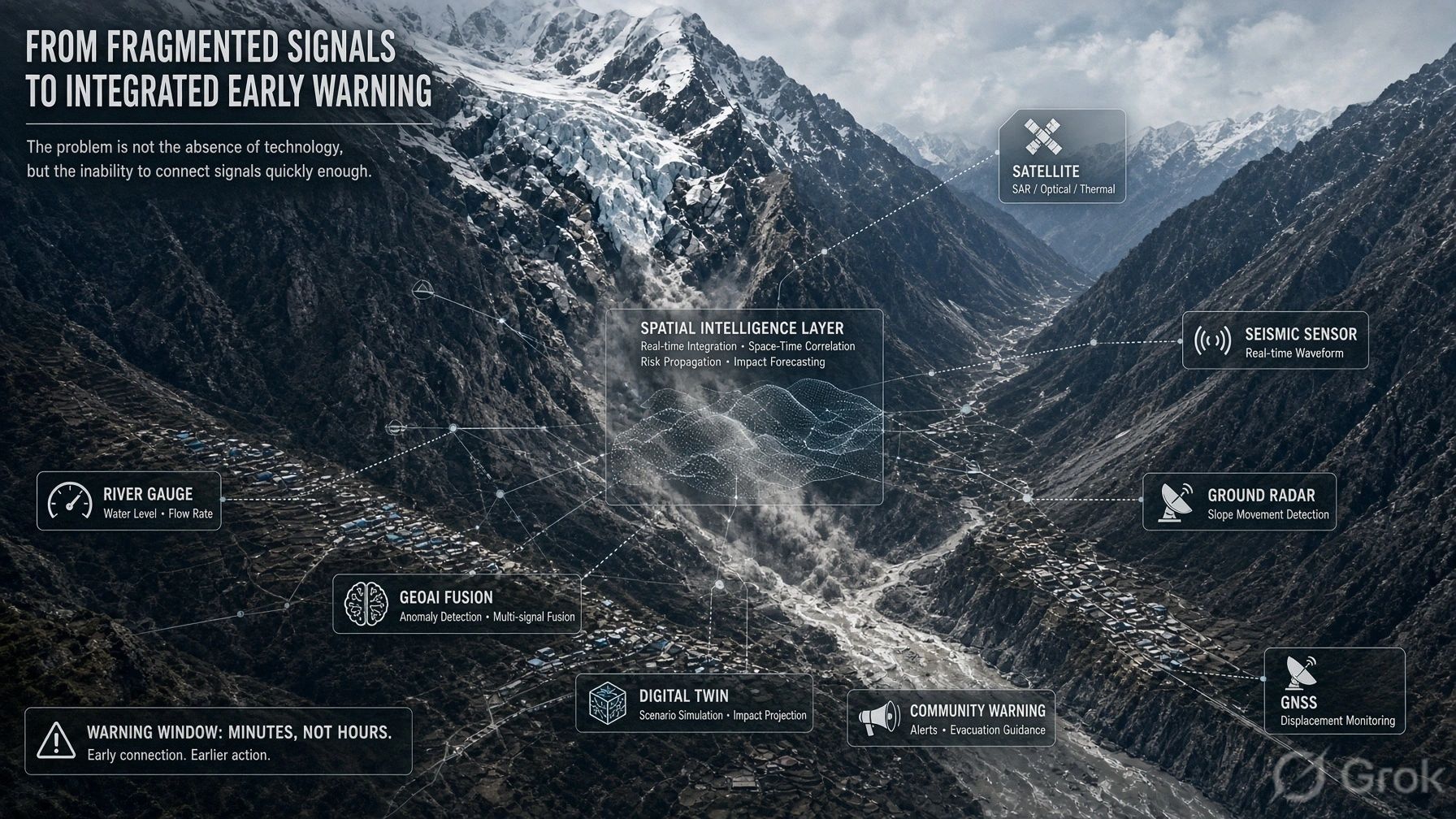
More frequent observation sounds like an obvious upgrade for Earth observation.
India’s EOS-05 milestone points toward a future in which a location can be watched with far greater continuity, rather than observed and revisited after a gap. Add SAR, drones, field photos, IoT gauges, vehicle telemetry and public reports, and we will soon have a much richer picture of what is happening on the ground.
But we will also have a harder operational problem:
How do we know which observations describe the same real-world event?
Consider a flood.
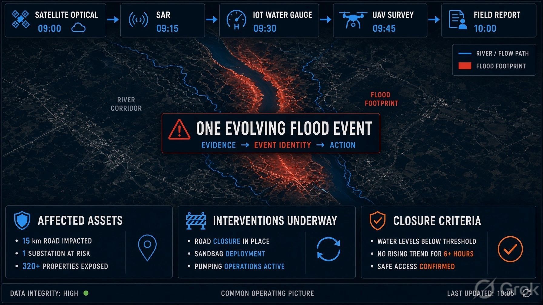
At 09:00, an imaging satellite identifies water near a river corridor. At 09:15, the footprint has expanded. At 09:30, a water-level gauge crosses a threshold. A SAR observation confirms inundation through cloud cover. A drone records a washed-out road. A field team reports that a substation approach road is inaccessible.
A conventional system may produce six alerts, six map layers or six separate tickets.
But emergency managers do not respond to observations. They respond to an event.
The real operational chain should be:
Many observations → one event identity → affected assets → operational consequence → interventions → updated state → closure.
That distinction will become central as observation becomes more persistent.
Detection is becoming easier. Identity is becoming harder.
For years, much of the Earth-observation industry focused on a familiar question: Can we detect a change?
That remains important. But as sensors become more frequent, lower-cost and more diverse, the next challenge is not simply detecting another change.
It is maintaining a trusted identity for the changing reality behind those observations.
Was the new image showing:
- the same flood expanding;
- a separate local drainage failure;
- water that has receded and returned;
- a false detection;
- or an existing incident entering a more severe state?
The answer changes the decision.
If every observation becomes a new event, teams are flooded with noise. If unrelated incidents are incorrectly merged, the situation picture becomes misleading. If observations from different sensors cannot be reconciled, neither the system nor the operator knows what to trust.
Persistent observation therefore creates an identity-resolution problem.
An event needs to become a first-class operational object
An event should not be just a marker on a map or a collection of alerts. It needs a persistent operational identity with a lifecycle.
A useful event record could contain:
- a stable event ID;
- first observation and latest observation;
- current state and evolving footprint;
- confidence and conflicting evidence;
- affected assets, communities and services;
- responsible organizations;
- linked cases and interventions;
- reopening or closure criteria;
- a complete evidence trail.
This makes the difference between “water detected near Road A” and “Flood Event 2026-09-04-017 is expanding eastward, has affected Road A and two feeder lines, has cut access to one settlement, and requires field verification before the route can be reopened.”
The first is an alert.
The second is an operating picture.
The three things platforms must keep separate
A practical architecture should distinguish three layers that are often mixed together.
Layer - What it represents - Example
Observation - A piece of evidence from a source at a point in time - A satellite image, gauge reading, drone video or field photo
Event - The changing real-world condition inferred from related evidence - One evolving flood
Case / intervention - The action taken by a responsible team - Road closure, pump deployment, field inspection or repair work
One flood may generate hundreds of observations. It may affect multiple assets. And it may create several intervention cases across different agencies.
Keeping these layers separate allows a system to preserve evidence without mistaking every new input for a new operational problem.
It also gives AI a more useful role. AI should not only label pixels, classify imagery or detect anomalies. It should help determine whether a new observation belongs to an existing event, whether it changes the event’s state, and when the evidence is too uncertain to make that claim.
Multi-sensor intelligence depends on this discipline
The future workflow is likely to look like this:
Persistent optical observation detects a developing condition. SAR helps characterize it despite cloud cover. A drone verifies a critical corridor. IoT measures local conditions. Field teams confirm access and damage. The operating system assigns actions and continues tracking the event until it is resolved.
The value does not come from collecting every feed.
It comes from connecting each feed to the correct physical reality, at the correct time, with a clear record of why the system believes they are connected.
This is precisely where a multimodal evidence platform and an operational-intelligence platform should meet.
For BSMA Enterprises & Dhineu, S-MDIP can provide the evidence foundation: ingestion, normalization, spatial alignment, time indexing and provenance across satellite, UAV, IoT, BIM, text and field inputs.
Our NeuSpatial platform can provide the operational layer: event state, affected assets, dependencies, ownership, decisions, interventions and closure.
That separation is not merely technical design. It can become a commercial distinction.
The opportunity is a Persistent Event Twin
“Near-real-time monitoring” is becoming a common promise.
A stronger promise is:
Maintain the operational state of a physical event as evidence continuously changes.
A Persistent Event Twin could support floods, cyclones, wildfires, industrial incidents, maritime situations and strategic-infrastructure monitoring.
It would answer the questions decision-makers actually need answered:
- Is this a new event or an update to an existing one?
- What is the current state, extent and confidence level?
- Which roads, power assets, facilities or communities are affected?
- What has changed since the last verified view?
- Which teams own the next action?
- What evidence is still needed before reopening, payment or closure?
This is where persistent Earth observation becomes operationally valuable. Not when an image arrives faster, but when the organization can act on a continuously updated and trusted event record.
More sensing should increase confidence, not noise
The geospatial sector is moving from periodic snapshots toward a much more continuous flow of evidence.
That is a major opportunity. But it will reward platforms that treat identity, time and provenance as core primitives not as cleanup work after ingestion.
The decisive question will increasingly be:
Can the system recognize that many observations describe one evolving reality, maintain its state, understand what it affects, and coordinate action until closure?
As Earth observation becomes more persistent, the scarce layer will not be sensing alone.
It will be trusted event intelligence.
What is the most difficult part of event identity in your domain: deciding that two observations are related, handling contradictory evidence, or knowing when an event is truly closed?