For decades, satellite-based vegetation monitoring has largely depended on what plants look like from space.
Are they green? Is the canopy dense? Has moisture declined? Is the surface warmer than usual? Has vegetation cover changed?
These observations have transformed agriculture, drought monitoring, forestry and ecosystem management. But they still leave an important question partly unanswered:
Is the vegetation actually functioning normally?
ESA’s Fluorescence Explorer mission, known as FLEX, is designed to bring us closer to that answer.
Scheduled to launch with Copernicus Sentinel-3C aboard a Vega-C rocket on 15 September 2026, FLEX will observe the faint fluorescence emitted by plants during photosynthesis. The mission is expected to produce global measurements at approximately 300-metre resolution.
This is more than another vegetation-monitoring satellite.
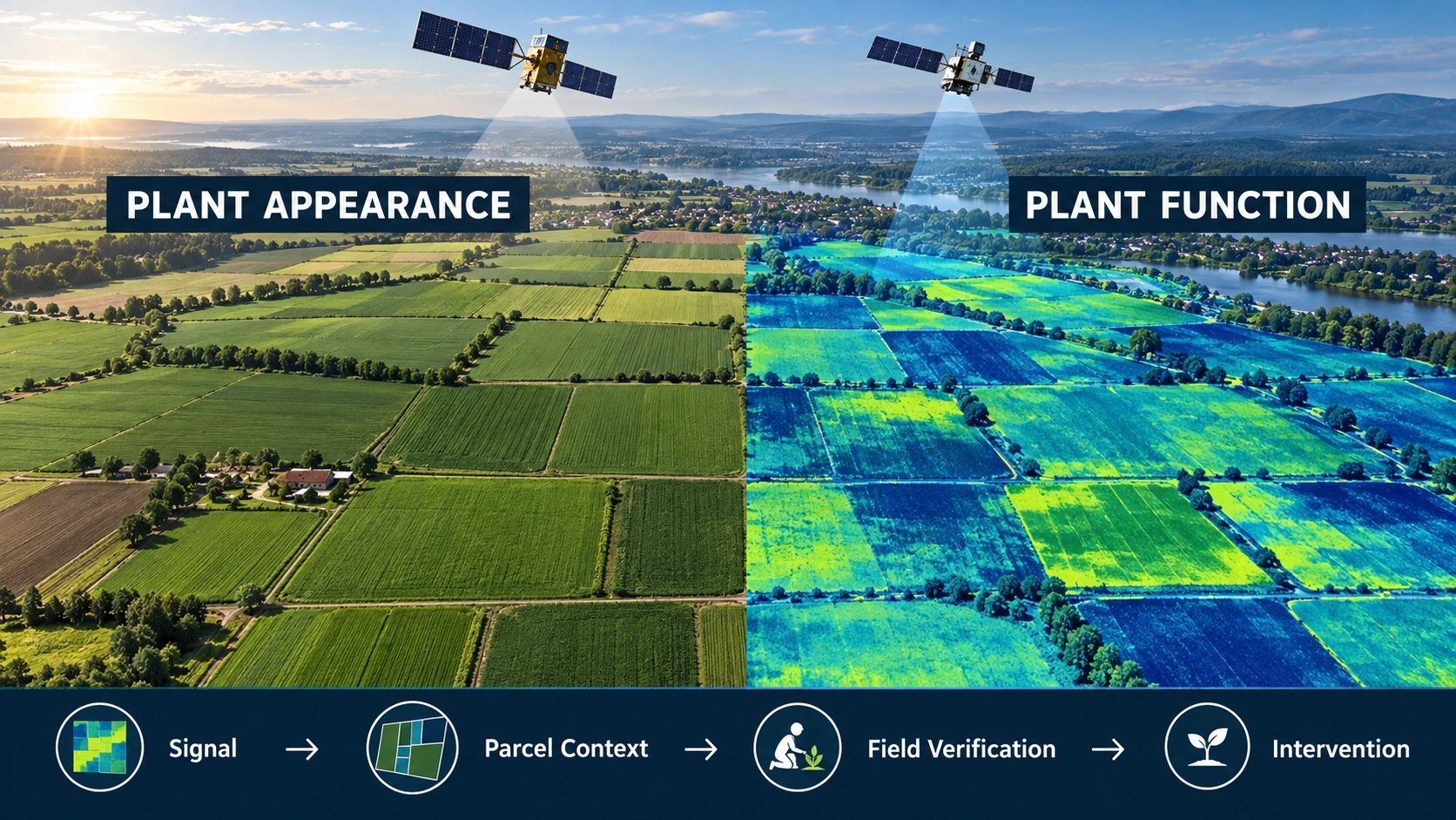
It represents a shift from observing plant appearance towards measuring plant function.
The limits of seeing greenness
Many current vegetation-monitoring systems use indicators derived from reflected sunlight.
NDVI and related indices can reveal changes in vegetation density, greenness and canopy condition. Thermal data can indicate elevated surface temperature. Radar can contribute information about structure and moisture. Hyperspectral observations can detect chemical and physiological characteristics.
These are all valuable.
But a plant can remain green while already experiencing physiological stress. Visible changes may appear only after photosynthetic performance has started declining.
That creates a time gap between the beginning of stress and its clear appearance in conventional imagery.
For agriculture, that gap matters.
By the time stress becomes visually obvious:
- yield potential may already have declined;
- irrigation may have been applied too late;
- disease or nutrient deficiency may have progressed;
- an insurer may struggle to reconstruct when the loss began;
- a carbon project may have overestimated vegetation performance.
Appearance tells us about observable condition.
Fluorescence offers additional evidence about the underlying biological process.
Plants release a signal while processing sunlight
Plants absorb sunlight to power photosynthesis. Not all absorbed energy is used in the same way. A small portion is released as heat, while another fraction is re-emitted as a faint fluorescent glow.
This solar-induced fluorescence is invisible to the human eye, but it can be detected using sensitive instruments.
FLEX will carry the FLORIS imaging spectrometer to measure this signal from orbit. The fluorescence measurements can then be converted into indicators of photosynthetic activity, vegetation health and plant stress.
The distinction is important.
A conventional optical image may indicate that a crop is green.
A fluorescence measurement may help scientists assess whether that crop is photosynthesizing as expected under the prevailing conditions.
This does not mean FLEX will diagnose every crop problem directly. Fluorescence must still be interpreted alongside weather, crop type, growth stage, water availability, temperature and field observations.
But it adds a new layer of evidence: a signal originating from the functioning plant itself.
FLEX and Sentinel-3 will work together
FLEX is designed to operate in tandem with Sentinel-3.
Sentinel-3 provides information about land-surface temperature, land cover, clouds, aerosols, water vapor and other vegetation parameters. These observations help correct and interpret the fluorescence signal collected by FLEX.
Together, the satellites will provide a combination of:
- vegetation fluorescence;
- surface reflectance;
- land-surface temperature;
- atmospheric conditions;
- vegetation structure and cover.
This matters because no single measurement explains why plant performance has changed.
A decline in photosynthetic activity might be related to heat, insufficient water, disease, nutrient stress or a normal stage in the growing cycle. Combining fluorescence with environmental and land-surface data provides more context for distinguishing these possibilities.
The broader lesson extends beyond this mission:
Better observation does not come from adding one more sensor. It comes from connecting different observations around the same place, time and biological process.
From global science to operational decisions
FLEX’s approximately 300-metre spatial resolution is well suited to regional and global monitoring, but it will not replace parcel-level drone surveys, field sensors or agronomic inspection.
A single FLEX pixel can contain different crops, soil conditions, irrigation patterns and management practices. Treating that signal as a direct field prescription would create false precision.
Its operational value will therefore depend on how the data is combined with other evidence.
A useful decision chain could be:
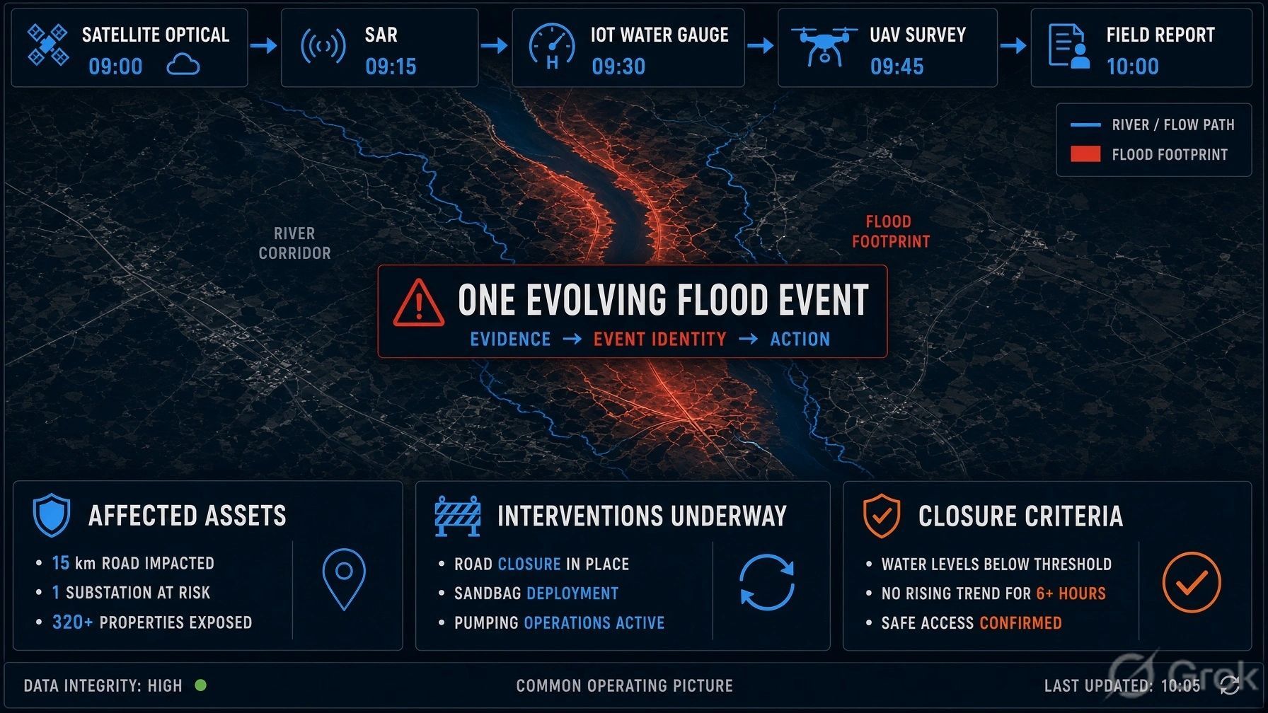
Vegetation-function signal → affected geography → parcel and crop context → weather and water conditions → suspected stress → priority for investigation → field verification → intervention → measured outcome
FLEX can help identify where vegetation performance appears abnormal.
Higher-resolution satellite imagery can narrow the affected area.
Weather and soil-moisture information can provide possible explanations.
Farm records can establish crop type, sowing date and irrigation history.
A drone or agronomist can then verify the condition before action is taken.
This is where Earth observation becomes part of an operating workflow rather than the end product.
New possibilities for agriculture
For agricultural organizations, fluorescence information could eventually contribute to:
- earlier identification of crop stress;
- regional drought-impact assessment;
- irrigation-priority planning;
- crop-productivity forecasting;
- comparison of management practices;
- insurance monitoring and loss assessment;
- evaluation of regenerative-agriculture interventions.
The important word is “contribute.”
A fluorescence anomaly should not automatically trigger irrigation, fertilizer application or an insurance decision. It should trigger a governed investigation based on multiple sources of evidence.
The business opportunity is therefore not simply to display FLEX data on a map.
It is to connect the signal to the parcel, crop, responsible party, field task and verified result.
Implications for carbon and ecosystem monitoring
Photosynthesis is also part of the global carbon cycle.
Plants absorb atmospheric carbon dioxide as they grow. Better information about photosynthetic activity could improve scientific understanding of vegetation productivity and carbon exchange.
This could support ecosystem monitoring, climate modelling and the assessment of how vegetation responds to heat and water stress.
However, fluorescence should not be presented as a direct carbon-credit measurement.
Carbon accounting still requires defined project boundaries, approved methodologies, baselines, uncertainty treatment, permanence assessment and independent verification.
FLEX may strengthen the evidence chain, but it does not replace the chain.
That distinction will matter as carbon markets increasingly use Earth-observation data.
The commercial value lies above the observation layer
FLEX is primarily a scientific mission, but it points towards a wider market shift.
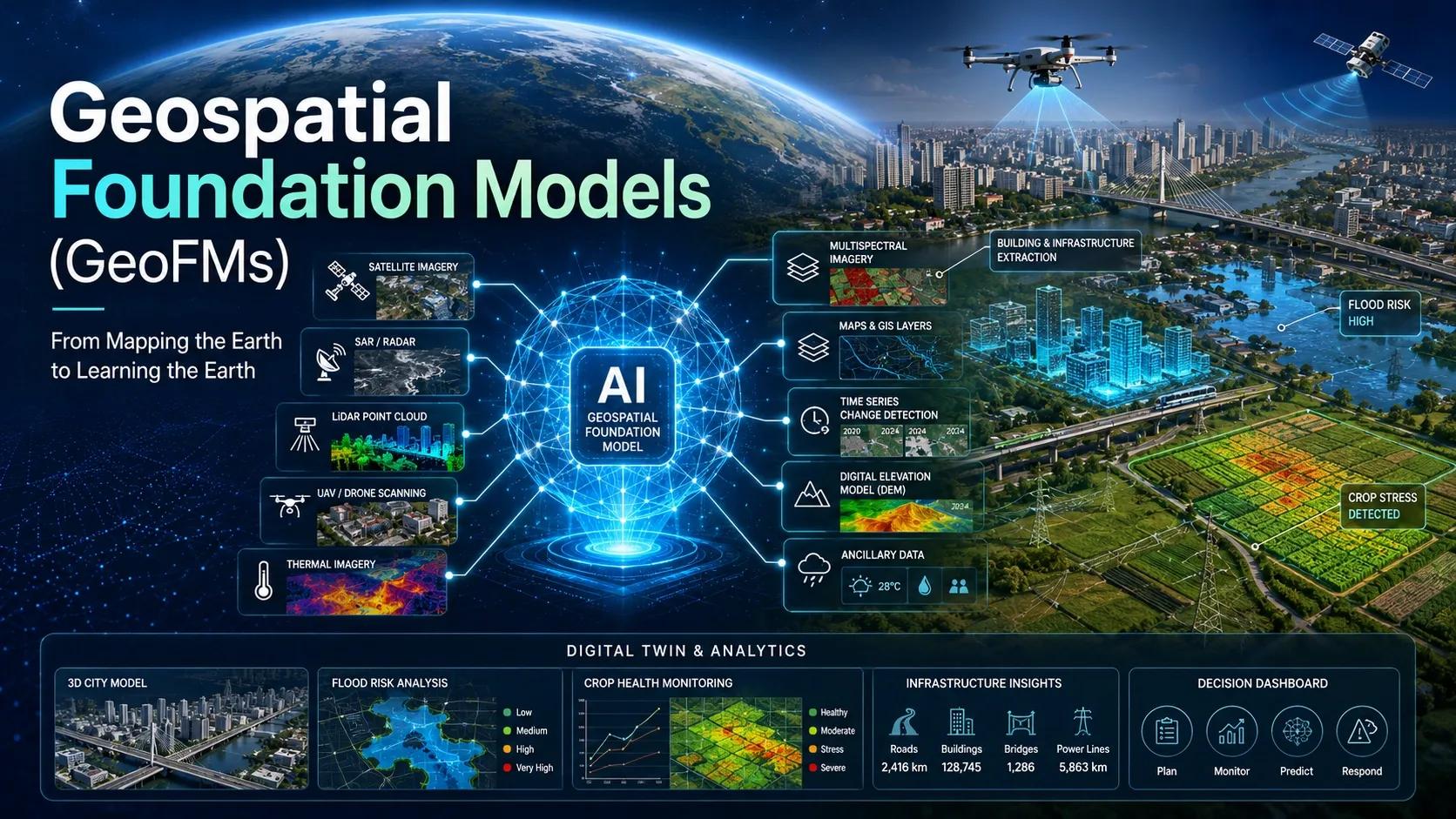
Remote sensing is advancing through three levels:
- Structure: What vegetation exists, and where?
- Condition: How does it appear to be changing?
- Function: How is the vegetation performing biologically?
As observation moves closer to function, expectations will also rise.
Users will want to know:
- Which farms or ecosystems are affected?
- How unusual is the signal?
- What other evidence supports it?
- Who should investigate?
- What intervention is justified?
- Did that intervention improve the outcome?
These questions cannot be answered by fluorescence data alone.
They require a spatial operating layer connecting Earth observation with property boundaries, crop records, weather, irrigation infrastructure, field teams and outcome evidence.
For platforms such as our NeuSpatial, the relevant opportunity is not to recreate FLEX science. It is to operationalize the resulting information.
The platform pattern could be:
Parcel → crop and growth stage → fluorescence anomaly → water and weather context → risk classification → recommended inspection → field evidence → intervention → yield or ecosystem outcome
That same pattern could serve agritech providers, crop insurers, irrigation companies, research institutions and regenerative-agriculture programmes.
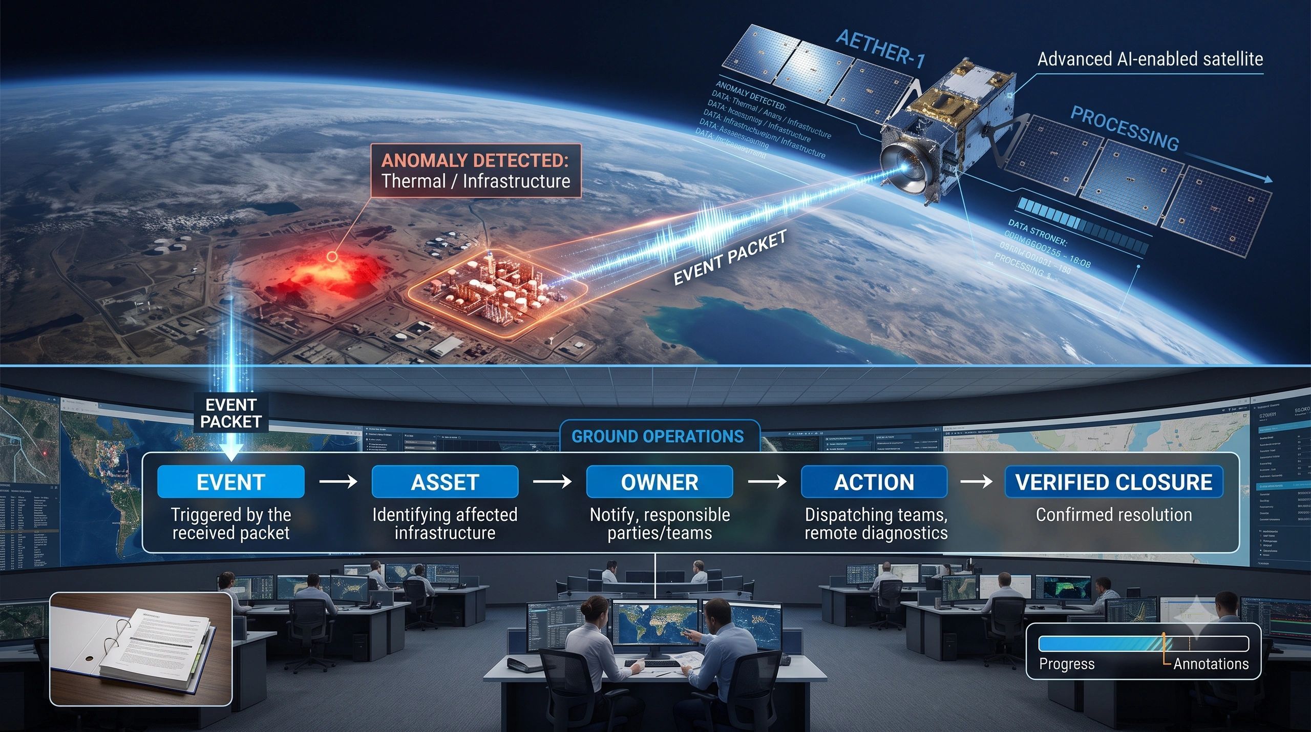
A satellite can detect change, but it cannot own the response
FLEX will help scientists observe vegetation in a way that conventional greenness measurements cannot.
But better observation does not automatically create better decisions.
Someone must still determine whether the signal is reliable, connect it to the correct operational unit, interpret its cause, authorize an intervention and verify what happened afterwards.
This is becoming the central challenge across Earth observation.
The scarcity is moving away from data collection and towards decision integration.
FLEX will measure something closer to what plants are doing, not merely how they look.
The organizations that create value from that capability will be those that can turn a biological signal into a responsible, verified and repeatable intervention.
The next step in remote sensing is not simply seeing the Earth more clearly. It is understanding whether the systems we observe are still functioning as expected and knowing what to do when they are not.