A utility can map every tree threatening its power lines and still struggle to answer one basic question:
Did the maintenance work reduce the risk?
A city can build a detailed digital twin while approvals, field inspections and asset updates remain disconnected.
A road operator can detect thousands of defects without knowing which repairs survived the next rainfall.
These are operational gaps. Better spatial data helps expose them, but closing them requires a connection between observation, responsibility, action and verification.
That connection is becoming a more important part of the geospatial product.
The gap after the map
Consider a typical infrastructure workflow.
An aerial survey identifies a problem. An analyst marks it on a map. A report reaches the maintenance team. Someone creates a work order in another system.
The crew completes the task. Photographs arrive through a mobile application, email or messaging group. The contractor submits an invoice.
Yet the original risk layer may remain unchanged.
The organization now holds several records of the same intervention, with limited assurance that they refer to the same asset, location and condition.
The dashboard shows what was detected. The maintenance system shows what was completed. Neither necessarily explains what improved.
This is where spatial intelligence loses operational continuity.
A utility example that brings the loop into view
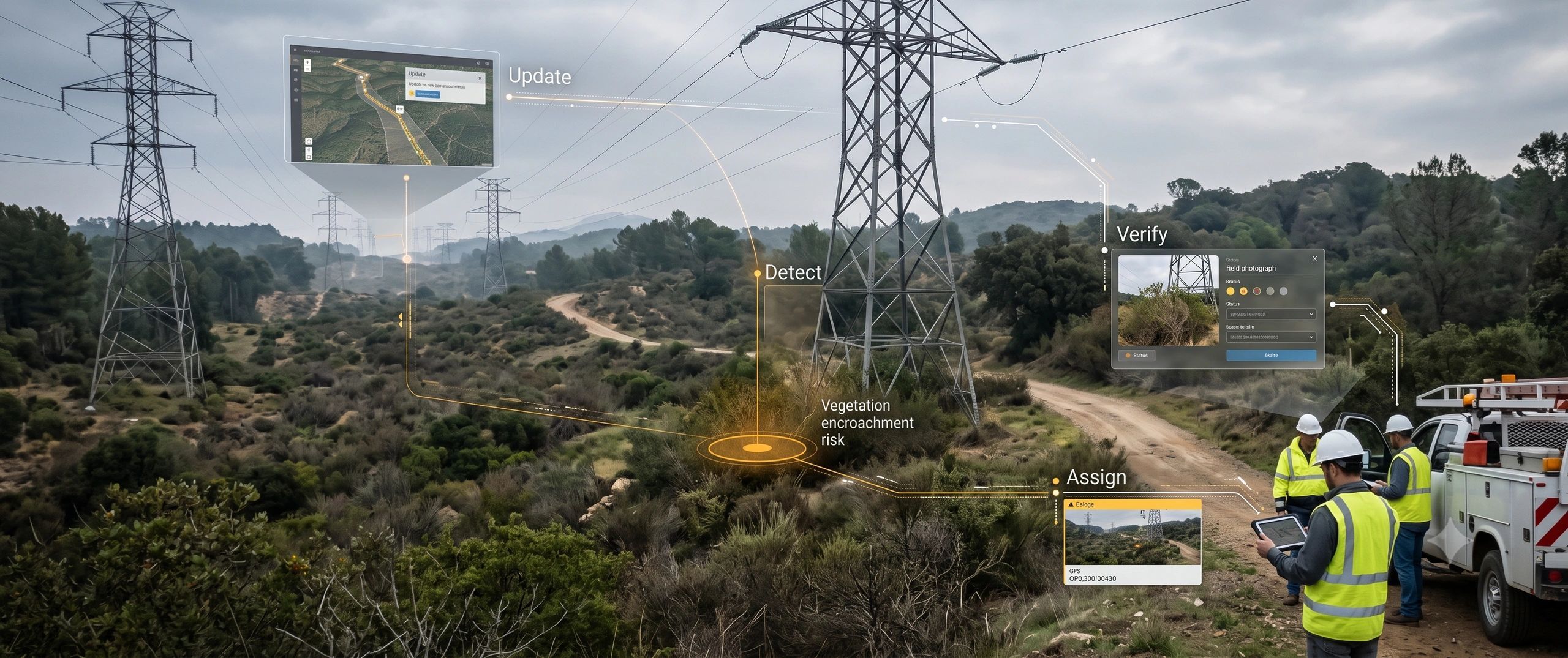
On 29 September 2026, Overstory and Fulcrum announced an integration connecting vegetation-risk planning with field execution.
Risk-based programs in Overstory generate work orders in Fulcrum. Crews capture notes, photographs and completion records, including offline. Completed work and field observations return to Overstory to update the risk picture. Shared span identifiers preserve the connection between planning and execution.
The important development is the continuity of that record.
A utility can follow an identified risk through an assigned intervention and back into its planning environment.
However, verified work and verified outcomes require different evidence. Photographs can establish that trimming occurred. An estimated reduction in outage risk remains dependent on the model, its assumptions and subsequent observations.
My reading is that this architecture raises the commercial standard for spatial analytics: buyers can ask how an insight connects to accountable action and how its consequences are assessed.
What makes spatial intelligence closed-loop?
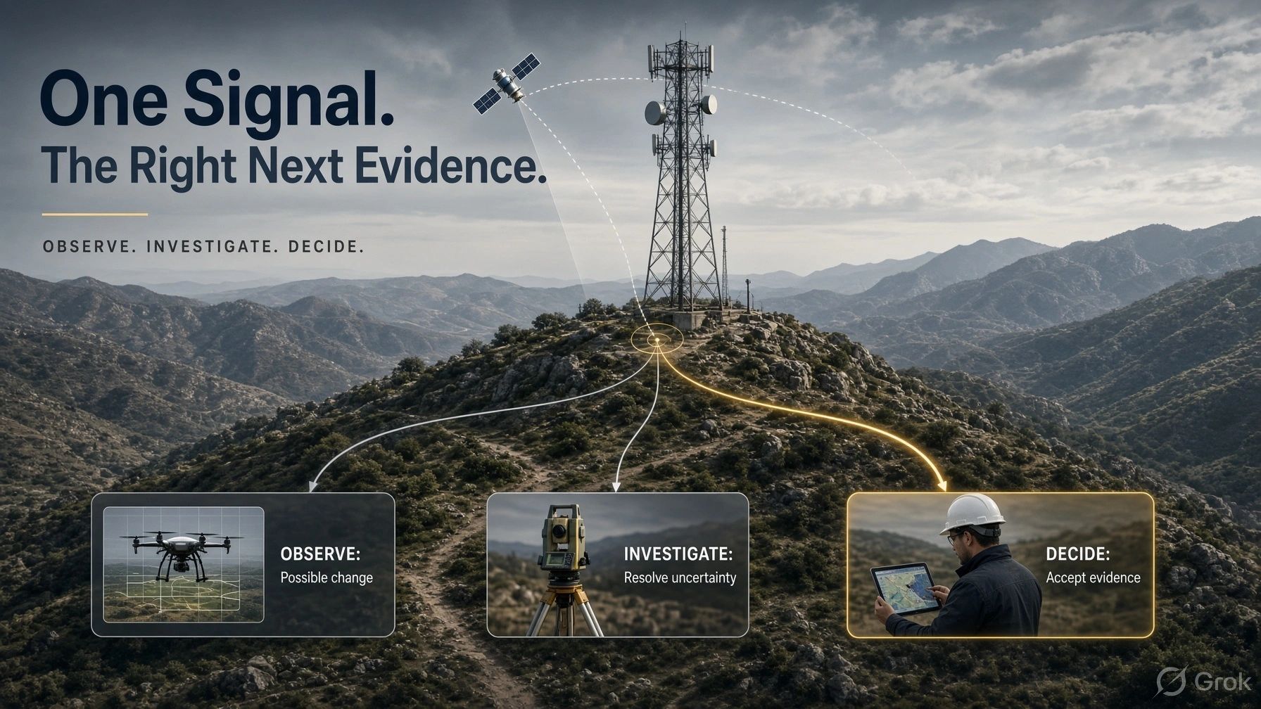
A closed-loop spatial system carries information through three connected responsibilities.
1. Establish the condition.
Identify what was observed, where it belongs, when it was captured and how reliable the evidence is.
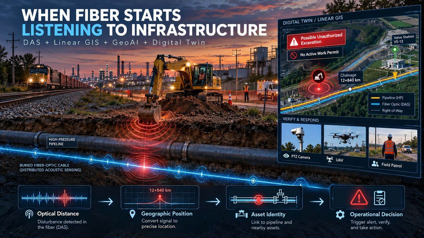
Satellite imagery, UAV surveys, BIM, IoT and field inspections contribute different pieces. Their timestamps, asset identities and limitations must remain visible.
2. Manage the response.
Translate the finding into a decision with an owner, priority, authorized action and completion criteria.
A high-risk symbol is useful only when the responsible team understands what to do next.
3. Verify and update.
Check the intervention against the required evidence, update the asset record and reconsider the remaining risk.
The loop also needs to handle disagreement. A crew may find that the detected defect was misclassified, the mapped location was wrong or the proposed intervention was unsuitable.
Those findings should return to the system with their evidence intact.
The pattern extends beyond utilities
Dubai offers a related signal at city scale.
When Dubai Municipality announced its Digital Twin Consortium membership on 4 October, it highlighted more than 195,000 modelled buildings and technical integration between its digital twin platform and the utility No Objection Certificate system.
The operational significance lies in connecting spatial context to an approval process.
That integration alone does not demonstrate a complete verification loop. It does show how a city model can become part of a consequential workflow involving infrastructure and utility coordination.
The EU-funded Scan2Twin project points toward another part of the same shift. Started on 1 October, its pre-commercial procurement program brings together six public procurers seeking scanning, data fusion, validated BIM and digital twins, renovation scenarios and reusable asset information. It is a procurement and validation program, with results still to be demonstrated.
My interpretation is that buyers are increasingly defining value around usable evidence and decisions. Model creation becomes one stage in a longer operational commitment.
A road repair illustrates the difference
Imagine a road-condition program.
A camera survey detects a pothole. The system assigns it to a road segment and records the supporting image, capture time and detection confidence.
An authorized reviewer confirms the issue. A contractor receives the task and completion requirements.
After repair, the crew submits location-linked evidence. A reviewer accepts it or requests another inspection. A later survey checks whether the repair remains effective.
This proposed workflow supports several useful measures:
- Time from detection to accepted repair.
- Percentage of repairs with adequate verification.
- Repeat defects within an agreed period.
- Cost per accepted intervention.
Kilometers surveyed still matters for coverage. These additional measures explain whether the program improved service.
A completed task is not automatically a resolved condition
This distinction deserves attention.
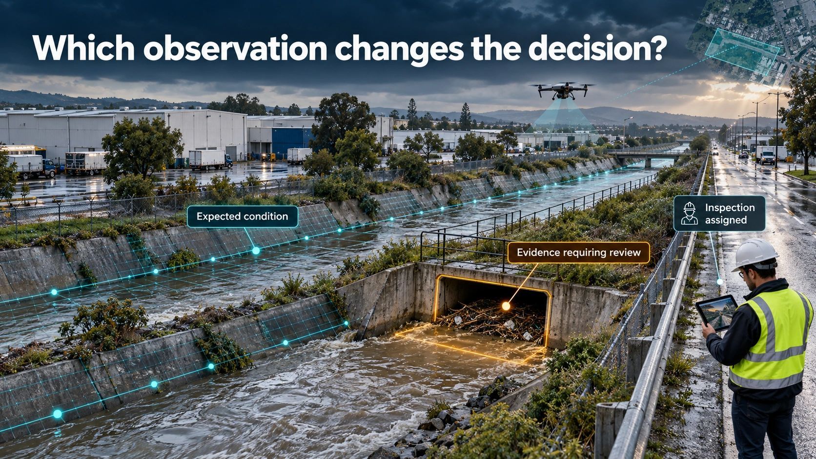
A drainage crew can remove a blockage while restricted flow persists downstream. A repaired road surface can fail again because the underlying cause remains. A replaced sensor can continue producing unreliable readings because its installation is unsuitable.
The system therefore needs separate records for work completion, verification and outcome assessment.
Closing a task should require evidence appropriate to the decision. Where evidence is insufficient, the issue should remain open or move to a clearly defined review state.
Human oversight belongs at these decision points: approving consequential actions, resolving conflicting observations and accepting results.
What this changes for buyers and builders
For infrastructure owners in India and MEA, a practical starting point is one repeatable workflow: road repairs, vegetation clearance, drainage maintenance or asset inspection.
Define the asset identity, responsible team, evidence requirements and update rules before expanding the platform.
For solution providers, this creates an opportunity in the connections between existing systems. Spatial analytics, field applications, maintenance software and asset registers need to preserve the meaning of a finding as it moves between them.
Integration earns its value when the next team receives enough context to act and returns enough evidence to improve the next decision.
The map remains a vital interface.
But the stronger procurement question is becoming:
Can this system follow a problem from detection through verified intervention, and show what remains unresolved?
That is a more demanding standard for spatial intelligence. It is also a more useful one.