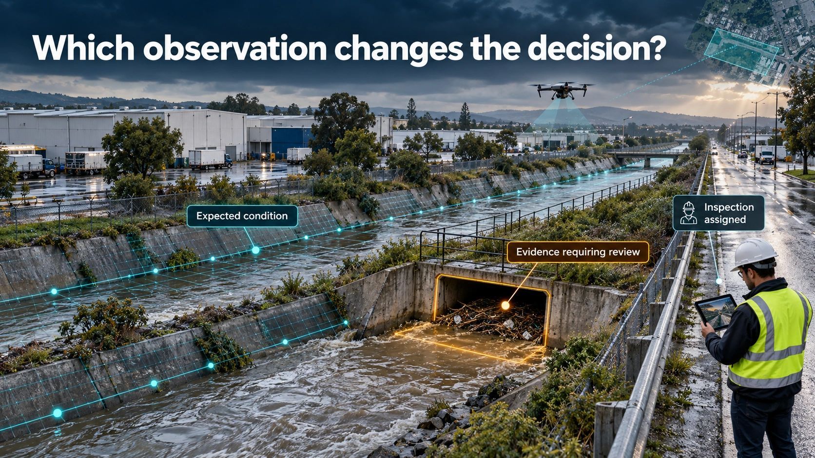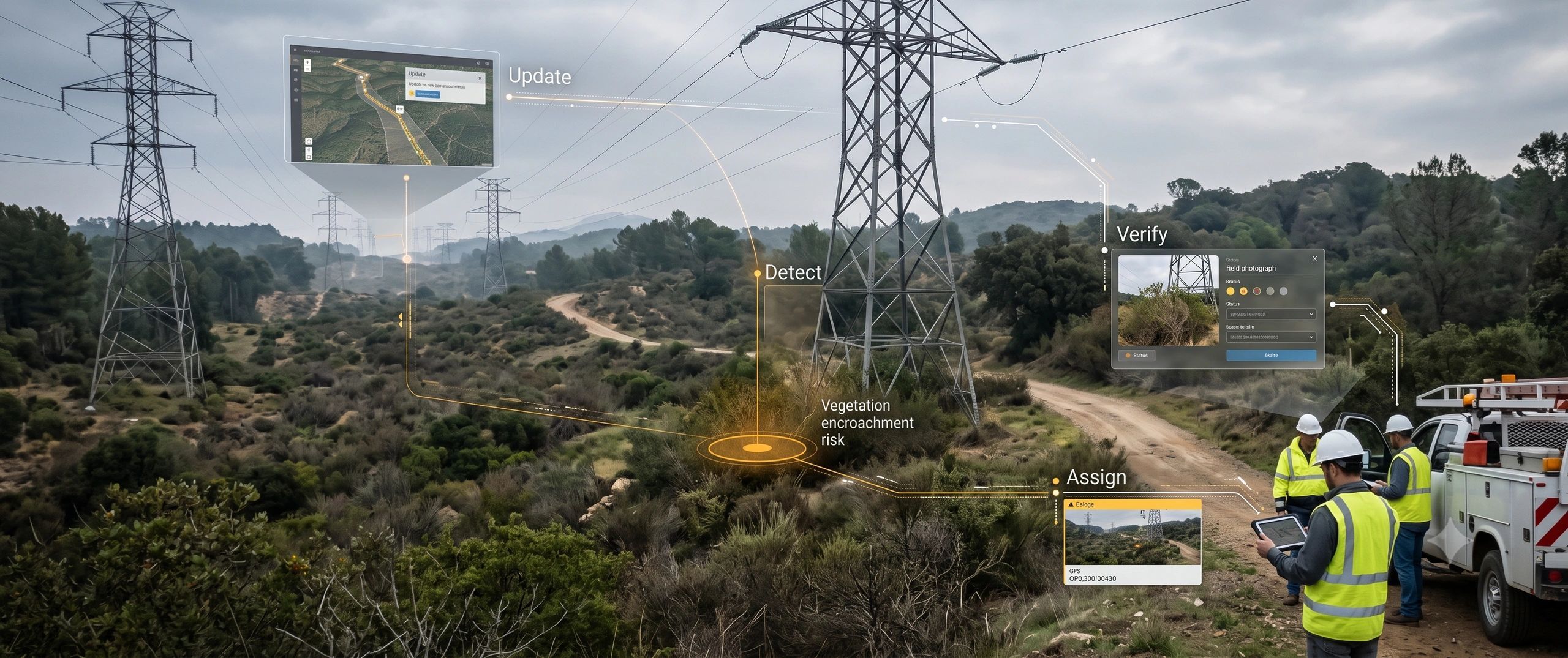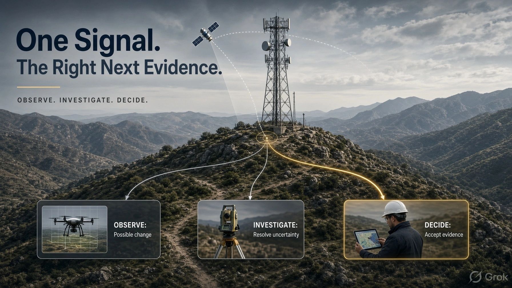
An infrastructure operator receives an alert suggesting movement near a critical asset.
Should they send a survey team, commission a drone flight, review satellite observations, or check existing instruments?
Each option costs money. Each answers a different question. Choosing the wrong one can waste an inspection budget or delay a necessary intervention.
This is becoming an important challenge for spatial intelligence: deciding which observation should lead to which investigation.
Collecting more data is easy to justify. Designing a defensible path from an early signal to an operational decision requires more thought.
Begin with the decision
Infrastructure monitoring often begins with a technology choice.
A satellite programme. A drone survey. A LiDAR campaign. Another sensor installation.
I would begin with the decision the operator needs to make.
Does this location need closer investigation? Has the asset moved? Is its service affected? Does someone need to restrict access?
Those questions require different evidence.
A broad observation may identify where attention is needed. A targeted survey may establish geometry. An engineering assessment may determine the operational consequence.
The cheapest useful observation is therefore the lowest-cost method capable of detecting the relevant condition within the required time.
Its purpose is to help select the next step.
Detection creates a question
The 15 October founder briefing proposed an evidence-escalation chain:
Satellite SAR → targeted UAV inspection → precise geometry → field verification.
That is a useful starting point, provided we treat it as a set of options rather than a mandatory sequence.
Satellite radar interferometry can reveal surface displacement across broad areas. Its interpretation has limits: measurements follow the satellite’s line of sight, and changing surface conditions can weaken the usable signal. A displacement observation therefore needs context before it becomes an asset-level conclusion. vldb.gsi.go.jp
“Movement detected near the asset” raises a question.
“Asset failure confirmed” makes a much stronger claim.
The workflow must preserve that distinction.
Otherwise, an early warning can acquire more certainty as it passes through dashboards, summaries and AI-generated recommendations.
One asset, several possible investigations
Consider an illustrative case involving a transmission tower, T27.
A satellite-derived movement signal appears near its foundation.
The first task is to establish whether the observation has been correctly associated with the tower. Does it represent the foundation, nearby ground, or another reflecting surface? Is it recent enough? Is the measurement quality adequate?
Suppose that review supports further investigation.
A drone inspection might reveal erosion or changed drainage around the foundation. However, imagery alone may leave the amount of displacement unresolved.
A targeted ground survey could then measure movement against an appropriate reference. An engineer would assess what those findings mean for the structure and its operation.
The investigation has progressed because each step addressed a specific uncertainty.
But another situation could demand a different path.
If existing instruments indicate rapid deterioration, or a credible report identifies immediate danger, the operator may need protective action and urgent inspection immediately.
Evidence escalation must allow stages to be skipped when consequence and urgency demand it.
Ask three questions before collecting more
A practical evidence workflow can use three gates.
1. Is the observation fit for this question?
Check asset identity, location, capture time, coverage, measurement quality and relevant limitations.
An observation may be technically valid while being unsuitable for the decision at hand.
2. What happens if we are wrong or late?
Consider both unnecessary intervention and missed deterioration.
A low-confidence signal affecting a critical asset may deserve urgent review. A high-confidence observation of a minor condition may justify routine monitoring.
Confidence and consequence need separate treatment.
3. Which evidence could change the next action?
Choose the method that resolves the remaining uncertainty within the available time.
If the question concerns foundation movement, another visual survey may add little. If the question concerns visible obstruction, a detailed deformation analysis may be unnecessary.
This is the practical meaning of “next best evidence”: evidence selected for its ability to change a decision.
The chain must branch and stop
A useful workflow needs several possible outcomes:
- Continue monitoring.
- Collect a different type of evidence.
- Refer the case for specialist review.
- Take an authorized protective action.
- Close the investigation with a recorded reason.
Without a stopping rule, evidence escalation becomes endless data collection.
Without a branching rule, it becomes a procurement ladder in which every alert triggers progressively more expensive surveys.
There is also a critical distinction between “no relevant change detected” and “the method could not adequately observe the condition.”
Poor coverage, unsuitable viewing geometry or outdated observations should leave the condition unresolved.
A quiet dashboard should never conceal an observation gap.
Give the digital twin an investigation record
This creates a practical role for a digital twin.
For each investigation, it should connect:
Asset → observation → unresolved question → selected evidence → reviewer → decision → outcome.
The record should explain why the next method was selected, what it could establish, and what would trigger another review.
Observations also need their own validity periods. Yesterday’s inspection may remain useful for one decision and be inadequate for another after a storm, excavation or equipment event.
Conflicting evidence should remain visible. A reassuring image should not silently replace an instrument reading that indicates movement.
For BSMA, this suggests a product direction: connect geospatial observations, asset context and investigation workflows so teams can see what is known, what remains uncertain and who can accept the conclusion.
That would require explicit workflow rules and domain validation.
Measure investigation quality
The commercial case should be tested through operational outcomes.
Useful measures include time from alert to a defensible decision, cost per resolved investigation, unnecessary site visits, unresolved cases and the proportion of investigations with traceable acceptance.
Missed conditions also matter. Reviewing only the alerts that reached investigators can make a monitoring system appear more effective than it is.
A pilot should therefore examine selected locations where no alert was raised, alongside the cases that escalated.
Savings become meaningful when the organization can show that it reduced avoidable work while maintaining the required assurance.
Observation should create direction
The next advance in spatial intelligence may come from coordinating existing technologies more intelligently.
Satellites can help direct attention. Drones can provide targeted views. Surveys and instruments can answer measurement questions. Qualified people can assess consequences and accept decisions.
Their value depends on how well those roles connect.
My position is straightforward:
Start with the most economical observation fit for the task. Escalate according to uncertainty, consequence and time. Stop when the required decision has adequate support.