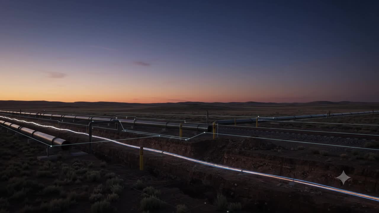
For decades, optical fiber along railways, pipelines and utility corridors has primarily been treated as communications infrastructure.
It carries data.
But the same fiber can also become something else:
A continuous sensor stretching for tens of kilometers.
That changes an interesting assumption about infrastructure monitoring.
We normally think that observing more of the physical world requires installing more sensors.
More cameras. More vibration monitors. More inspection vehicles. More IoT devices.
Distributed Acoustic Sensing, or DAS, challenges that assumption.
Instead of adding thousands of physical sensors along a railway or pipeline, an optical interrogator can use an existing fiber-optic cable to detect vibration and dynamic strain at intervals measured in meters.
A 50–100 km fiber can effectively behave like tens of thousands of virtual sensing points.
But that is not the most interesting part.
The real shift happens when those signals become spatially and operationally meaningful.
A vibration is not yet infrastructure intelligence
Consider a buried high-pressure pipeline.
A DAS system may detect a distinctive vibration somewhere along the fiber.
Perhaps it is:
- an excavator operating near the right-of-way,
- road traffic,
- maintenance activity,
- manual digging,
- or some other disturbance.
Detecting the vibration is useful.
But an operator does not really need to know:
“An acoustic event occurred 32,814 meters from the interrogator.”
They need to know:
“Unauthorized excavation may be occurring near this specific pipeline segment, 180 meters from Valve Station 14, where operating pressure and surrounding land use make the event high risk.”
That translation is where geospatial intelligence enters the system.
Raw DAS produces measurements against optical distance.
Infrastructure operations work with geographic coordinates, chainage, asset IDs, crossings, structures and operational zones.
Connecting the two requires linear referencing.
And it is harder than it initially sounds.
Fiber cables do not follow a perfectly straight representation of the asset. They may contain bends, slack loops, splice chambers and routing deviations. Optical distance therefore cannot simply be treated as geographic distance.
The sensing system has to be calibrated against known locations so that a disturbance along the fiber can be mapped reliably to the physical infrastructure corridor.
This creates an important spatial transformation:
Optical distance → geographic position → infrastructure chainage → asset identity.
Only then does the signal begin to belong to the digital twin.
The digital twin becomes an operational context layer
Once a detected event has a trusted location, the system can ask much more useful questions.
What asset is here?
What is its condition?
What is buried nearby?
What is the operating pressure?
Is this section close to a road crossing or populated area?
Is maintenance currently authorized?
Has something similar happened here before?
For rail infrastructure, the same principle could connect repeated acoustic changes to specific track sections and potentially reveal evolving patterns associated with ballast condition, fasteners or wheel–rail interaction.
The document describes this as moving from raw acoustic telemetry toward asset-linked spatial intelligence, including links to linear BIM entities such as pipe or track elements.
This is where I think the concept becomes strategically important.
The fiber is not replacing the digital twin.
The fiber is giving the twin another way to observe reality.
And the twin gives the fiber something the raw signal does not have:
context.
GeoAI changes the role of continuous sensing
Continuous sensing produces another problem.
Too much data.
A DAS interrogator monitoring tens of kilometers can generate enormous volumes of raw acoustic information.
Sending everything to a central cloud platform is neither necessary nor particularly useful.
The more practical architecture is likely to be hierarchical.
At the edge, machine-learning models classify acoustic signatures and remove much of the background noise.
Instead of transmitting every vibration waveform, the system can transmit events:
Possible excavation. Train detected. Wheel anomaly. Unusual impact. Repeated disturbance.
The document points to 1D CNNs and spectrogram-based models as possible classifiers for distinguishing different vibration patterns.
But classification alone should not determine action.
A detected event needs to be interpreted together with place, asset condition, operational state and authority.
That leads to something much closer to a closed-loop spatial intelligence system.
From detection to intervention
Imagine the following sequence.
A fiber running beside a pipeline continuously observes acoustic activity.
An edge model identifies a high-confidence mechanical excavation signature near the right-of-way.
Linear referencing converts the optical position into pipeline chainage and geographic coordinates.
GIS identifies the nearby pipeline segment, operating context and critical assets.
The system checks the work-permit registry.
No authorized activity exists.
Now the event means something very different.
It is no longer merely an acoustic anomaly.
It is a potential third-party strike against an operating asset without an approved work permit.
That can trigger escalation.
A field patrol might be dispatched.
A nearby PTZ camera could turn toward the location.
A drone could be sent to gather visual evidence.
The intervention can then be verified when the acoustic disturbance stops and the field team records clearance evidence back into the asset history.
That Observe → Understand → Prioritize → Decide → Assign → Act → Verify loop is described directly in the source concept.
And it illustrates why the map is no longer the final product.
The map is becoming part of the reasoning system.
But this is not uniformly mature
There is an important distinction to make.
DAS itself is not speculative technology.
The document describes linear perimeter intrusion detection, pipeline excavation protection and train tracking as operationally proven applications.
But predictive track-bed maintenance and automated digital-twin integration are still earlier in commercial maturity.
There are also physical limitations.
Cable installation matters.
A directly buried fiber may couple well with surrounding ground vibration.
A cable sitting loosely inside a conduit may produce weaker or more complex acoustic responses.
And continuous sensing creates very large raw datasets, making edge filtering and event extraction essential.
This matters because infrastructure intelligence should never confuse more observations with better evidence.
A signal must still be calibrated, classified, contextualized and verified.
The bigger opportunity may sit above the sensor
Many infrastructure operators already have optical fiber running beside railways, pipelines, metro systems and transmission corridors.
That creates an interesting commercial question.
The largest opportunity may not necessarily be manufacturing another sensing device.
It may be building the intelligence layer that connects existing sensing infrastructure to operational decisions.
That layer would need to do three things particularly well:
Convert optical distance into trusted spatial and asset references.
Train location-specific models that understand the acoustic environment of each corridor.
And connect verified events into maintenance, inspection, work-permit and field-response workflows.
That is where DAS becomes more than fiber-optic sensing.
It becomes part of the infrastructure’s observation architecture.
And that points to a broader GeoThinking principle:
The future of infrastructure intelligence may not depend on adding a sensor to every asset.
Sometimes the sensing capability is already there.
The real challenge is turning an observation into the right place, the right asset, the right context and ultimately, the right decision.
Perhaps the next generation of infrastructure digital twins will not simply represent assets.
They will continuously listen to them.
The question is: when infrastructure can observe continuously, what evidence should be sufficient before the system is allowed to act?