A digital twin is only as useful as the evidence behind the decision it supports and the plan for when that evidence is unavailable.
A transmission operator receives a monitoring alert: the latest satellite image of a corridor could not be acquired.
The dashboard shows a data gap. The vegetation continues to grow. And the decision about whether a section needs inspection still has a deadline.
This is the weakness in many “always-on” monitoring plans. They focus on how often a sensor collects data, while the operation depends on something broader: having sufficient evidence available when a decision must be made.
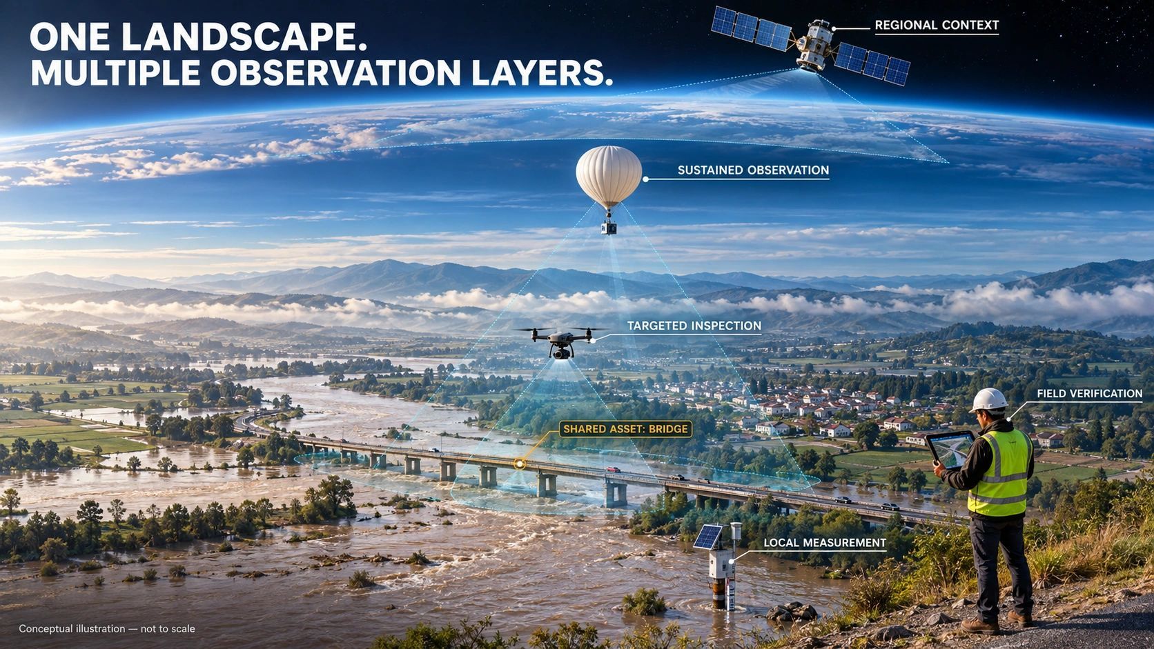
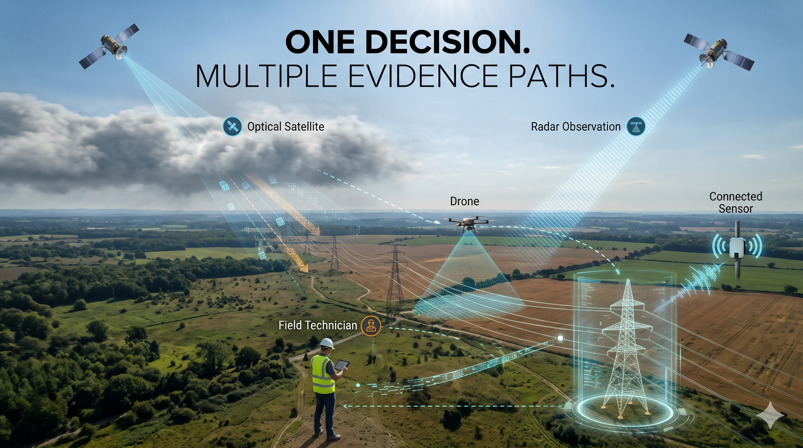
Satellites, drones, IoT devices, cameras and field teams can all contribute to that evidence. Each also has limits.
Cloud can obscure an optical image. Weather can ground a drone. A gateway can lose power. A field team may be unable to reach a site.
If the monitoring service depends on one of these paths, the decision can become exposed at precisely the moment it matters most.
Start with the decision
Consider a hypothetical transmission corridor where the operator requires vegetation-clearance evidence no more than seven days old for routine screening.
The preferred source is satellite imagery. On day six, the next usable image is unavailable.
A conventional system may report: “New data unavailable.”
An evidence-aware system should go further:
- Which corridor sections are affected?
- What decision does the missing observation support?
- When will the existing evidence expire?
- Is another suitable observation available before the deadline?
- If not, what action should the operator take?
A different optical satellite, a drone survey or a field inspection may be possible. Radar imagery could also contribute to vegetation or change screening in some circumstances.
But the choice depends on the decision. A source suitable for identifying broad change may not establish the distance between a tree and a conductor.
The important shift is from asking, “Where is my next image?” to asking, “What evidence can support this decision before the deadline?”
Alternative does not mean equivalent
This distinction matters because sensors observe different properties.
Optical imagery can provide visual and spectral information about vegetation, but cloud may block the view. Synthetic aperture radar can image through cloud and operate in darkness. The European Space Agency notes that radar and optical observations can complement one another for land monitoring. Instrument
That does not make every radar observation a direct replacement for an optical image or for a clearance measurement.
Similarly, a drone image might reveal a tree close to a line, while a properly planned LiDAR survey or field measurement may be needed to assess three-dimensional clearance. The right choice depends on resolution, timing, accuracy, site conditions and the consequence of being wrong.
A practical monitoring plan should define three things for each source:
- What it can establish: the claims or decisions it can reasonably support.
- What it cannot establish: gaps, uncertainty and conditions that limit its use.
- What happens next: whether the result permits action, requires review or triggers another observation.
Sometimes an alternative will preserve the original decision. Sometimes it will only support a narrower screening decision. And sometimes no safe substitute will be available.
That last outcome should be visible to the operator, not hidden behind a continuous stream of lower-quality data.
Evidence freshness is only the beginning
Many monitoring contracts specify how often data should be collected or how old an observation can be. That is useful, but it leaves an important question unanswered:
What happens when the preferred source fails before the evidence expires?
This is where I see value in an Evidence Continuity SLA.
An evidence freshness requirement might say:
For routine screening, vegetation evidence must be no more than seven days old.
A continuity requirement would add:
If the preferred source becomes unavailable, assess approved alternatives before the existing evidence expires, and notify the decision owner if the required evidence cannot be restored.
The actual agreement would need to define coverage, acceptable methods, lead times, costs, responsibilities and exceptions. No provider can guarantee that every location will remain observable in every disruption.
But it can make a meaningful commitment to detect an emerging evidence gap, pursue agreed alternatives and escalate when decision coverage cannot be maintained.
That is a more operationally useful promise than simply counting images delivered.
One measure could be the percentage of critical decisions for which sufficient, current evidence was available when required. Track this alongside the time taken to identify and resolve evidence gaps. Together, these measures show whether monitoring supports the operation not just whether sensors are reporting.
Two sensors may still share one point of failure
Adding a second sensor can improve resilience. It does not automatically create an independent evidence path.
Imagine two water-level sensors installed at a drainage location. Both work well, but both send data through the same gateway. They also depend on the same power supply, telecom connection and cloud endpoint.
If the gateway fails, the operator loses both readings.
The system has two sensors, but it has not protected the full path from observation to decision.
A more useful design traces the dependencies:
Sensor → power → communications → processing → evidence → decision
Then it asks which parts are shared by the primary and alternative paths.
For a drainage decision, an alternate path might include a separately powered sensor with independent communications. Rainfall radar, a camera or a field observation could add context, but each would need to be assessed against the specific question. A rainfall estimate, for example, does not directly measure water level inside a chamber.
This leads to a useful resilience measure:
What proportion of critical decisions have at least two assessed evidence paths without a known shared critical dependency?
The answer will rarely be perfect. The purpose is to expose what is independent, what is shared and what remains unverified.
A digital twin should show the evidence gap
A digital twin can display a current-looking asset while the information behind it has expired.
That is a design problem. The visual model should help an operator understand the condition of the evidence, not merely the last value received.
For a critical asset or operational claim, the twin should make it possible to see:
- The last valid observation and when it was captured.
- The source and processing path behind it.
- Its freshness, uncertainty and intended use.
- Any known source failure or shared dependency.
- The available alternative and its limitations.
- The person or team responsible for the next decision.
If the evidence is stale or unavailable, the displayed state should reflect that. “Unknown” can be a more useful operational status than a confident-looking value that no longer has adequate support.
Plan for disruption before it arrives
Monitoring systems can operate under different priorities.
In normal conditions, the priority may be to obtain sufficient evidence at an appropriate cost. During a disruption, the priority may shift to speed, continuity, safety and the independence of the observation path.
For example, an operator might use satellite observations for broad routine screening and reserve targeted drone or field work for locations requiring closer inspection. During prolonged cloud cover, the team could assess whether other approved sources can maintain coverage and escalate the locations that cannot be assessed adequately.
The key is to agree on those rules beforehand:
- Which decisions are most time-sensitive?
- What is the minimum evidence for each one?
- Which alternatives have been validated for that purpose?
- When should a human review or field inspection be triggered?
- What temporary operational restriction applies if the evidence cannot be restored?
This also helps control costs. The objective is not to deploy every sensor everywhere. It is to choose the least costly available observation that meets the decision requirement, while recognizing that a higher-assurance method may be necessary.
The service is decision coverage
The value of monitoring is not measured only by the volume of observations collected. It is measured by whether an owner or operator can make the required decision with evidence that is current, sufficient and understood.
That may mean using the same sensor for months. It may mean switching sources when conditions change. It may mean acknowledging that the evidence is insufficient and taking a precautionary action.
A resilient monitoring service should know the difference.
For digital twins and infrastructure operations, the next question is therefore not just “Can we monitor this continuously?”
It is:
“When our usual evidence disappears, which decisions remain supported and which ones become unknown?”