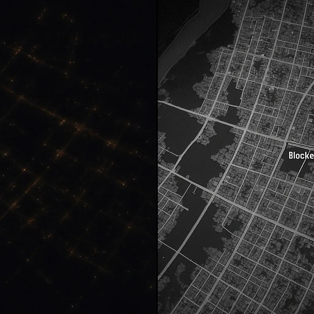
Disaster response often suffers from limited visibility, unpredictable weather, and access challenges, especially during night-time operations. Optical sensors, which rely on sunlight, become ineffective in low-light or no-light conditions, significantly slowing down emergency actions. Synthetic Aperture Radar (SAR), with its all-weather, day-and-night imaging capabilities, is revolutionizing how we monitor and respond to disasters, especially during critical nighttime hours. This article explores the technical principles behind SAR, its applications in night-time disaster response, and how it complements other remote sensing technologies.
What is Synthetic Aperture Radar (SAR)?
SAR is a form of active remote sensing that emits microwave signals toward the Earth's surface and measures the reflected signal. Unlike optical systems, SAR does not depend on sunlight and can penetrate clouds, smoke, and even some types of vegetation. It generates high-resolution images by simulating a large antenna aperture using the movement of the satellite or aircraft.
Key features:
Active sensing : SAR systems transmit and receive their own signal, allowing independence from ambient light.
Microwave frequency : Typically operates in bands like X, C, L, and S, with varying penetration and resolution characteristics.
High-resolution imaging : Can capture surface features down to a meter-scale, even in darkness or cloud cover.
SAR’s Edge in Night-Time Disaster Monitoring
In disaster-prone scenarios like floods, landslides, earthquakes, oil spills, and wildfires, time is of the essence. SAR’s ability to provide uninterrupted surveillance becomes a critical advantage. Here's how SAR contributes during night-time disaster response:
1. Real-Time Situational Awareness
SAR satellites like Sentinel-1 (C-band), ICEYE (X-band), and Capella Space (X-band) deliver rapid revisit capabilities, some within a few hours. This is vital for:
Identifying flooded areas in urban zones
Mapping landslides after heavy nighttime rain
Tracking wildfire perimeters obscured by darkness and smoke
By fusing SAR images with pre-event baseline data, analysts can rapidly detect anomalies and activate emergency protocols.
2. Penetration Through Obscurants
Night-time disasters often coincide with additional visual obstructions, smoke from wildfires, storm clouds during cyclones, or volcanic ash. SAR systems are unaffected by these conditions:
Volcanic eruptions : SAR can map lava flows and ash dispersal despite thick plumes.
Wildfires : Tracks fire progression beneath smoke plumes.
Tropical cyclones : Monitors storm surge and inundation below dense clouds.
3. Change Detection and Damage Assessment
SAR’s coherent nature allows for interferometric and coherence-based change detection , which is especially useful during nighttime:
Interferometric SAR (InSAR) compares phase differences in multiple SAR passes to detect ground displacement, useful for identifying subsidence after earthquakes.
Coherence analysis identifies surface changes by comparing signal consistency, allowing damage classification (collapsed vs. intact buildings).
These methods provide spatially accurate damage maps even before daylight, giving first responders a critical time advantage.
Key Use Cases in Night-Time Disaster Response
A. Flood Mapping
SAR is particularly effective in detecting water bodies, as calm water surfaces reflect radar signals away from the sensor, appearing dark in images. In 2020, Sentinel-1 imagery was used overnight to map flooding in Bihar, India, facilitating early evacuation planning.
SAR-enabled platforms like NASA’s Advanced Rapid Imaging and Analysis (ARIA) use automated flood extent mapping pipelines to deliver actionable flood maps overnight.
B. Earthquake Damage Detection
Post-seismic monitoring using SAR can be conducted during nighttime using both ascending and descending satellite passes. By comparing radar images before and after an event:
Damaged urban areas can be identified
Infrastructure resilience can be assessed
Emergency resource deployment can be prioritized
SAR was pivotal in the 2023 Turkey-Syria earthquake response, where night-time imagery from ICEYE and Sentinel-1 informed rescue operations within hours.
C. Landslide and Avalanche Detection
Night-time landslides, particularly in mountainous or forested regions, are hard to detect using optical means. SAR helps by:
Identifying surface deformation via InSAR
Mapping terrain changes using amplitude variations
Supporting early warning systems
Combined with elevation models and rainfall data, SAR can also contribute to predictive analysis.
Integration with UAVs and Ground Systems
While spaceborne SAR systems offer macro-scale coverage, UAV-based SAR systems are emerging for high-resolution, local-scale disaster response. These UAV-mounted radars can:
Fly in cloudy, rainy, or smoky conditions
Operate in zero-light environments
Provide rapid feedback to command centers via wireless links
Coupling UAV SAR data with GNSS, thermal cameras, and IoT ground sensors creates a real-time operational picture for field teams.
Challenges and Limitations
While SAR is powerful, it is not without limitations:
Speckle noise : Inherent to radar images, requiring advanced filtering techniques.
Complex interpretation : Radar imagery requires trained analysts or AI-based classification tools for meaningful interpretation.
Data latency : Although improving, near-real-time SAR data delivery still depends on ground station networks and satellite revisit schedules.
Newer constellations (e.g., Capella, ICEYE, Umbra) are addressing these through higher revisit rates and cloud-based delivery APIs.
Advancements in AI and Automation
Modern SAR disaster response workflows are increasingly augmented by AI and machine learning:
Flood classifiers trained on labeled SAR datasets automate inundation maps.
Building damage detection models use coherence and backscatter signatures to flag potential collapses.
SAR + Optical fusion models enhance accuracy by combining day-time optical clarity with SAR’s night-time reach.
Cloud-native platforms like Google Earth Engine, AWS Open Data, and ESA SNAP Toolbox support these automated pipelines.
Conclusion
Synthetic Aperture Radar is becoming indispensable for night-time disaster response. Its ability to “see” through darkness, clouds, and smoke gives emergency responders a reliable tool for 24/7 monitoring. From rapid flood mapping to seismic damage analysis, SAR supports timely, data-driven decisions in the most critical hours, often before the sun rises.
With continued investments in miniaturized satellites, AI-based image analytics, and UAV-based SAR systems, the future of SAR in disaster response is moving toward real-time, high-resolution, continuous monitoring. For disaster management agencies, integrating SAR into their night-time response strategies is not just an upgrade, it’s a necessity.