A city can collect waste every day, generate electricity from landfill gas and still have limited visibility into whether the entire system is performing as intended.
The collection team tracks vehicles. The landfill operator monitors incoming waste. The energy plant reports electricity generation. Environmental teams review emissions measurements.
Each view has a purpose. But when these systems are disconnected, an important question becomes difficult to answer:
Is the waste infrastructure delivering the environmental and operational outcomes the city expects?
A recent investigation into landfill methane emissions in Türkiye shows why this question deserves more attention.
The landfill is operating. What does that tell us?
At the Seymen landfill near Istanbul, gas from decomposing waste is collected and used to generate electricity.
Yet satellite observations also detected methane escaping from the site.
Reuters reported that researchers at the University of California, Los Angeles analyzed Carbon Mapper data from the Tanager-1 satellite and identified 70 methane plumes across Türkiye’s ten highest-emitting waste sites. At Seymen, the average detected emission rate was approximately 7.4 metric tons per hour. reuters.com
That figure needs context. It represents an average of detected observations, not a continuous measurement or an annual emissions total. The operator also questioned whether intermittent satellite measurements could represent annual conditions.
The finding does not automatically establish a violation or identify a failed component. But it does reveal an operational question worth investigating:
How can a facility capture gas and generate electricity while a significant release is also observed?
Both conditions can exist at the same time. A working collection system does not necessarily capture all the gas produced across a large and changing landfill.
For city leaders and waste operators, that distinction matters. Electricity generation is a useful measure of one process. It is not, by itself, a complete measure of environmental performance.
Waste infrastructure is more than a collection problem
Smart-city discussions often focus on traffic, public safety, street lighting and citizen services. Waste collection is sometimes included through vehicle tracking or smart bins.
But the infrastructure behind collection is considerably broader:
- Transfer stations and vehicle movements.
- Sorting and material-recovery facilities.
- Landfill cells and surface covers.
- Gas wells, pipelines and flares.
- Waste-to-energy equipment.
- Leachate collection and treatment.
- Environmental monitoring and regulatory reporting.
These assets operate as a connected system, even when their data does not.
A maintenance event affecting a gas well, for example, may be recorded in one system. A satellite observation may arrive through another. The location of the relevant landfill cell may exist in a GIS file. An engineer’s inspection notes may remain in a separate report.
The intelligence opportunity lies in bringing enough of that context together to support a specific decision.
From separate dashboards to a connected investigation
Consider an illustrative scenario.
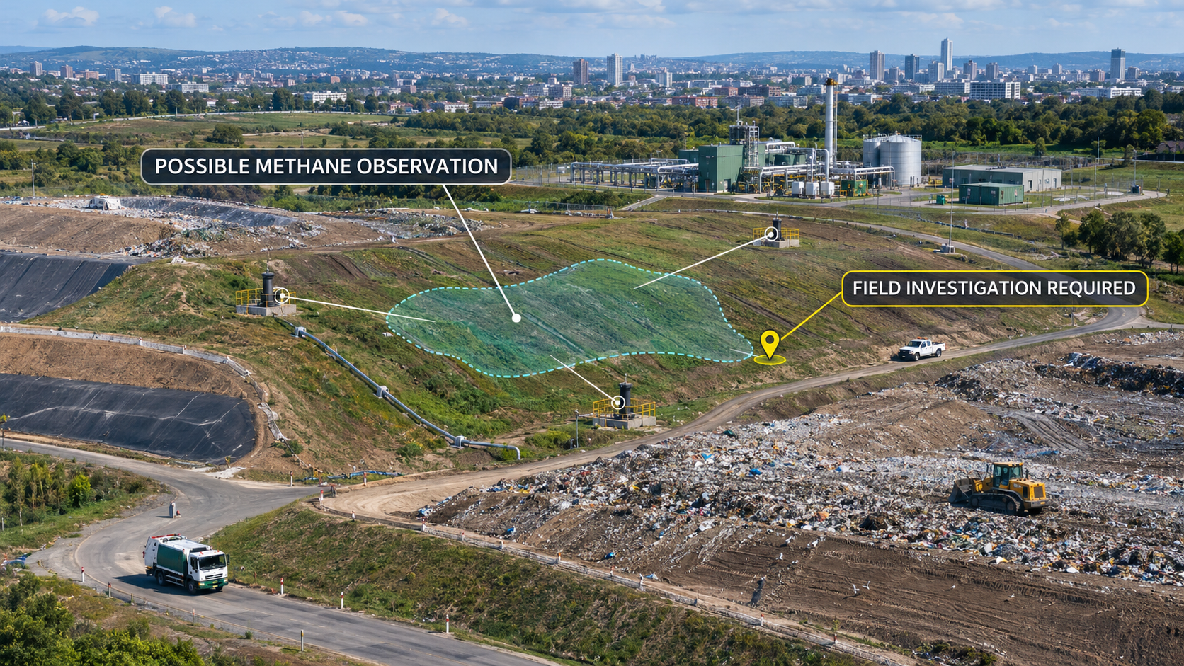
A satellite observation identifies a possible methane plume near an active landfill cell. The facility’s operations dashboard shows that its gas-to-energy plant is running.
A conventional dashboard might display both facts without explaining their relationship. A connected investigation workflow would go further:
- Record the observation. When was the plume detected, what area might it involve, and what are the measurement limitations?
- Add operational context. Were any gas wells under maintenance? Was the affected cell being excavated or covered? Were there unusual operating conditions?
- Identify candidate assets. Which wells, pipes, covers or other features are near the possible source area?
- Request the next suitable check. Can a qualified team conduct a targeted ground survey or use an appropriate methane-measurement instrument?
- Track the outcome. What did the investigation establish, what action was approved, and did follow-up evidence show a change?
The key word is candidate. A plume’s mapped position does not automatically identify a defective well or pipeline. Wind, measurement uncertainty and site conditions all matter.
The value of the spatial system is to help investigators narrow the search and preserve the reasoning not to replace engineering judgement.
What a waste infrastructure digital twin should connect
A useful digital twin for a waste facility does not have to begin with a detailed 3D model. It can begin with an operational question and the information needed to answer it.
For methane investigation, that may involve four connected layers:
1. Assets and location
A spatial register of landfill cells, gas wells, collection pipes, treatment equipment and relevant boundaries. The register should show when asset locations and conditions were last confirmed.
2. Operations
Gas collection readings, plant availability, maintenance events and work orders where these records exist and can be shared.
3. Independent observations
Satellite detections, appropriately equipped aerial surveys and ground measurements. Each observation should retain its time, method, coverage and limitations.
4. Decisions and actions
The investigation owner, findings, approvals, repair records and follow-up observations.
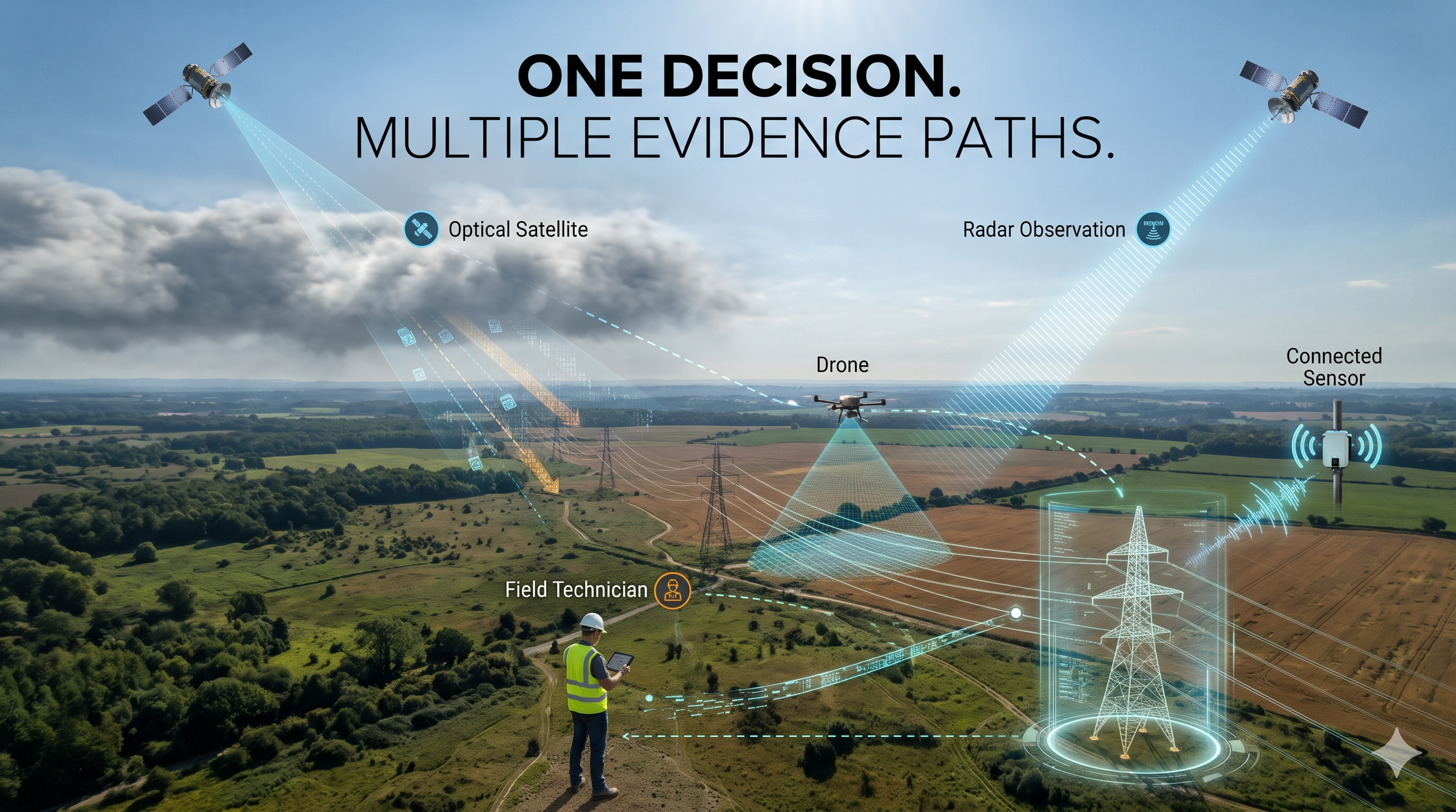
GIS provides the spatial context. Engineering drawings or BIM can add asset detail where available. IoT can provide operational measurements. Earth observation can offer another view of environmental conditions.
Their value comes from the relationships between them: what was observed, which assets may be relevant, what action followed and what evidence supports the outcome.
A satellite alert is a starting point
Satellite methane observations are valuable, but they have limits.
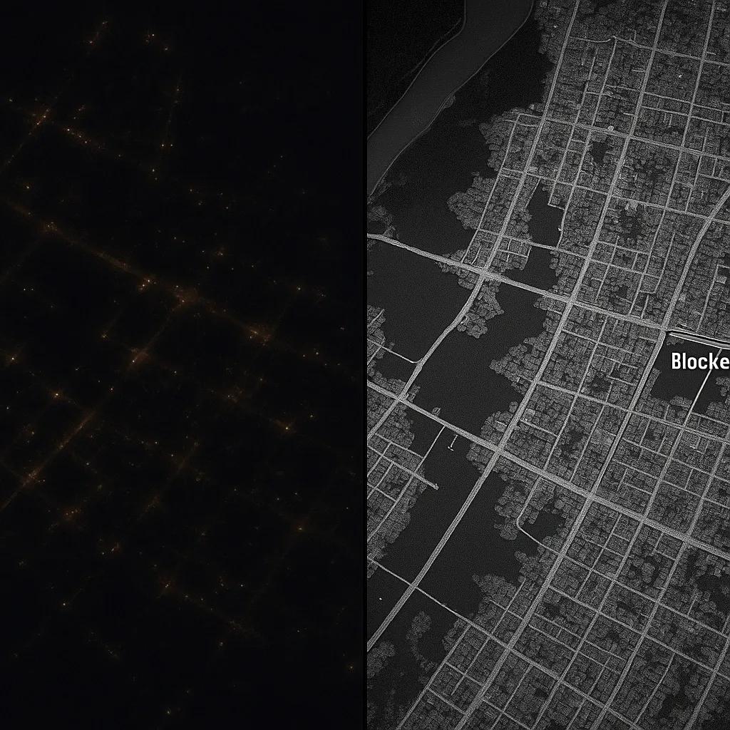
Satellites differ in their coverage and detection thresholds. Clouds and other conditions can prevent a usable observation. A missed detection does not prove that no methane was released. methanedata.unep.org
It is also important to distinguish between:
- Detecting a possible plume.
- Attributing it to a probable source.
- Estimating an emission rate under defined conditions.
- Establishing whether releases persist.
- Developing an annual emissions estimate.
- Verifying a claim against an applicable methodology.
These are related tasks, but one does not automatically complete the next.
A peer-reviewed global study of 151 waste disposal sites illustrates both the potential of satellite observations and the uncertainty involved in interpreting landfill emissions. nature.com
Cities and operators should therefore design the response around the decision. A satellite alert may justify an investigation. A defensible emissions claim requires suitable measurements, methods and qualified assessment.
Ordinary drone imagery can help document site conditions and locate assets, but it cannot independently quantify methane. That requires appropriate instruments and validated methods.
Start with one operational problem
The opportunity is unlikely to be won by proposing a single platform to digitize an entire city’s waste system at once.
A more practical starting point is one facility and one decision that already matters to its operator.
For example:
- Where should the next methane investigation take place?
- Which gas collection assets need inspection?
- Did an approved repair change the observed condition?
- Where are operational records too incomplete to explain a recurring alert?
A focused pilot can establish a baseline, connect available records, test an investigation workflow and document gaps in the evidence.
Its measures should reflect operational value: time from alert to investigation, time to locate relevant assets, completeness of investigation records, and whether follow-up checks were completed. Environmental outcomes should be assessed using methods appropriate to the claim being made.
This also requires partnership. Waste operators understand the facility. Environmental engineers and methane specialists bring measurement and verification expertise. Geospatial and digital-platform teams can help connect the observations, assets and decisions.
The opportunity for smart cities
Cities are under pressure to manage waste efficiently while demonstrating environmental progress. That makes waste infrastructure a strong candidate for a more connected form of intelligence.
The goal should be to give operators a reliable path from a question to an investigation and, where possible, to an evidenced outcome.
A landfill may have an operating gas plant. A city may have collection statistics. A report may show progress against a target.
The next step is to understand how those facts relate and what further evidence is needed before the city can be confident about the result.
Smart-city intelligence should help waste infrastructure teams see where performance is uncertain and act on that uncertainty.