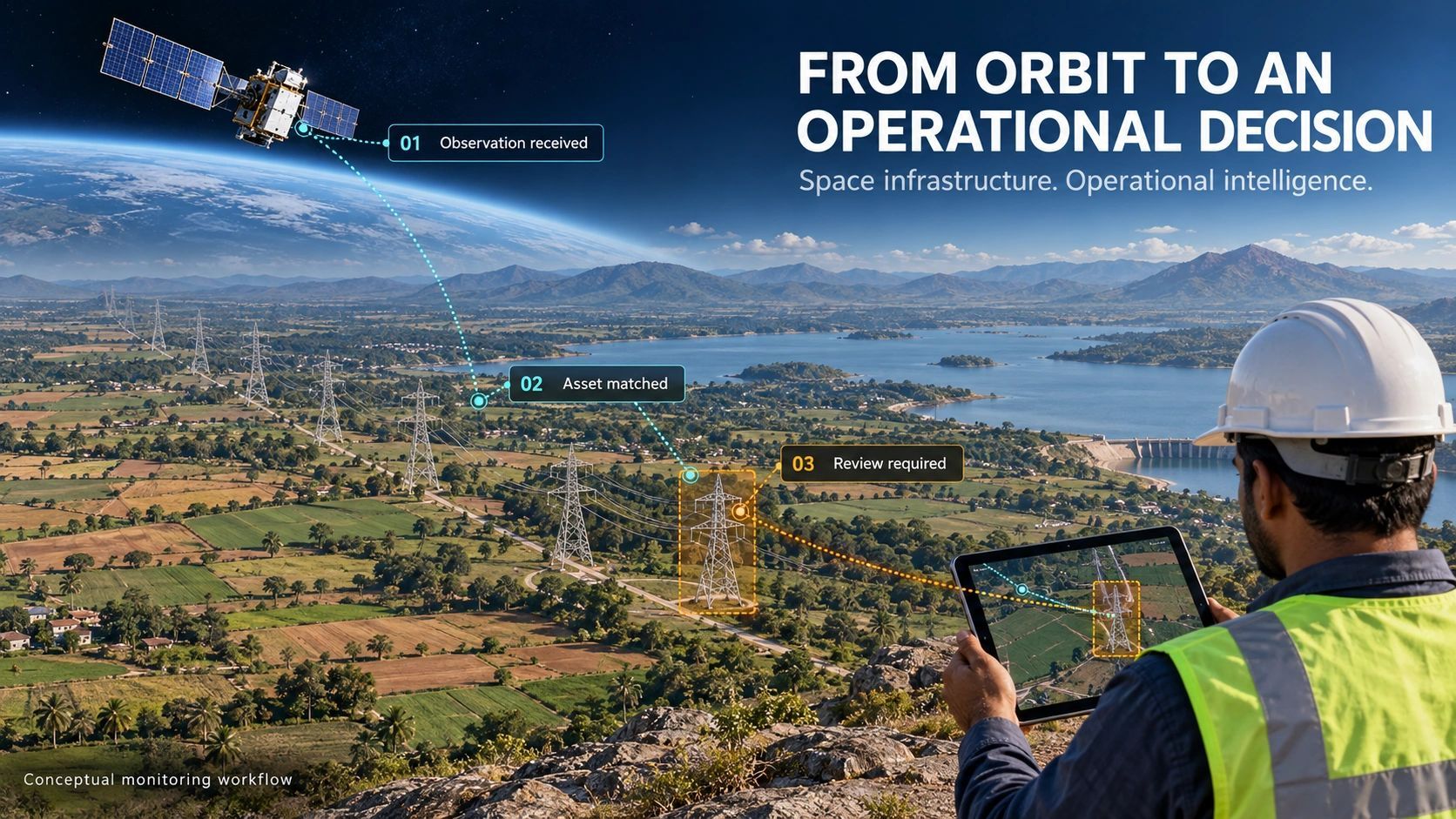
A satellite image can reveal a change across an infrastructure corridor.
The operator still needs to know which asset is affected, whether the observation is current, and whether the evidence justifies sending a team.
That gap matters as India’s private space sector develops systems intended to serve customers repeatedly over many years.
For enterprise buyers, the important question is becoming practical: Can this intelligence support a decision reliably enough to become part of everyday operations?
That is where the infrastructure test begins.
A different promise to the customer
A successful mission demonstrates a capability. A recurring service creates an obligation.
Customers begin to depend on delivery schedules, consistent quality, support and continuity. They build workflows around the information. Missing or misleading observations can then affect inspection priorities, resource allocation and response times.
There is a concrete development behind this shift. Pixxel’s January 2026 announcement describes an agreement with IN-SPACe under which its consortium with Dhruva Space, PierSight and SatSure plans to invest over ₹1,200 crore over five years in a 12-satellite Earth-observation system combining several sensing technologies. This is a deployment programme; the announcement does not establish that the complete service is already operational.
My reading is that such programmes raise expectations across the downstream industry.
As observation becomes more accessible, customers will increasingly judge providers by how consistently the information supports their work.
The missing connection is often on the ground
Consider a hypothetical electricity transmission operator monitoring a long corridor.
An observation flags a possible change near a tower. The screening result could be useful, but several questions remain.
Does the detected change intersect the correct right-of-way? Are the asset coordinates reliable? Is the observation recent enough for the decision? Has a field crew already inspected the location?
The operator may also have maintenance records, terrain information, weather data and drone surveys. Each source answers a different part of the problem.
A useful workflow connects these records while preserving their dates, limitations and disagreements.
Otherwise, the organization receives another alert that someone must investigate manually before deciding what it means.
The integration burden can quietly consume the value of better observation.
Buy a monitoring service around a decision
A buyer’s specification often starts with coverage, resolution, revisit frequency and price.
Those are necessary inputs. The specification should also describe the decision the service must support.
For a corridor operator, that might be identifying locations that deserve closer inspection before the next maintenance cycle.
For a mine operator, it could be screening changes around a defined operating boundary.
For an insurer, it might be prioritizing locations for further assessment after a reported event.
These examples have different evidence requirements. A regional screening result may be useful for prioritization while remaining insufficient for an asset-level engineering conclusion.
Procurement should make that distinction explicit.
The right question is: What can we responsibly decide from this output, and what additional evidence will we need?
Four commitments make the service assessable
I would assess an Earth-observation service against four commitments.
1. Coverage commitment
Specify the area, relevant asset classes, observation frequency and known gaps.
An opportunity to observe a location does not guarantee a usable result. Buyers need to understand what happens when an expected observation is unavailable or unsuitable.
2. Evidence commitment
Every output should retain its acquisition time, source, processing history and quality indicators.
Confidence should have an operational meaning: sufficient for screening, suitable for review, or requiring additional verification. A score without that context leaves the user to interpret its significance.
3. Workflow commitment
Define where the finding goes, who reviews it and how it connects to the organization’s existing records.
A result that cannot be matched to an asset, parcel or operating area creates avoidable work. A result with no responsible owner may sit unread.
4. Continuity commitment
Describe service interruptions, changes to processing methods, historical access and exit arrangements.
A customer building several years of monitoring history needs to know whether that history remains usable when a provider, model or commercial agreement changes.
Together, these commitments turn a promising demonstration into something an enterprise can evaluate.
Digital twins need to preserve uncertainty
This transition also changes what we should expect from a digital twin.
Adding a satellite-derived layer can improve context. Operational value depends on how the system handles the observation.
Suppose a new finding conflicts with an older asset record. The twin should expose the conflict, retain both sources and identify what needs verification.
It should also distinguish “no relevant change detected” from “insufficient usable evidence.”
Those states may look similar on a clean dashboard. They can lead to very different decisions.
An interface that displays both as green encourages confidence the evidence may not support.
The commercial opportunity extends beyond imagery
For geospatial businesses, there is an opportunity in making these services usable within specific sectors.
That work includes maintaining asset relationships, integrating observations with enterprise records, defining review thresholds and connecting findings to inspection workflows.
It requires domain understanding alongside spatial analysis.
Agriculture, energy, infrastructure and environmental monitoring have different decision cycles. A common observation platform can support them, but each application needs its own interpretation and acceptance criteria.
My view is that durable value will come from understanding those differences well enough to reduce the customer’s operating burden.
An additional dashboard has limited appeal when the customer already struggles to reconcile several systems.
Start the pilot with the operating question
A practical enterprise pilot should begin with one defined decision, a limited geography and an agreed method of checking results.
Measure the time between observation and review. Record how many findings prove useful, how many require further investigation, and how many arrive too late to influence the decision.
Track the effort required to reconcile asset identities and resolve conflicting evidence.
Keep conclusions proportionate to the pilot. A short demonstration may establish workflow feasibility without proving annual savings or long-term reliability.
This produces a stronger commercial conversation because both parties can see where the service helps and where dependencies remain.
India’s expanding space capabilities create room for more organizations to use observation as a recurring operational input.
The next responsibility sits with the businesses that turn those observations into services.
A customer should be able to explain what the intelligence supports, when it becomes unreliable, and who acts when the evidence changes.
That is the standard I would use before making it part of an essential workflow.