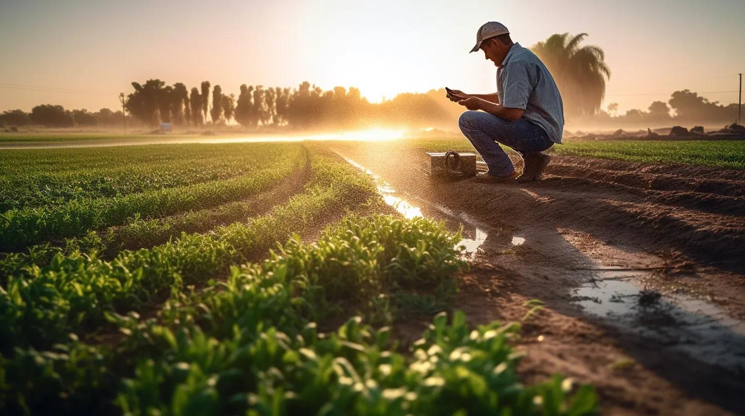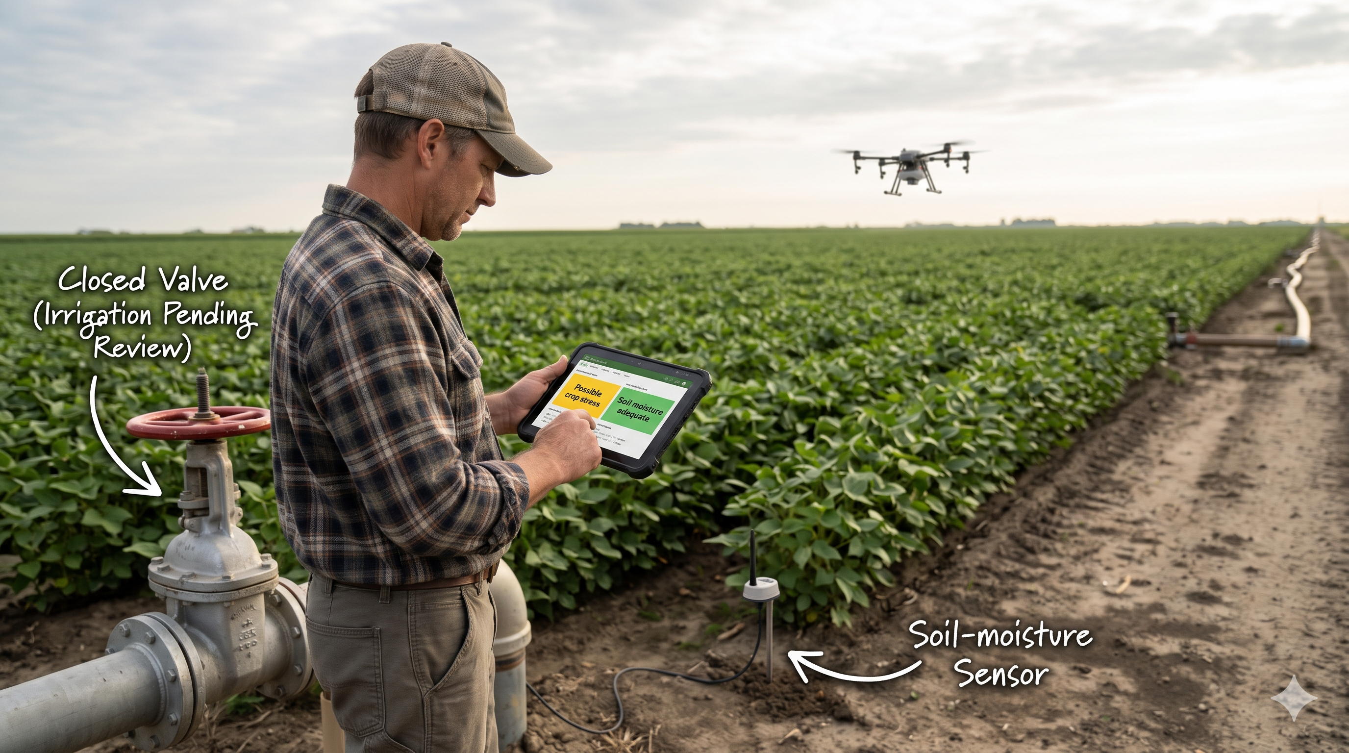
An irrigation system detects a possible problem in one part of a farm.
A satellite image suggests the crop may be stressed. A soil-moisture sensor reports adequate moisture. Rain is forecast later in the day.
The system could recommend opening a valve. But what should happen when the observations do not agree?
If the recommendation is wrong, the farmer may waste water and energy or delay irrigation when the crop needs it. The decision becomes even more significant when software can operate the equipment directly.
This is an illustrative scenario, but it highlights a practical question for any organization using AI to influence the physical world:
What evidence is sufficient for this particular action?
The value of connected observations
Agricultural water management brings together technologies that are often deployed separately: soil sensors, satellite imagery, UAVs, weather services, irrigation equipment and AI models.
A review published in Frontiers in Water examines how these technologies can support crop-water assessment, irrigation scheduling and more targeted water application. It also explains why a single measurement is rarely enough: water needs vary with crop type, growth stage, soil, weather and plant condition. www.frontiersin.org
Each observation source contributes something different.
A soil sensor can provide frequent measurements at a specific location. Satellite imagery can help identify patterns across a larger area. A UAV can investigate selected locations in greater detail. Weather information and irrigation records help explain how conditions may have changed.
Together, they can support a more informed decision. But combining them also raises a problem: different sources may tell different stories.
When the evidence disagrees
Return to the illustrative field.
The satellite observation indicates possible stress in Zone A, while the soil sensor reports adequate moisture. Several explanations are possible:
- The sensor represents a small area that is wetter than the rest of the zone.
- The satellite image was captured before the most recent irrigation.
- The sensor is faulty or needs calibration.
- The crop is under stress for a reason other than water shortage.
- The stressed area does not align neatly with the irrigation-zone boundary.
An AI system should not quietly treat these observations as interchangeable and produce a confident recommendation.
The operator needs to see what disagrees, why it may disagree, and what should happen next.
A practical first step could be to check the observation dates, sensor health, recent irrigation and the location of the sensor within the zone. If the disagreement remains, a field inspection may be appropriate. A targeted UAV survey could be useful when the area is large enough, the timing works, and the extra detail could change the decision.
This is the trade-off: more evidence has a cost, but acting too early also has a cost.
The goal is to select the next observation based on its likely value to the decision.
Three checks before action
I would structure this decision around three checks.
1. Is the evidence usable?
Before assessing what an observation means, establish whether it can be used.
When was it captured? Does it cover the area under consideration? Is the sensor functioning? Is the observation suitable for the crop and condition being assessed?
A reading can be accurate at its location and still be a poor representation of the wider irrigation zone.
2. Is the evidence sufficient?
Sufficiency depends on the decision.
A possible stress signal may be enough to trigger an inspection. It may not be enough to approve irrigation across an entire field.
The threshold should reflect the consequence of acting, the cost of waiting, the uncertainty in the observations and the available alternatives.
If the evidence is insufficient, the system should identify what information could resolve the uncertainty or send the decision for human review.
3. Is the action authorized?
A recommendation and an equipment command are different steps.
Even if the evidence supports irrigation, the system must establish whether it has permission to operate that valve, in that zone, at that time.
For an initial deployment, a farmer or designated operator can review the recommendation before action. If an organization later chooses to automate selected decisions, it can define limits for the permitted zone, application amount, operating window and conditions that require a human to intervene.
The operator should retain a clear way to stop or override the action.
Where a digital twin can help
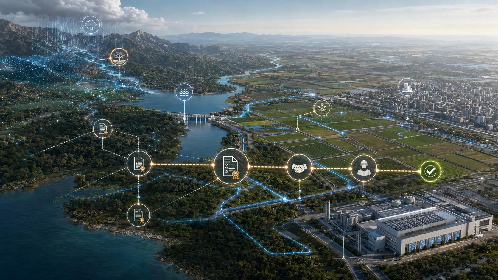
A farm digital twin can bring the relevant context together: field boundaries, crop information, soil observations, weather, irrigation history and the pumps and valves serving each zone.
Its value is in helping the operator examine a decision.
For example:
- What could happen if Zone A is irrigated now?
- What if the team waits for the forecast rain?
- Which valve serves the affected area?
- Is the proposed action consistent with available water and operating constraints?
- What needs to be checked after irrigation?
These are scenarios, not guarantees. Their usefulness depends on the data, assumptions and suitability of the model for the local crop and conditions.
The review identifies digital twins as an emerging component of agricultural water management and discusses the challenges of integrating data and systems. www.frontiersin.org For decision-makers, the important design requirement is that assumptions and uncertainty remain visible alongside the recommendation.
The decision does not end when the valve opens
Suppose the operator approves irrigation for Zone A.
The system should record the evidence behind the recommendation, the person who approved it, the intended action and what was actually carried out. A flow meter, equipment record or operator entry can help establish how much water was applied.
Follow-up observations can then show how the field responded.
That response may not be caused by irrigation alone. Rainfall, soil variation, sensor placement and other factors can affect the result. Even so, connecting the action to subsequent measurements gives the team a better basis for review.
A pilot can be evaluated against practical questions:
- Did the team identify the area that needed attention?
- Could the operator understand and challenge the recommendation?
- Was water applied to the intended zone and in the intended amount?
- What did the follow-up evidence show?
- How much time, water or energy did the process use compared with the existing approach?
The measures should be agreed before the pilot begins. Otherwise, a demonstration can produce an impressive dashboard without showing whether the decision improved.
A question for every operational digital twin
Agriculture makes the issue visible because the physical action is clear: water is applied to a field.
The same reasoning applies when an AI system recommends inspecting a transformer, dispatching a drainage crew or changing a construction sequence. Each decision has its own consequences, evidence requirements and authority limits.
The opportunity for geospatial technology is to connect observations to the place, asset and decision they concern. The responsibility is to make it possible for people to understand why an action was recommended and to check what happened afterward.
A useful operational digital twin should be able to show when it has enough evidence to recommend action, when it needs more, and who is authorized to decide.