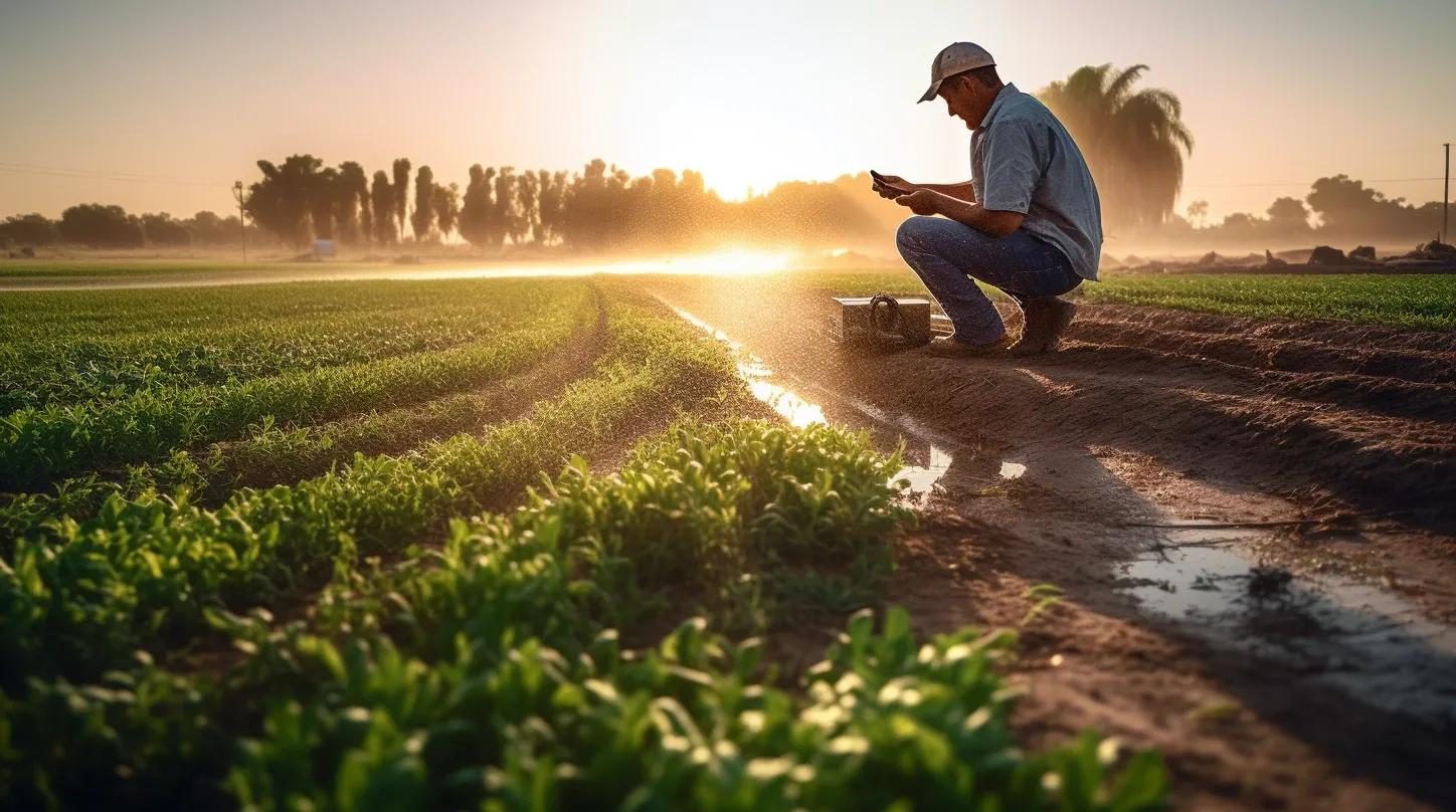
The agriculture sector is one of the largest consumers of freshwater resources, accounting for approximately 72% of global water withdrawals. As the world grapples with increasing water scarcity and climate change, there is an urgent need to make agricultural water use more sustainable. Geospatial technologies offer a promising avenue for achieving this goal. This article delves into the various ways geospatial technologies can be leveraged for sustainable water management in agriculture.
Real-Time Monitoring
One of the foundational elements of sustainable water management is real-time monitoring. Geospatial technologies, including Geographic Information Systems (GIS) and Internet of Things (IoT) sensors, can be deployed to monitor key variables such as soil moisture, water levels, and weather conditions. This real-time data can be integrated into a centralized dashboard, providing farmers and policymakers with actionable insights for immediate decision-making.
Precision Agriculture
The advent of Global Positioning System (GPS) technology has revolutionized the concept of precision agriculture. By integrating GPS with GIS, farmers can apply water and fertilizers with pinpoint accuracy. This not only minimizes waste but also ensures that crops receive the optimal amount of water, thereby maximizing yield while conserving resources.
Predictive Analytics
Machine learning algorithms can be employed to analyze both historical and real-time geospatial data. This predictive analytics capability can forecast future water needs based on past usage patterns, soil conditions, and weather forecasts. Such predictive models enable farmers to plan their irrigation schedules more effectively, reducing the risk of both overwatering and underwatering.
Remote Sensing
Remote sensing technologies, such as satellite and drone imagery, offer a bird's-eye view of agricultural lands. These images can be analyzed to assess crop health, soil conditions, and water availability. For large-scale agricultural operations, remote sensing is invaluable for monitoring vast areas efficiently and can be integrated with other geospatial data for comprehensive analysis.
Geo-Fencing for Targeted Irrigation
Geo-fencing involves creating virtual boundaries around specific areas of a field that have different water needs. Automated irrigation systems can then adjust water distribution based on these geo-fenced zones. This ensures that each section of the field receives the appropriate amount of water, reducing overall consumption and improving crop yield.
Water Quality Assessment
Beyond quantity, the quality of water is equally crucial for sustainable agriculture. Geospatial technologies can monitor the quality of water in real-time, ensuring it meets the required standards for irrigation. Additionally, these technologies can track agricultural runoff to prevent contamination of local water bodies.
Resource Allocation and Policy Implications
Geospatial data can provide invaluable insights into the spatial distribution of water resources and agricultural needs. This information is critical for policymakers who are tasked with the equitable and sustainable allocation of water resources. In regions where water is scarce, such data-driven approaches are not just beneficial but essential.
Climate Change Adaptation
Climate change poses a significant challenge to water management. Geospatial technologies can help in understanding how changing weather patterns and climatic conditions are affecting water availability. This data can be used to develop long-term strategies and climate-adaptive practices for sustainable water management.
Supply Chain Optimization
Understanding water usage at different stages of the agricultural supply chain can lead to more efficient and sustainable practices. Geospatial technologies can track water consumption from the field to the final product, providing a holistic view that can be used for optimization.
Public Awareness and Engagement
Interactive geospatial platforms can serve as educational tools for raising public awareness about water conservation. These platforms can display real-time data on water usage patterns, watershed conditions, and the impact of various conservation measures, thereby engaging the community in sustainable practices.
In conclusion, geospatial technologies offer a multifaceted approach to sustainable agricultural water management. From real-time monitoring and precision agriculture to predictive analytics and policy formulation, these technologies provide the tools needed to make informed decisions. As water scarcity and climate change continue to challenge global agriculture, the integration of geospatial technologies into water management practices is not just an innovation but a necessity.
Given the increasing importance of sustainable practices, organizations specializing in geospatial solutions have a significant role to play in shaping the future of agricultural water management. By integrating these technologies into their offerings, they can contribute to a more sustainable and water-efficient world.
Reference
https://www.statista.com/chart/31038/agricultural-water-withdrawal-share-of-total-renewable-water-resources/?utm_source=Statista+Newsletters&utm_campaign=34707b4bbd-All_InfographTicker_daily_COM_AM_KW42_2023_Mo&utm_medium=email&utm_term=0_662f7ed75e-34707b4bbd-351304766