Most infrastructure monitoring starts with the asset.
Inspect the bridge. Survey the road. Instrument the dam. Fly the pipeline corridor. Scan the building.
But what if the first thing we monitored was not the asset itself?
What if we monitored the ground beneath it?
That is the shift becoming possible with Interferometric Synthetic Aperture Radar, or InSAR.
InSAR is not a new technology. It has been used for years to measure earthquakes, volcanoes, subsidence, landslides and groundwater-related deformation.
What is changing now is its operational context.
With the Sentinel-1C and Sentinel-1D constellation now providing a nominal six-day repeat cycle, freely available radar observations are becoming more useful for persistent, large-area deformation monitoring.
The important story is therefore not simply that “InSAR is improving.”
It is that satellite deformation monitoring is becoming an infrastructure observability layer.
InSAR does not photograph movement. It measures it.
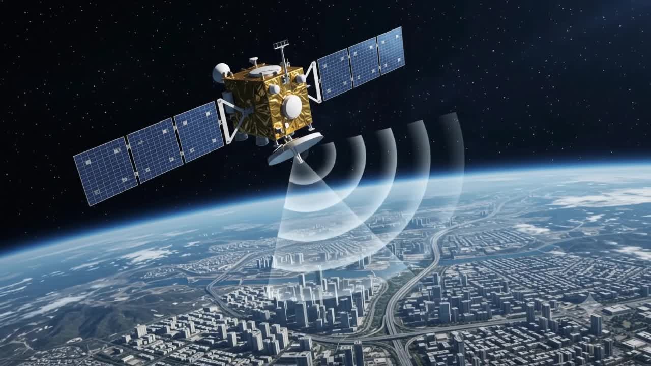
Synthetic Aperture Radar satellites actively transmit microwave signals toward the Earth and measure the returning signal.
Unlike optical imagery, radar can operate through clouds, smoke and darkness.
InSAR goes one step further.
It compares the phase information from radar observations acquired at different times. Very small changes in the distance between the satellite and the ground can produce measurable phase differences.
With appropriate processing, this makes it possible to derive millimetre-scale displacement trends from coherent targets.
But there is an important distinction.
Modern operational InSAR is not usually about comparing only two images.
Techniques such as Persistent Scatterer Interferometry and other multi-temporal approaches analyse long sequences of radar observations to estimate displacement histories.
That is what makes InSAR valuable for infrastructure.
A single observation tells us little.
A deformation trend tells us much more.
And an accelerating deformation trend can become a reason to investigate.
This is no longer just a research capability
Europe already operates large-scale ground-motion services based on Sentinel-1 observations.
The European Ground Motion Service processes radar data systematically to provide ground-displacement information across large geographic areas.
Norway has also implemented national-scale InSAR monitoring.
India is moving in the same direction. InSAR-based monitoring has been introduced for landslide-risk assessment along parts of the Char Dham road network in Uttarakhand.
These are important signals.
The technology has moved beyond laboratory experimentation.
The more interesting question now is:
How should infrastructure organizations operationalize the information?
The strongest use case may not be monitoring one asset
Imagine managing thousands of kilometres of highways, pipelines, rail corridors or utility networks.
Traditional monitoring is expensive because detailed inspection has to be targeted somehow.
This is where InSAR changes the workflow.
Instead of beginning with:
Which asset should we inspect?
we can begin with:
Where is abnormal movement occurring?
Then connect that movement to the infrastructure located there.
The emerging workflow starts to look like this:
Satellite observation
↓
Deformation time series
↓
Anomaly or acceleration detection
↓
Asset intersection
↓
Risk prioritization
↓
Targeted field investigation
That changes the economics of monitoring.
InSAR does not necessarily replace UAVs, LiDAR, GNSS, IoT sensors or engineering inspection.
It can tell us where those resources should be deployed first.
Think of InSAR as the outer monitoring layer
Consider a pipeline stretching thousands of kilometres.
Instrumenting every part of the surrounding terrain is unrealistic.
But the terrain itself may be moving.
Slow landslides, subsidence, erosion or geotechnical instability can progressively increase stress on the pipeline.
Satellite-based deformation monitoring can screen the full corridor.
If a section begins moving differently from its historical behaviour, that location can be escalated.
A UAV may then perform high-resolution inspection.
GNSS or local sensors may be installed.
Engineers may assess the geotechnical significance.
The same concept applies to bridges, tunnels, embankments, dams, mining areas and urban infrastructure.
The value is not simply millimetre measurement.
The value is progressive narrowing of uncertainty.
The Digital Twin becomes more useful when movement becomes historical context
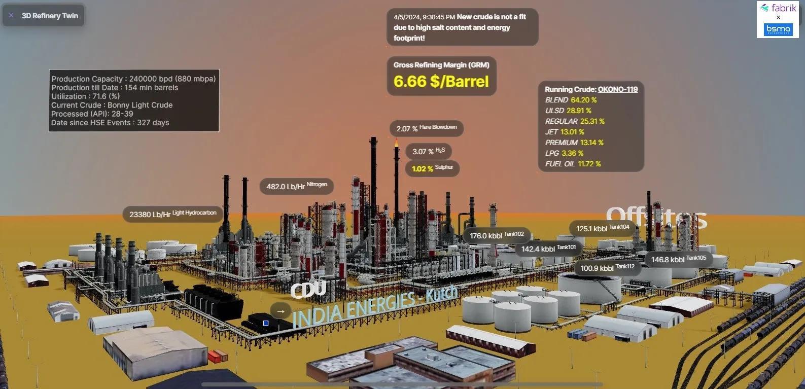
This is where InSAR becomes especially relevant to Digital Twins.
Most Digital Twins describe:
- where an asset is,
- what it contains,
- what sensors are reporting,
- and sometimes how it is expected to behave.
InSAR introduces another dimension:
How has the physical environment around the asset moved over time?
That could become a deformation-history layer inside the Twin.
Imagine selecting a bridge pier and seeing:
- BIM geometry,
- inspection history,
- IoT readings,
- nearby groundwater changes,
- recent construction activity,
- deformation velocity,
- displacement history,
- and current movement anomalies.
Now the Twin is no longer only describing the asset.
It is describing the relationship between the asset and the changing ground supporting it.
This integration is already beginning to appear in research and pilot deployments involving InSAR, structural models, sensors, Web GIS and Digital Twin environments.
But this is still an emerging operational area.
The measurement technology is mature.
The integrated decision architecture is still evolving.
There are limits we should not ignore
InSAR is powerful, but not universal.
Radar coherence can degrade over vegetation, agricultural land, water, snow or rapidly changing surfaces.
Satellite viewing geometry matters.
Some structures may be affected by shadow or layover.
Atmospheric effects have to be corrected.
And millimetre-scale sensitivity does not mean every individual measurement has perfect millimetre accuracy.
Most importantly:
movement is not the same as failure.
A structure may move because of thermal expansion, groundwater variation, settlement or other normal processes.
InSAR can reveal unusual or accelerating behaviour.
It cannot automatically tell us that a bridge, dam or building is about to fail.
That still requires engineering interpretation.
So I would not see InSAR as a replacement for ground instrumentation.
I would see it as the wide-area screening layer above it.
The real architecture is becoming hierarchical
The future monitoring stack may look something like this:
Satellite layer Continuously screen large areas.
Spatial intelligence layer Identify abnormal deformation.
Asset layer Determine what infrastructure is exposed.
Risk layer Prioritize assets and locations.
Reality-capture layer Deploy UAVs, LiDAR, terrestrial scanning or GPR where necessary.
Sensor layer Install higher-frequency instrumentation for critical locations.
Digital Twin layer Combine geometry, movement, sensors and inspection history.
Engineering layer Determine significance and required intervention.
This is far more powerful than saying:
“We monitor your bridge.”
The proposition becomes:
“We monitor the changing physical environment around your infrastructure and tell you where attention is required.”
My GeoThinking view
The major shift is not that satellites can suddenly detect millimetres of movement.
They have been doing that for years.
The shift is that deformation intelligence is becoming easier to operationalize.
Satellite observations are becoming more frequent.
Processing pipelines are becoming industrialized.
National ground-motion services are emerging.
Asset inventories are becoming digital.
Digital Twins are becoming operational platforms rather than visualization models.
AI can then sit above the deformation history not to perform the interferometry itself, but to identify unusual behavior, correlate movement with assets and prioritize investigation.
That creates an important new possibility.
Infrastructure monitoring could move from:
inspect everything periodically
to:
observe everything broadly, detect change, investigate selectively.
And that may be the real significance of InSAR for infrastructure.
The Earth is constantly moving.
Until recently, much of that movement remained operationally invisible.
Now we are beginning to make it measurable, spatially connected and actionable.
The next step is not simply to map deformation.
It is to connect deformation to assets, risk, engineering judgement and intervention.
That is when satellite observation becomes operational intelligence.