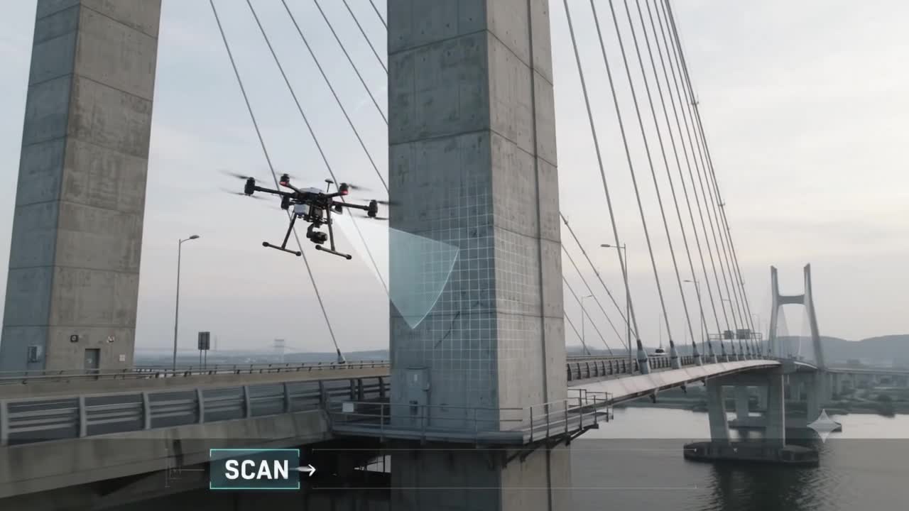
For years, drones in construction and infrastructure have mostly been observers.
They map sites. Capture imagery. Build point clouds. Inspect façades. Measure stockpiles. Monitor progress. Feed Digital Twins.
In other words, they help us understand physical reality.
But a different class of aerial robotics is starting to explore a more consequential role:
What if the drone could physically change the asset it has just inspected?
That is the idea behind Aerial Additive Manufacturing, or Aerial-AM.
And unlike many futuristic construction concepts, the basic technology has already been demonstrated.
The important distinction is this:
We are not yet at the stage where autonomous drone swarms are constructing commercial buildings.
But we have reached the stage where flying robots can autonomously deposit material, measure what they have produced, compare that result with the intended geometry, and correct subsequent actions.
That changes the conversation.
From reality capture to reality intervention
Most of today’s digital infrastructure workflows are still fundamentally read-only.
A drone captures the condition.
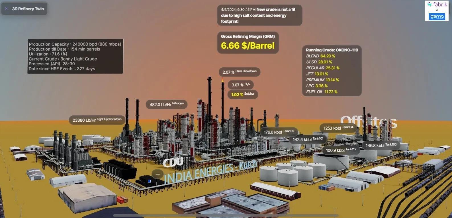
A Digital Twin represents the condition.
AI identifies the deviation.
A human decides what to do next.
The physical intervention happens separately.
Aerial-AM starts to close that gap.
Researchers have demonstrated aerial robots capable of carrying extrusion systems and depositing material while flying.
In one landmark research programme, two roles were developed:
BuilDrones deposited material.
ScanDrones measured the geometry that had just been produced.
The scan was then used to identify manufacturing deviation and adjust subsequent deposition.
That means the workflow was no longer simply:
design → manufacture
It became:
design → manufacture → measure → correct → manufacture again
That feedback loop is important.
Because the real significance of Aerial-AM may not be that drones become flying 3D printers.
It may be that construction becomes increasingly observable during execution.
What has actually been demonstrated?
This field needs careful framing.
Researchers have already demonstrated aerial deposition using polymer-based materials and cementitious materials.
They have shown autonomous trajectory following.
They have demonstrated scanning during the manufacturing process.
They have developed multi-robot planning and task allocation approaches.
They have also achieved deposition accuracy measured in millimetres under controlled experimental conditions.
So Aerial-AM is no longer only a conceptual idea.
But neither is it a mature construction technology.
The structures demonstrated so far are small compared with buildings or major infrastructure assets.
Payload remains limited.
Flight endurance remains constrained.
Material delivery is difficult.
Wind and turbulence affect manufacturing accuracy.
Outdoor localization remains challenging.
Certification becomes much harder when an aircraft is also a construction robot.
And structural performance must ultimately satisfy the same engineering expectations we impose on conventional construction.
This is why the next phase matters.
The laboratory is beginning to move toward infrastructure
Research facilities such as Empa’s DroneHub in Switzerland are now creating more realistic environments for aerial construction and repair.
Instead of testing only in ideal indoor conditions, researchers can expose aerial robots to actual walls, building interfaces, turbulence and outdoor operating conditions.
That shift is significant.
The research question is changing from:
Can a flying robot deposit material?
to:
Can a flying robot perform useful physical work reliably around real infrastructure?
That is a much harder problem.
And probably a much more commercially relevant one.
The near-term opportunity may not be building construction
The most obvious vision is dramatic:
A swarm of drones arrives at a site and prints an entire structure.
Technically fascinating.
Commercially, probably not the first major use case.
Ground-based construction robots can carry much larger payloads, operate for longer periods and consume less energy for equivalent manufacturing work.
Aerial robots become interesting where access itself is expensive, dangerous or difficult.
Think about:
high-rise façades,
bridge components,
towers,
industrial plants,
wind-energy assets,
confined structures,
remote infrastructure,
post-disaster environments.
If a repair requires only a small quantity of material but reaching the location normally requires scaffolding, rope-access teams, cranes or shutdowns, the economics begin to change.
The value of the drone is not primarily the amount of material it carries.
The value is the access problem it removes.
That suggests a more realistic evolution:
inspect → diagnose → intervene → verify
rather than:
print the entire building from the air.
This is where Digital Twins become more interesting
There is a temptation to say that the drone simply reads a BIM model and prints what it sees.
We are not there yet.
Today's experimental systems operate from digital geometry, manufacturing paths and robotic planning systems.
A seamless industrial pipeline from IFC or BIM directly into autonomous aerial construction is still emerging.
But the architectural direction is clear.
Imagine a future asset workflow:
A drone scans a façade.
A Digital Twin identifies a geometric or material deviation.
An engineering workflow determines the required intervention.
The repair geometry becomes a machine-executable manufacturing instruction.
An aerial robot deposits the repair material.
A second sensing pass measures what was actually produced.
The Digital Twin records the new condition.
Now the twin is no longer only documenting reality.
It is participating in a closed intervention loop.
That raises a new set of questions.
The difficult problem may become evidence
Once robots can modify infrastructure autonomously, accuracy alone is not enough.
We will need to know:
Which asset was modified?
Which defect triggered the intervention?
Which digital model was authoritative?
Which repair geometry was approved?
Which material batch was used?
Where was the material actually deposited?
What environmental conditions existed during execution?
What deviation occurred from the intended geometry?
Who authorized the intervention?
Did the final result satisfy engineering tolerance?
Was the Digital Twin updated after verification?
This turns aerial construction into an evidence problem as much as a robotics problem.
Because once software begins causing physical change, we need a reliable record linking:
intent → authority → execution → verification
That evidence chain could become more valuable than the visualization itself.
Swarms make the governance problem larger
The longer-term vision involves multiple drones working together.
One robot may manufacture.
Another may scan.
Another could supply material.
Another could inspect the finished work.
Research has already demonstrated elements of multi-agent coordination and distributed task allocation.
But large autonomous construction swarms remain a research direction.
And scaling the number of robots introduces another challenge:
coordination is not the same as authority.
A swarm may technically know which drone should act next.
But an operational system must also know whether that action is permitted.
Construction autonomy will therefore require more than path planning.
It will require rules, identity, safety constraints, engineering approval, spatial boundaries and traceable responsibility.
The more autonomous the execution becomes, the more important that governance layer becomes.
This is not the end of reality capture
It is the next layer above it.
Reality capture tells us:
What exists?
Digital Twins help us understand:
What should exist?
AI can increasingly identify:
What has changed?
Aerial robotics may eventually allow infrastructure systems to ask:
What physical intervention should happen next?
And then execute part of that intervention.
That transition will not happen everywhere.
Ground robots will remain better for many tasks.
Human crews will remain essential.
Aerial-AM still faces substantial engineering and regulatory barriers.
But the direction is worth watching.
Because infrastructure technology is beginning to move from systems that merely observe the physical world toward systems capable of acting on it.
For GeoThinking, that creates a deeper question.
The future Digital Twin may not simply need to represent the latest state of an asset.
It may need to preserve the full evidence of why the physical state was changed, who authorized it, how the intervention was executed, and whether the result was verified.
That is the point where the Digital Twin stops being just a mirror.
It becomes part of the intervention loop.
GeoThinking Takeaway
Aerial Additive Manufacturing is still early, but the important shift is already visible: drones are beginning to move from reality capture toward controlled physical intervention.
The near-term opportunity is unlikely to be autonomous swarms printing entire buildings.
It is more likely to emerge in high-value, hard-to-access inspection and repair workflows where sensing, intervention and verification can be connected into one trusted operational loop.
And when that happens, the critical infrastructure layer may not be the flying printer itself.
It may be the spatial evidence system that proves the right intervention happened, at the right place, under the right authority, and produced the right physical result.