For years, reality capture has faced an uncomfortable trade-off.
If we want geometric precision, LiDAR gives us dense, metrically reliable point clouds.
If we want something visually intuitive, photogrammetry gives us textured 3D models that people can more easily understand.
But neither is ideal.
Photogrammetric meshes can take significant processing time and struggle with repetitive or texture-poor surfaces and thin objects.
LiDAR point clouds are precise, but to many asset managers, maintenance teams and decision-makers, they still look like what they are:
millions of points.
Now another representation is entering this conversation.
3D Gaussian Splatting.
And the interesting question is not whether it can produce beautiful 3D scenes.
It can.
The more important question is:
Can we make those scenes trustworthy enough for engineering?
From Photorealism to Spatial Evidence
3D Gaussian Splatting, or 3DGS, represents a scene using millions of small 3D Gaussian primitives rather than conventional polygonal surfaces.
Each Gaussian carries properties such as position, orientation, opacity and appearance.
The result can be striking.
Complex environments can be rendered photorealistically and interactively, while the underlying representation can be trained considerably faster than earlier neural-rendering approaches such as NeRF.
But there is an important distinction.
Looking real is not the same as being spatially authoritative.
Vanilla Gaussian Splatting was primarily developed for novel-view synthesis.
An engineer needs something more.
Where exactly is that valve?
What is the clearance beneath that pipe?
Has this surface moved?
Can this observation be aligned with the BIM model?
Can a maintenance record be attached to the correct physical component?
Can tomorrow's scan be compared reliably with today's?
Those questions require coordinate systems, scale, geometry and asset identity.
This is where LiDAR changes the equation.
LiDAR Can Give the Gaussian Field a Spatial Backbone
Instead of constructing the Gaussian scene primarily from sparse Structure-from-Motion points, emerging approaches can use georeferenced LiDAR measurements to initialize and constrain the Gaussian representation.
That changes its role.
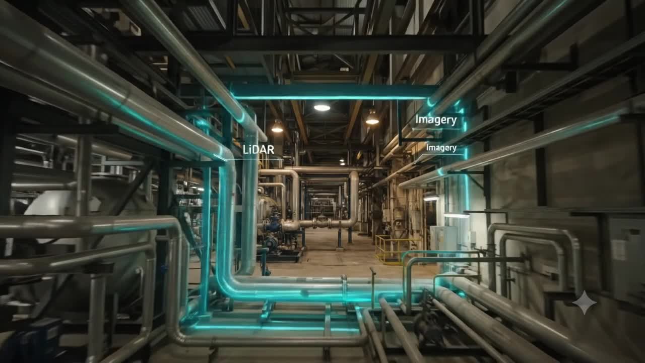
LiDAR provides the geometric reference.
Imagery provides the visual richness.
Gaussian Splatting provides the interactive representation.
The combination begins to address one of the biggest weaknesses of purely visual reconstruction.
On an asphalt road, concrete wall, storage tank or tunnel lining, imagery may contain insufficient texture to reconstruct geometry reliably.
LiDAR already knows where the surface is.
Those depth measurements can constrain where Gaussians should exist and how they should be oriented, reducing floating artefacts and unstable surfaces.
More importantly, the scene can be tied to a project coordinate system.
Suddenly the Gaussian environment is not simply something we can look around.
It has a relationship with physical space.
That is the more consequential shift.
But a Digital Twin Needs More Than Coordinates
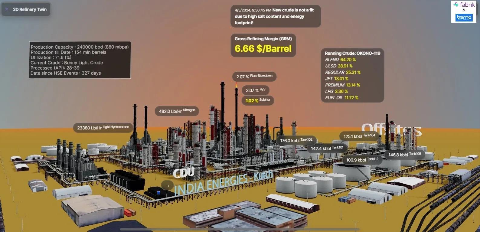
Suppose we capture an industrial plant.
We now have a photorealistic, georeferenced Gaussian representation.
A user clicks on a valve.
What happens?
If the system only returns a coordinate, we still have a sophisticated visualization system.
An operational Digital Twin needs to understand:
This is Valve V-204.
It belongs to this process line.
It corresponds to this BIM object.
This sensor reports its current condition.
This maintenance record belongs to it.
This work order is open against it.
This is where Gaussian Splatting needs to meet BIM, GIS and asset semantics.
Computer-vision segmentation can help identify visual regions in images and lift those classifications into the Gaussian representation.
Spatial alignment can then associate Gaussian clusters with IFC/BIM components.
The visual scene gains another layer:
identity.
And once identity exists, something interesting happens.
The photorealistic environment can become an interface to enterprise information.
An engineer does not necessarily need to navigate a BIM hierarchy, GIS database, IoT dashboard and maintenance system separately.
They can navigate the physical environment itself.
Click the pump.
See its telemetry.
Inspect its maintenance history.
Compare it with the design condition.
Review the latest field observation.
The scene becomes an interface to evidence.
The Bigger Opportunity Is the Inspection Loop
This becomes particularly interesting for infrastructure and brownfield facilities.
Imagine a UAV capturing oblique imagery together with RTK-positioned LiDAR.
Instead of waiting for a heavy conventional reconstruction workflow, a LiDAR-constrained Gaussian environment is generated rapidly.
An AI system flags possible concrete spalling on a bridge pier.
But the AI does not automatically declare a defect.
The asset manager opens the photorealistic spatial environment.
They inspect the suspected location.
They compare it with previous evidence.
They confirm that intervention is required.
Because the observation is spatially associated with the asset, a work order can be generated against the relevant component.
The maintenance team receives the location.
The repair is completed.
Then comes the part that I think matters most.
The site is captured again.
The new observation is registered against the previous spatial state.
Now the system does not merely say:
“Work order closed.”
It can ask:
Did physical reality actually change as expected?
That creates a much more meaningful operational loop:
Observe → Understand → Prioritize → Decide → Assign → Act → Verify
The Digital Twin stops being simply a representation of the asset.
It becomes part of the evidence chain around a decision.
We Should Also Be Careful About What Gaussian Splatting Is Not
There is a temptation with every new 3D technology to declare the previous representation obsolete.
That would be premature here.
Gaussian splats do not naturally behave like traditional CAD boundary representations.
Engineers still need explicit surfaces, topology, dimensions and parametric objects.
GIS still needs structured geometries and spatial relationships.
BIM still needs semantic components.
LiDAR point clouds remain valuable measurement records.
Gaussian Splatting does not necessarily replace these representations.
Its near-term value may be as a high-fidelity visual and spatial layer alongside them.
That distinction matters.
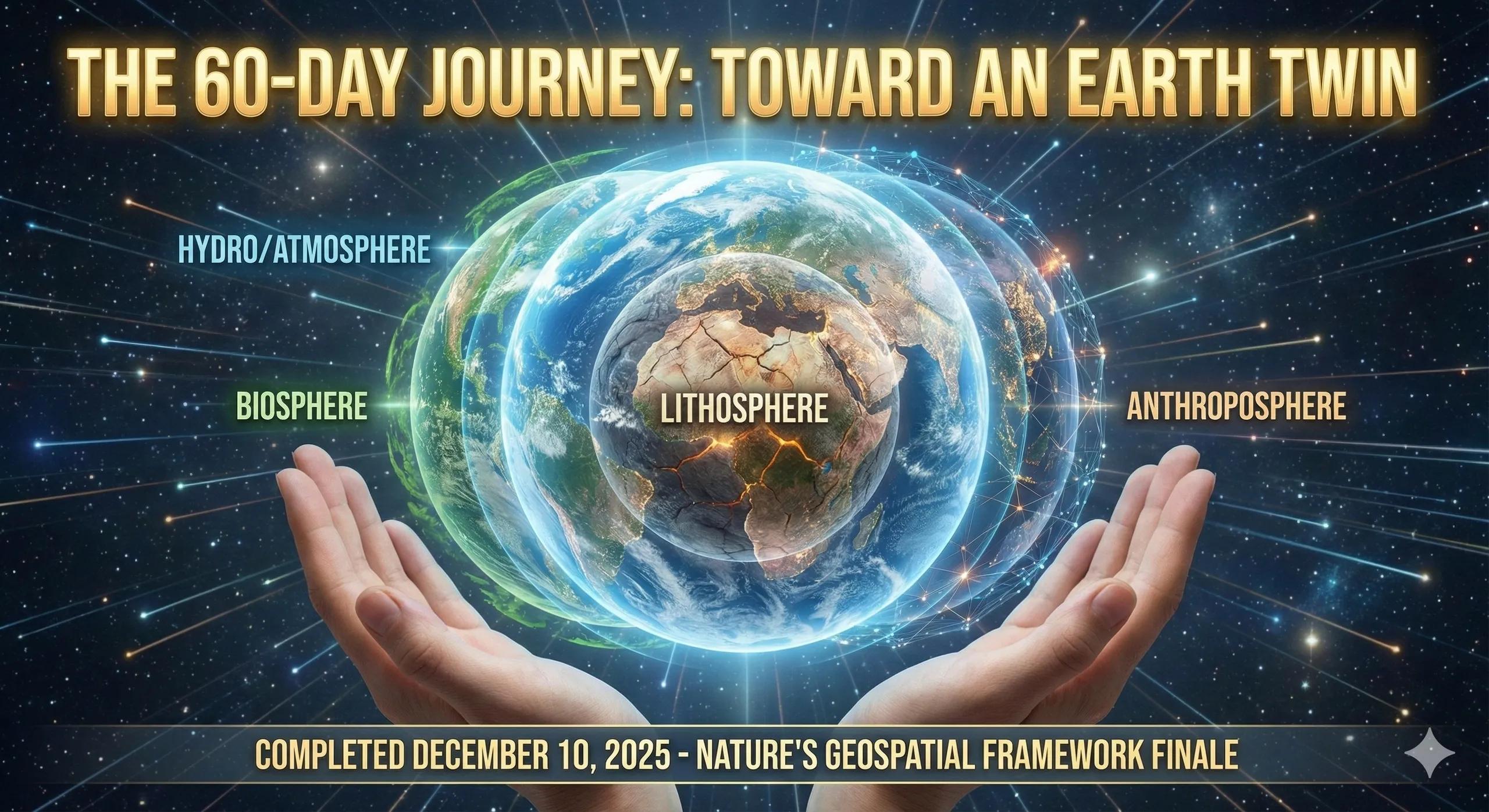
The future engineering Digital Twin may not have one canonical 3D representation.
It may have several.
BIM for design intent and asset semantics.
GIS for spatial context.
LiDAR for measured geometry.
IoT for operational state.
Gaussian Splatting for photorealistic visual evidence.
Each answers a different question.
The intelligence lies in connecting them.
The GeoThinking Lens
This is why I find LiDAR-guided Gaussian Splatting more interesting than Gaussian Splatting by itself.
The breakthrough is not simply better 3D rendering.
It is the gradual convergence of measurement, visual evidence, spatial reference and asset identity.
A beautiful digital environment may help us see an asset.
A georeferenced environment may help us locate it.
A semantically connected environment may help us understand it.
But an operational system must go one step further.
It must help us decide what to do and later provide evidence that what we did actually changed the physical world.
That is a much higher bar for a Digital Twin.
And perhaps a much more useful one.
The question is no longer: How realistically can we reproduce the physical world?
It is:
How reliably can that representation participate in decisions about the physical world?