A city completes a drainage upgrade.
The pipes are installed. The contractor submits the handover documents. The project is marked complete, and the investment is reported as a climate-resilience success.
Then the next monsoon arrives.
Several roads remain flooded. One neighborhood drains faster, while another experiences deeper water. A pump stops working during the storm.
Was the project successful?
The answer requires more than a completion certificate. It requires evidence of what changed on the ground, under what conditions, and for whom.
COP31, taking place in Antalya from 9–20 November 2026, has put implementation and measurable outcomes at the center of its Action Agenda. That emphasis creates an opportunity to ask a question that should follow every climate investment:
How will we know whether the intervention delivered the physical outcome it was intended to achieve? COP 31
This question matters to governments and funders, but also to the people who maintain infrastructure and live with its consequences.
Completing the work is one milestone
Climate programmes often report progress through activities and outputs:
- Funding committed or disbursed.
- Drainage channels constructed.
- Trees planted.
- Methane-capture equipment installed.
- Coastal protection structures completed.
These measures matter. They show whether planned work has moved forward.
But each describes a different stage from the intended outcome.
A drainage channel can be built without improving performance at a critical flooding location. Trees can be planted without surviving. Methane-capture equipment can operate while emissions continue elsewhere on the site.
A useful assessment should therefore keep four questions distinct:
- What was promised?
- What was delivered?
- What physical change was observed?
- How much confidence do we have that the intervention contributed to that change?
The fourth question is especially important. Observing a change does not, by itself, explain what caused it.
A flood project illustrates the gap
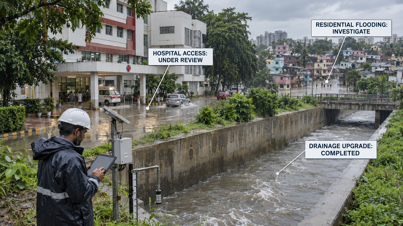
Consider an illustrative drainage project designed to reduce flooding around a hospital and two nearby residential areas.
Before construction, the city records:
- Locations and duration of flooding.
- Rainfall intensity and duration.
- Drainage asset condition.
- Pump operating status.
- Access disruptions at the hospital.
- Reports from affected residents.
After the upgrade, the same locations are monitored during subsequent rainfall events.
Suppose water clears more quickly around the hospital, but one residential area still floods. That finding is more useful than a single citywide “project completed” indicator: it tells the team where the intervention appears to be helping and where further investigation is needed.
The next decision might be to inspect a blocked connection, check pump performance or assess whether water is being redirected downstream.
But the comparison also needs context. If the post-project rainfall was much lighter than the earlier storm, faster drainage alone would be weak evidence of improved resilience. If a major storm has not occurred since construction, the team may be able to report that the system is operational while stating that its performance under severe conditions remains untested.
That is a valid finding. Decision-makers need to know what the available evidence supports and what it does not.
The role of geospatial evidence
Geospatial technology can help connect a climate intervention to the places and assets it is intended to affect.
For the drainage example:
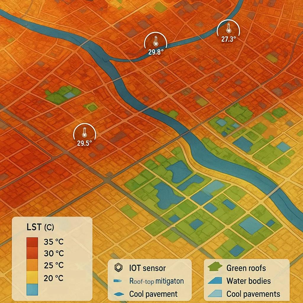
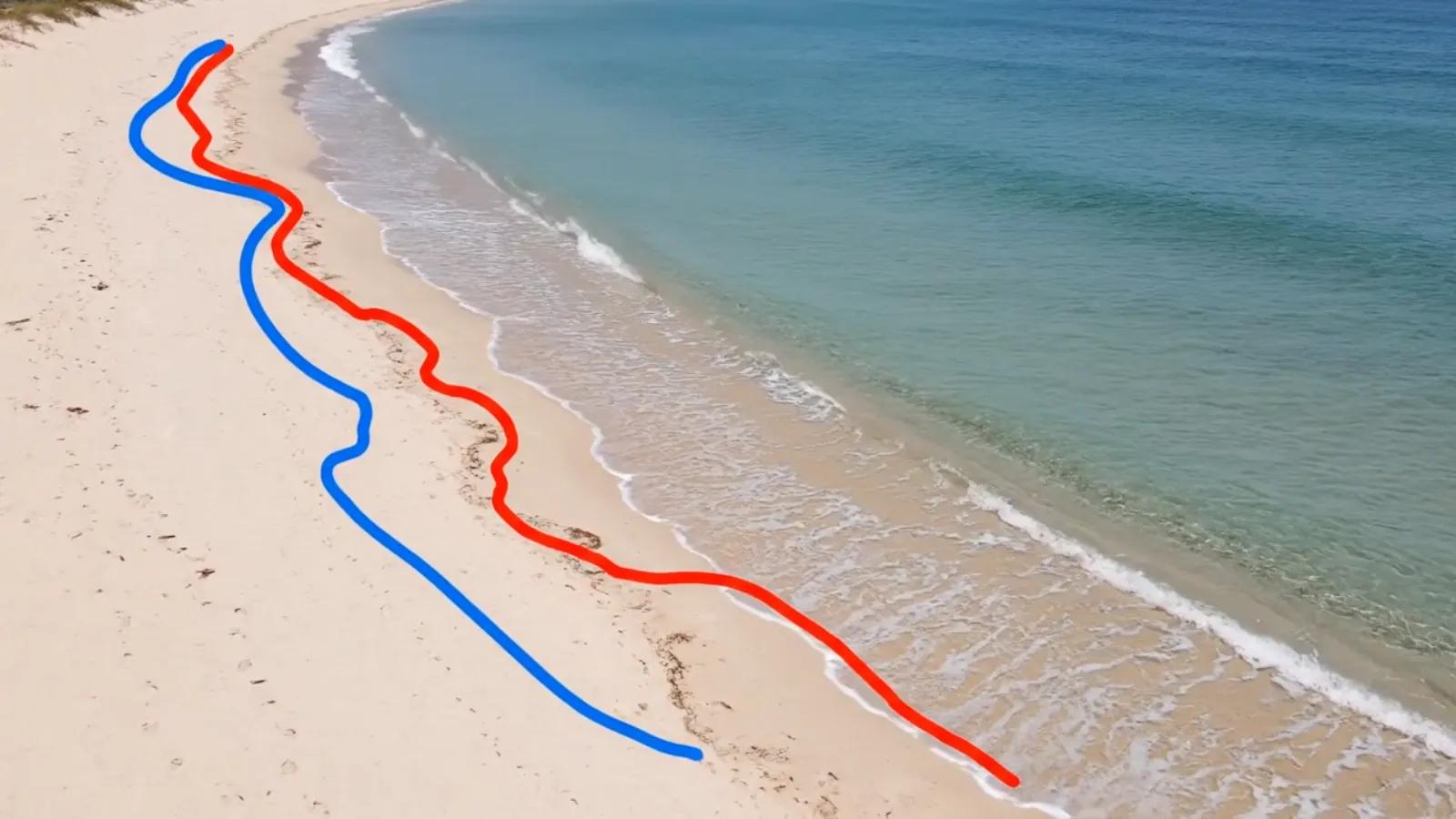
- Satellite imagery can help identify changes in land cover and, where suitable observations are available, the broad extent of inundation.
- UAV surveys can document local drainage conditions, obstructions and visible infrastructure changes.
- IoT sensors can record water levels, rainfall or equipment status at selected locations.
- GIS and asset records can connect those observations to drains, pumps, roads and affected facilities.
- Field inspections and community reports can add detail that remote observations may miss.
Each source has limits. A sensor describes conditions at its location; an image is a record of a particular time and has its own resolution and visibility constraints. A resident’s report may identify a problem quickly, while still requiring confirmation of its extent or cause.
The value comes from combining these sources around a defined question. For example: Did the upgrade reduce the duration of flooding at the hospital access road during comparable rainfall events?
That question guides what to measure, where to measure it and when another observation is needed.
A practical outcome-evidence chain
A climate project can establish an evidence chain before construction begins:
Promised outcome → Baseline → Intervention → Observation → Assessment → Decision
For each link, the project team should record:
1. The outcome and its boundaries: What physical change is expected, where, by when and for whom? “Improved drainage” is difficult to assess. A target for flood duration at a named access road is more specific.
2. The baseline: What was known before the intervention? Include the measurement period, relevant weather conditions, locations, data gaps and uncertainty. Where a baseline is incomplete, say so.
3. The intervention: What was actually installed or changed? Link the as-built records and commissioning status to the relevant locations and assets.
4. The observations: What measurements, images, inspections or reports were collected after implementation? Record their source, time, location and quality.
5. The assessment: What changed, and what other factors could explain it? Where feasible, compare similar events, use a suitable comparison area or model what might have happened without the intervention. These methods can strengthen an assessment, though they do not remove uncertainty.
6. The decision: Does the evidence support continued operation, targeted inspection, adjustment, further monitoring or a revised design?
The OECD’s guidance on adaptation monitoring recognizes that changing conditions and multiple contributing factors make attribution difficult. It also recommends using monitoring and evaluation to adjust interventions as evidence develops. OECD
Observation is not the same as verification
A dashboard may bring all this information together, but the dashboard does not decide whether a climate outcome has been verified.
That depends on the claim, the methodology and the people responsible for assessing it.
For example, satellite data may reveal a possible methane plume near a facility. The observation can prompt an investigation. It does not automatically establish the source, determine an annual emissions total or prove whether the facility met a regulatory obligation.
A responsible workflow would connect the observation to operational records and, where appropriate, ground measurements and specialist assessment. If the sources disagree, that disagreement should remain visible until it is resolved.
The same principle applies to a flood project: a model may estimate avoided damage, while sensors and field reports describe observed conditions. Both can inform a decision, but they should be identified for what they are.
A geospatial platform or Digital Twin can help preserve those links. Qualified engineers, climate specialists and authorized evaluators should retain responsibility for the conclusions within their remit.
Make monitoring part of the investment
Outcome assessment is difficult when it begins after the project has been completed.
The original baseline may no longer be available. Monitoring equipment may not have been budgeted. Asset records may be incomplete. Responsibility for collecting evidence may be unclear once construction is handed over.
That is why the monitoring plan should be designed alongside the intervention.
It should identify the decisions the evidence must support, the minimum measurements required, who will maintain them and how often the outcome will be reviewed. It should also be proportionate: not every project needs a complex Digital Twin, but every major outcome claim needs evidence suited to the decision.
The IPCC has observed that evidence of adaptation outcomes in terms of climate-risk reduction remains limited. Better-designed monitoring will not solve every methodological challenge, but it can make those gaps visible and give project teams a way to learn from them. ipcc.ch
The question after COP31
Climate finance must translate into action. But implementation should also include the ability to examine what that action achieved.
My view is that a completed project should carry an outcome record that remains open to review: what was promised, what was built, what has been observed, what remains uncertain and who is responsible for the next decision.
That record can help a city improve an underperforming drainage network, help a funder understand where an intervention needs adjustment, and help communities see whether the benefits reached the places that needed them.
If the outcome has not yet been tested under the conditions it was designed for, the most useful status may be: “Delivered. Performance still being assessed.”