A climate project can produce a convincing map, a carbon estimate and a polished report. A buyer still needs to know something more basic: did the promised change happen on the ground?
That question is becoming central to climate measurement, reporting and verification, or MRV. Measuring a physical condition remains essential. But when a credit or payment depends on a change in practice, the evidence must connect the condition to an intervention, a place, a time and a responsible participant.
Google’s agreement with India’s Mitti Labs brings this challenge into focus. Mitti Labs says the five-year agreement will support improved rice-growing practices across 100,000 hectares and deliver one million rice-methane credits by 2030. Those are programme commitments and targets; they are not results already verified across every field.
A lower methane estimate is only part of the story
Rice-growing practices offer a useful example because water management affects methane emissions. Verra’s methodology for improved rice production covers projects that change water and crop management in flooded rice systems to reduce greenhouse gases.
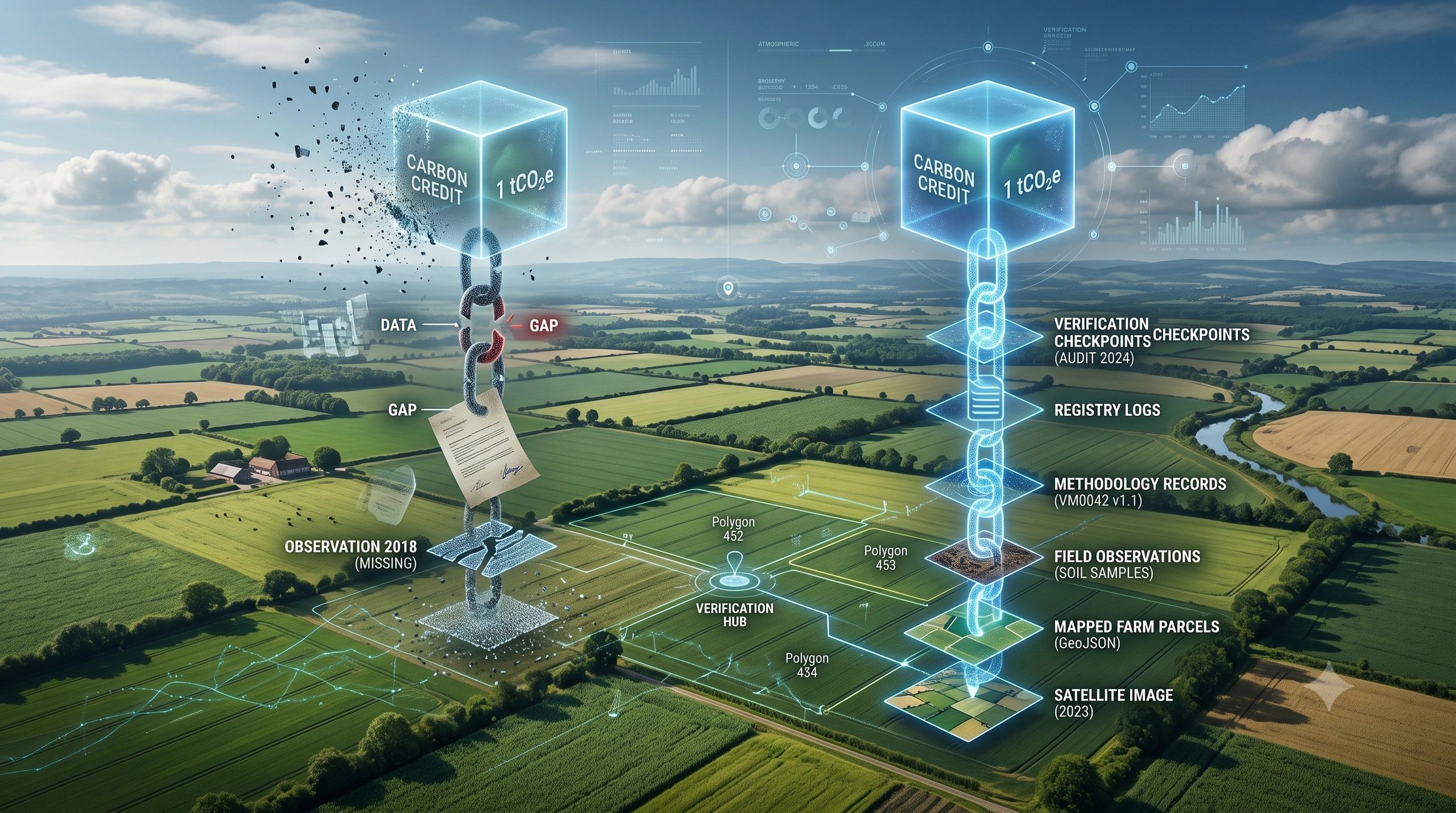
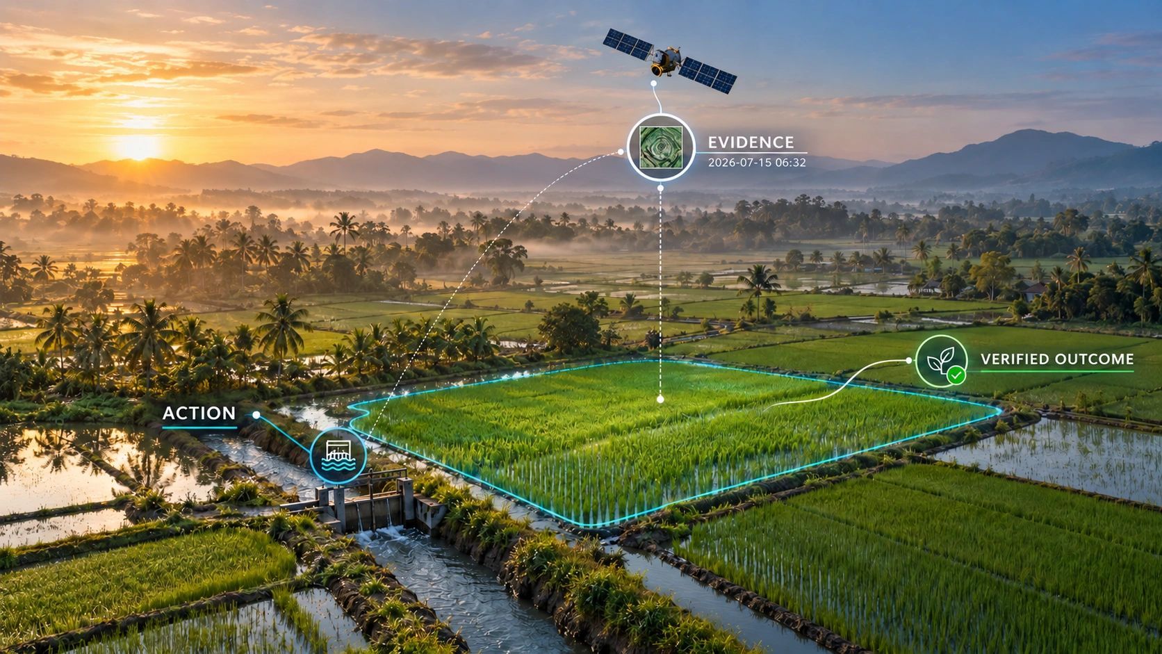
Consider a participating farm. To assess a claimed reduction, the project needs to establish which field is involved and what its baseline practice was. It then needs evidence of the new practice: what was prescribed, what the farmer did, and when. Finally, it must quantify the emissions outcome under the applicable methodology and submit the claim for independent verification.
Each link answers a different question:
Evidence - Question it answers
Field identity and baseline - Where did the project begin, and what practice is it being compared with?
Intervention record - What change was agreed or prescribed?
Activity evidence - What happened, where and when?
Outcome assessment - What emissions change can the evidence support?
Verification record - What was checked, and which claim was accepted?
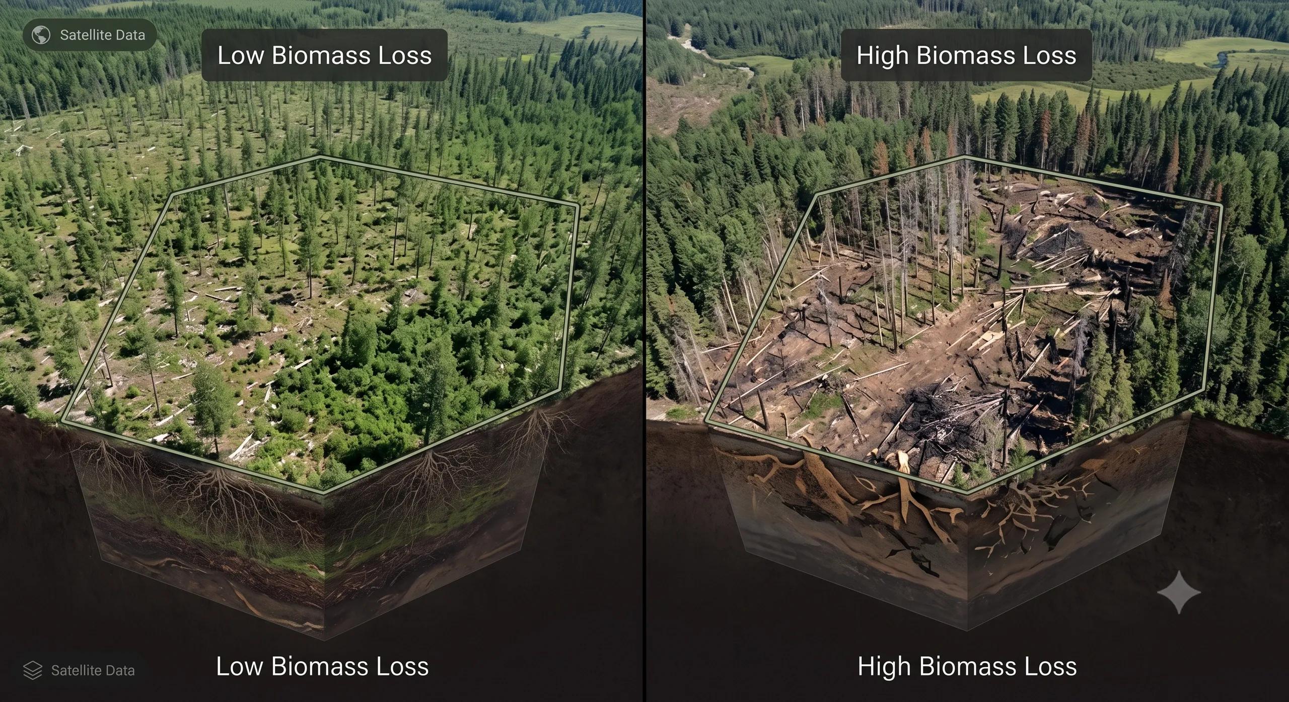
An image can help establish conditions in a field. A field visit or irrigation record can help establish an activity. A model can estimate an emissions outcome. None should be treated as interchangeable proof of the whole chain.
The missing link is often operational
Much of the discussion around climate MRV focuses on better sensors and better estimates. Those improvements matter. Yet a technically strong estimate can still leave an awkward gap between a reported outcome and the actions meant to produce it.
The difficulty grows across thousands of small farms. Field boundaries can change. One farmer may work several plots. An irrigation event may be recorded late or missed altogether. Satellite observations arrive on their own schedule, while farming decisions follow weather, water availability and local practice.
This is where geospatial systems become more than mapping tools. A stable field identity lets a programme bring different records back to the same place. Time-stamped activity records let reviewers compare a claimed intervention with observations from the relevant period. Provenance shows where each item of evidence came from and whether it was corrected later.
That does not mean every farm needs a dense network of sensors. It means the programme should be able to explain which evidence supports each claim, where uncertainty remains and when a field needs another check.
Three states make the work easier to govern
I would organize an intervention-based MRV workflow around three distinct states:
Prescribed: What practice was intended for this field, and during which period?
Executed: What evidence shows the practice took place? Is that evidence complete enough to use?
Verified outcome: What result does the methodology support, and what has an independent verifier accepted?
Keeping these states separate prevents a common mistake: counting an enrolled field as an implemented intervention, or counting an implemented intervention as a verified emissions reduction.
It also helps a delivery team act sooner. If activity evidence is missing, they can seek it while the season is still under way. If observations conflict, they can flag the field for review. If the outcome falls below expectations, they can examine whether the issue lies in execution, local conditions or the original assumption.
MRV then becomes useful during the project, rather than only at the point of reporting.
What a climate evidence platform should do
A practical platform would connect the parcel and participant to a baseline, an intervention plan, activity records, observations, calculations and a verification status. It should preserve the source and time of each record, as well as later changes.
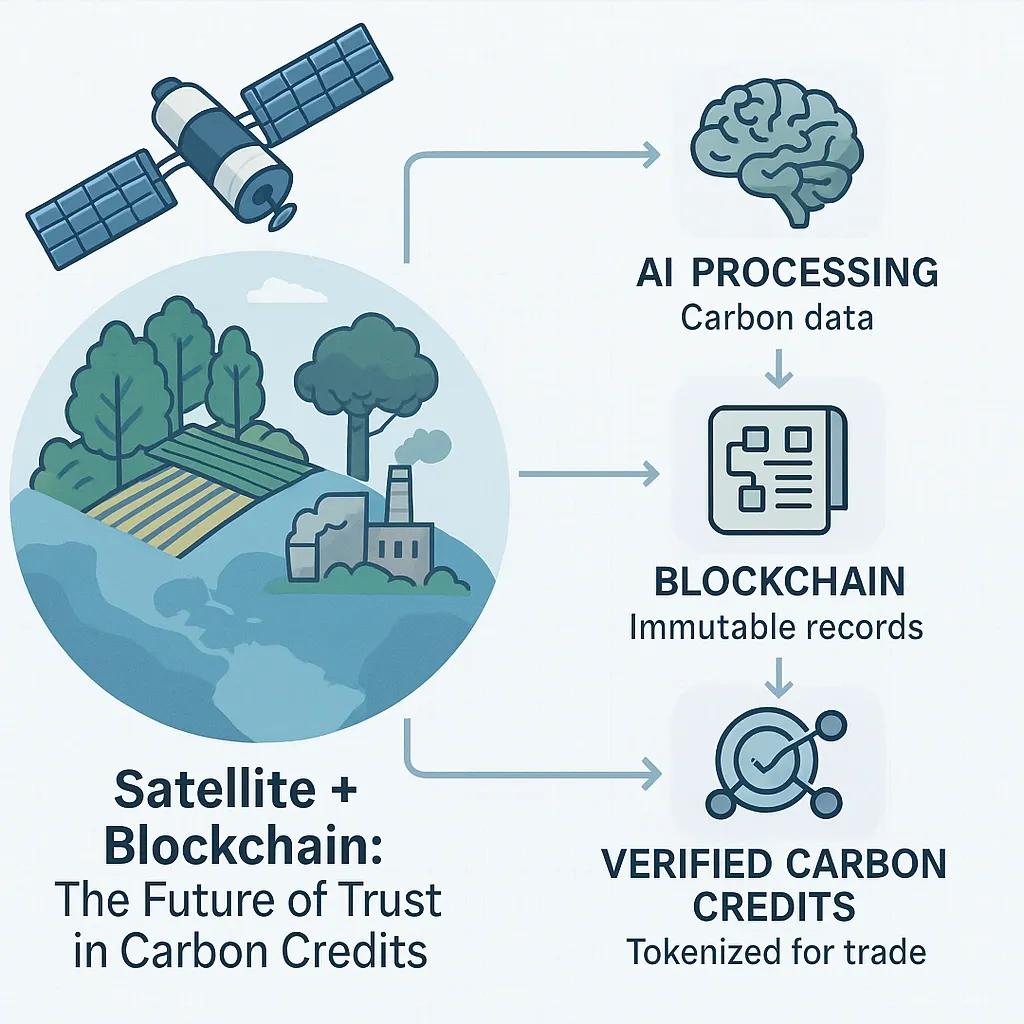
Earth observation, field reports, irrigation records, weather data and sensors can all contribute. Their roles should stay clear. Remote sensing may help reveal field conditions or identify exceptions; it cannot, by itself, certify every farmer action or replace the emissions methodology and verifier.
For a platform such as our NeuSpatial, the relevant opportunity is the spatial and operational evidence workflow: linking fields, actions, observations and review states. Specialist partners would still provide the agronomic protocols, emissions science and formal verification. This is a useful division of work because trust depends on each part being done well.
The same pattern extends beyond rice. A forest project must link a management action to a defined area and assess what followed. A water programme must connect a physical intervention to measured savings. An industrial project must show that an equipment or process change was implemented before claiming its effect. The measurement methods differ, but the need to trace action to outcome remains.
The commercial test
A buyer wants confidence that a climate claim can withstand scrutiny. A project developer needs to find weak evidence before verification becomes expensive. A farmer or operator needs a workable process for recording actions without carrying an unreasonable administrative burden.
Those needs point to a useful test for any MRV system:
Can a reviewer move from a reported result back through the calculation, supporting observations and recorded intervention to the correct physical site?
If the answer is unclear, a more detailed dashboard will not resolve the underlying problem.
Climate MRV is advancing when it can show both what changed and why a project is entitled to claim that change. The strongest systems will make that chain visible while being honest about what the evidence cannot establish.