
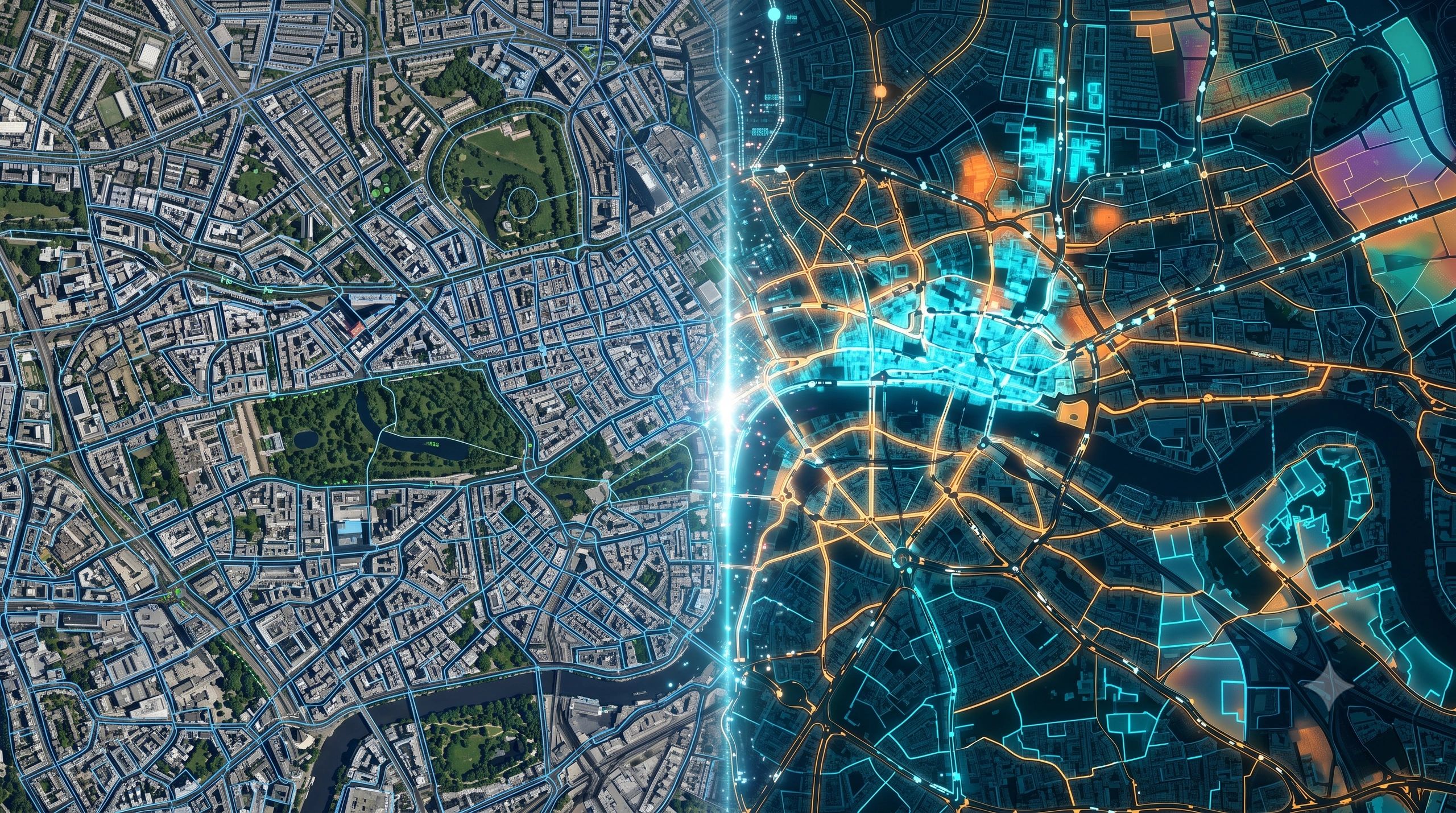
For years, GeoAI has become better at identifying what is visible.
A building. A road. A damaged roof. A vehicle. A tree. A flooded field.
These capabilities have changed how organizations process satellite, aerial and drone imagery. But identifying objects is only one part of understanding a location.
A model may detect 2,000 buildings without knowing whether the area is a growing commercial zone, a vulnerable residential neighborhood, an industrial cluster or a place where infrastructure demand is about to rise.
That is the next GeoAI challenge.
The next generation of models will need to represent not only what is visible in a place, but also what that place is like.
From object recognition to place intelligence
Traditional geospatial analysis usually begins by assembling multiple layers:
- Population and demographics
- Land use and building density
- Transport accessibility
- Economic activity
- Infrastructure availability
- Environmental conditions
- Hazard exposure
- Property and asset information
Analysts then select variables, define weights and build a model for a specific purpose.
Location foundation models introduce another approach.
They can compress thousands of geographic, demographic, socioeconomic, housing and environmental variables into numerical representations called location embeddings.
Locations with similar underlying characteristics appear closer together within this embedding space, even when they are geographically far apart.
Esri’s recently introduced Geodemographic Foundation Model, for example, creates compact representations from more than 5,000 variables. Its initial US embeddings support workflows such as similarity searches, clustering, site selection and predictive modelling. Esri describes these representations as “fingerprints” of places.
This changes the starting point for location intelligence.
Instead of asking only, “What variables should we combine for this analysis?”, an organization could begin with a reusable representation of geographic context and adapt it to different decisions.
Contextual distance may matter as much as physical distance
Two neighborhoods separated by hundreds of kilometers may have similar population structures, business activity, accessibility, housing patterns and infrastructure needs.
At the same time, two adjacent neighborhoods may behave very differently.
This introduces the idea of contextual distance.
For a retail or B2B distribution company, the next expansion location may not simply be the closest city. It may be the area most similar to an existing successful market based on buyer concentration, transport connectivity, commercial activity, income patterns and supply-chain access.
For an infrastructure operator, place similarity could help identify areas likely to experience comparable demand, maintenance pressures or service risks.
For urban planners, it could help find communities facing similar combinations of heat exposure, population vulnerability and limited public services.
The same underlying location representation could support several applications. This is one reason foundation models may become important: organizations can reuse learned geographic context rather than rebuild every model from the beginning.
A place is more than a location embedding
However, an embedding is not the same as genuine understanding.
It is a compressed mathematical representation. It can reveal similarity, support classification or improve prediction, but it does not automatically explain why two places are considered alike.
That distinction becomes important when an output influences investment, credit, insurance, infrastructure or public services.
A model may rank one area above another, but the decision-maker still needs to know:
- Which physical and social signals influenced the result?
- How recent and reliable are those signals?
- Which important variables are missing?
- Has the location changed since the model was trained?
- Does similarity remain valid for this specific decision?
- Who is responsible for approving the resulting action?
Place intelligence therefore needs three connected capabilities: representation, explanation and governance.
The representation identifies patterns. The explanation reconnects those patterns to understandable evidence. Governance determines whether the evidence is sufficient for a particular decision.
Property intelligence shows how this can become operational
The emerging property-intelligence market offers a practical example.
ESA’s ongoing Belmap4EU project is expanding a geospatial digital-twin platform from the Benelux into additional European markets. It harmonizes building, parcel and address information and enriches these records using AI and Earth observation.
The resulting property-level intelligence can support underwriting, claims validation, real-estate valuation, green lending, renovation planning, rooftop-solar targeting and infrastructure deployment. ESA identifies fragmented and inconsistent property data as the problem the project is designed to address.
The important point is not simply that AI detects solar panels or roof characteristics.
The value comes from connecting those observations to a persistent property identity, authoritative records, environmental exposure and operational workflows.
One building record can then support several decisions without collecting the same evidence repeatedly.
This suggests that future place models will not operate independently. They will sit within broader systems connecting imagery, parcels, addresses, buildings, assets, administrative records and live operational data.
3D becomes useful when it carries context
Türkiye’s development of a 3D cadastral system provides another view of this transition.
Istanbul is the initial testing area, with approximately 1.3 million buildings represented in a citywide digital twin. The platform connects outdoor and indoor models with parcels, building units, ownership information, construction details and cadastral records. The programme is intended to extend into a national 3D property system.
The value does not come from a visually impressive model alone.
It comes from combining geometry with property identity, legal context, structural information, field evidence and administrative processes. That connection can support taxation, valuation, planning, earthquake resilience and inspection workflows.
The same principle applies to GeoAI.
A model that recognizes buildings sees objects. A system that connects those buildings to ownership, occupancy, risk, permits, services and observed change begins to represent places operationally.
Place intelligence must remain current
A further challenge is time.
A location embedding may accurately represent an area when it is generated but become less reliable as construction, migration, infrastructure, business activity or environmental conditions change.
Place intelligence therefore needs a controlled update process.
Imagery, permits, field observations, sensors and transaction records can all indicate that a location has changed. The system must determine which event triggers an update, which source is authoritative and whether human validation is required.
Historical states should also be retained. Decision-makers may need to understand not only what an area looks like now, but how its character is changing.
This is where location foundation models, Earth observation, digital twins and IoT begin to converge. Embeddings provide reusable context. Imagery identifies physical change. Digital twins preserve asset relationships. Operational systems record what was authorized and what action followed.
The real opportunity is decision-ready context
The next GeoAI model will not literally understand a place as a resident, planner or field engineer does.
But it may provide a more complete computational representation of place than systems built around individual pixels, objects or layers.
That could change how organizations select sites, plan infrastructure, assess property, manage risk and allocate services.
The competitive advantage will not come from generating the largest embedding or the most detailed 3D scene.
It will come from connecting learned place representations to current evidence, explainable reasoning and governed decisions.
GeoAI is moving beyond answering, “What is visible here?”
The more valuable questions will be: “What kind of place is this, how is it changing, which other places behave like it and what should we do differently because of that understanding?”