
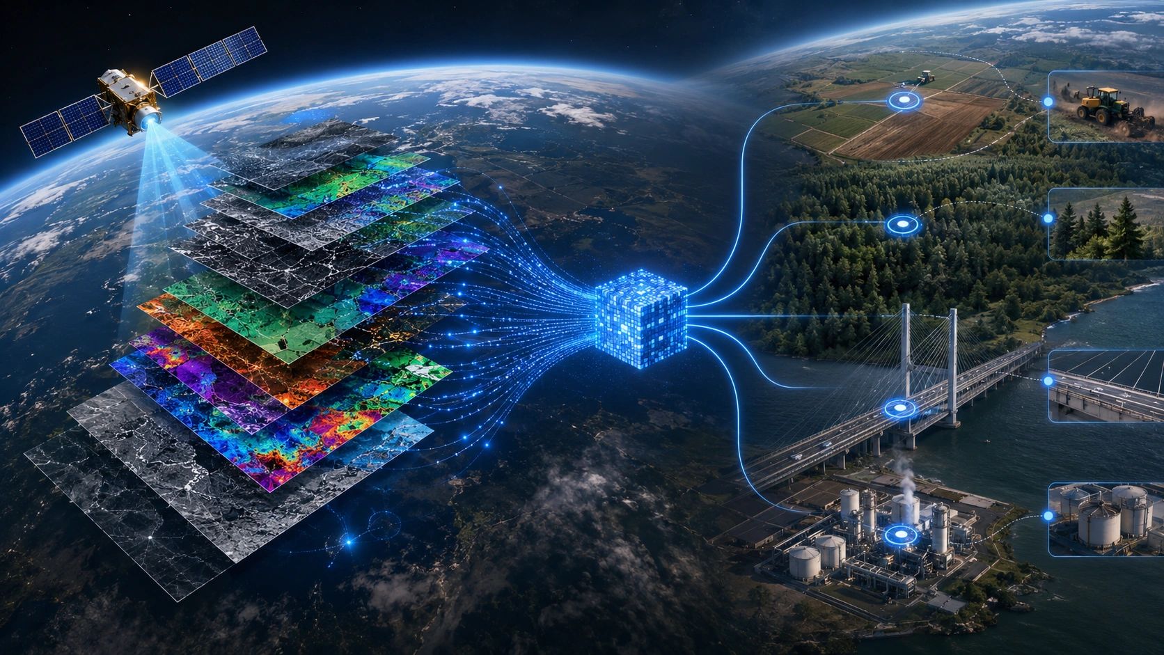
For decades, most Earth observation workflows began with the same task: obtain the imagery.
Teams downloaded satellite scenes, corrected them, removed clouds, aligned datasets, extracted features and trained models for a particular geography or application.
When the location, season or use case changed, much of that work had to be repeated.
This model has created valuable applications across agriculture, forestry, infrastructure, climate monitoring and disaster management. But it also carries a persistent constraint: too much time and computing capacity are spent preparing observations before anyone can use them to make a decision.
Earth-observation foundation models are beginning to change that starting point.
The emerging opportunity is not simply faster image processing. It is the conversion of large satellite archives into compact, reusable representations that can support many downstream applications.
But reusable does not automatically mean decision-ready.
From satellite scenes to reusable representations
A recent example is TESSERA, Temporal Embeddings of Surface Spectra for Earth Representation and Analysis.
The foundation model processes time-series observations from Sentinel-1 and Sentinel-2 and produces annual, pixel-level representations known as embeddings. These embeddings encode spatial, spectral and temporal patterns while requiring substantially less storage than the underlying imagery.
Instead of repeatedly processing a full year of satellite scenes, an application developer can start with a pretrained representation and add a smaller task-specific model.
The approach has been demonstrated across applications such as land classification, crop monitoring, burned-area mapping and forest-canopy analysis. The model and its global 10-metre embeddings have also been made openly available, with the research presented at CVPR 2026. ESA’s overview of TESSERA describes how these encoded datasets can reduce the volume and complexity of data required for downstream analysis.
This is an important architectural change.
Traditional EO applications often rebuild intelligence from raw observations. Embedding-based applications can begin with a reusable representation of what has already been observed.
That could reduce storage requirements, cloud-processing costs and dependence on specialist image-processing teams. It may also make it easier to deploy analysis across larger areas or adapt an existing capability to a new geography.
Yet an embedding remains a representation, not a business outcome.
The intelligence becomes valuable only when it acquires context
A foundation model may detect patterns across the Earth’s surface, but it does not automatically know what those patterns mean for a farmer, infrastructure operator, insurer or policymaker.
A vegetation change becomes operationally useful when it is linked to a defined farm parcel, crop stage and intervention history.
Surface movement becomes relevant when it is connected to an identified road, pipeline, railway corridor or insured asset.
A land-cover change becomes evidence when it is associated with a permit boundary, carbon claim, sourcing commitment or compliance obligation.
The commercial EO workflow therefore needs to extend beyond model inference:
EO embedding → domain classification → asset or parcel linkage → confidence assessment → field validation → operational action
The last four steps will often determine whether an EO application creates measurable value.
This is where the next layer of the market is likely to develop. Foundation-model providers can create reusable representations at scale. Domain and delivery partners must convert those representations into trusted evidence for specific decisions.
Reusability does not remove the need for validation
The lower cost of using embeddings could encourage organizations to apply the same representation to many different problems. That is useful, but it creates a governance risk.
A model trained across broad geographies may behave differently in a local agricultural system, dense urban environment or rapidly changing industrial zone. Performance may also change with spatial scale, season, sensor availability and the amount of local reference data.
A compact representation can make deployment easier without making every result equally reliable.
Users still need to know:
- Which observations contributed to the embedding?
- What period does it represent?
- At what spatial scale is it suitable?
- How well has the downstream model been validated locally?
- What confidence threshold permits action?
- When is field verification required?
- Can the resulting decision be traced back to its evidence?
Without these controls, organizations may process less data while producing the same uncertainty in a less visible form.
The design goal should therefore be reusable intelligence with preserved provenance, not simply reusable model outputs.
EO applications will become part of operational systems
The biggest opportunity may not be another standalone satellite dashboard.
It may be the integration of EO intelligence into the systems that already manage assets, field teams, procurement, maintenance, risk and compliance.
Consider agriculture. An embedding-supported model could identify crop stage or unusual vegetation behavior across thousands of parcels. But the operational loop becomes complete only when the result triggers an agronomist review, field inspection, irrigation adjustment, procurement update or machinery instruction.
For infrastructure, a detected change must be associated with the correct asset, compared with its known condition, assessed against an intervention threshold and assigned to the responsible team.
For carbon monitoring, a land-change signal must connect to a project boundary, methodology, baseline, verification requirement and auditable claim.
This is how EO moves from observation to operational intelligence.
It also changes the commercial model. Customers may become less interested in paying for imagery processing as a separate activity. They will pay for improved crop decisions, earlier risk detection, lower inspection costs, faster verification or better compliance evidence.
Commercialization is moving in the same direction
Funding programmes are also placing more emphasis on operational demand.
The new ESA–UK Space Agency InCubed call offers up to €7.26 million in total funding, with individual projects ranging from €300,000 to €4 million. Importantly, proposals demonstrating customer engagement and a clear path to commercialization are preferred. ESA’s call announcement reinforces a wider market message: technical novelty alone is not enough.
The question is no longer only, “Can the model detect this?”
It is also:
Who uses the result? What decision changes? How is the output verified? Where does it enter the operating workflow? What measurable value does it produce?
EO companies with strong models may therefore need partners that understand local industries, operational processes, field validation and enterprise integration.
Conversely, geospatial platforms do not need to build every foundation model themselves. They can integrate suitable embeddings and models while owning the industry configuration, evidence controls and last-mile workflow.
The new EO stack
The emerging Earth-observation value chain can be understood in three layers.
The first is the representation layer: foundation models convert large volumes of satellite observations into reusable embeddings.
The second is the domain-intelligence layer: specialized models interpret those embeddings for agriculture, infrastructure, climate, risk or natural-resource applications.
The third is the decision-workflow layer: predictions are connected to real entities, confidence rules, human review, field evidence and accountable action.
Most organizations will not need to own all three layers.
But someone must make them work together.
That coordination layer, between advanced models and real operating decisions, is where much of the defensible business value may emerge.
Earth observation is not moving away from imagery. Original observations will remain essential for scientific analysis, validation, investigation and visual interpretation.
What is changing is the point at which many applications can begin.
Instead of rebuilding intelligence from satellite scenes for every use case, organizations can increasingly start with reusable representations and concentrate their effort on the harder question: how should that intelligence change what happens next?
The next EO opportunity is not simply to process the Earth faster. It is to shorten the distance between satellite intelligence and accountable action.