
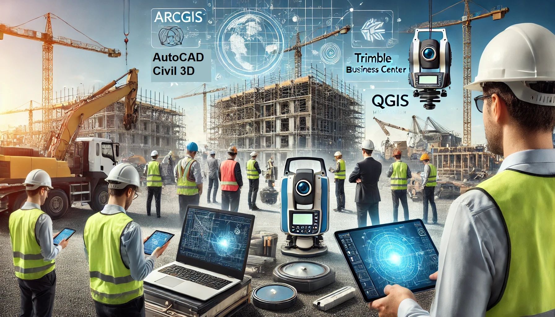
Geospatial technologies have transformed the construction industry by providing precise, actionable data for planning, design, and management. Construction professionals increasingly rely on geospatial software tools to enhance efficiency, reduce costs, and ensure the accuracy of their projects. This article explores the best geospatial software tools available for construction professionals, highlighting their features, applications, and benefits.
1. ArcGIS by ESRI
Features and Capabilities
ArcGIS is a comprehensive Geographic Information System (GIS) developed by Esri, widely regarded as an industry leader in geospatial technology. ArcGIS offers a suite of tools for mapping, spatial analysis, and data management. Key features include:
- Data Integration: ArcGIS supports the integration of various data formats, including CAD, BIM, and LiDAR.
- Spatial Analysis: Advanced spatial analysis tools enable users to perform proximity analysis, overlay analysis, and network analysis.
- 3D Visualization: ArcGIS Pro offers robust 3D visualization capabilities, allowing construction professionals to create and analyze 3D models of their projects.
- Web GIS: ArcGIS Online provides cloud-based GIS services, enabling collaboration and sharing of geospatial data across teams.
Applications in Construction
ArcGIS is used in construction for site selection, land use planning, environmental impact analysis, and infrastructure management. It enables professionals to visualize and analyze spatial data, aiding in decision-making and project planning.
Benefits
- Improved Decision-Making: Access to comprehensive spatial data allows for more informed decisions.
- Enhanced Collaboration: Cloud-based solutions facilitate data sharing and collaboration among stakeholders.
- Increased Accuracy: Advanced analysis tools ensure precise and reliable data interpretation.
2. AutoCAD Civil 3D by Autodesk
Features and Capabilities
AutoCAD Civil 3D is a design and documentation software that supports Building Information Modeling (BIM) workflows. It is specifically tailored for civil engineering design and construction. Key features include:
- Dynamic Modeling: Civil 3D allows for the creation of dynamic 3D models of infrastructure projects, which can be easily updated as designs evolve.
- Corridor Modeling: The software provides tools for creating and analyzing road and highway corridors.
- Grading and Surveying: Civil 3D offers advanced grading and surveying tools, enabling precise terrain modeling and analysis.
- Storm and Sanitary Analysis: Integrated tools for stormwater and sanitary sewer design and analysis.
Applications in Construction
Civil 3D is extensively used for the design and documentation of transportation, land development, and water projects. It helps construction professionals create detailed construction plans, perform quantity takeoffs, and analyze project feasibility.
Benefits
- Efficiency: Streamlined workflows reduce design time and improve productivity.
- Accuracy: Dynamic modeling ensures that all project components are accurately represented and updated.
- Integration: Seamless integration with other Autodesk products enhances collaboration and data sharing.
3. Trimble Business Center
Features and Capabilities
Trimble Business Center (TBC) is a comprehensive geospatial software solution designed for surveying, construction, and civil engineering. Key features include:
- Survey Data Processing: TBC supports the processing and adjustment of GNSS, total station, and level data.
- Point Cloud Analysis: The software provides tools for the analysis and visualization of point cloud data, derived from LiDAR and photogrammetry.
- Site Calibration: TBC enables precise site calibration, ensuring accurate alignment of survey data with project coordinates.
- Data Integration: Integration with other Trimble solutions, such as machine control systems and field data collectors, enhances workflow efficiency.
Applications in Construction
TBC is used for surveying, earthworks, and construction management. It helps professionals manage and process geospatial data, create accurate site models, and perform quality control checks.
Benefits
- Accuracy: High-precision tools ensure accurate data processing and analysis.
- Efficiency: Integration with Trimble hardware and software solutions streamlines workflows.
- Versatility: Supports a wide range of geospatial data formats and applications.
4. Bentley MicroStation
Features and Capabilities
Bentley MicroStation is a versatile CAD software platform for 2D and 3D design and drafting. It is widely used in infrastructure projects. Key features include:
- Comprehensive Modeling: MicroStation offers robust 2D and 3D modeling capabilities, supporting the creation of detailed design models.
- Interoperability: The software supports various data formats, including DWG, DGN, and IFC, enabling seamless integration with other design tools.
- Visualization: Advanced visualization tools allow for the creation of realistic renderings and animations.
- Geospatial Analysis: Integrated GIS capabilities enable spatial analysis and data management.
Applications in Construction
MicroStation is used for the design and documentation of infrastructure projects, including roads, bridges, and buildings. It aids in creating detailed construction drawings, performing spatial analysis, and generating visualizations.
Benefits
- Flexibility: Supports a wide range of design and drafting applications.
- Interoperability: Seamless integration with other software enhances collaboration and data sharing.
- Visualization: Advanced tools for creating realistic visualizations improve project communication.
5. QGIS
Features and Capabilities
QGIS (Quantum GIS) is an open-source GIS software that provides powerful tools for mapping, spatial analysis, and data visualization. Key features include:
- Customization: QGIS supports extensive customization through plugins and scripting, enabling users to tailor the software to their needs.
- Data Integration: Supports a wide range of data formats, including raster, vector, and database formats.
- Spatial Analysis: Offers a comprehensive set of spatial analysis tools, including buffering, overlay, and network analysis.
- Cartography: Advanced cartographic tools allow for the creation of high-quality maps and visualizations.
Applications in Construction
QGIS is used for site analysis, environmental impact assessment, and infrastructure planning. It provides construction professionals with the tools to analyze spatial data and create detailed maps for project planning and management.
Benefits
- Cost-Effective: As an open-source solution, QGIS provides powerful geospatial tools without the associated costs of proprietary software.
- Flexibility: Extensive customization options allow users to adapt the software to their specific needs.
- Community Support: A large and active community provides support and contributes to the development of plugins and extensions.
In conclusion, geospatial software tools are indispensable for construction professionals, offering a wide range of capabilities for mapping, analysis, and visualization. Tools like ArcGIS, AutoCAD Civil 3D, Trimble Business Center, Bentley MicroStation, and QGIS provide powerful solutions to enhance project planning, design, and management. By leveraging these tools, construction professionals can improve accuracy, efficiency, and collaboration, ultimately leading to successful project outcomes.