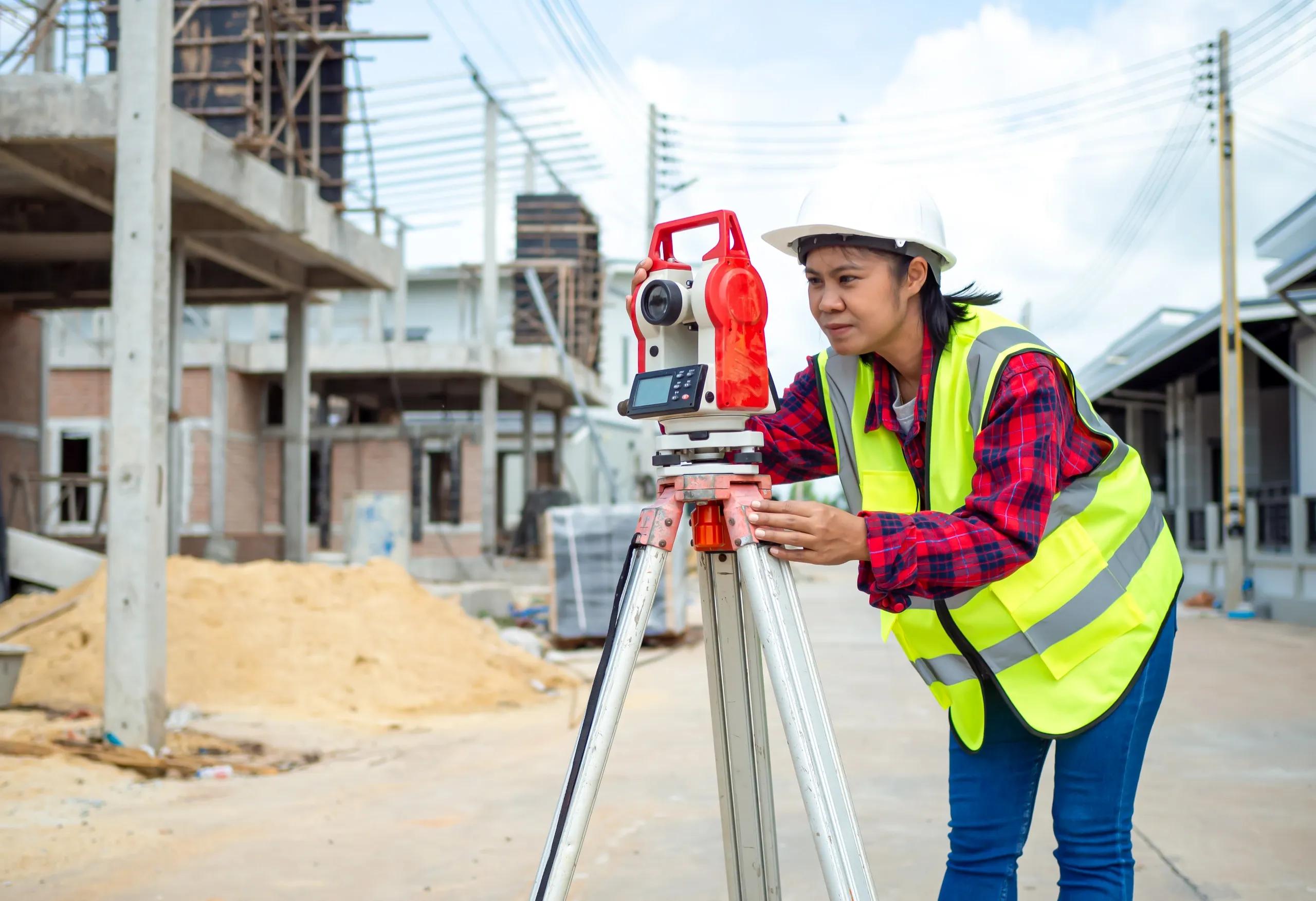
The rapid evolution of technology has revolutionized many industries, and surveying is no exception. From theodolites and compasses to drones, GPS systems, and advanced mobile mapping tools, the modern surveyor has a wide array of tools that make data collection faster, more accurate, and more efficient than ever before. In this digital age, there is a growing trend toward simplified, user-friendly surveying tools, which aim to reduce the technical complexity of traditional equipment and enable more people to engage with spatial data. However, despite the accessibility of these tools, the role of expert surveyors remains indispensable. Surveying is a nuanced profession that requires more than just pressing buttons on a digital device; it demands a deep understanding of geography, data interpretation, and technical know-how.
This article explores why, despite the availability of simplified tools, expert surveyors are still crucial for ensuring the accuracy, precision, and reliability of spatial data in the digital era.
The Role of Simplified Surveying Tools
Recent advancements in surveying technology have led to the development of tools that automate and simplify many aspects of the surveying process. These tools include mobile apps, cloud-based data platforms, drones with integrated sensors, and handheld GNSS (Global Navigation Satellite System) devices. They are designed to provide immediate, actionable data with minimal user input, and they often claim to remove the need for specialized training. Some of these tools come equipped with automated features such as real-time error correction, cloud-based collaboration, and intuitive interfaces that allow users to perform tasks like boundary surveys, topographic surveys, and construction layout with ease.
While these innovations have certainly reduced the barriers to entry in the field of surveying, they also create the false impression that anyone with access to the tools can carry out professional-level surveys. The reality, however, is more complex. Simplified tools are excellent for reducing the workload and providing quick, approximate data, but they are not foolproof. They lack the critical decision-making capabilities that come from years of training and experience.
The Complexity of Spatial Data
At the heart of surveying is the gathering, analysis, and interpretation of spatial data. This data forms the foundation for major projects, from infrastructure development to urban planning, and even environmental conservation. Simplified tools are capable of capturing large amounts of data quickly but understanding that data is another matter entirely.
Surveying requires precision—whether determining the boundaries of a property, the elevation of a construction site, or the topography of a landscape. Even the most advanced tools can misinterpret data if not used correctly, leading to significant errors. Expert surveyors have the knowledge to identify and account for potential inaccuracies, such as those introduced by atmospheric conditions, signal interference in GNSS systems, or complex site topographies. While simplified tools might display data on a screen, they often do not provide the detailed insights needed to understand the limitations of the technology being used or the anomalies in the data collected.
The Importance of Expertise in Data Interpretation
Data collection is just one step in the surveying process. Perhaps the most critical phase is data interpretation. Simplified surveying tools can quickly collect vast amounts of data, but without a skilled surveyor to interpret this data, its true value remains unrealized. For instance, a drone equipped with LIDAR (Light Detection and Ranging) technology can generate a detailed 3D map of a terrain. However, interpreting this data to identify crucial features, anomalies, and potential risks requires an expert’s eye.
Surveyors are trained to understand how geographical features, man-made structures, and natural landscapes interact. They can distinguish between meaningful data points and irrelevant noise, a skill that cannot be fully automated. Furthermore, surveyors possess an in-depth understanding of the principles of measurement, error analysis, and quality control. Their expertise allows them to assess the accuracy of the data collected, ensuring that it meets the necessary standards for decision-making processes.
Regulatory Compliance and Legal Responsibility
Surveying is a profession governed by strict legal and regulatory standards. The accuracy and reliability of survey data are often critical to the success of legal transactions, infrastructure projects, and governmental decision-making. Simplified tools may make data collection easier, but they do not absolve the need for professional oversight. In fact, many jurisdictions require that surveys be conducted or overseen by licensed professionals to ensure compliance with local laws and standards.
Errors in surveying can lead to costly legal disputes, project delays, and even safety hazards. For example, an inaccurate boundary survey might result in property disputes, while incorrect elevation reading could lead to flooding risks for a new development. Expert surveyors carry the legal responsibility for the accuracy of their surveys and are held accountable for any mistakes. This responsibility cannot be transferred to simplified tools, which are incapable of taking into account the full range of factors that affect the quality of a survey.
Training and Adaptability
Simplified surveying tools are designed to be easy to use, but this does not mean they are easy to use correctly. Proper training is still required to operate these tools effectively and interpret the data they produce. While a simplified GNSS device may provide location data at the push of a button, knowing how to mitigate signal interference, compensate for multipath errors, and processing the data accurately requires expertise.
Moreover, expert surveyors are adaptable. They understand the limitations of their tools and can adjust their methodologies when conditions change. Simplified tools often operate within narrow parameters, and when faced with unusual or challenging environments, they may fail to provide accurate data. In contrast, expert surveyors have the knowledge and experience to troubleshoot issues, adapt to changing conditions, and ensure the integrity of the survey, even in complex scenarios.
The Future of Surveying: A Hybrid Approach
As technology continues to advance, the role of the surveyor will undoubtedly evolve. Simplified tools will continue to improve, making data collection faster and more accessible. However, these tools should be seen as complements to, rather than replacements for, expert surveyors. A hybrid approach that combines the efficiency of modern technology with the expertise of trained professionals offers the best of both worlds.
For instance, in the construction industry, Building Information Modeling (BIM) and geospatial data integration require a high level of accuracy and real-time data input. Surveyors are increasingly using digital twins and advanced mapping systems to provide up-to-the-minute updates on site conditions. While the tools simplify data collection and visualization, the expert surveyor is still needed to ensure that the data is correct and that any potential issues are flagged early.
Conclusion
In the digital age, simplified surveying tools provide invaluable assistance in gathering and processing spatial data, but they do not eliminate the need for expert surveyors. The complexity of spatial data, the importance of accurate data interpretation, and the legal responsibilities of surveying all underscore the critical role of professional expertise in this field. While simplified tools make surveying more accessible, they cannot replace the nuanced understanding, experience, and decision-making skills that expert surveyors bring to the table. As technology continues to advance, the future of surveying will rely on a collaborative relationship between innovative tools and skilled professionals, ensuring that projects are completed with the highest levels of accuracy and reliability.