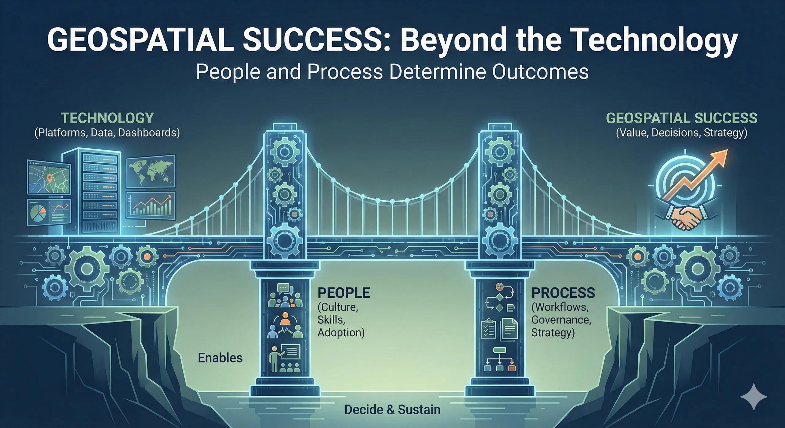
The silent failure pattern
Many organizations invest in geospatial platforms.
They integrate data.
They build dashboards.
They run pilots.
Yet after initial enthusiasm, usage declines.
Insights remain underutilized.
Decision workflows revert to old habits.
The issue is rarely technology.
It is capability.
The real decision behind transformation
Leadership often believes adopting geospatial intelligence is a technology decision.
In reality, it is an organizational decision.
Key questions include:
Who owns spatial insight across departments?
How are decisions influenced by spatial data?
Are workflows redesigned to use this intelligence?
Is there accountability for acting on insight?
Without clear ownership and process alignment, even the best tools become peripheral.
Why capability matters more than tools
Geospatial intelligence becomes strategic only when:
Analysts understand business objectives
Decision-makers trust spatial metrics
Engineers integrate location data into planning
Executives see location as a recurring KPI
This requires more than software.
It requires:
Training
Cross-functional alignment
Defined governance
Clear decision pathways
Capability transforms insight into influence.
From tool adoption to decision culture
A mature capability framework often follows:
Tool deployment → Skill development → Process integration → Governance alignment → Decision accountability
Many organizations stop at deployment.
The real shift happens when spatial insight becomes embedded in:
Capital planning reviews
Risk committees
Expansion strategy sessions
Operational dashboards
Board reporting
At that point, location intelligence becomes part of culture.
A practical scenario
Consider a utility that deploys a sophisticated geospatial risk dashboard.
Initially, analysts use it effectively.
However:
Maintenance teams continue using legacy schedules
Budget allocations remain politically influenced
Risk prioritization doesn’t influence upgrade sequencing
After structured training, workflow redesign, and leadership alignment:
Spatial scoring becomes mandatory in planning meetings
Risk-weighted upgrades are enforced
KPIs reflect exposure reduction
The same tool delivers dramatically different results.
Because capability matured.
Organizational impact
When capability aligns with technology, organizations experience:
Consistent decision frameworks
Faster adoption of innovation
Reduced resistance to data-driven change
Stronger interdepartmental collaboration
Clear accountability structures
The value of geospatial intelligence scales only when capability scales.
Where transformation efforts stall
Common challenges include:
Treating GIS as a technical silo
Lack of executive sponsorship
No clear integration with financial systems
Inadequate training
Absence of change management
Without process redesign, tools remain optional.
Optional tools rarely influence strategy.
Scaling capability across the enterprise
Leading organizations formalize geospatial capability through:
Defined spatial governance structures
Cross-functional steering groups
Continuous skill development programs
Clear ROI measurement frameworks
Executive dashboards aligned with spatial metrics
This transforms geospatial from a department function into enterprise infrastructure.
The monetization bridge
As organizations mature, they increasingly recognize that success depends not only on platforms, but on structured advisory support, workflow design, and capability-building frameworks that align people, process, and technology. Sustainable geospatial value requires organizational architecture, not just technical architecture.
Looking ahead
With AI-driven analytics, digital twins, and real-time systems expanding, the capability gap will widen between organizations that embed spatial thinking into culture and those that treat it as a technical add-on.
Competitive advantage will belong to those who invest in capability, not just tools.
Closing insight
Technology enables.
People decide.
Process sustains.
Geospatial success happens only when all three align.