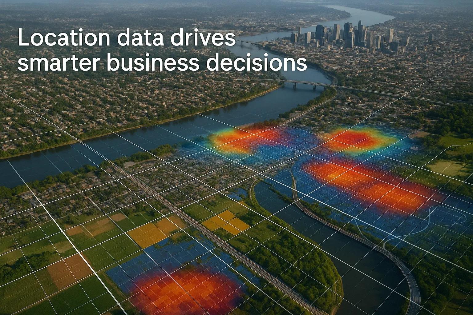
In today’s data-driven world, geography is more than a backdrop, it’s a strategic asset. Whether it’s identifying untapped markets, optimizing supply chains, or monitoring environmental risks, geospatial intelligence has emerged as a critical component of business decision-making. Every enterprise, regardless of its industry, stands to gain from a well-crafted geospatial strategy that aligns with digital transformation initiatives.
This article explores why geospatial strategies matter, how they unlock operational value, and how businesses can use them for planning, monitoring, and market expansion.
Insights are drawn from the broader technological trends shaping AECO, manufacturing, agriculture, logistics, and the automotive sectors globally.
1. What Is a Geospatial Strategy?
A geospatial strategy defines how an organization collects, analyzes, and applies geographic data to its operations and strategic planning. It involves integrating Geographic Information Systems (GIS), Earth Observation (EO) data, remote sensing, and location-based services into core business functions.
A geospatial strategy is not just about maps, it’s about leveraging location intelligence (LI) to drive smarter business decisions. It sits at the intersection of technology, analytics, and real-world spatial data.
2. Why Now? The Push from Global Tech Trends
The rise of spatial computing, digital twins, AI-powered analytics, and 5G-enabled IoT has created an ecosystem where real-time geospatial data can be collected, processed, and acted upon at scale.
According to global trend analysis:
Edge computing is making location-based insights faster and more localized.
XR and 3D mapping are improving spatial understanding in design, retail, and asset management.
Satellite data democratization has made high-resolution Earth data accessible to smaller businesses.
AI and Graph Neural Networks are enabling deeper geospatial pattern recognition and predictive insights.
These developments show that location intelligence is no longer limited to defense or public infrastructure, it is now vital for commercial growth and resilience.
3. Planning: Making Informed, Location-Based Decisions
Geospatial strategies play a foundational role in business planning across industries.
a. Site Selection and Network Optimization
Retailers use GIS to analyze foot traffic, competitor locations, income demographics, and accessibility when planning new outlets. Healthcare providers evaluate disease incidence and population density to decide where to set up clinics.
Manufacturers use location intelligence to:
Analyze proximity to suppliers and distribution centers.
Assess infrastructure readiness and transport costs.
Identify risk zones (flood-prone, seismic, or politically unstable areas).
b. Urban Planning and Infrastructure Projects
In the AECO sector, geospatial data feeds directly into BIM (Building Information Modeling) workflows, enabling planners to simulate construction in real-world terrains. This ensures better stakeholder alignment and reduces project risk.
Geospatial integration enhances planning in:
Smart city initiatives.
Utility and grid infrastructure expansion.
Renewable energy site assessment (solar radiation maps, wind potential models).
4. Monitoring: Real-Time Visibility for Operations
Location intelligence empowers businesses with real-time monitoring capabilities that improve operational efficiency, reduce downtime, and mitigate risk.
a. Supply Chain and Logistics
Fleet tracking, route optimization, and warehouse mapping all rely on geospatial data. In a competitive logistics market, companies like Amazon and DHL use real-time geospatial analytics to:
Reduce last-mile delivery time.
Avoid traffic or weather delays.
Adjust routes dynamically.
b. Asset and Field Monitoring
Industries with distributed assets, oil and gas, agriculture, telecommunications, rely on satellite imagery and drone data to:
Monitor equipment health.
Detect encroachments or anomalies.
Track land usage and crop performance.
In agriculture, precision farming uses GPS-tagged data to adjust irrigation, fertilization, and harvesting in near real time, reducing input costs and increasing yield.
c. Environmental and Regulatory Compliance
With increasing focus on sustainability, many firms use geospatial systems to:
Track emissions or deforestation patterns.
Ensure adherence to zoning regulations.
Monitor the impact of operations on surrounding ecosystems.
5. Expansion: Identifying New Market Opportunities
Businesses expanding into new geographies can de-risk their decisions through spatial data.
a. Market Intelligence
Geospatial analysis allows companies to overlay market size, purchasing behavior, and competitor density on a map. For instance:
Automotive brands can locate underserved rural regions with rising income levels.
Fast-food chains can study traffic flows and delivery trends before entering a city.
Fintech startups can analyze mobile device density and financial inclusion data to identify hotspots.
b. Demand Forecasting and Consumer Behavior
By combining geospatial data with social media trends, economic indicators, and historical sales data, companies can build hyperlocal forecasts. These insights help them customize products and pricing per region.
c. Cross-Sector Collaborations
For example, in manufacturing, location intelligence supports decisions about:
Sourcing raw materials from the most cost-effective location.
Understanding geopolitical risks in specific corridors.
Aligning with local policies on ESG (Environmental, Social, and Governance).
6. Technical Enablers: Tools Behind the Strategy
A geospatial strategy is powered by a combination of tools and technologies:
Tool: Purpose
GIS Software (e.g., ArcGIS, QGIS): Map creation, spatial analysis
Satellite Imagery (EO Data): Large-scale environmental and terrain analysis
UAV/Drones: High-resolution site inspections, crop health mapping
BIM + GIS Integration: Planning and lifecycle asset management
IoT and Sensor Data: Real-time location-based monitoring
AI/ML Models: Predictive analytics, pattern recognition
Digital Twins: 1:1 simulation of physical assets using spatial data
Interoperability between these tools enables seamless information flow across departments.
7. Industry Applications: Sector-Wise Examples
Agriculture:
Mapping crop yield zones.
Monitoring soil moisture and weather anomalies.
Tracking deforestation for compliance.
Manufacturing:
Choosing optimal factory locations.
Managing distribution centers spatially.
Assessing labor availability based on geography.
AECO:
Mapping utilities for underground safety.
Terrain analysis before excavation.
Combining GIS and BIM for smart infrastructure.
Logistics:
Real-time route deviation alerts.
GIS-enabled inventory management.
Heat maps for delivery density and delay analysis.
Automotive:
Understanding consumer distribution.
Mapping EV charging infrastructure gaps.
Predicting traffic flow for autonomous vehicle R&D.
8. Getting Started with a Geospatial Strategy
A practical path to implementation:
Define Objectives : What decisions will spatial data influence, planning, operations, or market entry?
Assess Data Needs : Identify internal and external datasets (IoT sensors, satellite, mobile data).
Select Tools and Platforms : Depending on budget and complexity, choose appropriate GIS and data visualization tools.
Develop Talent or Partners : Build internal geospatial capacity or partner with service providers.
Integrate with Business Systems : Ensure geospatial insights are embedded in ERP, CRM, and BI systems.
Review and Scale : Use early successes as a proof point to scale across other business functions.
Conclusion
Location is no longer a passive coordinate; it is a dynamic factor that influences business performance. A geospatial strategy isn’t just for tech-savvy startups or governments, it’s a competitive advantage for any enterprise aiming to grow smarter, operate leaner, and respond faster to market changes.
As global industries undergo circular transformation, integrating geospatial intelligence into business strategy will define the next era of innovation. Companies that invest in location data today are positioning themselves for success in a connected, intelligent, and spatially-aware world.