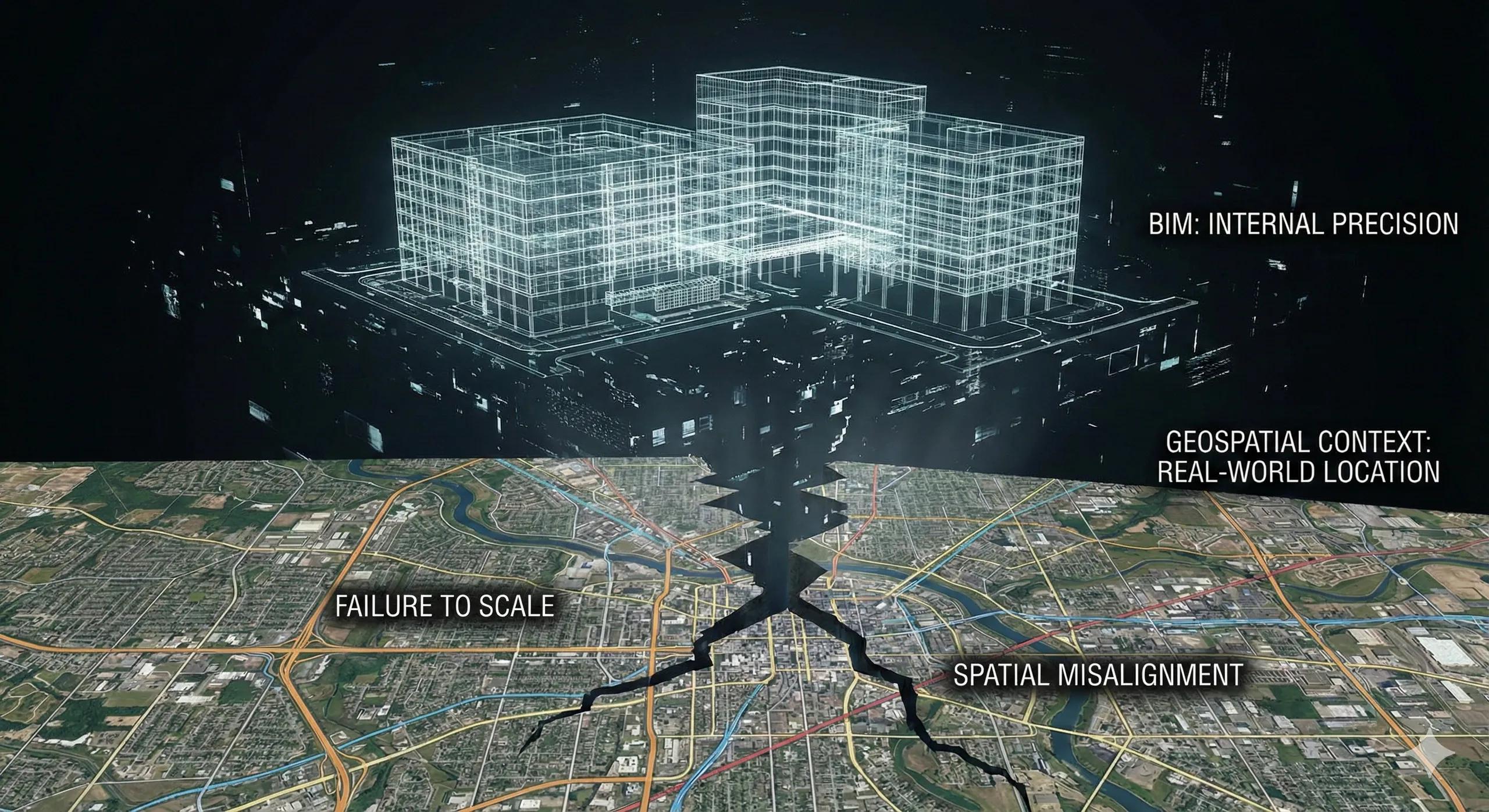
BIM is exceptionally good at describing what is being built.
It is far less reliable at explaining where it truly exists in the real world.
This gap, between model precision and spatial reality, is why many BIM initiatives stall after coordination and fail to scale beyond individual buildings. The missing layer is geospatial context .
Without it, BIM becomes internally consistent but externally fragile.
1. BIM Is Precise, but Often Spatially Blind
Most BIM models operate in:
Local coordinate systems
Arbitrary project origins
Simplified vertical datums
This works inside a single building.
It breaks down the moment BIM must interact with:
Infrastructure networks
Adjacent assets
Utilities
Terrain
Cities and regions
A model can be perfectly coordinated and still be spatially wrong .
2. Coordination Success ≠ Spatial Accuracy
A dangerous misconception:
“If the model coordinates internally, it must be correct.”
In reality:
A building can be rotated incorrectly on site
Levels can drift from true elevation
Services can miss utility corridors
Drainage can fail due to terrain misunderstanding
BIM solves geometry.
Geospatial systems solve location, scale, and reference .
3. What Geospatial Context Actually Provides
Geospatial context brings:
Real-world coordinate reference systems (CRS)
True north and orientation
Accurate elevation and datum alignment
Integration with survey control and GCPs
Continuity across parcels, assets, and phases
This is what anchors BIM to reality , not just to itself.
4. The Cost of Ignoring Geospatial Alignment
Projects that skip geospatial integration often face:
Rework during site layout
Mismatches between design and survey
Conflicts with utilities and right-of-way
Delays in approvals and handover
Broken digital twins that can’t scale
These are not modeling errors.
They are context errors .
5. Infrastructure and Campuses Expose BIM’s Limits
Standalone buildings can survive without geospatial rigor.
Infrastructure cannot.
Roads, rail, utilities, campuses, and industrial plants require:
Linear referencing
Terrain-aware design
Multi-asset coordination
Long-term spatial continuity
Without geospatial context, BIM becomes siloed per structure.
6. Digital Twins Fail First at the Geospatial Layer
Many digital twin initiatives collapse early.
Why?
BIM models are not spatially federated
Time-series data cannot align spatially
Sensors lack consistent location references
A digital twin without geospatial context is a collection of models , not a system.
7. India Context: Why This Matters Even More
In India:
Survey control quality varies
Legacy GIS and new BIM often don’t align
Urban density amplifies spatial errors
Infrastructure projects span years and phases
Geospatial anchoring:
Reduces cumulative drift
Improves cross-agency coordination
Enables long-term asset stewardship
Without it, BIM resets at every project boundary.
8. BIM + Geospatial Is Not a Tool Choice, It’s an Architecture Choice
This is not about:
BIM software vs GIS software
It’s about:
Whether BIM lives in isolation
Or participates in a spatial ecosystem
The second option is the only one that scales.
9. When Geospatial Context Is Introduced Too Late
Adding geospatial alignment at handover is expensive and risky.
Best results come when:
CRS is defined at project start
Survey control informs modeling
Reality capture reinforces alignment
BIM inherits spatial truth, not guesses it
Context must precede complexity.
10. A Simple Rule for BIM That Actually Works
If your BIM model cannot be reliably placed on a map, it cannot scale beyond the building.
Conclusion
BIM does not fail because it lacks detail.
It fails because it often lacks context .
When geospatial intelligence is integrated:
Models align with reality
Assets connect across boundaries
Digital twins become feasible
BIM evolves from drawings to systems
Without geospatial context, BIM remains a powerful, but isolated, tool.
With it, BIM becomes part of a spatially intelligent infrastructure stack .