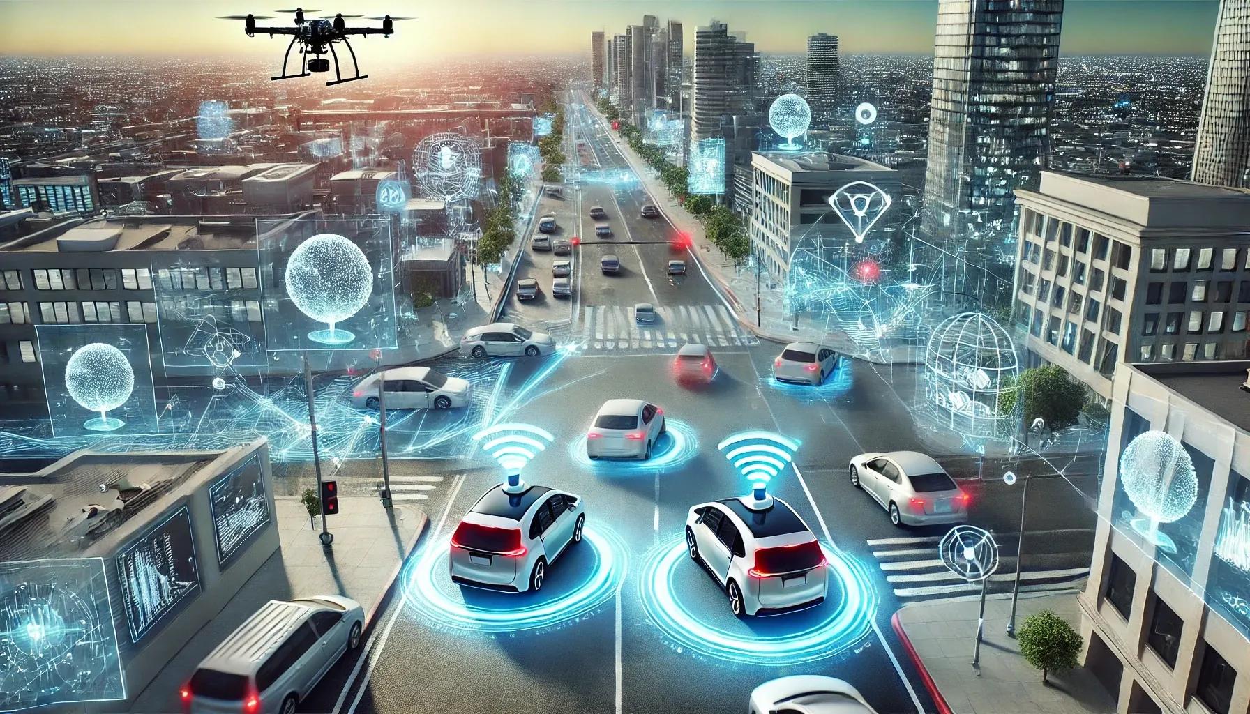
The rapid evolution of vehicle sensor technologies has significantly influenced the development of advanced transportation systems over the past decade. As the automotive industry moves steadily toward increasingly connected, autonomous, and electrified platforms, it has become evident that geospatial insights derived from vehicle sensors can transform how we manage, optimize, and understand transportation networks. By leveraging a variety of sensor inputs, ranging from GPS units and LiDAR arrays to camera-based perception systems and advanced onboard diagnostics, stakeholders in the transportation ecosystem can unlock valuable geospatial intelligence to enhance roadway efficiency, promote safety, inform infrastructure planning, and improve the overall travel experience.
At its core, this transformation is fueled by the ability of vehicle sensors to create continuous, high-resolution data streams that feed into sophisticated geospatial analysis tools. These tools, in turn, enable real-time interpretation of dynamic roadway conditions, delivering granular insights at scales and levels of detail previously unattainable. This article offers an in-depth look into the technologies behind vehicle sensors, the nature of the geospatial data they generate, and how these insights catalyze improvements in transportation systems worldwide.
A Convergence of Sensing Technologies
Modern vehicles integrate multiple sensor types, each contributing its own perspective and resolution to the geospatial data landscape:
Global Positioning System (GPS) and GNSS : Most connected vehicles rely on GPS or other Global Navigation Satellite Systems (GNSS) to determine their precise location and velocity. Advanced multi-constellation and multi-frequency GNSS receivers can achieve sub-meter accuracy, allowing for geospatially aware services. Beyond simple positioning, these receivers provide speed, heading, elevation, and time synchronization data. This foundational positioning layer enables the integration of more complex sensor data into cohesive geospatial maps.
Inertial Measurement Units (IMU) : IMUs combine accelerometers, gyroscopes, and sometimes magnetometers to provide detailed information about a vehicle’s orientation and movement dynamics. By fusing IMU data with GPS readings, advanced sensor fusion algorithms can maintain accurate positional information even when the satellite signal is temporarily lost, such as when a car is traveling under an overpass or through a tunnel. This consistent geospatial awareness is essential for reliable navigation and real-time mapping.
LiDAR and Radar Systems : LiDAR (Light Detection and Ranging) sensors emit pulses of laser light and measure the return times to build highly accurate 3D maps of the surrounding environment. Radar systems, conversely, use radio waves to detect objects and measure their speed. Both LiDAR and radar contribute object detection and classification capabilities, identifying other vehicles, cyclists, pedestrians, and infrastructure elements with remarkable precision. When combined with GPS coordinates, these sensors produce georeferenced environmental models that evolve in real time as the vehicle moves.
Camera-Based Perception Systems : Advanced camera arrays, often supplemented by computer vision algorithms and machine learning models, can interpret traffic signs, lane markings, signal states, and road surface conditions. By applying georeferencing, these visual features become tied to specific coordinates, enabling richly annotated geospatial datasets. This provides a foundation for improved digital maps that integrate semantic information, like speed limits, construction zones, and temporary road closures, into a spatial framework.
Vehicle-to-Everything (V2X) Communication : Beyond the onboard sensors, V2X communication systems leverage short-range wireless signals (DSRC or C-V2X) to share information between vehicles, infrastructure elements (e.g., traffic signals, road weather stations), and pedestrian devices. These streams of location-tagged data further refine situational awareness. Aggregated at a network scale, V2X data feeds into corridor-level insights about traffic flow, incident detection, and predictive modeling.
Data Fusion and Geospatial Analysis
Collecting data from vehicle sensors is only the first step. The real value emerges through data fusion, integrating diverse sensor streams into a coherent spatial-temporal model, and geospatial analysis, which extracts actionable insights. Key components include:
Sensor Fusion Algorithms : Robust sensor fusion algorithms, such as Extended Kalman Filters or particle filters, combine GPS and IMU data to maintain accurate positioning under challenging conditions. More complex pipelines integrate LiDAR point clouds and camera imagery to localize the vehicle precisely within a high-definition map. This multi-modal approach ensures a continuously refined geospatial representation of both the vehicle’s state and the surrounding environment.
Machine Learning and Computer Vision : Deep learning models run on camera streams to identify objects, classify road signs, and estimate free space. By anchoring detected features to geographic coordinates, these analytics produce spatiotemporal datasets that can be aggregated and mined for patterns, anomalies, and trends. Machine learning techniques also support predictive analytics, forecasting everything from future traffic densities to impending weather-related hazards.
High-Definition (HD) Maps and Real-Time Updates : Traditional navigation maps are evolving into three-dimensional, centimeter-level HD maps. These continuously updated maps incorporate static features like roadway geometry, guardrails, and speed limits alongside dynamic elements, including traffic conditions and temporary obstructions. Vehicles equipped with suitable sensors act as "crowdsourcing nodes," feeding real-time updates back into the central mapping services. This collective process improves situational awareness for all road users, not just those who contribute the data.
Enhancing Roadway Efficiency and Safety
The ultimate goal of integrating vehicle sensor data into transportation systems is to improve efficiency and safety. By understanding traffic patterns at a granular spatial level, transportation planners can identify bottlenecks, optimize signal timing, and allocate resources more effectively. Some key improvements include:
Advanced Traffic Management : Geospatial insights gleaned from aggregated vehicle data assist traffic management centers in controlling congestion. For example, near real-time traffic speed and density data, drawn from thousands of connected vehicles, can trigger dynamic adjustments to traffic lights, ramp meters, and variable speed limits. Spatial analysis enables the prediction of congestion hotspots and the proactive rerouting of traffic, reducing overall travel times and fuel consumption.
Infrastructure Planning and Maintenance : Detailed geospatial data supports more informed infrastructure planning. Accident reports tied to precise coordinates highlight problematic intersections or road sections that require safety improvements. Similarly, aggregated sensor data can reveal where pavement conditions degrade rapidly. Maintenance crews can then schedule targeted repairs or resurfacing projects, minimizing disruption and cost. Over time, these data-driven decisions lead to more resilient, sustainable transportation networks.
Incident Detection and Emergency Response : Vehicles equipped with cameras and sensors can detect accidents, stalled vehicles, or hazardous road conditions and relay this data in real time. Automated incident detection systems feed into operations centers, alerting emergency responders and traffic managers to critical events. By tagging these incidents with precise geospatial coordinates, dispatchers direct emergency crews more efficiently, reducing response times and improving outcomes for those involved.
V2X-Enabled Safety Applications : Vehicle-to-infrastructure communications foster an environment where signals can adapt to real-time conditions, warning drivers of upcoming hazards or adjusting signal timing to give priority to emergency vehicles. Geospatial insights integrate seamlessly into these applications, allowing roadside units (RSUs) to tailor messages or interventions to specific locations. For example, vehicles approaching a sharp curve with poor visibility could be alerted to slow down, mitigating the risk of collisions.
Supporting the Autonomous Future
The deployment of autonomous vehicles (AVs) depends heavily on geospatial insights derived from advanced sensing technologies. Self-driving systems rely on precise, continuous localization and rich environmental perception to safely navigate complex road networks. Here, vehicle sensors play a dual role: they provide the immediate situational awareness necessary for onboard decision-making, and they contribute to the shared spatial intelligence on which the entire AV ecosystem depends.
Map-Based Localization and Path Planning : AVs use high-fidelity geospatial maps combined with real-time sensor data to localize themselves and plan trajectories. These HD maps incorporate lane boundaries, intersection geometry, and known obstacles. As AVs travel, they identify their position within these maps, adjusting their path to accommodate dynamic conditions, other vehicles, pedestrians, or temporary obstructions.
Collaborative Mapping and Continuous Improvement : With large numbers of AVs on the road, each capable of capturing georeferenced 3D point clouds, image data, and object detections, the mapping process becomes continuous and collaborative. The collective intelligence of an AV fleet ensures that route guidance and perception models remain accurate and up-to-date, benefitting all vehicles in the network.
Regulatory Compliance and Geofencing : Autonomous vehicles operating under specific conditions may rely on geofenced areas where safety, regulations, and infrastructure support are well-understood. By integrating local geospatial rules, such as speed limits, no-go zones, and pick-up/drop-off areas, into their navigation logic, AVs ensure compliance. The sensors aboard the vehicles confirm that environmental conditions meet operational design domain criteria before proceeding.
In conclusion, as vehicles progress from passive modes of transportation to dynamic nodes in a connected ecosystem, their onboard sensors generate a wealth of geospatial data. This proliferation of data and insights, fueled by advanced perception technologies and robust analytics, has profound implications for the future of transportation. The integration of geospatial information into traffic management, infrastructure planning, autonomous navigation, and safety systems is already delivering tangible benefits.
By continuously refining maps and models in real time, vehicles armed with advanced sensors help build safer, more efficient, and more resilient transportation networks. As these sensor technologies mature and their costs decline, the entire sector, from metropolitan planning organizations and public transit agencies to automotive OEMs and mobility service providers, will continue to leverage geospatial insights to optimize transportation outcomes. The result is a more intelligent and responsive transportation system, better suited to the complexities of modern life and the challenges of future mobility.