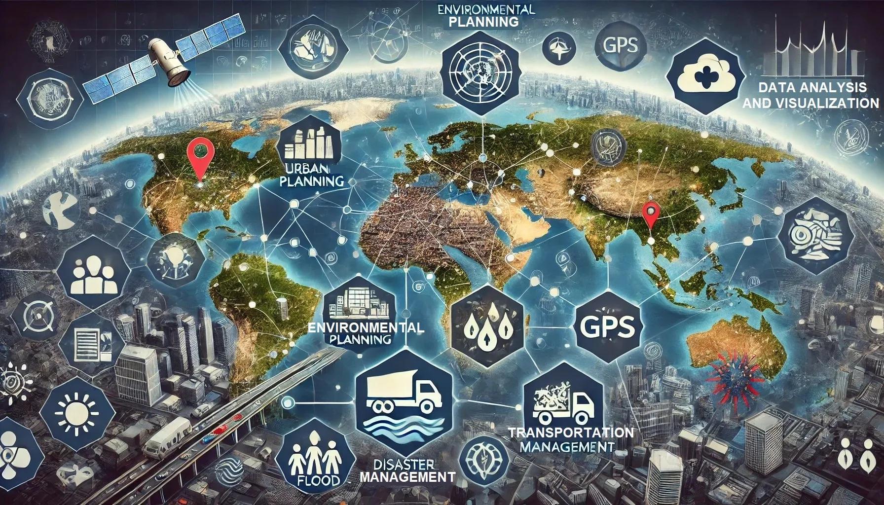
In the modern era, the ability to make informed decisions based on accurate, real-time data is crucial. One of the most valuable sources of such data is geospatial information. Geospatial data encompasses any data that is related to a specific location on the Earth's surface, and it plays a vital role in various sectors including urban planning, environmental monitoring, disaster management, and business logistics. This article provides a practical guide on how to utilize geospatial data for better decision making.
Understanding Geospatial Data
What is Geospatial Data?
Geospatial data refers to information that describes objects, events, or other features with a location on or near the Earth's surface. This data can be represented in various formats such as maps, satellite images, and 3D models. The two primary types of geospatial data are:
Vector Data : This includes points, lines, and polygons representing discrete objects like buildings, roads, and boundaries.
Raster Data : This consists of pixelated data like aerial photographs and satellite images, capturing continuous information such as temperature, elevation, and vegetation cover.
Sources of Geospatial Data
Geospatial data can be obtained from various sources:
Satellite Imagery : Provides comprehensive coverage of large areas and is essential for monitoring environmental changes, urban expansion, and natural disasters.
Aerial Photography : Offers high-resolution images useful for detailed mapping and analysis.
GPS Data : Enables precise location tracking and navigation, crucial for transportation and logistics.
Geographic Information Systems (GIS) : Integrates and analyzes spatial data, providing powerful tools for visualization and decision making.
LiDAR : Uses laser pulses to create detailed 3D models of the Earth's surface, useful for topographic mapping and infrastructure planning.
The Importance of Geospatial Data in Decision Making
Enhancing Situational Awareness
Geospatial data provides a visual context that enhances situational awareness, allowing decision-makers to understand the spatial relationships between different elements. For instance, in disaster management, real-time maps can show the extent of flooding or wildfire spread, helping emergency responders allocate resources effectively.
Improving Efficiency and Resource Management
Businesses and governments can optimize resource allocation by leveraging geospatial data. In urban planning, for example, GIS can identify suitable locations for new infrastructure projects, considering factors like population density, land use, and environmental impact. In agriculture, precision farming techniques use geospatial data to monitor crop health and optimize irrigation and fertilization.
Supporting Strategic Planning
Geospatial data aids in long-term strategic planning by providing insights into trends and patterns. For example, retail companies can analyze demographic and socioeconomic data to identify potential markets for expansion. Similarly, environmental agencies can monitor changes in land use and biodiversity to develop conservation strategies.
Practical Applications of Geospatial Data
Urban Planning and Development
Urban planners use geospatial data to design and manage urban spaces more effectively. GIS tools can analyze population growth, land use, transportation networks, and environmental factors to create sustainable urban development plans. By visualizing future scenarios, planners can make informed decisions about zoning, infrastructure investments, and public services.
Environmental Monitoring and Conservation
Geospatial data is crucial for monitoring environmental changes and implementing conservation efforts. Satellite imagery and remote sensing technologies can track deforestation, desertification, and climate change impacts over time. Conservationists can use this data to identify critical habitats, assess biodiversity, and plan protected areas.
Disaster Management
Effective disaster management relies on accurate and timely geospatial data. During natural disasters like earthquakes, hurricanes, and floods, real-time maps provide critical information about affected areas, enabling swift response and recovery efforts. GIS can also be used for risk assessment and disaster preparedness by mapping hazard zones and vulnerability.
Transportation and Logistics
Geospatial data improves transportation planning and logistics by optimizing routes and tracking assets. GPS and GIS technologies enable real-time vehicle tracking, helping companies reduce fuel consumption, delivery times, and operational costs. In public transportation, geospatial data can enhance route planning and improve service efficiency.
Public Health
Geospatial data plays a significant role in public health by tracking disease outbreaks and analyzing healthcare accessibility. During the COVID-19 pandemic, for example, GIS tools were used to map infection hotspots, monitor the spread of the virus, and allocate medical resources. Public health officials can use this data to design targeted interventions and improve healthcare delivery.
Steps to Utilize Geospatial Data Effectively
Step 1: Identify Objectives and Requirements
The first step in utilizing geospatial data is to clearly define the objectives and requirements of the project. Determine what specific questions need to be answered and what kind of geospatial data is needed. For example, if the goal is to assess flood risk, data on elevation, land use, and historical flood events will be required.
Step 2: Acquire Relevant Data
Next, acquire the necessary geospatial data from reliable sources. This may involve accessing satellite imagery, purchasing datasets from commercial providers, or collecting data through field surveys. Ensure that the data is up-to-date, accurate, and in a format suitable for analysis.
Step 3: Data Processing and Integration
Raw geospatial data often requires processing and integration before it can be used. This may involve converting data into a compatible format, georeferencing images, and cleaning or correcting errors. GIS software can help in merging different datasets, creating comprehensive maps and models.
Step 4: Data Analysis and Visualization
Analyze the processed data using GIS tools and other analytical methods. This step involves extracting relevant information, identifying patterns, and generating insights. Visualization techniques, such as thematic maps, 3D models, and interactive dashboards, can make the data more understandable and actionable.
Step 5: Decision Making and Implementation
Finally, use the insights gained from geospatial analysis to inform decision making. Develop actionable plans and strategies based on the data, and implement them accordingly. Continuously monitor and evaluate the outcomes, making adjustments as necessary to improve effectiveness.
Challenges and Considerations
While geospatial data offers numerous benefits, there are also challenges to consider:
Data Quality and Accuracy : Ensuring the accuracy and reliability of geospatial data is critical. Inaccurate data can lead to faulty analysis and poor decision making.
Data Integration : Integrating data from multiple sources can be complex, requiring careful alignment and consistency checks.
Privacy and Security : Handling geospatial data, especially location-based information, raises privacy and security concerns. It is essential to adhere to data protection regulations and implement robust security measures.
In conclusion, geospatial data is a powerful tool that can significantly enhance decision making across various sectors. By providing a spatial context, it allows for better understanding, planning, and management of resources and activities. This practical guide highlights the importance of geospatial data, its applications, and the steps to effectively utilize it. As technology advances and data becomes more accessible, the role of geospatial data in decision making will continue to grow, offering new opportunities for innovation and efficiency.