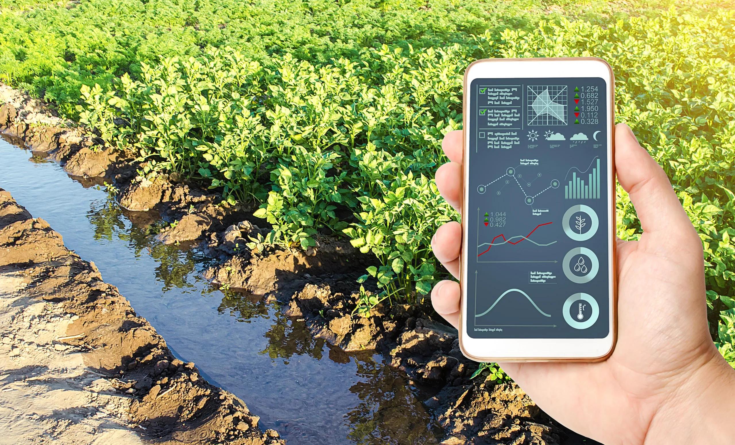
Soil health is fundamental to sustainable agricultural practices, environmental conservation, and climate resilience. Monitoring soil health has become a priority as the demand for efficient food production and land management increases globally. Traditional soil monitoring methods are often time-consuming, labor-intensive, and limited in spatial coverage. This is where geospatial technologies come into play, providing a scalable, accurate, and comprehensive solution for assessing soil conditions over vast areas.
Geospatial technologies, including Geographic Information Systems (GIS), Remote Sensing, Global Positioning Systems (GPS), and Unmanned Aerial Vehicles (UAVs), offer valuable tools for the collection, analysis, and visualization of soil data. When integrated into soil health monitoring, these technologies provide insight into various soil properties such as texture, moisture, organic matter content, and nutrient levels. This article delves into how these technologies are used to assess and monitor soil health, driving better decision-making in agricultural and environmental management.
Importance of Soil Health Monitoring
Healthy soil is crucial for supporting plant growth, maintaining ecosystem services, and regulating water cycles. It plays a critical role in carbon sequestration, which is important for mitigating climate change. Poor soil health can lead to reduced agricultural yields, increased erosion, and desertification, all of which have significant economic and ecological consequences. Thus, understanding and monitoring soil health is essential for ensuring sustainable agricultural practices and preserving environmental integrity.
Soil health monitoring involves assessing physical, chemical, and biological soil parameters. This includes the evaluation of soil pH, moisture content, nutrient availability, organic carbon levels, and the presence of beneficial microorganisms. Regular monitoring helps farmers and land managers make informed decisions about crop management, irrigation, and the application of fertilizers and pesticides, ensuring that agricultural practices do not degrade the soil over time.
Role of Geospatial Technologies in Soil Health Monitoring
Geospatial technologies enable the monitoring of soil health at various spatial and temporal scales, providing critical information for agricultural planning, land management, and policy formulation. The integration of GIS, remote sensing, GPS, and UAVs facilitates data collection from the field and analysis at a regional or global scale, which would be otherwise impossible using traditional methods.
1. Geographic Information Systems (GIS)
GIS plays a pivotal role in soil health monitoring by allowing the integration and analysis of diverse datasets related to soil properties. With GIS, soil data can be visualized as maps, providing a spatial understanding of soil health across different regions. This helps in identifying areas at risk of degradation or those in need of soil conservation measures.
GIS enables the layering of multiple data sources, such as satellite imagery, topographic maps, and soil sampling results, to provide a comprehensive picture of soil health. For example, GIS can integrate soil erosion models with climate data to predict areas vulnerable to erosion under various climate change scenarios. By overlaying soil health data with crop yield information, farmers can optimize their planting strategies to maximize productivity while minimizing soil degradation.
GIS also supports the use of spatially explicit models that simulate soil processes over time. This helps in understanding how factors like precipitation, land use, and soil management practices influence soil health. Through GIS-based modeling, predictions can be made regarding future soil conditions, enabling proactive measures to improve or maintain soil quality.
2. Remote Sensing
Remote sensing technology is a powerful tool for large-scale soil health monitoring. It involves the collection of data from satellites or airborne sensors to assess the characteristics of the Earth's surface, including soil. Remote sensing techniques can provide information on soil moisture, organic matter content, texture, and even soil salinity without the need for direct contact with the soil.
Multispectral and hyperspectral sensors on satellites or UAVs capture images of the land surface in different wavelengths. These images are then analyzed to determine various soil properties based on the reflectance of the soil in different spectral bands. For example, soils with high organic matter content absorb more visible light and reflect more infrared radiation, which can be detected using remote sensing instruments.
In addition to providing spatial coverage, remote sensing allows for temporal monitoring of soil health, capturing changes in soil properties over time. This is particularly useful for identifying trends such as soil degradation or recovery, which may not be apparent through field sampling alone. Remote sensing data is often combined with ground-based soil measurements to improve the accuracy and reliability of the results.
3. Global Positioning Systems (GPS)
GPS technology is widely used in precision agriculture and plays a key role in soil health monitoring by providing accurate geolocation data for soil samples and monitoring equipment. GPS allows for the precise mapping of soil characteristics, ensuring that data collected in the field can be accurately referenced to specific locations.
Farmers and researchers use GPS to guide soil sampling efforts, ensuring that samples are taken systematically across a field or region. This reduces sampling bias and allows for the creation of high-resolution soil maps, which can be used to identify spatial variability in soil health parameters.
GPS-enabled equipment is also used in real-time soil health monitoring systems. For instance, soil moisture sensors embedded in the ground can be connected to GPS devices to track moisture levels at specific locations. These sensors provide continuous, location-specific data that can be used to monitor soil health in real-time, informing irrigation decisions and other soil management practices.
4. Unmanned Aerial Vehicles (UAVs)
UAVs, or drones, have become increasingly popular in agriculture due to their ability to capture high-resolution images and data over large areas in a short amount of time. Equipped with multispectral or thermal sensors, UAVs can provide detailed information on soil conditions, such as moisture levels and temperature variations, that affect soil health.
Drones can fly at low altitudes, allowing for the collection of more detailed data than satellites or manned aircraft. This is particularly useful for monitoring soil health at the field level, where fine-scale variations in soil properties may impact crop growth. By capturing real-time data on soil conditions, UAVs enable farmers to make timely decisions regarding irrigation, fertilization, and soil management practices.
UAVs can also be used for precision soil sampling. By mapping soil variability within a field, drones can guide farmers to specific areas that require sampling, reducing the number of samples needed while improving the accuracy of the data collected.
Benefits of Using Geospatial Technologies for Soil Health Monitoring
The use of geospatial technologies in soil health monitoring offers several advantages over traditional methods:
Scalability : Geospatial technologies allow for the monitoring of large areas of land, making them suitable for regional or national soil health assessments.
Efficiency : Data collection is faster and less labor-intensive, reducing the time and cost associated with soil monitoring.
Accuracy : Remote sensing and GPS technologies provide high-resolution data that improves the precision of soil health assessments.
Temporal Monitoring : Geospatial technologies enable continuous or periodic monitoring of soil conditions, allowing for the detection of trends and changes over time.
Integration of Data : GIS allows for the integration of multiple datasets, providing a more comprehensive understanding of soil health and its relationship with other environmental factors.
In conclusion, geospatial technologies have revolutionized soil health monitoring, offering innovative ways to collect, analyze, and visualize soil data. By integrating GIS, remote sensing, GPS, and UAV technologies, stakeholders in agriculture and environmental management can make more informed decisions to ensure sustainable land use and preserve soil health. The adoption of these technologies is crucial for improving agricultural productivity, mitigating the impacts of climate change, and promoting environmental conservation.
As the demand for sustainable agriculture and efficient land management practices grows, the role of geospatial technologies in soil health monitoring will continue to expand, providing critical insights into one of the most essential resources on Earth – soil.