Decisions are expensive experiments
Every major infrastructure, expansion, or policy decision is an experiment.
The difference is that most experiments are conducted in the real world, with real capital, real time, and real consequences.
What if those decisions could be tested first?
The real decision behind simulation
Leaders across infrastructure, logistics, utilities, urban planning, and industry face high-impact choices:
What happens if we expand into this corridor?
How will traffic change if this road is added?
What is the impact of relocating a facility?
How will flood risk evolve under a new drainage plan?
Traditionally, answers rely on historical patterns or static feasibility reports.
But today’s environments are dynamic.
The real need is not historical validation.
It is forward-looking confidence.
Why geospatial simulation changes the conversation
Geospatial intelligence enables organizations to model scenarios before acting.
By integrating:
Demographic projections
Climate models
Infrastructure capacity
Mobility data
Asset networks
Land-use patterns
Organizations can simulate possible outcomes spatially.
Instead of asking:
“Is this a good decision?”
They begin asking:
“What happens if we implement it?”
That shift reduces uncertainty.
From data to decision: the scenario flow
A structured spatial simulation framework often follows:
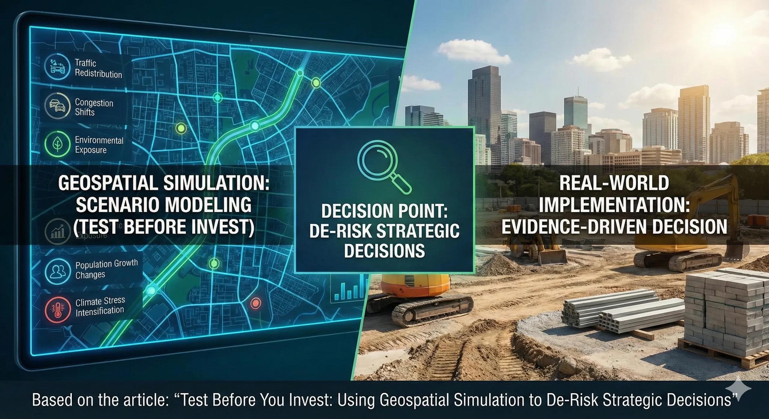
Current state mapping → scenario definition → spatial model execution → outcome comparison → decision refinement
Scenarios may include:
Population growth changes
Traffic redirection
Climate stress intensification
Infrastructure expansion
Service relocation
The result is not a guess.
It is a comparative outcome map.
A practical scenario
Imagine a city planning a new transport corridor.
Before construction begins, simulation models evaluate:
Traffic redistribution
Congestion shifts
Impact on surrounding land values
Environmental exposure
Service accessibility changes
Two alternative alignments are tested.
One improves traffic but increases flood vulnerability.
The other slightly increases cost but reduces long-term disruption risk.
The final decision becomes evidence-driven, not politically driven.
Business and operational impact
Organizations that apply spatial simulation typically achieve:
Lower capital misallocation
Improved stakeholder confidence
Stronger regulatory justification
Reduced unintended consequences
Higher long-term ROI
The real benefit is not certainty.
It is controlled uncertainty.
Where scenario planning often falls short
Common limitations include:
Planning based solely on spreadsheets
Ignoring spatial interdependencies
Testing only financial scenarios
Failing to integrate climate or demographic shifts
Without spatial modeling, second-order effects remain hidden.
Simulation reveals ripple impacts before they materialize.
Scaling simulation into decision ecosystems
Forward-looking organizations integrate simulation capabilities into:
Regional digital twins
Infrastructure planning dashboards
Policy impact assessments
Capital investment reviews
Simulation becomes part of routine decision validation, not a special study.
This naturally aligns with BIM, IoT, and real-time data systems, creating predictive digital environments.
The monetization bridge
As complexity increases, manual scenario evaluation becomes impractical. Organizations increasingly look for structured advisory approaches and scalable spatial decision platforms that integrate simulation workflows into strategic planning, ensuring every major investment is tested before execution.
Looking ahead
With AI-driven modeling, high-resolution satellite data, and dynamic digital twins, simulation will evolve toward continuous scenario forecasting.
Organizations will not just ask:
“What if?”
They will continuously monitor:
“What if conditions shift tomorrow?”
Closing insight
The safest investment is not the cheapest one.
It is the one tested against future realities before it is built.