Markets don’t grow uniformly.
Demand doesn’t rise everywhere at once.
Expansion opportunities don’t spread evenly across regions.
Growth has geography.
The organizations that recognize where momentum is already building move faster, and with less risk.
The real decision behind expansion
Whether it’s retail, healthcare, logistics, manufacturing, or public infrastructure, leaders constantly face one question:
Where should we expand next?
The challenge isn’t ambition, it’s alignment.
Many expansion decisions are based on:
Historical performance
Broad demographic averages
Land availability
Competitor presence
But these inputs rarely reveal micro-level demand intensity or emerging growth corridors .
Expansion without spatial intelligence becomes reactive.
Why location intelligence changes growth strategy
Geospatial intelligence transforms expansion planning by revealing:
Population density and migration patterns
Income clusters and consumption zones
Infrastructure accessibility
Transit corridors
Competitor proximity
Urban sprawl direction
Service coverage gaps
Instead of asking, “Which city should we enter?” , organizations begin asking:
“Which micro-zones within this region are showing early demand signals?”
That shift improves capital efficiency dramatically.
From data to decision: the demand mapping flow
A structured spatial growth analysis typically follows:
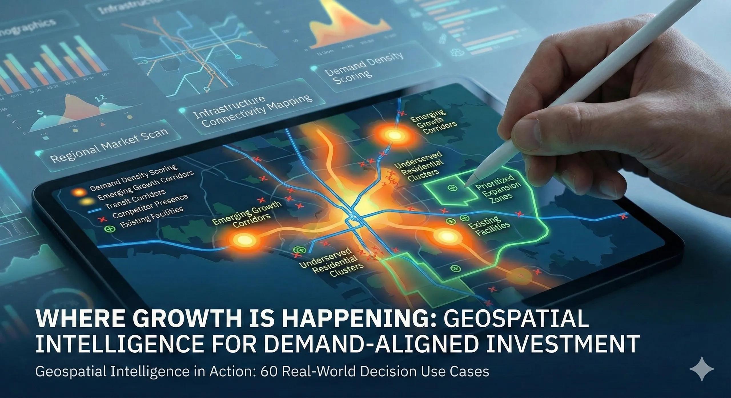
Regional market scan → demographic and economic overlays → infrastructure connectivity mapping → demand density scoring → prioritized expansion zones
This approach turns expansion into a ranked opportunity map, not a speculative leap.
The output is not just a heatmap.
It’s a capital allocation strategy.
A practical scenario
Imagine a healthcare provider planning to open new diagnostic centers.
City-level analysis shows overall demand growth. But spatial mapping reveals:
Underserved residential clusters far from existing facilities
High population density areas with poor transit connectivity
Emerging housing corridors with rising income levels
Instead of opening a center in a saturated commercial zone, the provider selects a location aligned with underserved demand.
The result:
Faster patient acquisition
Lower marketing cost
Stronger long-term utilization
The decision wasn’t louder.
It was sharper.
Business and operational impact
Organizations using geospatial demand mapping often experience:
Higher ROI on expansion
Reduced cannibalization across branches
Better service accessibility
Improved customer reach
Faster break-even cycles
The biggest gain is not speed, it’s precision.
Where expansion strategies often fall short
Common pitfalls include:
Expanding where competitors already dominate
Relying on macro statistics without local granularity
Ignoring infrastructure accessibility
Overlooking underserved micro-clusters
Treating expansion as a periodic decision rather than a dynamic process
Without spatial intelligence, growth becomes opportunistic rather than strategic.
Scaling growth intelligence into a decision system
Leading organizations move beyond one-time feasibility studies.
They build ongoing spatial intelligence systems that continuously monitor:
Demographic shifts
Urban expansion
Infrastructure projects
Consumption patterns
Service gaps
This connects naturally with digital twins, enterprise systems, and real-time analytics, turning growth into a monitored variable rather than a one-time guess.
The monetization bridge
As organizations expand across multiple regions, manual demand analysis becomes unsustainable. At this stage, structured advisory frameworks and scalable geospatial decision platforms help standardize how opportunity zones are identified, scored, and prioritized, making growth strategy repeatable rather than intuitive.
Looking ahead
With AI-driven predictive modeling, mobility data, and satellite monitoring, demand mapping is shifting from descriptive to anticipatory.
Expansion decisions will increasingly answer not just:
“Where is demand today?”
But:
“Where will demand emerge next?”
Closing insight
Growth is rarely random.
It clusters.
It signals.
It moves in patterns.
The advantage belongs to those who can see it forming before everyone else does.