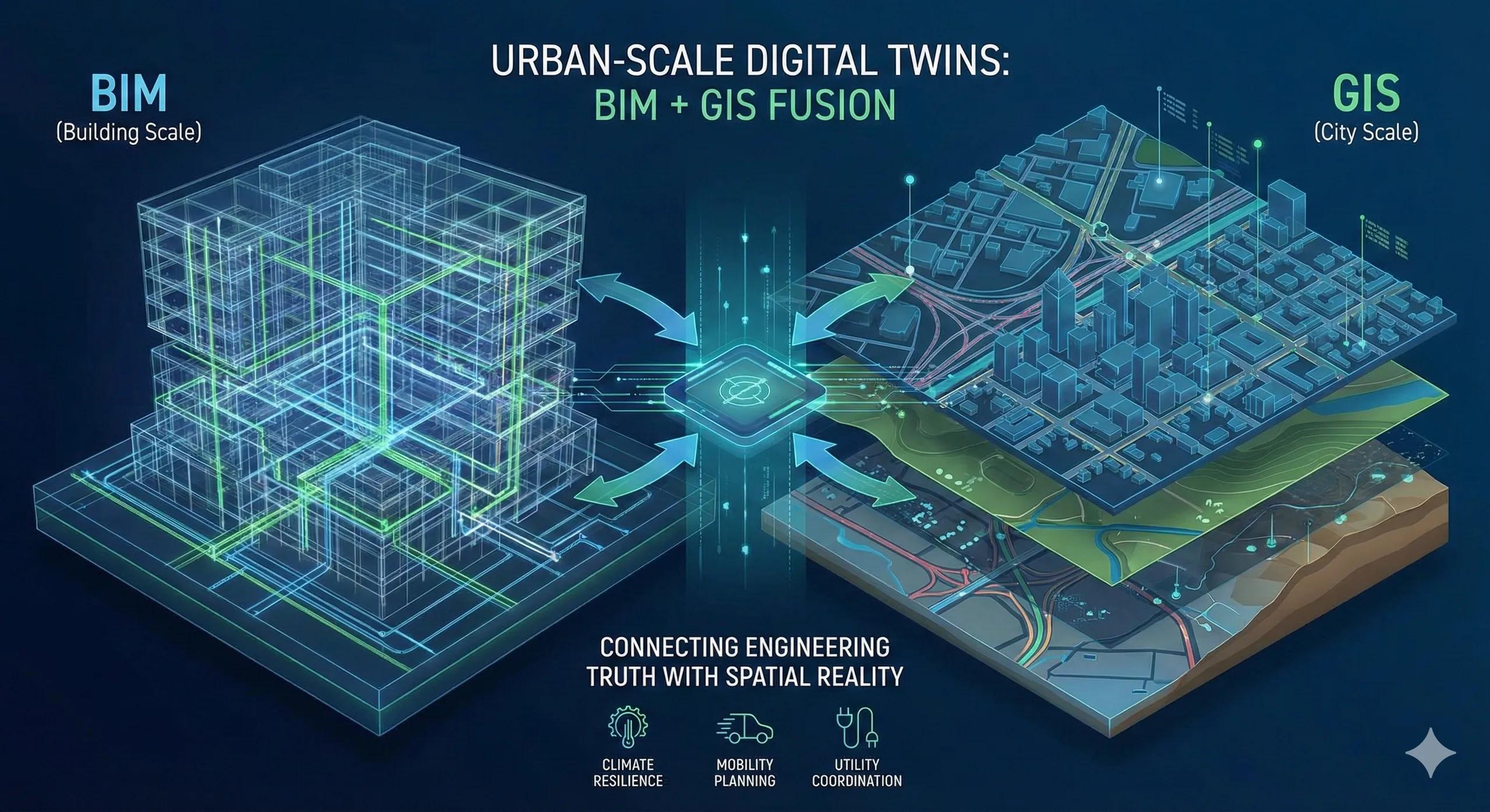
Most BIM initiatives are successful at the building scale .
Most GIS platforms are effective at the city scale .
Urban-scale digital twins emerge only when these two worlds are deliberately fused , not stitched together after the fact.
This fusion is not about bigger models.
It’s about connecting decisions across scales .
1. Why BIM Alone Cannot Scale to Cities
BIM excels at:
Geometry precision
Discipline coordination
Construction sequencing
But at city scale, BIM struggles with:
Spatial continuity across assets
Long-term data governance
Integration with demographics, mobility, utilities, and environment
A city is not a collection of buildings.
It is a system of systems .
2. Why GIS Alone Cannot Capture Urban Reality
GIS excels at:
Spatial context
Networks and territories
Policy, planning, and analytics
But GIS alone lacks:
Engineering-grade geometry
Construction logic
Asset-level lifecycle detail
Cities need both precision and context .
3. What BIM + GIS Fusion Actually Means
True fusion is not exporting BIM into a map.
It means:
BIM models are spatially referenced and governed
GIS provides the authoritative spatial framework
Assets retain identity across scales
Data flows both ways (not one-time dumps)
Fusion is architectural, not cosmetic.
4. The Urban Twin Stack (Conceptually)
A practical urban digital twin stack looks like:
Base layer : Terrain, parcels, infrastructure networks (GIS)
Asset layer : Buildings, bridges, utilities (BIM)
Operational layer : Sensors, schedules, events
Analytics layer : Risk, demand, performance, scenarios
Each layer has a role. None replaces the others.
5. What Urban-Scale Twins Enable
When BIM and GIS are fused, cities can:
Simulate flood and heat risk at neighborhood scale
Coordinate utilities across agencies
Plan mobility and land-use together
Assess climate resilience of assets
Prioritize investments based on evidence
This is decision intelligence , not visualization.
6. Why Most “City Twins” Fail Early
Common reasons:
BIM models are not spatially aligned
Data ownership is unclear
Governance is missing
Updates are manual and brittle
Projects end; data continuity doesn’t
Urban twins fail when treated as projects , not platforms.
7. India Context: Why Fusion Is Non-Negotiable
In Indian cities:
Density amplifies risk
Infrastructure overlaps
Climate stress is rising
Data is fragmented across agencies
Urban-scale digital twins can:
Break silos
Improve coordination
Support evidence-based policy
Reduce reactive decision-making
But only if BIM–GIS fusion is intentional.
8. From Smart Cities to Smart Decisions
Smart cities are often defined by:
Dashboards
Sensors
Control rooms
Urban digital twins should be defined by:
Better planning decisions
Reduced risk exposure
Measurable outcomes
Intelligence is not in the interface.
It’s in the integration.
9. Governance Determines Success More Than Technology
Urban twins require:
Clear data custodianship
Defined update responsibilities
Inter-agency trust
Long-term funding models
Without governance, even the best tech decays.
10. A Simple Urban Twin Rule
If a digital twin cannot connect building-level decisions to city-level outcomes, it is not urban-scale.
Conclusion
Urban-scale digital twins are not about modeling cities in 3D.
They are about connecting engineering truth with spatial reality .
When BIM and GIS are fused:
Cities become understandable systems
Assets gain long-term context
Policy decisions gain evidence
Digital twins deliver value
Without fusion, models stay isolated, and cities stay reactive.