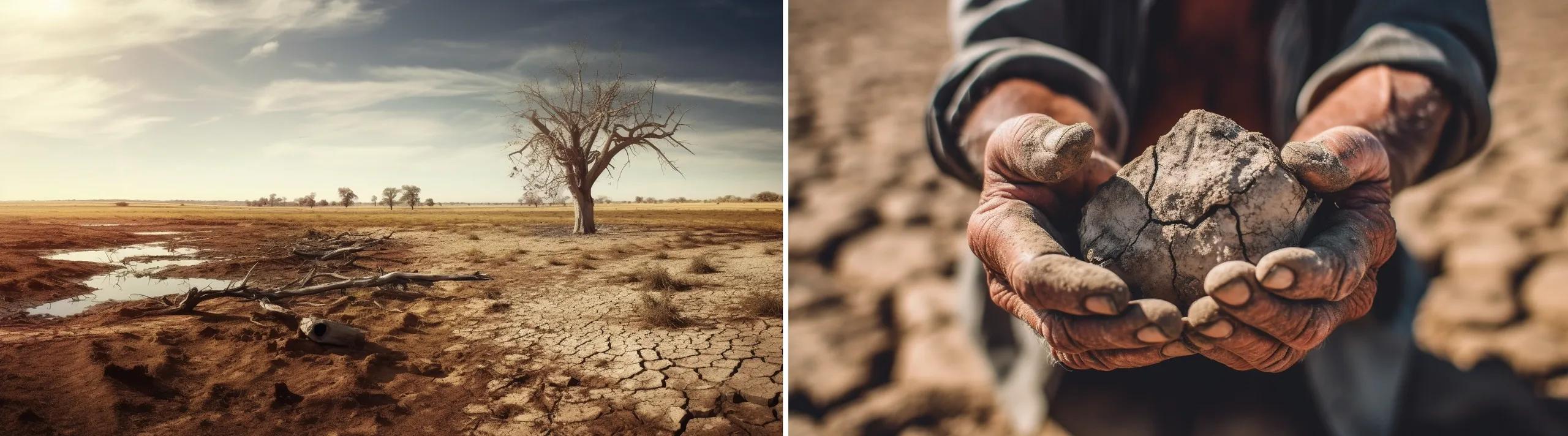
In recent years, the United States has been grappling with an escalating drought crisis, a phenomenon with far-reaching implications for both the environment and society. While natural weather patterns play a role, there's an undeniable human hand in the intensification of these droughts. Geospatial technology, with its ability to map, monitor, and analyze environmental changes, offers a unique lens through which we can critically examine this crisis. This article delves into the causes and effects of the drought, integrating insights from geospatial data.
1. The Dynamic Nature of Weather Patterns: A Geospatial Perspective
Weather patterns are inherently unpredictable. For instance, the recent rains from Tropical storm Hilary brought significant relief to drought-stricken California. However, relying on sporadic events is not a sustainable solution.
Cause: Geospatial technology, through satellite imagery and remote sensing, has shown the rapid fluctuations in weather patterns, exacerbated by climate change. These tools provide visual evidence of regions swinging between extremes.
Effect: With geospatial data, policymakers and farmers can better anticipate and respond to these changes. For instance, Geographic Information Systems (GIS) can help in predicting areas most likely to be affected by drought, allowing for proactive agricultural planning.
2. The Alarming Trend of Prolonged Droughts: Mapping the Crisis
The trend of prolonged and intense drought periods in the U.S. is alarming. Over 60% of the country has been affected for extended durations.
Cause: Human-induced climate change, evident in geospatial analyses, is a significant factor. Satellite imagery reveals the extent of deforestation and changes in land use, which contribute to altered weather patterns.
Effect: Geospatial tools can map the cascading effects of prolonged droughts. For instance, they can monitor reservoir levels, track the migration of wildlife, and even predict potential wildfire hotspots based on vegetation dryness and historical data.
3. The Climate Change Connection: Visualizing the Impact
The Western U.S. has been a hotspot for recurring droughts. Geospatial technology offers a visual testament to the changing landscape and the human-induced factors behind it.
Cause: Through thermal imaging and satellite data, we can observe the rise in global temperatures and its correlation with human activities like fossil fuel combustion. These geospatial insights provide undeniable evidence of our contribution to the crisis.
Effect: GIS and other geospatial tools can model the socio-economic impacts of these shifts. By overlaying drought data with agricultural yields, economic outputs, and population densities, we can visualize the regions most at risk and anticipate potential conflicts over dwindling resources.
In conclusion, the drought crisis in the United States is a multi-faceted issue, and geospatial technology offers a comprehensive way to understand its depth and breadth. By integrating satellite imagery, GIS, and remote sensing data, we can critically examine the causes and effects of the crisis, making the invisible visible. As we move forward, harnessing the power of geospatial technology will be crucial in devising sustainable solutions and mitigating the impacts of this unfolding crisis.