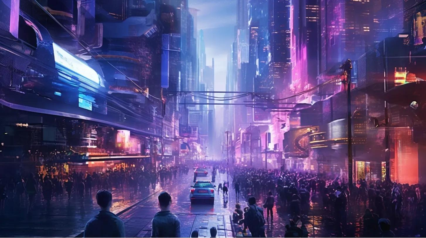
As cities evolve into intelligent ecosystems, geospatial digital twins are gaining prominence as game-changing instruments for city administration and planning. These virtual models of real-world settings offer instantaneous insights into diverse urban elements, from vehicular movement to auditory pollution. A recent piece by Adina Gillespie, dated October 2, 2023, estimates that the digital twin industry could be worth an astonishing $73.5 billion by the year 2027. This composition seeks to explore the groundbreaking capabilities of geospatial digital twins, emphasizing four principal areas where they can bring about substantial improvements.
Universal Access to Geospatial Tools
One of the most compelling facets of the digital twin evolution is the widespread accessibility of geospatial tools. Technological advancements in sensor devices and machine learning have rendered these tools increasingly cost-effective and user-friendly. This universal access extends beyond affluent metropolises to smaller municipalities and even emerging economies. The cost-effectiveness of data collection sensors is catalyzing the mass adoption of digital twin technologies, thereby democratizing urban planning solutions globally.
Instantaneous Decision-Making: The Perpetual Data Cycle
A distinguishing characteristic of digital twins is the perpetual cycle of real-time data. This feature equips city planners with an unparalleled understanding of the existing state of urban settings. It also allows them to identify potential hurdles and formulate more effective strategies. The real-time data stream enables proactive actions and choices, signifying a transformative change in the responsibilities of city planners. They can now base their decisions on immediate insights, thereby elevating the effectiveness and sustainability of urban landscapes.
Business Utilization: Extending Beyond City Management
Although digital twins are primarily geared towards city planning, their utility extends to the corporate sector as well. Companies can employ digital twins for a variety of commercial objectives, such as property development, occasion organization, and even consumer engagement. The data sets and the analytical and simulation tools that utilize the 3D data are readily available for productive corporate use. This broadens the scope for business opportunities, from precision marketing approaches to streamlined logistics management.
Impactful Use Cases
Managing Vehicular Traffic
One of the most pressing applications for digital twins lies in alleviating traffic bottlenecks. By generating intricate virtual duplicates of urban landscapes, planners can foresee the cascading effects of disruptions. For example, digital twins can simulate new freight unloading zones near bustling retail areas. When integrated with live traffic statistics and machine learning, planners can model traffic behavior to identify potential congestion points and allocate alternative pathways for large freight vehicles, thus minimizing disturbances.
Auditory Pollution Cartography
Another vital use case is in the cartography of auditory pollution. Digital twins can model sound levels across various city regions, aiding planners in pinpointing areas requiring noise mitigation measures. This is particularly beneficial for residential localities, healthcare facilities, and educational institutions, where excessive noise can adversely impact health and wellness.
Planning High-Rise Structures
In swiftly expanding urban locales, the erection of towering structures is unavoidable. Digital twins can simulate how these new edifices will integrate into the existing urban fabric, assisting in zoning determinations and impact evaluations. They can model the structure at diverse elevations, enabling planners to gauge the effects on visual corridors, parking availability, and even thermal impacts.
Organizing Events
Event coordinators can exploit digital twins to produce remarkably precise and detailed virtual venue models. These models can model crowd dynamics, optimize seating configurations, and even strategize for emergency evacuations. This eradicates the uncertainties inherent in conventional planning methods, allowing events to be rigorously designed and optimized.
Final Thoughts
The emergence of geospatial digital twins signifies a fundamental shift in urban planning and governance. Their capacity to offer immediate insights and facilitate informed decision-making positions digital twins as transformative agents in shaping smarter, more efficient, and more sustainable cities. As this technology continues to mature, it promises to enhance the living conditions for all urban dwellers.
Given the groundbreaking nature of this technology, it is crucial for stakeholders across public and private sectors to invest in its widespread adoption. Only through such collective efforts can we fully tap into the extensive benefits that geospatial digital twins promise to deliver.
Reference:
https://www.gim-international.com/content/article/geospatial-digital-twins-will-make-cities-smarter