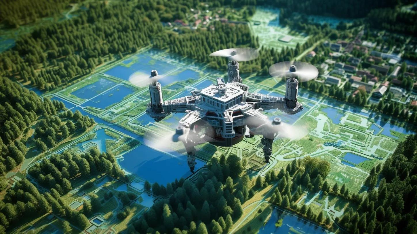
In the rapidly advancing realm of technology, UAV LIDAR Mapping stands out as a transformative tool in topographic aerial data collection. This method, celebrated for its cost-effectiveness, time efficiency, and precision, has revolutionized the way we gather and interpret geographical data. But what makes UAV LIDAR Mapping so special, and why is it becoming an indispensable tool in modern surveying? Let's dive deeper into this technology, exploring its benefits, challenges, and costs associated with it.
Understanding UAV LIDAR Mapping
UAV LIDAR Mapping employs green light laser technology, enabling it to deliver seamless information even underwater. Such capabilities are crucial for accurate hazard zone planning, especially in flood protection scenarios. The inherent flexibility and operating parameters of drones make them the perfect vehicles for this technology. Drones equipped with LiDAR sensors can effortlessly traverse challenging terrains, collecting data from areas that would be difficult or downright impossible to access on foot.
Advantages of Using LiDAR for Topographic Mapping
1. Access to Inaccessible Locations: LiDAR's prowess lies in its ability to gather data from hard-to-reach places, be it towering mountains, dense forests, or rugged landscapes[^1^][^3^].
2. Efficiency through Automation: LiDAR's primarily automated processes make it a more efficient alternative to traditional surveying methods that demand significant manual involvement[^1^].
3. High Accuracy Over Large Areas: With LiDAR, vast expanses can be scanned while ensuring top-notch accuracy in the results[^1^][^4^].
4. Penetration Capabilities: LiDAR can see through vegetation and other obstructions, ensuring the ground below is mapped with precision[^6^].
5. Cost and Time Efficiency: According to a study[^1^], LiDAR services typically range between $6,500 to $9,000 per day, with costs going up to $12,000 based on specific client needs. However, high volume and multi-day usage can lead to significant discounts. The cost of a drone LiDAR survey can vary based on factors like precision level, required outputs, area size, terrain type, and location remoteness. The integration of lightweight LiDAR sensors into commercial drones has further reduced the costs associated with LiDAR mapping[^6^].
6. Advanced LiDAR Solutions: The YellowScan Vx15-100, for instance, is a high-end UAV LIDAR mapping solution. It incorporates a Riegl Mini-VUX-1UAV LiDAR sensor and an Applanix APX-15 UAV, making it a top choice for professionals seeking precision[^9^].
Disadvantages of Using LiDAR for Topographic Mapping
1. Skilled Data Analysis Requirement: The intricate data collected by LiDAR demands advanced analysis techniques, potentially increasing project costs[^2^].
2. Altitude Limitations: LiDAR's operational altitude is capped between 500-2000m, making it unsuitable for projects at higher altitudes[^2^].
3. Historical Cost Concerns: Traditional LiDAR capture methods involved manned aircraft, which came with hefty operational costs[^3^].
In conclusion, UAV LIDAR Mapping, with its myriad advantages, is undeniably a force to reckon with in the realm of topographic mapping. While it does come with its set of challenges, the benefits, especially when combined with the versatility of drones, make it a preferred choice for many projects. As technology continues to evolve, it's exciting to envision the future possibilities and advancements that UAV LIDAR Mapping will usher in.
Citations:
[^1^]: [Fly Guys]( https://flyguys.com/advantages-disadvantages-lidar-technology/ )
[^2^]: [Lidar Radar]( https://lidarradar.com/info/advantages-and-disadvantages-of-lidar )
[^3^]: [Scout Aerial]( https://www.scoutaerial.com.au/article-lidar/ )
[^4^]: [Land Point]( https://www.landpoint.net/uav-lidar-mapping/ )
[^5^]: [Above Surveying]( https://www.abovesurveying.com/lidar-for-topographic-mapping-advantages-and-disadvantages/ )
[^6^]: [QLD Drones]( https://qlddrones.com.au/blog/how-much-does-lidar-mapping-cost/ )
[^9^]: [Unmanned Systems Technology]( https://www.unmannedsystemstechnology.com/company/yellowscan/ )
[^10^]: [MDPI]( https://www.mdpi.com/1424-8220/23/1/292 )