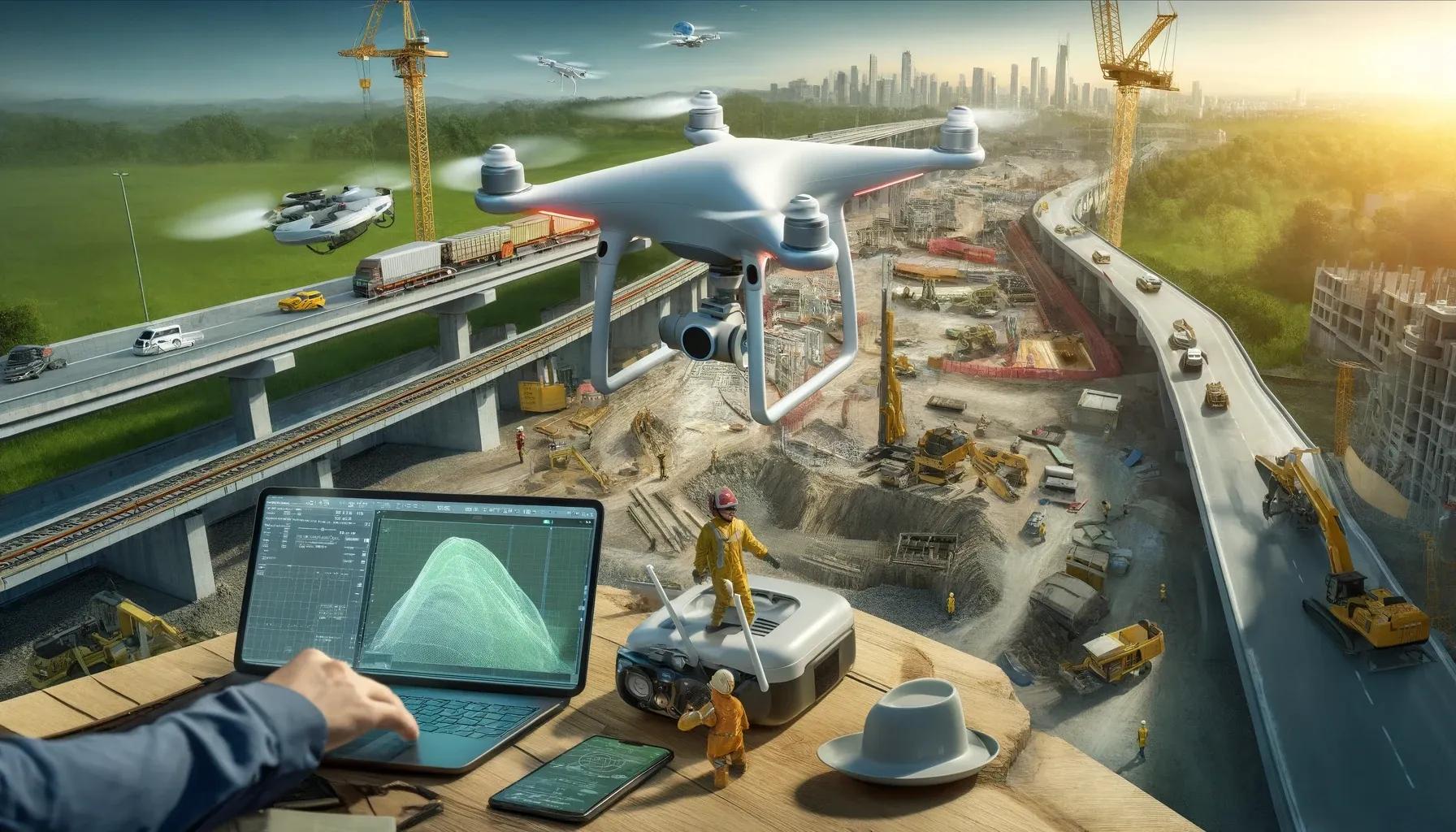
The integration of Unmanned Aerial Vehicles (UAVs), commonly known as drones, has revolutionized various industries, and construction is no exception. While aerial photography is one of the most visible and popular uses of UAVs in construction, their applications extend far beyond capturing stunning images from above. This article delves into the diverse and sophisticated roles that UAVs play in modern construction projects, highlighting their impact on efficiency, accuracy, safety, and overall project management.
Surveying and Mapping
One of the primary applications of UAVs in construction is surveying and mapping. Traditional surveying methods can be time-consuming and labor-intensive, often requiring significant manpower and equipment. UAVs equipped with high-resolution cameras and LiDAR sensors can rapidly collect accurate topographic data over large areas. This data is processed to create detailed 3D models, contour maps, and Digital Elevation Models (DEMs), which are essential for planning and design phases.
By employing UAVs for surveying, construction companies can significantly reduce the time and cost associated with traditional methods. Moreover, the high level of detail and accuracy provided by UAV-generated data ensures better decision-making and project planning.
Site Inspection and Monitoring
UAVs play a crucial role in site inspection and monitoring, offering a bird’s-eye view of construction sites that is difficult to achieve through conventional methods. Regular aerial inspections using drones can track the progress of a project, identify potential issues, and ensure compliance with design specifications. These inspections are particularly useful for monitoring hard-to-reach or hazardous areas, enhancing safety for on-site workers.
Through real-time data transmission and high-resolution imaging, UAVs enable project managers to conduct virtual site visits, make informed decisions, and address issues promptly. This capability not only improves efficiency but also helps in maintaining timelines and budgets.
Volume Measurements and Earthworks
Accurate volume measurements are critical in construction, particularly for earthworks involving excavation, filling, and grading. UAVs equipped with photogrammetry software can capture detailed images of stockpiles and excavation sites, which are then processed to calculate volumes with high precision. This method is faster and more accurate than traditional manual measurements.
By providing precise volume data, UAVs help construction managers to optimize material usage, reduce waste, and manage costs effectively. This application is especially beneficial for large-scale projects where even small inaccuracies can lead to significant financial implications.
Building Information Modeling (BIM) Integration
Building Information Modeling (BIM) is a cornerstone of modern construction, offering a digital representation of the physical and functional characteristics of a building. UAVs enhance BIM by providing up-to-date aerial data that can be integrated into BIM software. This integration facilitates accurate and real-time updates to the BIM model, reflecting the actual site conditions.
UAV-captured data ensures that the BIM model remains accurate throughout the construction process, supporting better coordination among stakeholders, reducing errors, and improving overall project management. This synergy between UAVs and BIM exemplifies the potential of combining advanced technologies for optimal construction outcomes.
Safety and Risk Management
Safety is a paramount concern in construction, and UAVs contribute significantly to enhancing on-site safety. By conducting aerial surveys and inspections, UAVs can identify potential hazards, monitor safety compliance, and assess the structural integrity of buildings. This proactive approach helps in mitigating risks before they escalate into serious issues.
UAVs can also be equipped with thermal imaging cameras to detect heat anomalies, which are indicative of electrical faults, water leaks, or insulation issues. Early detection of such problems prevents costly repairs and ensures the safety of both the construction site and the finished structure.
Infrastructure Inspection and Maintenance
Beyond the construction phase, UAVs are invaluable for the inspection and maintenance of infrastructure. Bridges, roads, pipelines, and other critical infrastructure require regular inspections to ensure their structural integrity and longevity. UAVs can access these structures easily, capturing high-resolution images and videos for detailed analysis.
For instance, UAVs can inspect bridges for cracks, corrosion, or other signs of wear and tear without the need for scaffolding or road closures. Similarly, they can monitor pipelines for leaks or damage, providing a safer and more efficient alternative to manual inspections. This capability extends the lifespan of infrastructure and reduces maintenance costs.
Environmental Impact Assessment
Construction projects often have significant environmental implications, necessitating thorough environmental impact assessments (EIAs). UAVs facilitate these assessments by providing comprehensive aerial data on the project site and its surroundings. This data includes information on vegetation cover, water bodies, soil conditions, and wildlife habitats.
By analyzing UAV-captured data, environmental scientists and engineers can assess the potential impact of construction activities and develop mitigation strategies to minimize adverse effects. This application underscores the importance of UAVs in promoting sustainable construction practices and ensuring regulatory compliance.
Precision Agriculture in Construction Landscaping
In construction projects involving landscaping, such as golf courses, parks, and residential developments, UAVs are used for precision agriculture applications. These drones can survey the land, assess soil health, and monitor plant growth, ensuring that landscaping efforts are efficient and effective.
UAVs equipped with multispectral cameras can capture data on plant health, moisture levels, and nutrient content. This information allows landscapers to implement targeted interventions, optimize irrigation, and promote healthy plant growth. The result is a well-maintained landscape that enhances the aesthetic and functional value of the construction project.
In conclusion, the applications of UAVs in construction extend far beyond the realm of aerial photography. From surveying and mapping to site inspection, volume measurements, BIM integration, safety management, infrastructure maintenance, environmental assessments, and precision agriculture, UAVs are transforming the construction industry. Their ability to provide accurate, real-time data and access hard-to-reach areas enhances efficiency, safety, and decision-making, ultimately contributing to the success of construction projects.
As technology continues to advance, the potential for UAV applications in construction will only grow, offering new opportunities for innovation and improvement. Embracing UAV technology is no longer an option but a necessity for construction companies aiming to stay competitive and deliver high-quality projects in an increasingly demanding industry.