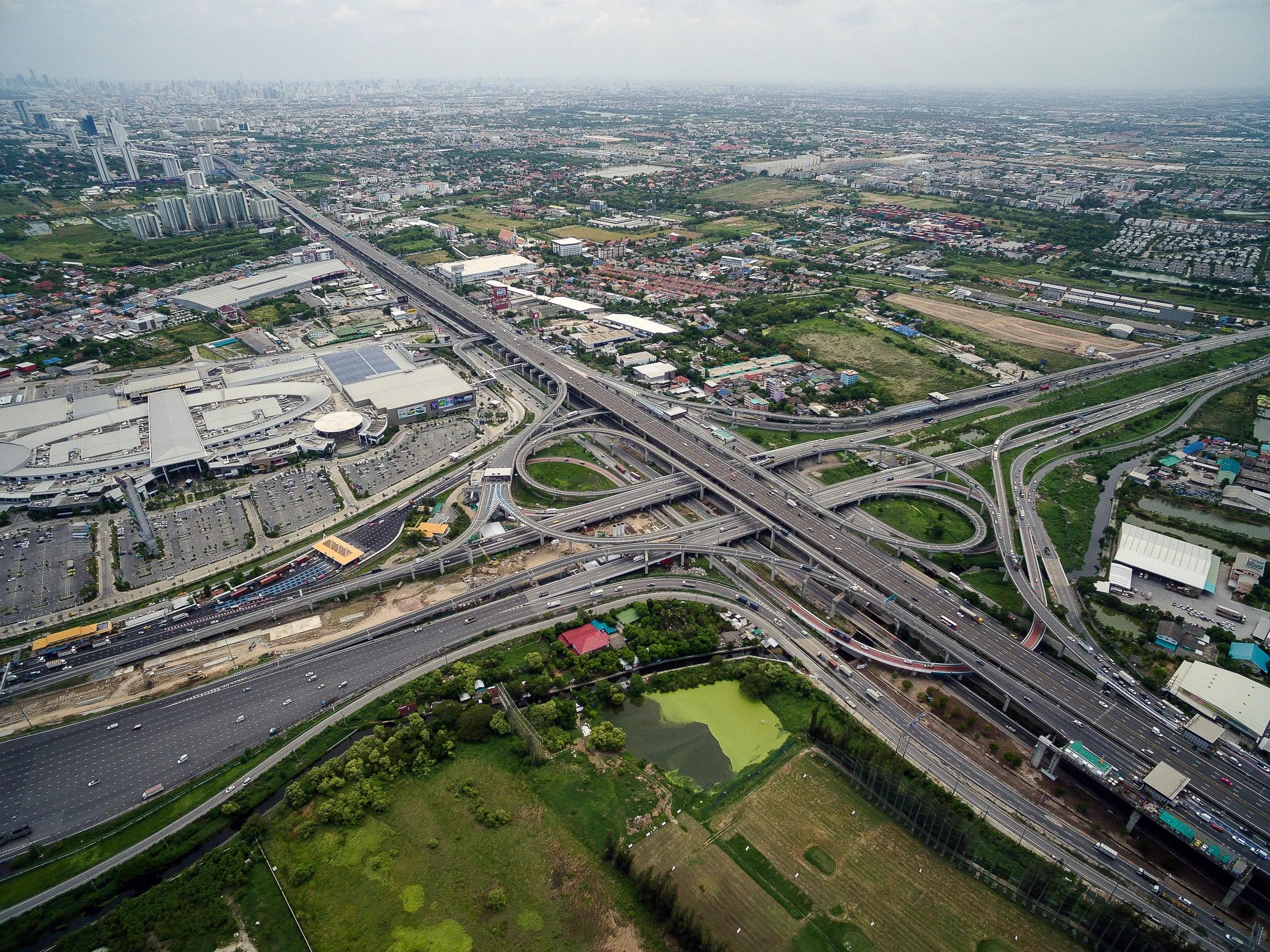
The rapid urbanization of cities worldwide, coupled with an increasing demand for smarter and more resilient infrastructure, is driving the adoption of cutting-edge geospatial technologies. As we move into 2024, the integration of geospatial data with emerging technologies like Artificial Intelligence (AI), the Internet of Things (IoT), and mobile mapping systems is transforming urban planning and development. These innovations are not just improving the efficiency and accuracy of infrastructure projects but are also enabling cities to be more sustainable, connected, and adaptive to changing environments.
This article will explore the top trends in geospatial technology that are set to shape urban infrastructure in 2024, with insights into how they are applied and their transformative potential.
1. Artificial Intelligence and Machine Learning in Geospatial Analysis
AI and Machine Learning (ML) have emerged as game-changers in geospatial technology, particularly in urban infrastructure. AI’s ability to process vast amounts of geospatial data in real time, identify patterns, and provide predictive analytics is helping city planners make informed decisions more quickly.
In 2024, AI-driven geospatial solutions are expected to further advance urban infrastructure planning and management in the following ways:
Predictive Maintenance : AI can analyze data from sensors embedded in roads, bridges, and other infrastructure to predict when maintenance is required. This reduces downtime and prolongs the life of urban assets.
Smart City Planning : Machine learning algorithms can analyze urban environments to optimize land use, traffic management, and energy consumption, contributing to the development of smart cities.
Automated Mapping : AI tools can automatically update geospatial maps based on satellite or drone imagery, providing real-time data for urban planners and construction teams.
For example, integrating AI with Building Information Modeling (BIM) and Digital Twins allows for the simulation of infrastructure performance under different conditions, enabling data-driven decision-making for long-term urban planning.
2. IoT and Smart Infrastructure Integration
The IoT is playing a pivotal role in the evolution of urban infrastructure by connecting a multitude of sensors, devices, and systems to a centralized platform. Geospatial technology is instrumental in harnessing the power of IoT by enabling spatial analysis of the data collected from these interconnected devices.
In 2024, the IoT will be crucial for:
Smart Traffic Management : Geospatial IoT solutions provide real-time insights into traffic flows, enabling dynamic traffic light management, predictive congestion analysis, and route optimization. Cities like Singapore and Los Angeles are already benefiting from geospatial IoT in smart traffic management systems.
Infrastructure Monitoring : Sensors embedded in critical infrastructure such as bridges, tunnels, and pipelines transmit real-time geospatial data on structural integrity, temperature, and pressure. This data can be mapped to monitor and prevent infrastructure failures.
Environmental Monitoring : IoT devices can monitor air quality, temperature, noise levels, and water quality across urban spaces. Geospatial data visualization helps city planners and environmental agencies identify areas in need of intervention and plan green infrastructure projects.
By integrating geospatial data with IoT devices, urban planners can create "living maps" that provide real-time updates on the condition of infrastructure and the overall urban environment.
3. Mobile Mapping and Digital Twins for Urban Development
Mobile mapping, an increasingly vital geospatial trend, involves collecting geospatial data from mobile platforms such as vehicles, drones, and handheld devices. This trend is transforming how cities gather high-resolution 3D data for infrastructure development, and it is expected to expand further in 2024.
The growing adoption of Digital Twin technology in urban infrastructure is closely tied to mobile mapping. A Digital Twin is a virtual model of a physical asset or system that updates in real time with geospatial data from sensors and mobile mapping systems. These virtual replicas are invaluable for simulating different scenarios, optimizing infrastructure design, and conducting predictive maintenance.
Key applications in 2024 include:
3D City Models : Mobile mapping systems enable the creation of detailed 3D models of cities that are used for urban planning, transportation analysis, and emergency response simulations.
Digital Twins for Urban Infrastructure : Real-time data from mobile mapping platforms feeds into Digital Twins, allowing city planners to monitor and manage the lifecycle of assets such as roads, bridges, and rail networks.
Public Safety : Mobile mapping, in combination with drones and AI, is being used to rapidly assess areas impacted by natural disasters or accidents, providing emergency responders with the data they need to make informed decisions.
With advances in LiDAR (Light Detection and Ranging) and photogrammetry, mobile mapping is providing more accurate and detailed geospatial data than ever before, significantly benefiting urban development projects.
4. Geospatial Data Visualization and Augmented Reality (AR)
As urban infrastructure projects grow in complexity, there is a growing need for intuitive ways to visualize geospatial data. Geospatial data visualization has evolved significantly, making it easier for stakeholders to understand complex datasets, collaborate on projects, and make decisions based on spatial insights.
In 2024, geospatial data visualization tools are expected to leverage:
Augmented Reality (AR) : AR overlays geospatial data onto the real-world environment, enabling engineers and planners to visualize infrastructure projects in context. For instance, AR can be used to view underground utilities before excavation work begins, reducing the risk of accidental damage.
3D Visualization Platforms : Enhanced 3D visualization platforms allow city planners to simulate urban environments with more accuracy. These platforms combine GIS, BIM, and Digital Twin technologies to provide a comprehensive view of infrastructure projects, from design through construction to operation.
Immersive Analytics : By integrating geospatial data with virtual and augmented reality, immersive analytics platforms provide decision-makers with more interactive and engaging ways to explore urban development scenarios.
These advancements in data visualization are not only improving collaboration between stakeholders but are also making it easier to communicate the potential impacts of infrastructure projects to the public.
5. Satellite Data for Urban Infrastructure
As satellite technology becomes more advanced and accessible, satellite-derived geospatial data is playing an increasingly important role in urban infrastructure planning. High-resolution satellite imagery and remote sensing technologies are providing city planners with the tools they need to monitor urban growth, analyze environmental impacts, and manage resources more effectively.
In 2024, satellite data will be used for:
Urban Growth Monitoring : Satellite imagery enables the continuous monitoring of urban expansion, providing insights into land-use changes, population density, and infrastructure needs.
Disaster Response : Satellites offer a bird’s-eye view of natural disasters, enabling rapid damage assessment and resource allocation during recovery efforts. This is particularly useful in monitoring floods, wildfires, and earthquakes in densely populated urban areas.
Climate Resilience Planning : As cities face increasing risks from climate change, satellite data helps identify areas vulnerable to sea-level rise, extreme weather events, and heat islands, enabling planners to design resilient infrastructure.
Geospatial technology powered by satellite data is making it possible to manage cities more proactively, with a focus on sustainability and resilience.
In conclusion, the integration of AI, IoT, mobile mapping, and satellite data with geospatial technology is revolutionizing how urban infrastructure is planned, built, and maintained. In 2024, these trends will continue to shape the future of cities, enabling more efficient, resilient, and sustainable urban environments. As technology evolves, forward-thinking professionals in urban planning and development will need to stay abreast of these trends to leverage the full potential of geospatial insights for their projects. By adopting these cutting-edge technologies, cities can meet the growing demands of urbanization while addressing the challenges of climate change, population growth, and aging infrastructure.
With geospatial technology at the forefront of this transformation, the future of urban infrastructure looks more connected, data-driven, and adaptable than ever before.