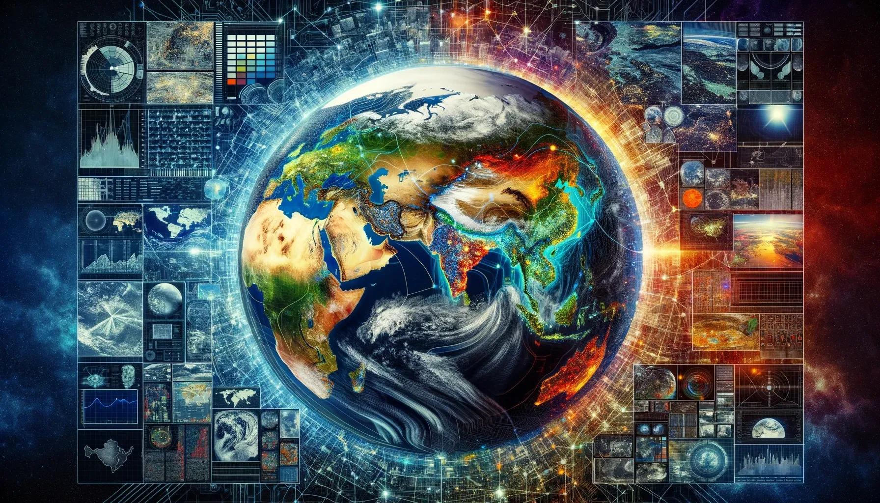
In the realm of spatial technology, the concept of 'pixels' plays a fundamental role in shaping our understanding of the world. Pixels, the smallest units of a digital image, serve as the building blocks in the vast mosaic of geospatial data. This article delves into the intricacies of spatial technology, focusing on how these minute data points coalesce to form a comprehensive picture of our world.
Understanding Pixels in Spatial Technology
A pixel, or picture element, is the smallest controllable element of a digital image or display. In the context of spatial technology, each pixel represents a specific area on the Earth's surface, encoding crucial information about that location. The value of a pixel in a spatial dataset might indicate various attributes, such as elevation, temperature, land cover type, or even socio-economic data.
Resolution and Its Impact
The resolution of a spatial dataset, often measured in pixels, is a critical factor determining the detail and quality of the information. High-resolution images, with more pixels per given area, provide finer details, enabling more accurate analyses and interpretations. Conversely, low-resolution images offer a broader, albeit less detailed, perspective.
The Role of Remote Sensing
Remote sensing technology, a cornerstone of modern spatial analysis, heavily relies on pixels. Satellites and aerial sensors capture images of the Earth's surface, dividing it into a grid of pixels. Each pixel in these images represents specific spectral information, reflecting how different surfaces absorb and reflect sunlight.
Multispectral and Hyperspectral Imaging
Advancements in remote sensing have led to the development of multispectral and hyperspectral imaging. These technologies capture data across multiple wavelengths, from visible light to infrared and beyond. In multispectral imaging, each pixel contains data for several spectral bands, providing insights into various physical and chemical properties of the Earth's surface. Hyperspectral imaging further extends this concept, capturing hundreds of bands for each pixel, allowing for detailed analysis of materials and phenomena.
Applications of Spatial Pixel Data
Environmental Monitoring : Pixels in spatial datasets are instrumental in monitoring environmental changes. They help in tracking deforestation, assessing water quality, and monitoring natural disasters like floods and wildfires.
Urban Planning : High-resolution spatial data aids in urban planning and management. Planners use this data to design infrastructure, manage urban sprawl, and monitor changes in land use.
Agriculture : In precision agriculture, pixel-based analyses help in assessing crop health, soil conditions, and moisture levels, enabling farmers to make informed decisions.
Climate Change Studies : Pixels in historical and current datasets allow scientists to observe and model climate change impacts, tracking shifts in temperature patterns, ice cover, and sea levels.
Defense and Surveillance : Spatial data is critical in defense for reconnaissance, surveillance, and terrain analysis.
Challenges and Future Directions
Despite its immense potential, spatial technology faces several challenges. Data accuracy, resolution limits, and the interpretation complexities of multispectral and hyperspectral data pose significant hurdles. Furthermore, the vast amount of data generated requires advanced storage and processing capabilities.
The future of spatial technology lies in overcoming these challenges through innovations in data processing, machine learning algorithms, and enhanced sensor technologies. The integration of spatial data with emerging technologies like AI and IoT holds the promise of more accurate, real-time, and comprehensive analyses of our world.
In conclusion, the world of pixels in spatial technology is a testament to how minute data points, when aggregated and analyzed, can offer profound insights into our planet's workings. From environmental monitoring to urban planning, these pixels are more than just dots on a screen; they are the lenses through which we can observe, understand, and interact with our ever-changing world. As technology advances, the potential applications of spatial data will expand, further cementing its role in shaping a better, more informed future for our planet.