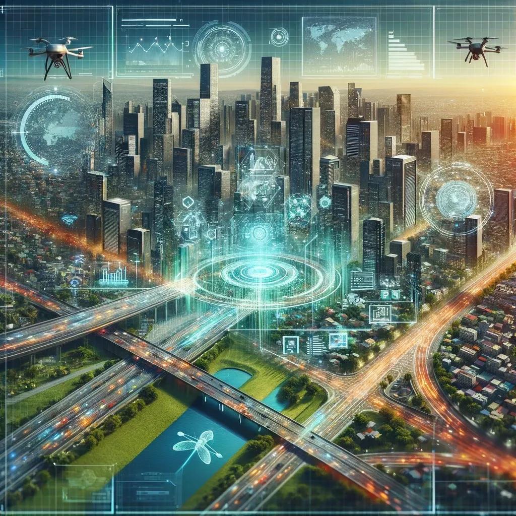
In the contemporary landscape of technological innovation, Geographic Information Systems (GIS) and Digital Twins are pivotal elements that drive the evolution of smart infrastructure and intelligent decision-making processes. This article delves into the intricate role of GIS in fostering the development of accurate Digital Twins, a synergy that is reshaping the contours of spatial analysis, urban planning, and asset management across various industries.
Introduction to GIS and Digital Twins
Geographic Information Systems (GIS) are sophisticated frameworks for collecting, managing, analyzing, and visualizing geographical data. They enable the interpretation of spatial and geographic data to understand relationships, patterns, and trends. Digital Twins, on the other hand, represent a digital replica of physical entities, including buildings, infrastructure, and even entire cities, allowing for real-time monitoring, simulation, and analysis. The fusion of GIS and Digital Twins heralds a transformative approach to urban planning, environmental management, and the optimization of operational efficiencies.
The Convergence of GIS and Digital Twins
The amalgamation of GIS with Digital Twins is not merely a technological advancement but a paradigm shift in how we interact with and understand our physical environment. GIS provides the spatial context and geospatial intelligence essential for constructing Digital Twins that are not only accurate but also dynamically aligned with the real world. This section explores the multifaceted role of GIS in creating detailed and accurate Digital Twins.
Spatial Accuracy and Detail
The foundation of a useful Digital Twin lies in its accuracy and detail, which are significantly enhanced by GIS. Through high-resolution mapping and terrain analysis, GIS facilitates the creation of Digital Twins with precise geospatial coordinates. This spatial accuracy ensures that the digital replica accurately mirrors the physical world, enabling realistic simulations and analyses.
Dynamic Updates and Real-time Data Integration
One of the critical advantages of GIS is its ability to handle real-time data from various sources, including satellites, drones, and IoT devices. Integrating this real-time data into Digital Twins ensures that they remain up-to-date, reflecting changes in the physical environment as they happen. This dynamic updating capability is crucial for applications requiring immediate data analysis, such as emergency response, urban planning, and environmental monitoring.
Enhanced Analytical Capabilities
GIS elevates the analytical capabilities of Digital Twins by providing tools for spatial analysis and modeling. These tools allow for the examination of complex relationships between different data layers within the Digital Twin, facilitating advanced simulations and what-if scenarios. For instance, GIS can help simulate the impact of natural disasters on urban infrastructure, enabling planners to develop more resilient designs.
Interoperability and Data Fusion
The integration of GIS with Digital Twins promotes interoperability and the fusion of disparate data sources. GIS's ability to handle diverse data formats and standards enables the seamless integration of data from various domains, such as environmental data, urban infrastructure data, and social demographic data. This comprehensive data fusion enhances the depth and utility of Digital Twins, making them more reflective of the multifaceted nature of the physical world.
Asset Management and Monitoring
GIS contributes significantly to asset management and monitoring within Digital Twins. By providing geospatial context, GIS enables the precise location and tracking of assets in the digital model. This capability is essential for managing infrastructure assets, where spatial location influences maintenance schedules, operational efficiency, and risk assessment.
Case Studies and Applications
The application of GIS in creating accurate Digital Twins spans various sectors, from urban planning and smart cities to environmental management and disaster response. For instance, in smart city initiatives, GIS-integrated Digital Twins serve as dynamic platforms for urban planning, traffic management, and public service delivery. In environmental management, they help in monitoring ecological changes, assessing the impact of climate change, and planning conservation efforts.
Challenges and Future Directions
Despite the promising integration of GIS and Digital Twins, several challenges remain. These include data privacy concerns, the need for standardization across data formats, and the complexity of managing and analyzing large volumes of real-time data. Addressing these challenges requires continuous innovation in GIS technologies, data management practices, and collaborative efforts among stakeholders.
The future of GIS and Digital Twins is poised for further convergence, with advancements in AI, machine learning, and IoT technologies enhancing their capabilities. This evolution will lead to even more accurate, dynamic, and useful Digital Twins, opening new avenues for analysis, simulation, and decision-making.
In conclusion, the role of GIS in creating accurate Digital Twins is both foundational and transformative. By providing spatial accuracy, real-time data integration, enhanced analytical capabilities, and interoperability, GIS elevates the utility and applicability of Digital Twins across industries. As we advance, the integration of GIS and Digital Twins will continue to play a pivotal role in shaping a smarter, more resilient, and more sustainable future. Embracing this integration offers unparalleled opportunities for innovation in how we understand, plan, and interact with our physical world.