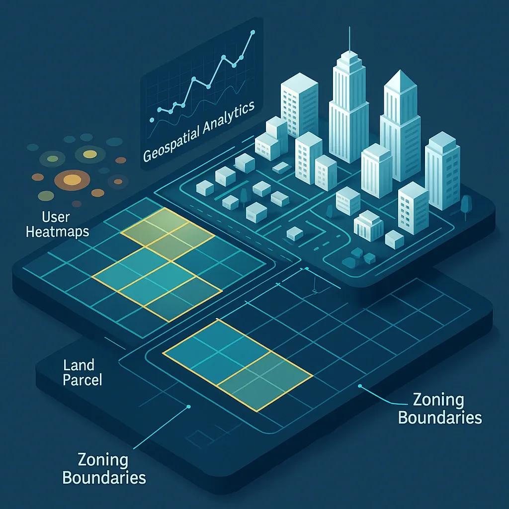
The metaverse, an interconnected, immersive, and persistent digital environment, is evolving beyond entertainment and virtual gatherings into a complex economic ecosystem. Within this economy, virtual land ownership, spatial planning, and digital infrastructure are becoming increasingly valuable. At the heart of these developments lies geospatial technology, providing the foundation for mapping, managing, and monetizing virtual spaces. Just as geospatial systems guide real-world land use, zoning, and infrastructure development, they are becoming indispensable for structuring digital economies within the metaverse.
This article explores how geospatial technologies are enabling the design and governance of virtual environments, and how spatial data, 3D mapping, and zoning logic shape the metaverse economy.
1. Geospatial Foundations of the Metaverse
Geospatial technology refers to a suite of tools that collect, manage, analyze, and visualize spatial and geographic data. Core components include:
GIS (Geographic Information Systems)
Remote sensing
3D mapping
Spatial data infrastructures
Location-based services (LBS)
In the context of the metaverse, these tools are repurposed to:
Define spatial boundaries of virtual land parcels
Build layered 3D models of virtual environments
Enable location-based experiences in virtual and augmented realities
Support simulation and analytics of user behavior in digital spaces
Just as urban planners use GIS to organize physical cities, metaverse developers use similar systems to define digital land ownership, simulate land use patterns, and manage virtual zoning policies.
2. Digital Land Use and Ownership
Digital real estate is one of the fastest-growing sectors within the metaverse. Platforms like Decentraland , The Sandbox , and Otherside (by Yuga Labs ) have introduced tokenized land parcels that users can buy, sell, and develop using blockchain technology.
To manage these virtual territories, geospatial logic is applied:
Parcelization : Dividing the metaverse into discrete, georeferenced land units, often represented using a coordinate grid or spatial index.
Land Registry Systems : Using spatial databases to store ownership data, transaction history, and land attributes.
Land Valuation Models : Applying location-based metrics, such as proximity to high-traffic areas or landmarks, to assess digital land value.
Much like in the physical world, location determines value. Geospatial analysis helps users make informed investment decisions by providing contextual information about terrain, neighboring plots, and access to virtual infrastructure.
3. Virtual Zoning: Rules and Restrictions
Zoning in the physical world regulates how land can be used, residential, commercial, industrial, etc., to ensure organized development. In the metaverse, virtual zoning emerges to:
Prevent incompatible land uses (e.g., avoiding noisy games next to meditative experiences)
Maintain aesthetic or thematic coherence
Control resource-intensive activities (e.g., limiting computation-heavy interactions in shared zones)
These zoning rules are implemented through smart contracts and platform governance mechanisms but rely heavily on spatial modeling and visualization to communicate and enforce them. For example:
3D zoning maps define height limits for virtual buildings
Buffer zones can be used to separate sensitive areas like digital museums from entertainment districts
Land use layers help developers see permissible use per parcel
Such rules are underpinned by geospatial data structures, allowing dynamic updates and simulations as user behavior evolves.
4. 3D Mapping and the Digital Built Environment
The transition from 2D to 3D mapping is central to the metaverse. While 2D maps are useful for navigation, 3D models provide immersive experiences and richer data for development, design, and analytics.
Geospatial 3D technologies support:
Realistic virtual environments : Terrain models, vegetation, lighting, and textures help recreate lifelike or stylized settings.
Infrastructure simulation : Roads, buildings, utility lines, and public spaces can be modeled for planning and optimization.
Building Information Modeling (BIM) : BIM data can be adapted for metaverse construction, integrating architectural elements with geolocation.
These 3D spatial datasets are often created using LiDAR scans, photogrammetry, or procedural generation, and are managed using 3D GIS platforms or game engines like Unreal Engine and Unity, which support geospatial plugins.
5. Spatial Analytics and Economic Activity
Spatial analytics provides the insight layer of geospatial technology. In the metaverse, it helps stakeholders:
Track user flows : Understand which zones or experiences attract the most traffic.
Optimize land use : Identify underutilized plots or overcrowded regions.
Simulate behaviors : Run what-if scenarios (e.g., traffic redirection or asset relocation).
Monetize engagement : Rent high-traffic zones or place location-targeted ads.
These insights are derived from location intelligence platforms, which process data such as avatars’ movement patterns, engagement duration, and heatmaps of interaction.
6. Interoperability Across Virtual Worlds
A major challenge in the metaverse economy is interoperability, how land, assets, and experiences can move across different platforms. Geospatial standards are playing a role here:
OGC (Open Geospatial Consortium) standards such as CityGML and 3D Tiles allow consistent 3D spatial data formats.
WKT/WKB geometries enable spatial indexing and cross-platform querying.
Spatial APIs and SDKs help developers fetch or push spatial content across engines and ecosystems.
For example, a virtual asset designed using one engine can retain its spatial orientation and metadata when imported into another platform, enabling cohesive experience for users and creators.
7. The Future: Earth-Metaverse Integration
An emerging trend is the integration of real-world geospatial data into the metaverse, blurring boundaries between physical and digital. Use cases include:
Digital twins of cities : Replicating urban environments for simulation, planning, or entertainment.
AR-enhanced navigation : Using spatial anchors to overlay digital content in real-world spaces.
Geospatial NFTs : Linking virtual ownership to real-world coordinates or landmarks.
This integration relies on high-accuracy geospatial datasets, including HD maps, real-time sensor data, and satellite imagery, often combined with Edge AI for real-time decision-making in location-aware apps.
Conclusion
Geospatial technology is the invisible infrastructure powering the visible metaverse. From land parceling and zoning to 3D modeling and user analytics, spatial tools are critical for organizing, governing, and scaling virtual economies. As the metaverse evolves into a mixed-reality continuum, the lines between physical and digital geographies will continue to blur, making geospatial expertise not just relevant, but essential.
For developers, planners, and investors entering this space, a strong foundation in geospatial principles will be key to building resilient, functional, and monetizable digital environments.