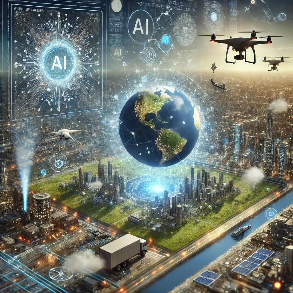
Geospatial technologies, which encompass geographic information systems (GIS), remote sensing, global positioning systems (GPS), and spatial data analytics, have transformed our understanding of the world by providing valuable insights into geographical patterns and relationships. As industries increasingly rely on geospatial data to drive decisions in fields such as urban planning, environmental management, and logistics, the need for more advanced data processing capabilities has grown. Artificial intelligence (AI), with its ability to process and analyze massive datasets at unprecedented speeds, is playing a pivotal role in the evolution of geospatial technologies.
1. AI-Driven Data Processing and Analysis
One of the most significant impacts of AI on geospatial technologies is its ability to handle large volumes of spatial data, which has become crucial in today’s data-driven world. Traditional geospatial data processing techniques often struggle with the volume, variety, and velocity of data generated by modern sensors, satellites, drones, and IoT devices. AI algorithms, particularly those based on machine learning (ML) and deep learning (DL), have revolutionized this aspect.
AI-driven data processing allows geospatial systems to analyze complex datasets more efficiently and accurately. For instance, deep learning models can analyze high-resolution satellite imagery and identify specific features such as roads, buildings, or vegetation without human intervention. These models are trained on large datasets, enabling them to detect patterns and classify objects with remarkable precision. Moreover, AI techniques, such as natural language processing (NLP), can extract valuable insights from unstructured geospatial data, including social media posts, enabling a more holistic understanding of geographic trends.
2. Enhanced Spatial Data Collection through AI
AI-powered systems are improving the collection of spatial data by enabling more sophisticated sensing and monitoring technologies. Autonomous vehicles, for instance, rely on geospatial data to navigate their environments. AI algorithms process real-time data from multiple sensors, such as LiDAR and cameras, to create detailed maps of the surroundings and adjust the vehicle's path accordingly. This autonomous data collection capability is crucial for applications like smart cities, where continuous monitoring of infrastructure and environmental conditions is essential.
Similarly, AI enhances data collection in remote sensing. Machine learning algorithms are used to refine satellite imagery by removing noise, increasing resolution, and correcting distortions caused by atmospheric interference. This leads to clearer, more accurate data, which in turn improves the reliability of geospatial analyses. AI also helps automate the classification of land cover types, detect changes over time, and monitor environmental factors such as deforestation or urban sprawl.
3. AI in Spatial Data Interpretation and Predictive Modeling
Interpretation of spatial data has always been a challenge due to the inherent complexity of spatial relationships and the vast amount of data involved. AI offers a solution by applying predictive modeling techniques that allow for a deeper understanding of spatial phenomena. Predictive analytics, powered by machine learning, can forecast future trends based on historical geospatial data, which is invaluable for industries like agriculture, disaster management, and urban planning.
In agriculture, for example, AI can predict crop yields by analyzing spatial data on soil health, weather patterns, and historical agricultural trends. These predictive models enable farmers to make informed decisions about planting, irrigation, and harvesting. In disaster management, AI-driven predictive models can analyze historical data on natural disasters like floods, earthquakes, or wildfires to predict where and when future events might occur. This allows governments and organizations to take preventive measures, such as designing more resilient infrastructure or planning evacuation routes.
AI also plays a crucial role in spatial risk assessment. For instance, insurance companies use AI to assess the risk of natural disasters by analyzing geospatial data combined with historical claims data. This allows them to develop more accurate risk profiles, improving the pricing of insurance policies.
4. AI in Real-Time Geospatial Insights
The growing demand for real-time geospatial insights, particularly in industries such as logistics, transportation, and emergency response, has led to the integration of AI in geospatial platforms. AI algorithms can analyze data in real time, providing immediate insights that support critical decision-making processes. In transportation, for instance, AI can optimize routes for delivery trucks based on current traffic conditions, weather forecasts, and fuel consumption patterns, leading to more efficient logistics operations.
In emergency response, AI-powered geospatial systems can analyze live feeds from satellites, drones, and sensors to provide up-to-the-minute information on disaster zones. This allows emergency responders to allocate resources more effectively, identify areas in need of immediate assistance, and even predict how a disaster might unfold base on real-time data patterns. AI's real-time processing capabilities also enable dynamic mapping, which can be crucial for tracking the movement of hazardous materials or monitoring the spread of diseases in outbreak situations.
5. Integration of AI with Geospatial Big Data and IoT
The intersection of AI, big data, and the Internet of Things (IoT) is creating new opportunities for geospatial technologies. The proliferation of IoT devices, such as smart sensors embedded in infrastructure, vehicles, and agricultural equipment, is generating vast amounts of geospatial data. AI is essential for managing and analyzing this data, transforming it into actionable insights.
For example, smart cities are leveraging AI to manage IoT-enabled infrastructure systems, such as water distribution networks and traffic management systems. By analyzing geospatial data in real time, AI can optimize these systems, reducing resource consumption and improving the quality of life for urban residents. In agriculture, AI analyzes data from IoT sensors in fields to monitor soil moisture levels, predict irrigation needs, and even identify potential pest infestations.
Big data analytics powered by AI is also revolutionizing environmental monitoring. AI can process large datasets from multiple sources, such as satellite imagery, weather stations, and IoT devices, to track environmental changes over time. This helps governments and organizations make data-driven decisions about resource management, conservation efforts, and climate change mitigation.
6. AI-Driven Geospatial Visualization
Another area where AI is making a significant impact is geospatial visualization. Visualizing geospatial data effectively is crucial for communicating insights to decision-makers and stakeholders. AI-powered visualization tools can automatically generate maps, charts, and other visual representations of geospatial data, highlighting key trends and patterns.
These AI-driven visualizations are not static; they are interactive and dynamic, allowing users to explore data from different angles and zoom in on areas of interest. For example, AI can create 3D models of urban environments based on geospatial data, enabling city planners to simulate how new developments will affect traffic flow, air quality, or energy consumption. Similarly, AI-powered dashboards can provide real-time visualizations of critical infrastructure, such as power grids or transportation networks, helping operators quickly identify and address potential issues.
7. Challenges and the Future of AI in Geospatial Technologies
Despite the transformative potential of AI in geospatial technologies, there are still challenges to address. One major challenge is data privacy, particularly when dealing with sensitive geospatial information related to individuals or organizations. The use of AI in analyzing geospatial data raises concerns about how data is collected, stored, and shared. Ensuring compliance with regulations like the Digital Personal Data Protection Bill (2023) is crucial in mitigating these risks.
Another challenge is the interpretability of AI models. While AI algorithms can process vast amounts of geospatial data, the complexity of these models can make it difficult to understand how they arrive at specific conclusions. This lack of transparency can be a barrier to the widespread adoption of AI in industries that require clear, justifiable decision-making processes.
Looking ahead, the integration of AI and geospatial technologies is likely to accelerate, driven by advancements in AI algorithms, increased availability of geospatial big data, and the growing adoption of IoT devices. As AI continues to evolve, its role in geospatial technologies will expand, enabling more precise, efficient, and actionable insights across a wide range of applications.
In conclusion, AI plays a transformative role in the evolution of geospatial technologies, from improving data collection and analysis to enabling real-time insights and predictive modeling. As industries continue to adopt AI-driven geospatial solutions, the potential for more efficient decision-making and improved outcomes across sectors will only grow. However, addressing challenges like data privacy and model interpretability will be crucial to fully realizing the benefits of AI in this field.