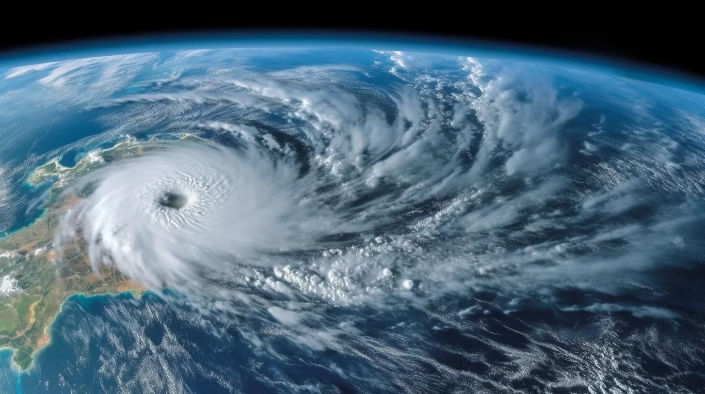
In the vast expanse of the world's oceans, the Pacific and Atlantic have always been subjects of meteorological scrutiny. Historically, the Pacific hurricane season has dominated media coverage, overshadowing its Atlantic counterpart. However, recent data and events, enhanced by the precision of geospatial technology, have shifted this narrative, prompting a deeper dive into the causes and effects of the changing cyclonic patterns in both oceans. The cause-and-effect relationship between climate change and the increasing frequency of cyclones, especially in the Pacific, cannot be ignored. This article critically examines the insights and questions raised by recent data, aiming to shed light on the alarming trends and their potential global implications.
Cause: Climate Change and Its Role in Intensifying Cyclonic Activity
The world is no stranger to the devastating impacts of climate change. Rising global temperatures, melting polar ice caps, and erratic weather patterns are just the tip of the iceberg. One of the most concerning manifestations of climate change is the increasing frequency and intensity of cyclones, particularly in the Pacific Ocean.
Geospatial technology, with its ability to capture, store, and analyze geographical data, has been instrumental in tracking these changes. Through satellite imagery and GIS (Geographic Information Systems), scientists can now monitor sea surface temperatures, ocean currents, and wind patterns with unprecedented accuracy. This data has revealed that in the 1990s, the Pacific saw an average of 5.3 tropical storms and 9.5 hurricanes annually. By the 2010s, these numbers surged to 7.2 storms and 10.7 hurricanes.
Effect: The Pacific's Growing Fury
With the Pacific hurricane season intensifying, the effects are palpable. The recent landfall of Hurricane Hilary in Baja California, after a hiatus of 26 years, is a testament to this. Geospatial tools provided real-time tracking of Hilary's path, intensity, and potential impact areas, enabling timely warnings and preparations.
This event not only diverted attention from the Atlantic's relatively subdued hurricane season but also raised eyebrows about the Pacific's growing fury. The question that looms large is: How are nations, especially those bordering the Pacific and equipped with geospatial technology, preparing for this uptick in cyclonic activity?
Cause: The Ocean's Dichotomy - Pacific vs. Atlantic
While the Pacific's cyclonic activity is on the rise, the Atlantic seems to be experiencing a lull. Geospatial data has been pivotal in highlighting this disparity. Factors such as ocean temperatures, wind patterns, and underwater currents play a pivotal role in cyclone formation. The cooler Pacific waters and its wind patterns generally make hurricanes less probable. Yet, the increasing number of cyclones in the Pacific, juxtaposed with the Atlantic's subdued activity, begs the question: What underlying factors, visible through geospatial lenses, are contributing to this oceanic dichotomy?
Effect: Global Weather Patterns in Jeopardy
The increasing cyclonic activity in the Pacific and the contrasting calm in the Atlantic are not isolated phenomena. They are interconnected pieces of a larger puzzle that impacts global weather patterns. Geospatial technology, with its ability to map and analyze global climatic trends, indicates potential outcomes such as altered ocean currents, shifting jet streams, and unpredictable monsoons. These changes could affect agriculture, economies, and ecosystems worldwide.
In Conclusion: A Critical Call to Action
The cause-and-effect relationship between the changing cyclonic patterns in the Pacific and Atlantic and their global implications is evident. As the world grapples with the challenges posed by climate change, it is imperative to critically analyze these trends, understand their root causes, and prepare for their far-reaching effects. Geospatial technology stands as a beacon in this endeavor, offering insights, predictions, and solutions. The increasing fury of the Pacific cyclones is not just a meteorological concern; it's a clarion call for nations, communities, and individuals to harness the power of geospatial tools, raise awareness, and fortify defenses against the impending storms. The time for action, guided by precise geospatial data, is now.
Reference:
https://www.statista.com/chart/30632/pacific-cyclones/