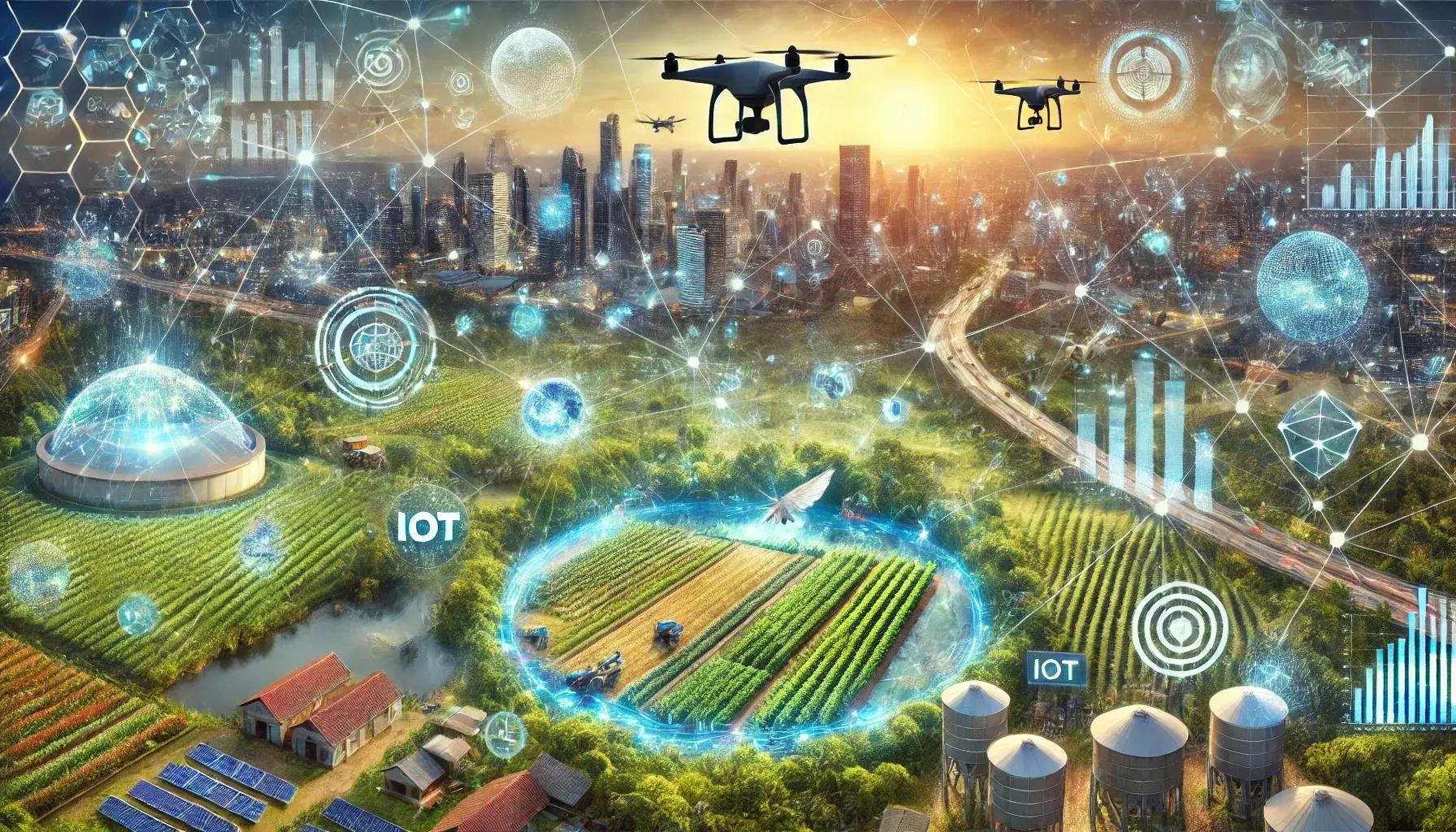
Geospatial technology has transitioned from being a specialized tool for cartographers and geographers to a cornerstone of modern decision-making. As advancements in scalability and accessibility continue to unfold, its impact extends beyond technical domains, shaping society in profound ways. This article delves into how scalable geospatial technology influences urban development, disaster management, agriculture, environmental conservation, and more, creating a ripple effect that transforms societal norms and practices.
Understanding Scalable Geospatial Technology
At its core, geospatial technology encompasses tools and techniques that capture, analyze, and visualize spatial data. With the rise of cloud computing, Artificial Intelligence (AI), and the Internet of Things (IoT), geospatial technology has become increasingly scalable, enabling users to process massive datasets and derive actionable insights with ease. Scalability refers to the capacity of these systems to handle growing amounts of work, adapt to larger datasets, and support an expanding user base without compromising performance.
This scalability has democratized access to geospatial tools, making them integral to industries like real estate, transportation, healthcare, and energy. The ripple effects on society are multifaceted, stemming from this enhanced accessibility and integration.
Urban Development: Building Smarter Cities
One of the most visible impacts of scalable geospatial technology is in urban development. Smart city initiatives rely heavily on geospatial solutions to optimize infrastructure, manage resources, and enhance citizens' quality of life. Geographic Information Systems (GIS) provide detailed spatial analyses, enabling city planners to design sustainable urban spaces.
Examples of Impact
Traffic Management : Real-time geospatial data helps optimize traffic flow, reducing congestion and pollution. Cities in various countries have implemented smart traffic systems powered by geospatial analytics.
Utility Monitoring : Geospatial tools enable efficient monitoring of water, electricity, and waste management systems, ensuring that resources are allocated equitably.
Ripple Effect
The scalability of these technologies means even smaller municipalities can afford to adopt them, creating a broader societal impact. Improved urban planning leads to reduced carbon footprints, better health outcomes, and enhanced economic opportunities.
Disaster Management: Enhancing Resilience
The ability to scale geospatial technologies plays a critical role in disaster management. Predicting and mitigating natural disasters such as floods, earthquakes, and wildfires requires processing vast amounts of real-time data.
Applications in Disaster Management
Early Warning Systems : Scalable geospatial systems integrate data from satellites, sensors, and historical records to issue timely alerts. For instance, early flood warning systems powered by geospatial data have saved lives in flood-prone regions or countries.
Post-Disaster Recovery : High-resolution satellite imagery assists in damage assessment, allowing for swift and efficient resource allocation during recovery efforts.
Ripple Effect
When geospatial solutions scale to include local communities and non-governmental organizations, they foster a culture of preparedness and resilience. This reduces economic losses and saves lives, while empowering communities with the tools needed for self-sufficiency.
Agriculture: Driving Precision and Sustainability
In agriculture, scalable geospatial technology underpins precision farming, a practice that uses spatial data to optimize agricultural inputs such as water, fertilizers, and pesticides. This has profound implications for food security, especially in the face of climate change and a growing global population.
Technological Integration
Drone Mapping : Scalable UAV systems equipped with GIS capabilities can monitor crop health over vast areas, identifying issues such as pest infestations early.
IoT Sensors : Paired with GIS platforms, IoT devices track soil moisture levels, enabling farmers to apply irrigation only where needed.
Ripple Effect
The societal impact extends to reduced environmental degradation, enhanced crop yields, and increased profitability for farmers. Scalable platforms also allow governments to implement agricultural policies at regional or national scales, ensuring food security for millions.
Environmental Conservation: Protecting Natural Resources
Scalable geospatial technology is a vital tool for monitoring and conserving natural resources. Its ability to process large datasets from satellites and sensors enables the identification of environmental changes, from deforestation to urban sprawl.
Applications in Conservation
Wildlife Tracking : GPS-enabled collars and GIS platforms help monitor animal migration patterns, ensuring habitat conservation.
Climate Change Monitoring : Scalable systems process data from multiple sources to track greenhouse gas emissions and predict climate trends.
Ripple Effect
By providing actionable insights to policymakers, environmental organizations, and citizens, geospatial technology promotes sustainable practices. This fosters a collective effort toward mitigating climate change and preserving biodiversity.
Healthcare: Bridging the Accessibility Gap
Healthcare is another domain where scalable geospatial technology is making a significant difference. Spatial analysis enables healthcare providers to optimize resource distribution, improving access to medical services in underserved areas.
Examples of Use
Site Selection : Geospatial platforms analyze demographic and infrastructure data to determine optimal locations for new hospitals and clinics.
Epidemiology : Scalable GIS systems track disease outbreaks, such as during the COVID-19 pandemic, to inform containment strategies.
Ripple Effect
Improved healthcare accessibility leads to healthier populations, reduced economic inequality, and increased societal productivity. Scalable systems ensure that these benefits can be extended to rural and remote areas, where healthcare infrastructure is often lacking.
Education and Workforce Development: Empowering Future Generations
The scalability of geospatial technology has opened doors for educational institutions and workforce development programs. From training students in GIS applications to integrating geospatial data into research projects, the potential for knowledge transfer is immense.
Examples of Geospatial Education
Online Platforms : Scalable geospatial platforms offer virtual learning environments, making GIS training accessible to students worldwide.
Research Support : Universities can harness large datasets for studies on urbanization, climate change, and more.
Ripple Effect
Equipping future generations with geospatial skills ensures a workforce ready to tackle complex societal challenges. This fosters innovation and drives economic growth across multiple sectors.
Challenges to Consider
While scalable geospatial technology holds immense promise, certain challenges must be addressed to maximize its societal impact:
Data Privacy : As geospatial platforms handle vast amounts of sensitive data, ensuring privacy and compliance with regulations like the Digital Personal Data Protection Bill is paramount.
Digital Divide : The benefits of geospatial technology must be extended to marginalized communities to avoid exacerbating existing inequalities.
Cost Barriers : Although scalability reduces costs, initial investments in geospatial infrastructure can still be prohibitive for some organizations.
Conclusion: A Transformative Ripple Effect
Scalable geospatial technology has initiated a ripple effect that touches nearly every aspect of society. From smarter cities and resilient disaster management systems to sustainable agriculture and improved healthcare, the societal benefits are profound and far-reaching. However, to fully harness this potential, stakeholders must address challenges like data privacy, digital inclusion, and affordability.
As geospatial technology continues to evolve, its scalability will be pivotal in solving complex global challenges. By fostering collaboration between governments, private enterprises, and academic institutions, we can ensure that the ripple effect of this transformative technology contributes to a more equitable and sustainable world.