In the rapidly evolving world of construction and infrastructure, one can hardly overstate the vital role that surveying and geodesy play in the entire Building Information Modelling (BIM) process. These practices lay the foundation for a vast array of undertakings, ensuring the generation of accurate and comprehensive data that guide the various phases of construction projects. However, despite its vital role, the integration of surveying and geodesy into BIM processes often receives inadequate attention. This article aims to critically examine this dynamic, underscoring the need for more focus and appreciation of these foundational processes in the BIM journey.
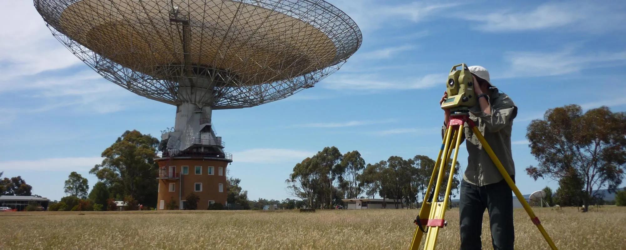
At the outset of any construction project, before the first stone is laid or the first plan drawn, the process of surveying the construction area is paramount. This activity involves meticulously mapping out the site to gather crucial information about the terrain, existing buildings, and other pertinent infrastructure. Surveying provides the very data from which architects, engineers, and construction teams derive the specifics of their designs and plans.
Geodesy, another foundational discipline, feeds into the BIM process as well. By providing precise measurements and representations of the Earth's physical properties, geodesy ensures that every model in the BIM system is not only accurate but also contextually relevant. It takes into account local gravitational forces, regional geologic characteristics, and even global positioning data to ensure that each model truly corresponds to the real-world conditions.
The integration of this data into BIM systems is the next step in the process. This involves consolidating the gathered data into precise three-dimensional (3D) models that represent the entirety of the construction project. BIM systems are uniquely equipped to handle such complex data, creating multi-dimensional models that accurately represent both the physical and functional characteristics of a building. These models form the basis for decision-making throughout the project's lifespan, from planning and design through construction to maintenance and operation.
The BIM process, powered by these foundational disciplines, offers remarkable benefits. It provides a comprehensive platform for communication and collaboration, enabling stakeholders to visualize the project before construction commences. The accurate, data-driven models can predict potential issues, enabling teams to make strategic decisions that save both time and money. Additionally, the BIM process supports the seamless integration of new data as the project progresses, ensuring the models remain up-to-date and relevant.
However, there is a critical point of concern that must be addressed. Despite the clear importance of surveying and geodesy in the BIM process, their role is often overlooked. The focus is more on the application of the BIM systems rather than the source of the data that powers these systems. Consequently, the full potential of these practices remains untapped, leading to limitations in the richness and utility of the BIM process.
A more appreciative approach towards surveying and geodesy would elevate the accuracy and effectiveness of the BIM process. This would involve investing in advanced surveying and geodesy technologies, prioritizing training in these areas, and reinforcing the importance of these disciplines in the initial stages of the BIM process. Furthermore, technological advancements such as AI and Machine Learning can be harnessed to augment the surveying and geodesy practices, providing more accurate data and improved models.
In conclusion, the importance of surveying and geodesy in the BIM process cannot be overstated. As much as BIM systems provide an innovative platform for managing construction and infrastructure projects, the integrity of the data feeding these systems, procured through surveying and geodesy, is fundamental. Recognizing and reinforcing this understanding will not only optimize the BIM process but also contribute towards more sustainable, efficient, and successful construction projects. The industry needs to re-evaluate its approach towards these foundational disciplines to ensure that they receive the attention and investment they so rightly deserve.