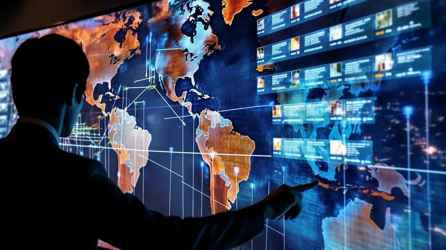
In recent years, the convergence of technological advancements and human rights advocacy has given rise to innovative solutions in monitoring and safeguarding rights worldwide. One of the most revolutionary technologies in this context has been geospatial technology. It encompasses the tools that capture, store, manipulate, analyze, manage, and present spatial or geographic data – most commonly recognized as Geographic Information Systems (GIS), satellite imagery, and drones. But how exactly does this technology impact human rights, and what implications does it have for the global community?
1. Documentation and Verification of Rights Violations
In regions where conflict is rampant, and human rights abuses are often covert, acquiring credible and actionable evidence is challenging. Geospatial technology, especially satellite imagery, has played a pivotal role in bridging this gap. By providing real-time or near-real-time data, it has allowed for the documentation of destruction of property, mass graves, and even the movement of troops or equipment in contentious zones. The undeniable visual proof that these technologies offer can be instrumental in verifying on-ground reports and giving a comprehensive view of the scale of violations.
For instance, in the Darfur conflict, satellite imagery was used to showcase the destruction of villages, which acted as evidence of crimes against humanity. Similarly, other nations have also been under the watchful eye of satellites, revealing concealed nuclear facilities or showcasing the true extent of deforestation.
2. Predictive Analysis for Prevention
Another profound impact of geospatial technology is its predictive capabilities. By analyzing spatial data, organizations can forecast potential conflict zones or areas where rights might be violated in the future. This is immensely useful for pre-emptive actions, be it in the form of international sanctions, diplomatic interventions, or even humanitarian aid. When patterns emerge – say, the movement of military equipment towards a border or a sudden influx of refugees in a region – the international community can be alerted to potential flare-ups or violations.
3. Empowering Local Communities
Geospatial technology is not just the domain of global entities or nations. It has been democratized to the extent that local communities are harnessing its power to defend their rights. Indigenous tribes, for instance, have used GIS to map their ancestral lands, highlighting areas of cultural significance or those threatened by industrial activities. By visually representing their claims, they can engage in more effective dialogues with governments or corporations, ensuring that their rights are not trampled upon.
4. Accountability and Transparency
The use of geospatial tools in human rights advocacy has ushered in an era of increased transparency. These technologies ensure that governments, corporations, and other influential entities are held accountable for their actions. With every satellite image or drone footage, the cloak of secrecy is lifted a little more, ensuring that the world remains a witness to actions that might have otherwise gone unnoticed. This transparency often acts as a deterrent, discouraging potential violations.
5. Challenges and Ethical Concerns
While the benefits of geospatial technology in human rights advocacy are undeniable, it is not without challenges. The accuracy of satellite images can sometimes be disputed, especially if used as evidence in legal proceedings. There are also ethical concerns around surveillance, privacy, and the potential misuse of this technology by authoritarian regimes.
Furthermore, while geospatial technology is a powerful tool in detecting large-scale violations, it might not always be as effective in documenting individual or isolated incidents. The nuances of certain rights violations might go unnoticed amidst the broader landscape.
Conclusion
Geospatial technology, with its potent blend of visualization, accuracy, and real-time capabilities, has undeniably revolutionized human rights advocacy. While challenges exist, the potential of this technology in documenting, predicting, and preventing rights violations is tremendous.
As we move forward, it will be essential to navigate the ethical complexities that come with such technology. The global community must work collaboratively to ensure that geospatial tools are harnessed effectively and responsibly, always keeping the sanctity of human rights at the forefront.