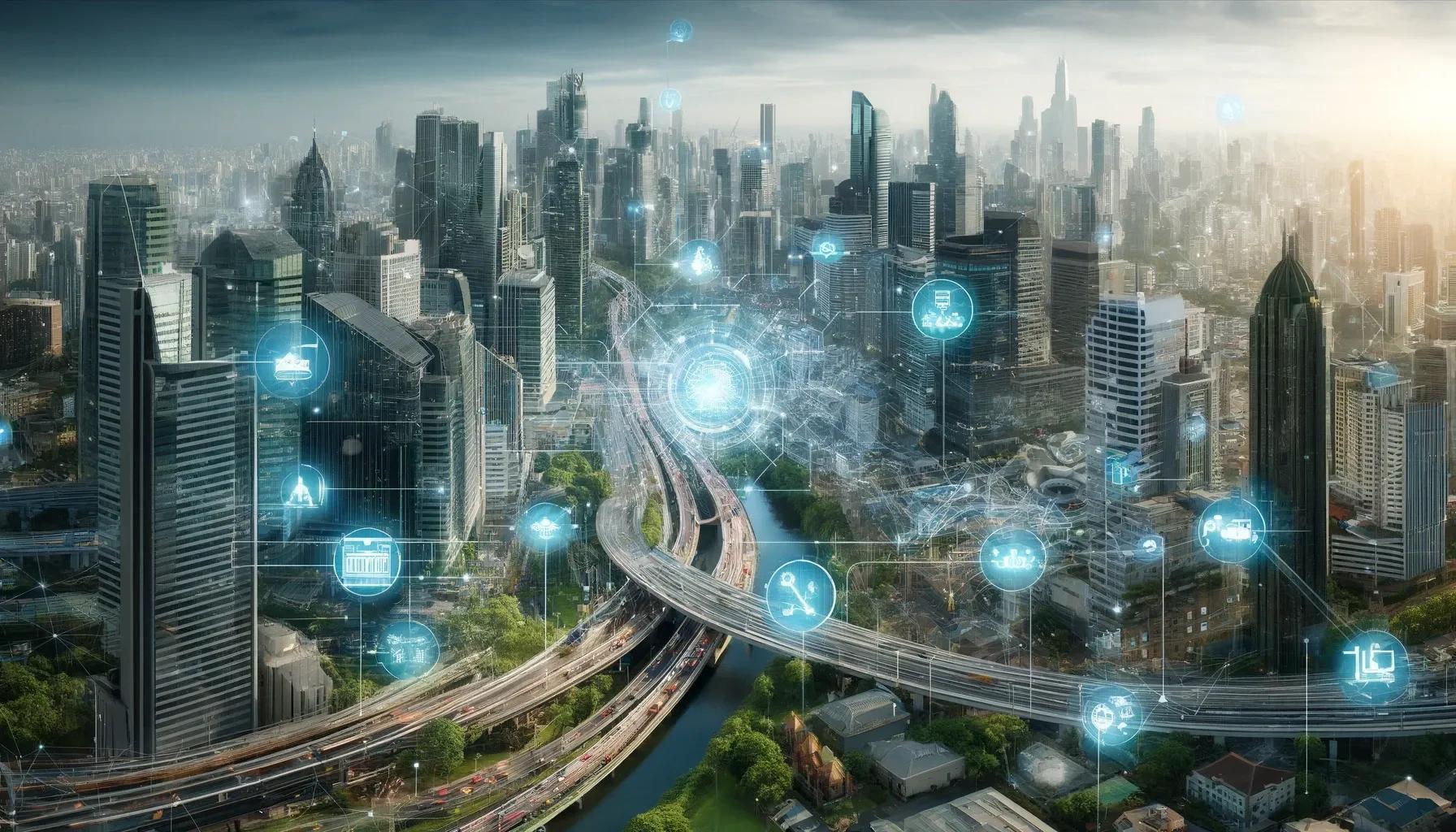
Urban development has always been a complex and multifaceted endeavor, requiring the integration of various disciplines and technologies. In recent years, geospatial technologies have emerged as a pivotal force in transforming urban planning, design, and management. These technologies, which include Geographic Information Systems (GIS), remote sensing, Global Positioning Systems (GPS), and Unmanned Aerial Vehicles (UAVs), provide comprehensive tools for capturing, analyzing, and visualizing spatial data. This article delves into the profound impact of geospatial technologies on urban development, highlighting their applications, benefits, and future potential.
Applications of Geospatial Technologies in Urban Development
1. Urban Planning and Design
Geospatial technologies play a crucial role in urban planning and design by enabling the visualization and analysis of spatial data. GIS, in particular, is instrumental in mapping and managing urban environments. Planners can use GIS to overlay various datasets, such as land use, transportation networks, and demographic information, to make informed decisions about zoning, infrastructure development, and environmental conservation. This holistic view facilitates the creation of sustainable and efficient urban spaces.
Remote sensing provides up-to-date imagery that helps in monitoring land use changes, vegetation cover, and urban sprawl. This data is essential for understanding the dynamics of urban growth and for planning interventions that mitigate negative impacts such as deforestation and habitat loss.
2. Infrastructure Management
Effective infrastructure management is critical for the functionality and resilience of urban areas. Geospatial technologies aid in the maintenance and monitoring of infrastructure assets such as roads, bridges, and utilities. For instance, GPS and GIS can be used to map the precise locations of underground utilities, reducing the risk of damage during construction activities. Additionally, UAVs equipped with high-resolution cameras and LiDAR sensors can inspect infrastructure for damage or wear, providing detailed data for maintenance and repair.
3. Disaster Management and Resilience
Geospatial technologies are indispensable in disaster management and resilience planning. GIS and remote sensing are used to assess risk, model potential disaster scenarios, and develop mitigation strategies. For example, flood risk maps generated using topographic data and hydrological models help in identifying vulnerable areas and planning flood defenses. During disaster response, real-time data from UAVs and GPS enables rapid assessment of damage and coordination of relief efforts.
4. Environmental Monitoring
Urban development often impacts the natural environment, necessitating careful monitoring and management. Geospatial technologies facilitate the tracking of environmental parameters such as air quality, water quality, and vegetation health. Remote sensing data, combined with GIS, can be used to monitor urban heat islands, pollutant dispersion, and green space distribution. This information is critical for implementing policies that enhance urban sustainability and public health.
5. Smart Cities
The concept of smart cities relies heavily on geospatial technologies to integrate and manage urban systems. Smart cities leverage IoT devices, GIS, and real-time data analytics to optimize urban services such as transportation, energy, and waste management. For example, smart transportation systems use GPS and GIS to monitor traffic flow, reduce congestion, and provide real-time information to commuters. These technologies enhance the efficiency, livability, and sustainability of urban areas.
Benefits of Geospatial Technologies in Urban Development
1. Enhanced Decision-Making
One of the primary benefits of geospatial technologies is their ability to enhance decision-making processes. By providing accurate, up-to-date, and comprehensive spatial data, these technologies enable urban planners, policymakers, and stakeholders to make informed decisions. This reduces the risk of errors, optimizes resource allocation, and ensures that urban development projects are sustainable and beneficial to the community.
2. Improved Efficiency
Geospatial technologies streamline various aspects of urban development, from planning and design to construction and maintenance. GIS and GPS facilitate the efficient management of spatial data, reducing the time and effort required for data collection, analysis, and visualization. UAVs expedite inspections and surveys, providing high-resolution data quickly and safely. This improved efficiency translates into cost savings and faster project completion times.
3. Increased Public Engagement
Geospatial technologies also play a role in increasing public engagement and participation in urban development. Interactive GIS applications and web-based mapping platforms allow citizens to access spatial data, visualize development plans, and provide feedback. This transparency fosters trust and collaboration between the public and urban planners, leading to more inclusive and community-driven development projects.
4. Enhanced Resilience and Sustainability
Urban areas face numerous challenges, including climate change, population growth, and resource scarcity. Geospatial technologies contribute to enhancing the resilience and sustainability of cities by providing tools for monitoring environmental conditions, assessing risks, and planning adaptive strategies. For example, GIS can be used to identify areas vulnerable to sea-level rise and develop plans for coastal protection and managed retreat.
5. Data Integration and Interoperability
Geospatial technologies facilitate the integration of diverse datasets, enabling a comprehensive understanding of urban systems. GIS can combine data from various sources, such as satellite imagery, sensor networks, and socio-economic databases, to create a unified spatial framework. This interoperability is crucial for addressing complex urban challenges that require a multidisciplinary approach.
Future Potential of Geospatial Technologies
1. Advancements in Data Collection and Analysis
The future of geospatial technologies in urban development is promising, with ongoing advancements in data collection and analysis. High-resolution satellite imagery, advanced LiDAR sensors, and enhanced UAV capabilities will provide even more detailed and accurate spatial data. Additionally, the integration of AI and machine learning with geospatial technologies will enable more sophisticated data analysis and predictive modeling.
2. Integration with Emerging Technologies
Geospatial technologies will continue to integrate with emerging technologies such as the Internet of Things (IoT), Building Information Modeling (BIM), and Digital Twins. This integration will create a more connected and intelligent urban environment. For instance, IoT sensors embedded in urban infrastructure can provide real-time data on traffic, air quality, and energy consumption, which can be visualized and analyzed using GIS.
3. Expanding Applications
As geospatial technologies evolve, their applications in urban development will expand. New use cases will emerge in areas such as autonomous transportation, augmented reality, and personalized urban services. For example, autonomous vehicles will rely on precise geospatial data for navigation, while augmented reality applications will use spatial data to enhance urban experiences for residents and visitors.
4. Democratization of Geospatial Data
The democratization of geospatial data will empower more stakeholders to participate in urban development. Open data initiatives and user-friendly mapping tools will make spatial data accessible to a broader audience, including community organizations, researchers, and individual citizens. This will lead to more collaborative and innovative approaches to urban development.
In conclusion, geospatial technologies have revolutionized urban development by providing powerful tools for capturing, analyzing, and visualizing spatial data. Their applications in urban planning, infrastructure management, disaster resilience, environmental monitoring, and smart cities have demonstrated significant benefits, including enhanced decision-making, improved efficiency, increased public engagement, and greater resilience and sustainability. As these technologies continue to advance and integrate with emerging innovations, their impact on urban development will only grow, paving the way for smarter, more sustainable, and inclusive cities.