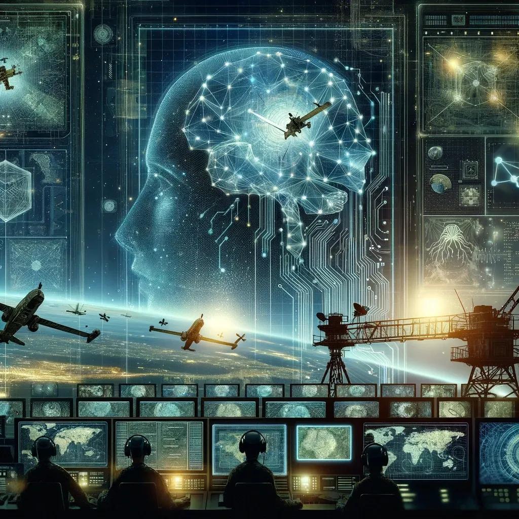
In the dynamic realm of defense and security, geospatial intelligence (GEOINT) has long been a cornerstone, offering crucial insights into the physical landscape and activities across the globe. With the advent and integration of Artificial Intelligence (AI), the potential of geospatial intelligence has been significantly amplified, paving the way for more sophisticated, accurate, and timely analysis. This article delves into the transformative impact of AI in enhancing geospatial intelligence for defense and security.
AI-Driven Geospatial Analysis: A Game-Changer
The integration of AI in geospatial intelligence marks a paradigm shift. Traditional methods of geospatial data collection and analysis, though effective, often struggle with the sheer volume, variety, and velocity of data. AI, with its ability to process large datasets rapidly, brings unprecedented efficiency and precision.
Enhanced Data Processing
AI algorithms, particularly machine learning (ML) and deep learning, can sift through vast amounts of geospatial data collected from satellites, UAVs (Unmanned Aerial Vehicles), and other sensors. This ability to process and analyze data quickly is crucial in time-sensitive scenarios like conflict zones or disaster response.
Accurate Predictive Analysis
AI's predictive capabilities are a significant asset. By analyzing historical and real-time data, AI models can forecast future events or patterns. In defense, this might mean predicting potential conflict zones or enemy movements, enabling preemptive measures.
Image Recognition and Analysis
One of the most notable applications of AI in geospatial intelligence is in image recognition and analysis. Advanced AI algorithms can interpret satellite and aerial imagery to identify objects, assess damages, or monitor troop movements with greater accuracy than ever before.
Real-Time Intelligence and Decision Making
The real-time processing capabilities of AI revolutionize decision-making processes in defense and security. AI-driven geospatial tools can offer live feeds and instant analysis, enabling commanders and decision-makers to respond to evolving situations with agility and informed precision.
Dynamic Battlefield Management
In military operations, the dynamic analysis of geospatial data enables more effective battlefield management. AI systems can provide comprehensive situational awareness, assessing risks, and offering strategic recommendations.
Enhanced Border Surveillance
AI can significantly enhance border surveillance, analyzing terrain and detecting anomalies or potential threats. This capability is vital for maintaining national security and managing cross-border activities.
Challenges in AI and Geospatial Intelligence
Despite its advantages, the integration of AI in geospatial intelligence faces several challenges.
Data Privacy and Security
The handling of sensitive geospatial data raises concerns about privacy and security. Ensuring the protection of this data against cyber threats is paramount, particularly when national security is at stake.
Ethical Considerations
The use of AI in defense and security must navigate complex ethical considerations, particularly around surveillance and the potential for autonomous decision-making systems.
Technological Limitations
While AI offers remarkable capabilities, it is not without limitations. Issues such as algorithmic bias or inaccuracies in data interpretation can lead to flawed conclusions, with significant consequences in the context of defense and security.
Future Directions
Looking forward, the integration of AI in geospatial intelligence is set to deepen, with several areas ripe for further development.
Integration with Emerging Technologies
The convergence of AI with other emerging technologies like IoT (Internet of Things), cloud computing, and 5G networks can further enhance geospatial intelligence capabilities.
Advanced Predictive Analytics
Further advancements in predictive analytics can provide even more nuanced and foresighted intelligence, crucial for proactive defense strategies.
AI Ethics and Governance
Establishing robust ethical frameworks and governance structures around the use of AI in defense and security will be essential to balance effectiveness with ethical considerations.
In conclusion, the integration of AI in geospatial intelligence represents a transformative leap in the field of defense and security. With its ability to process and analyze vast datasets rapidly, AI enhances situational awareness, decision-making, and predictive capabilities. However, this integration is not without challenges, including data privacy, ethical considerations, and technological limitations. As we move forward, addressing these challenges and harnessing the full potential of AI in geospatial intelligence will be crucial in shaping a secure and stable global landscape. The future of defense and security is increasingly digital, and AI is at the forefront of this evolution, offering both unprecedented opportunities and new challenges to navigate.