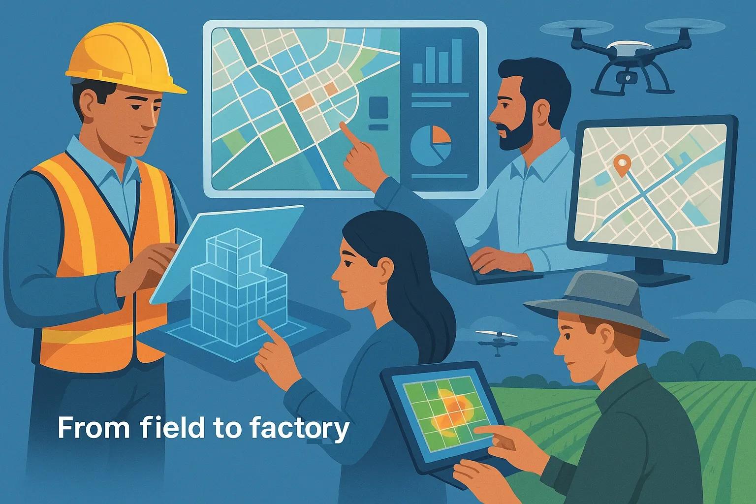
In the digital era, data is not just numerical, it is spatial. From managing construction projects and optimizing urban infrastructure to monitoring agricultural productivity and climate impacts, spatial thinking is emerging as a foundational skill across sectors. As industries transition toward automation, digitization, and sustainability-driven decision-making, the ability to think spatially, understanding the relationships between objects, locations, and patterns in space, has become a core competency for the workforce of the future.
This article examines why spatial thinking is critical for emerging job roles, how it supports digital transformation in key sectors like AEC (Architecture, Engineering, and Construction) and agri-tech, and what organizations and educators must do to cultivate it.
What Is Spatial Thinking?
Spatial thinking refers to the cognitive ability to visualize, analyze, and interpret spatial relationships between objects. It combines three dimensions of understanding:
Spatial visualization – mentally manipulating spatial data, such as maps, blueprints, or 3D models.
Spatial orientation – understanding how objects are positioned in space relative to oneself and other objects.
Spatial reasoning – using logic to interpret and make decisions from spatial patterns and configurations.
In the age of GIS, BIM, drones, and digital twins, spatial thinking has evolved from a cognitive skill to an applied professional capability.
Spatial Thinking Across Industries
1. Architecture, Engineering, and Construction (AEC)
The AEC industry is undergoing rapid transformation through technologies like Building Information Modeling (BIM), laser scanning, and digital twins. These platforms rely on spatial data, site layouts, structural geometry, and location intelligence, to simulate real-world environments and detect clashes before construction begins.
Use case : A BIM model requires professionals to visualize not only the structure but also its interaction with utilities, terrain, and time (4D). Project managers must anticipate how scaffolding, material delivery, or rainfall impacts progress at a specific location.
Skill needed : Interpreting 2D and 3D models, navigating digital project timelines, and using georeferenced data for spatial coordination.
Spatial thinking here is no longer optional, it is required to ensure on-time, cost-effective, and safe delivery of infrastructure projects.
2. Agri-Tech and Precision Agriculture
With the rise of satellite monitoring, drones, and IoT-enabled farms, spatial thinking is now embedded in agriculture. Farmers and agronomists must interpret NDVI maps, soil variability zones, and yield heatmaps to optimize irrigation, fertilization, and harvesting.
Use case : A farmer uses drone imagery to detect crop stress in a specific quadrant of a field, triggering variable-rate application of nutrients.
Skill needed : Understanding spatial variability and integrating it with agronomic knowledge to make data-driven decisions.
Spatial intelligence turns traditional farming into a high-efficiency, data-centric operation.
3. Urban Planning and Smart Cities
Smart cities are built on geospatial frameworks, sensor networks, mobility flows, land-use zoning, and environmental models. Urban planners must anticipate how infrastructure and policy changes affect different zones.
Use case : Planning an EV charging grid across a city by analyzing current traffic density, energy grid constraints, and socio-economic accessibility.
Skill needed : Synthesizing spatial datasets into actionable policy and design.
With urban populations rising, the ability to think spatially is essential for equitable and efficient urban design.
4. Logistics and Supply Chain
Location intelligence drives route optimization, last-mile delivery, and warehouse automation. From heatmaps of delivery times to indoor positioning in warehouses, spatial thinking underpins operational efficiency.
Use case : A logistics manager reroutes delivery vehicles based on real-time traffic data and warehouse load distribution.
Skill needed : Ability to interpret geospatial dashboards, analyze spatial-temporal data, and apply predictive models.
The future of supply chain resilience depends on spatially aware operations.
5. Environment and Climate Science
From flood modeling to biodiversity mapping, climate resilience planning relies on spatial insights. Scientists and policymakers need to connect geographies with environmental patterns.
Use case : Developing climate adaptation plans for a coastal city using GIS-based sea level rise projections.
Skill needed : Multi-layer map interpretation, risk zonation, and geographic correlation of datasets.
Spatial thinking ensures environmental strategies are location-specific and scientifically grounded.
Why Spatial Thinking Is Future-Proof
1. Integrated with Emerging Technologies
Spatial thinking complements digital tools like:
GIS & Remote Sensing : Interpretation of Earth observation data.
BIM & Digital Twins : Navigating 3D models with temporal and physical interactions.
AI & ML : Training location-based prediction models (e.g., urban heat islands or yield forecasting).
XR (Extended Reality) : Immersive visualization of spatial data in training and simulation.
Without spatial understanding, these tools become black boxes. With it, they become decision-making assets.
2. Supports Interdisciplinary Problem Solving
Whether it’s health (e.g., mapping disease outbreaks), education (e.g., mapping school accessibility), or infrastructure (e.g., disaster risk reduction), spatial skills cut across disciplines. In complex systems thinking, location is a common thread.
3. Adapts to Automation and AI
Routine tasks are being automated, but spatial decision-making, especially in unstructured environments, remains human-intensive. Interpreting spatial context is not easily replaced by algorithms. Spatial thinkers will supervise, train, or co-pilot AI systems.
4. Enhances Communication and Collaboration
Visual-spatial models help stakeholders collaborate more effectively, whether it’s engineers and architects reviewing a 3D design or farmers and scientists co-interpreting drone outputs. Spatial literacy improves cross-domain communication.
Building Spatial Thinking in the Workforce
1. Curriculum Modernization
Education systems, especially in India and other emerging economies, must integrate spatial thinking into mainstream STEM subjects. This includes:
GIS labs and map-based assignments in schools.
BIM modeling and geospatial analysis in engineering.
Agri-informatics and remote sensing in agricultural universities.
Certification programs on GIS, drone data interpretation, or 3D modeling should be more accessible in Tier-2 and Tier-3 cities to tap into untapped talent pools.
2. Skill Development Programs
Initiatives like geospatial skill hubs, digital twin bootcamps, and precision agriculture fellowships can offer practical training aligned with real-world applications. These should include:
Hands-on software training (QGIS, AutoCAD, Revit, DroneDeploy).
Scenario-based exercises (e.g., flood risk mapping, construction progress monitoring).
Domain-specific applications (e.g., agri drone operations, urban zoning analysis).
3. Industry-Academia Collaborations
To close the gap between academic training and industry demand, structured internships, sandbox projects, and shared labs must be created. Partnerships between tech firms, startups, and universities can accelerate this.
4. Promoting Spatial Thinking for All
Spatial literacy is not limited to geographers or engineers. Business leaders, policy analysts, marketers, and educators all benefit from understanding “where” and “why there.” Democratizing spatial tools through low-code platforms and intuitive dashboards enables broader participation.
Conclusion
In the future of work, spatial thinking is not just another technical skill, it is a cognitive framework for solving complex, real-world problems. From AEC and agri-tech to logistics, urban planning, and climate resilience, spatial skills are essential for navigating change and unlocking innovation. As automation reshapes job roles, spatially intelligent professionals will remain critical, adaptable, and in demand.
For India and other developing regions, investing in spatial education and tools is a strategic move. It prepares the next generation for high-impact, high-growth careers while driving sustainable development and digital transformation.
Spatial thinking is the compass of the 21st-century workforce, make sure your teams know how to use it.